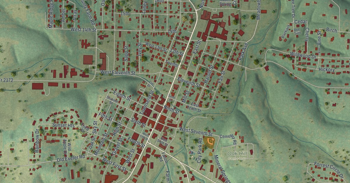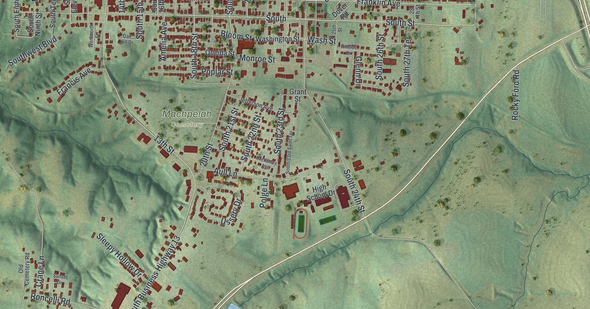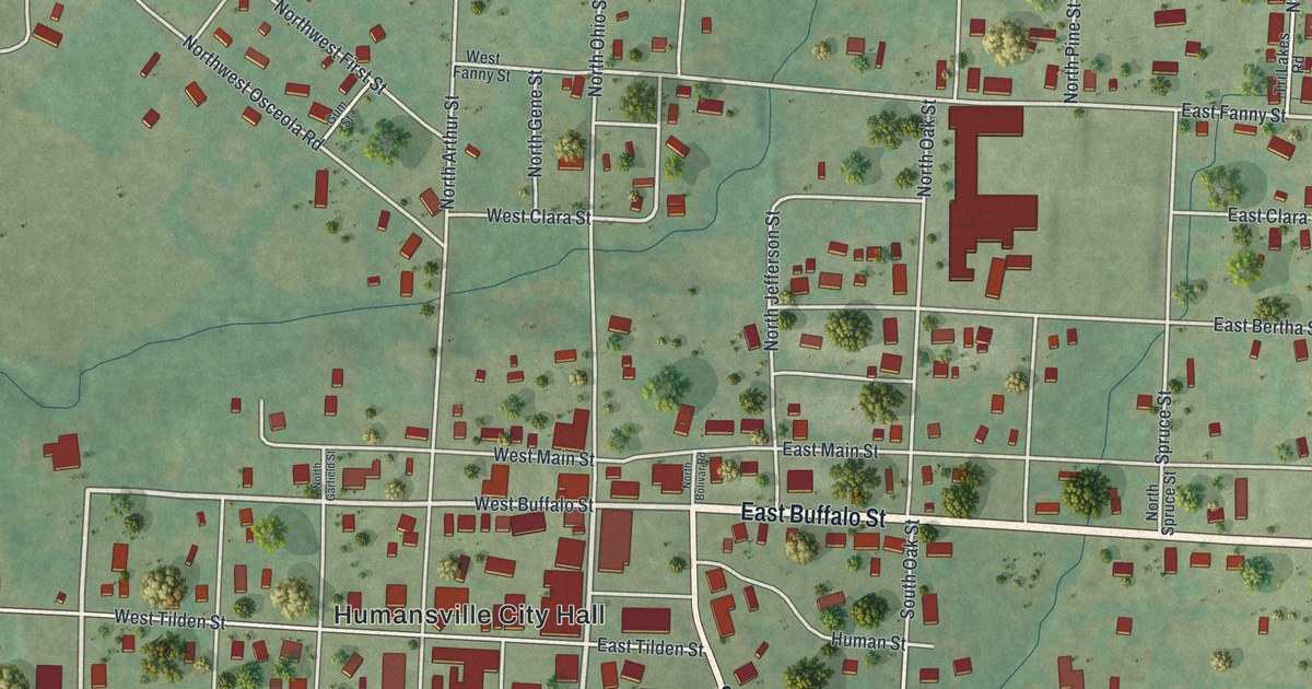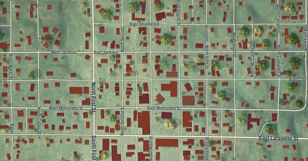
If you grew up in Edina, went to school here, or have family who still drive East Lafayette Street, this map puts the whole town on one sheet. It's a modern aerial view of Edina in Knox County, Missouri, built from modern data and given a vintage printed look. North First Street runs north from East Lafayette Street, while South First Street continues toward the bottom of the map. More than 800 buildings are drawn in red on a tidy grid of streets. Soft green hills and shaded valleys fill the country all around.
North First Street, East Lafayette Street and Milltown
Start in the middle of the sheet, where North First Street and South First Street meet East Lafayette Street. Just east, around South Main Street and East Monticello Street, the red shapes get bigger and closer together. Now head north on North First Street. You'll pass West Jackson and East Jackson, then West Marion Street and East Marion Street. At the west end of Marion, Northwest Marion Street angles off toward the top left corner. Linville Cemetery is printed beside it, near the left edge.
Go back to East Lafayette Street and follow it east. It runs past the last houses and out to the right edge of the sheet. South of it, East Morgan Street, East Bryant Street, East Randolph Street and East Broadway Street stack up one after another. Now return to North First Street and head south. It becomes South First Street and runs all the way to the bottom of the map. In the lower left, Southwest Morgan Street runs on a slant down to Milltown. Pine Street, No One Street and Elm Street make a small loop just west of it. Many of the streets are named, and each red shape is a building, so zoom in on the preview and look for yours.
Edina and Knox County's first circuit court in 1845
People expected Edina to become Knox County's capital from the start. An 1887 county history says, "From the first it was generally understood that Edina was to become the capital of Knox County." When the county was set up, its first three county judges were told to meet at Edina on the first Monday in April. They were Edward Milligan, Melker Baker and Yirgil Pratt. Their job was to get the county's government up and running. The first term of the circuit court met in Edina on October 1, 1845.
Part of downtown Edina is now on the National Register of Historic Places. The Edina Double Square Historic District was listed in 2002. Its address is 118 to 124 South Main Street. On the map, find where South Main Street meets East Lafayette Street. Some of the biggest red shapes on the whole sheet sit right around there.
The Edina print for a Knox County home
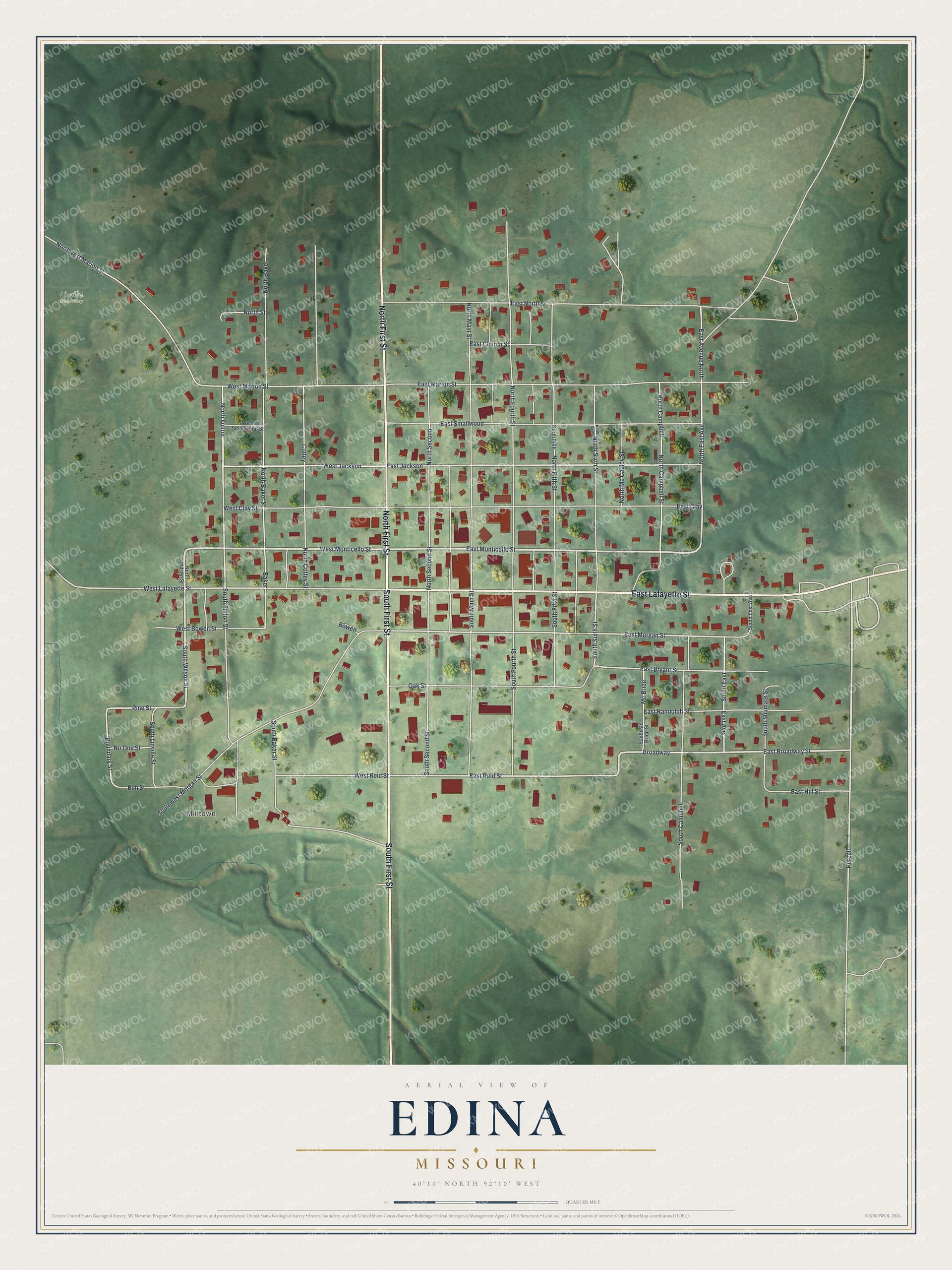
Created by KNOWOL in 2026, this Edina map shows shaded green hills from USGS elevation data, white roads and red buildings. The title panel reads "Aerial View of Edina, Missouri" with the coordinates 40°10' North, 92°10' West and a quarter-mile scale bar.
It suits a kitchen, an office or a front hall where people pass by every day. It's a good gift for someone who grew up near the old blocks of South Main Street and moved away, or for anyone with roots in Knox County. Open the preview and follow East Lafayette Street to a block you know. See sizes and frames for the Edina map.