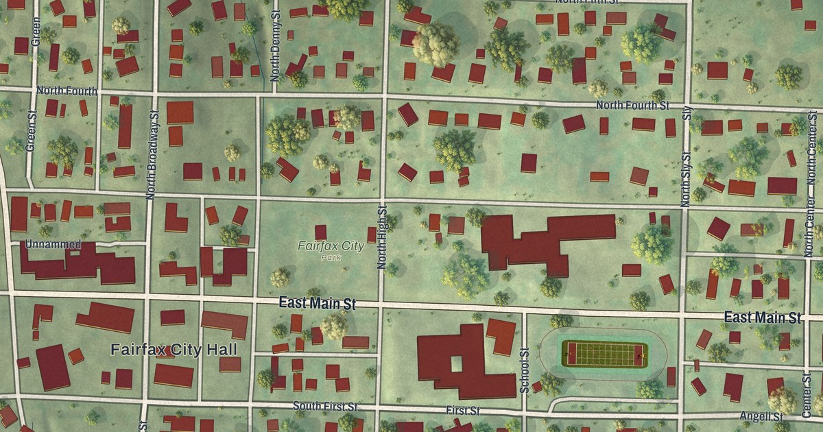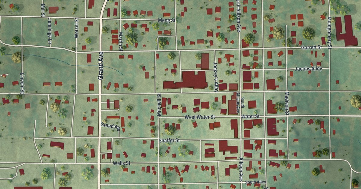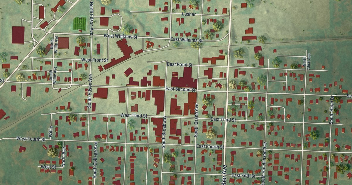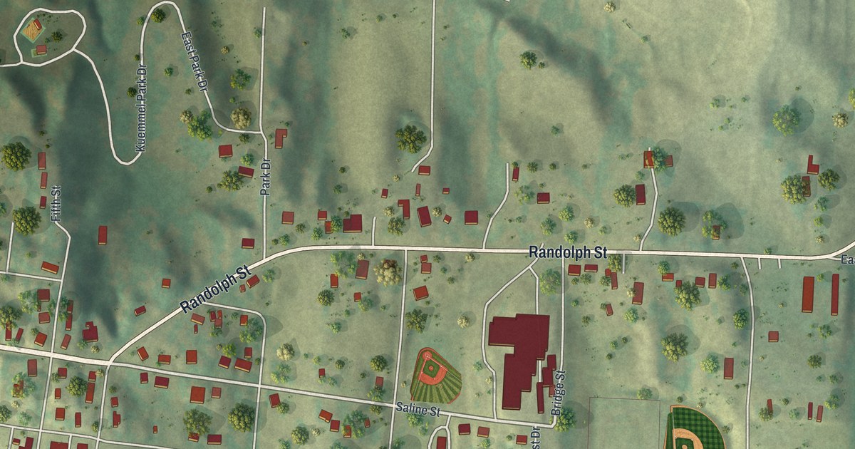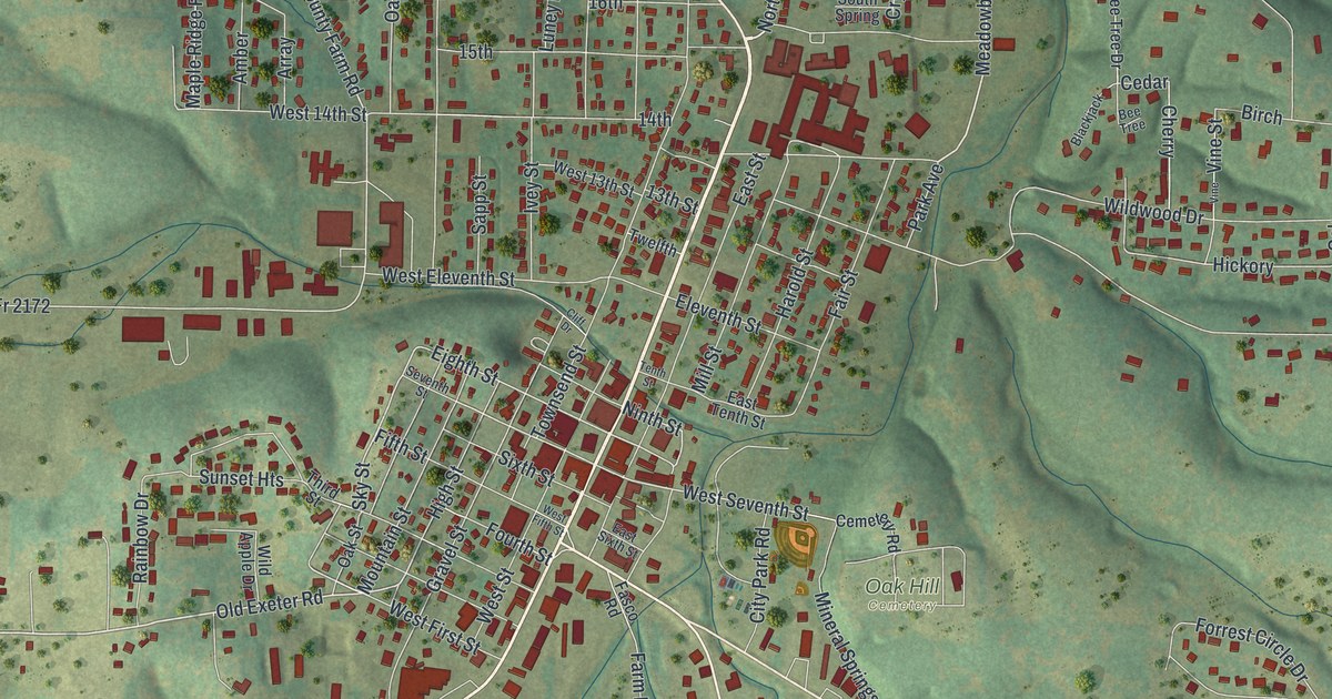
If you grew up in Cassville or still have family on these streets, this map gives you plenty to find. It's a new aerial view of Cassville in Barry County, Missouri, made from modern data and given a vintage look. Main Street cuts on a slant through the middle of town. More than 2,200 buildings are drawn in red. Green, shaded hills fill the country all around, with thin creeks running between them.
Main Street, Oak Hill Cemetery and Old Exeter Road
Start downtown, where Main Street runs through the thickest cluster of red buildings. Follow Main Street northwest from downtown toward the top left of the print. Near the top left, Robinhood Drive and Center are printed east of Main Street. Now come back downtown. Just east of Main Street, West Seventh Street and Cemetery Road run beside Oak Hill Cemetery. City Park Road and Mineral Springs Road are close by.
From downtown, look west along Old Exeter Road toward Smithson Street. Kenny Drive is also printed west of downtown. Farther west, Smithson Street runs north and south along the left side of the print. Sale Barn Road heads off near the bottom left. To the south, Farm Road 1110 runs down from town. At the bottom right, Thompsons Corner and Hilltop are both printed on the map. Many of the roads are labeled, and each red shape is a building, so zoom in on the preview and look for yours.
The Cassville and Exeter Railway
Cassville had its own railroad, the Cassville and Exeter Railway. The Barry County Advertiser called it Cassville's "claim to glory." Some riders hopped a ride without knowing where it went. People along the line sometimes fed them. Those riders found themselves at the end of the line all too quickly. The story is told by the State Historical Society of Missouri. The same account says that while Ray Dingler was away, the line wore down. It closed for the first time since 1919. On the map, Old Exeter Road still carries the name of the town at the other end of the line.
For anyone who knows Main Street in Cassville
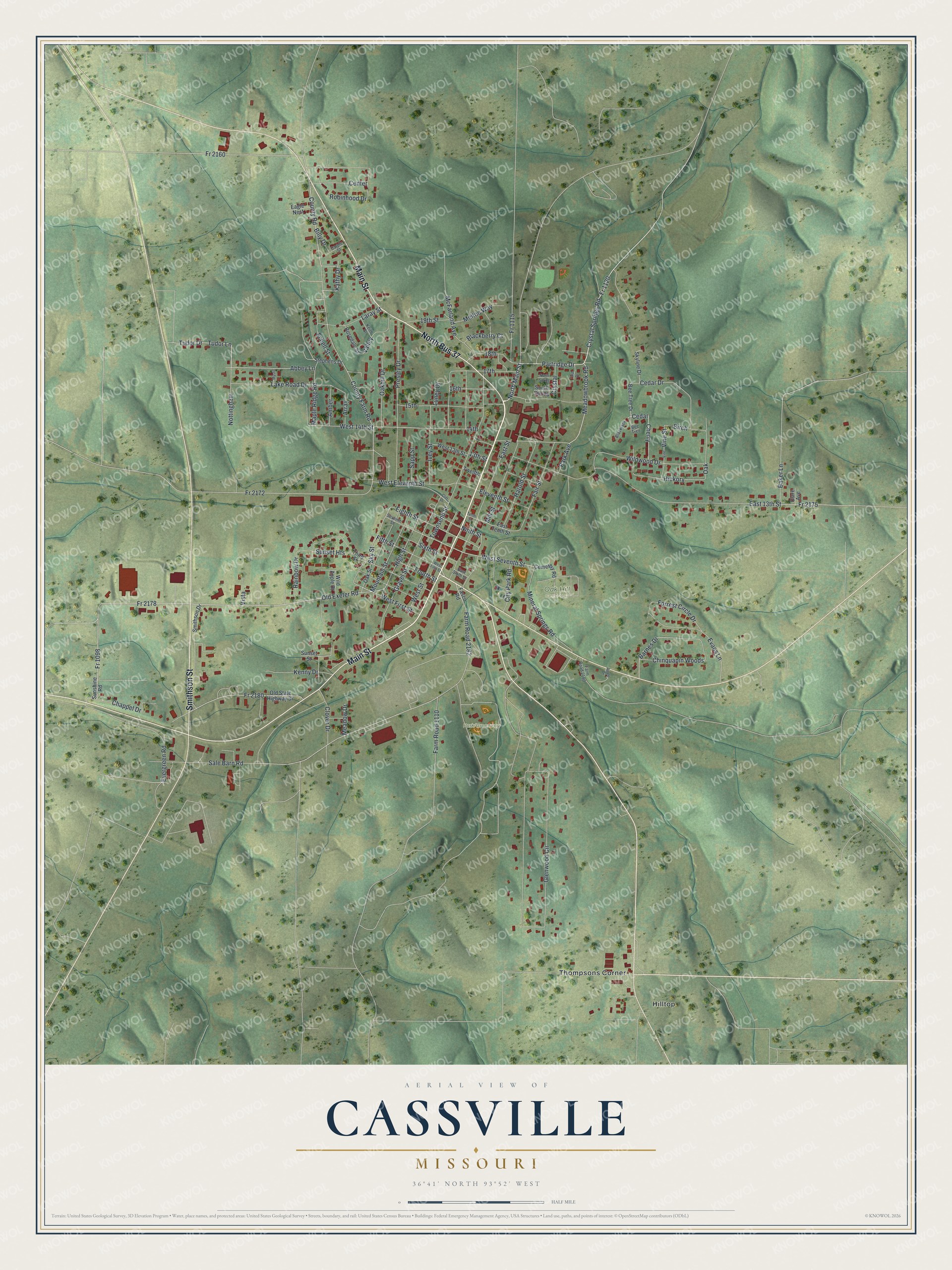
Created by KNOWOL in 2026, this map of Cassville shows red buildings and white roads among the shaded hills. The title panel reads "Aerial View of Cassville, Missouri," with the coordinates 36°41' North, 93°52' West.
It fits an office, a kitchen or a front hall. It's a thoughtful gift for someone who grew up near Main Street, moved away, or has family along Old Exeter Road. Open the preview, zoom in and find the street you know. See sizes and frames for the Cassville map.