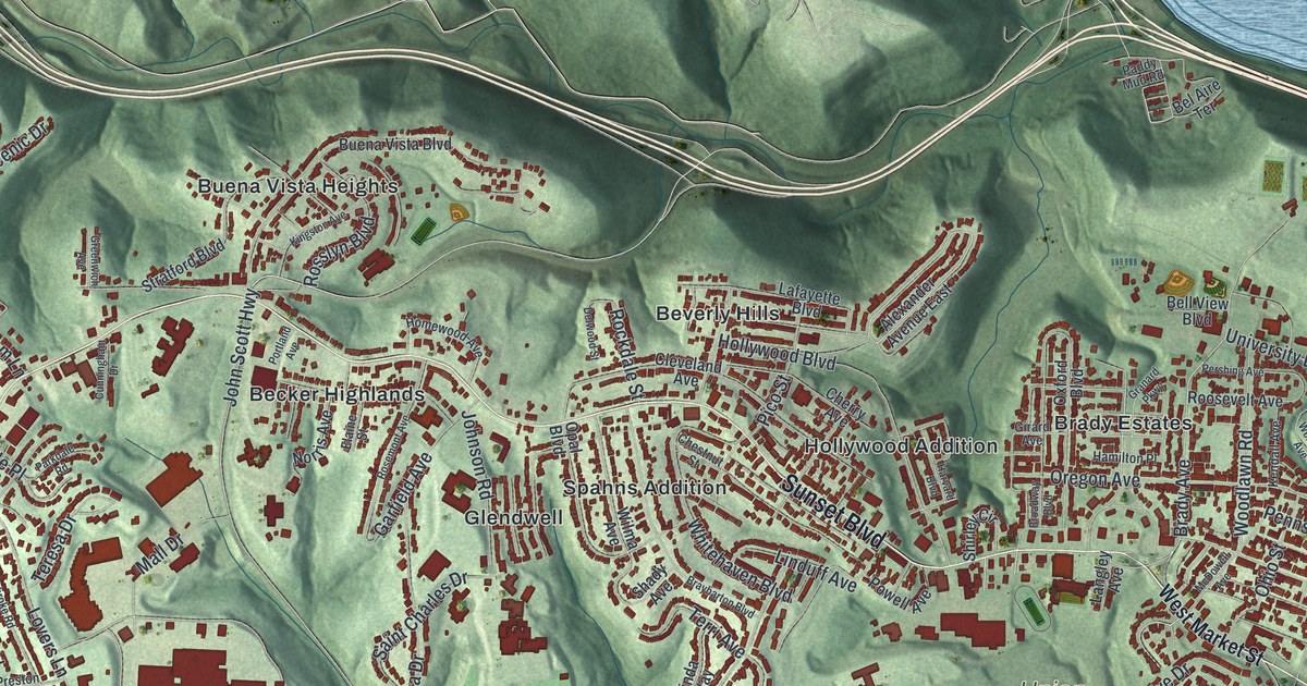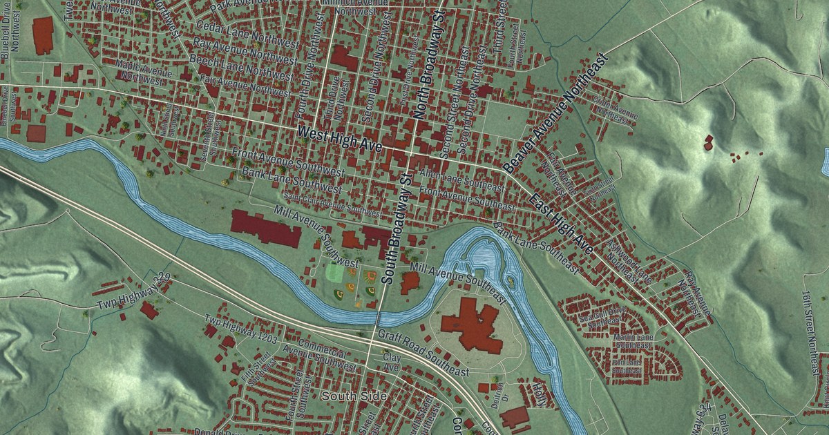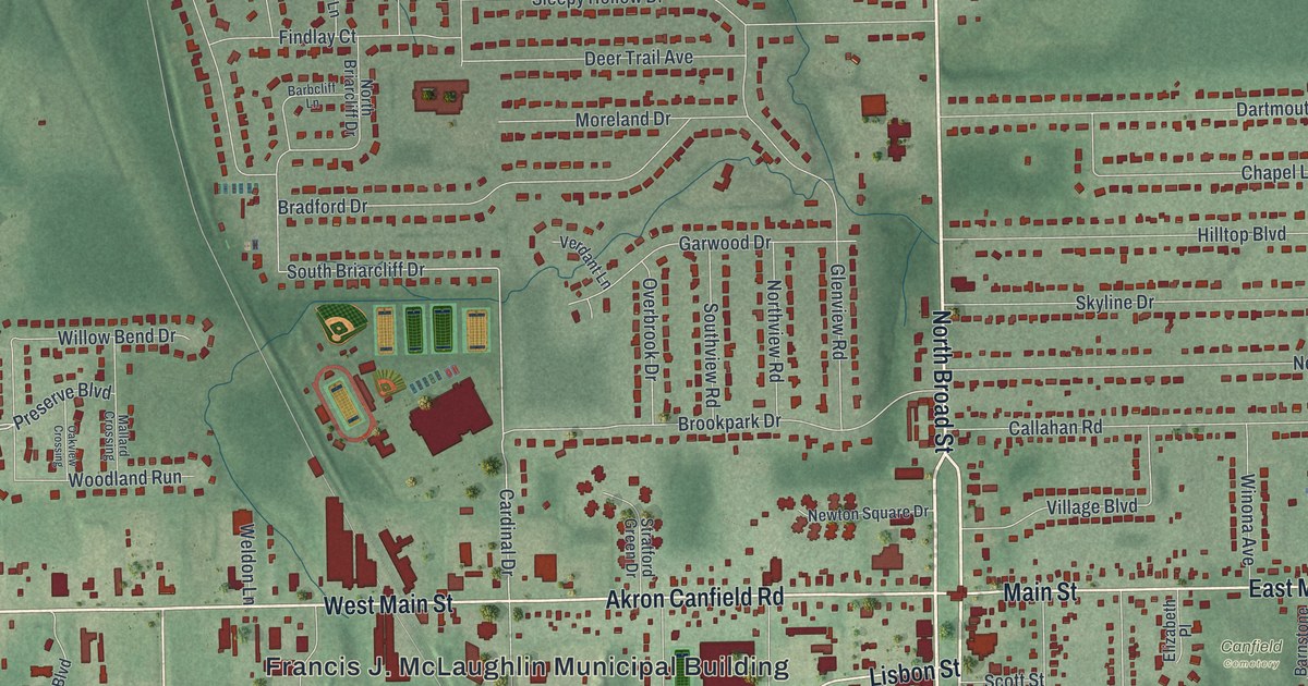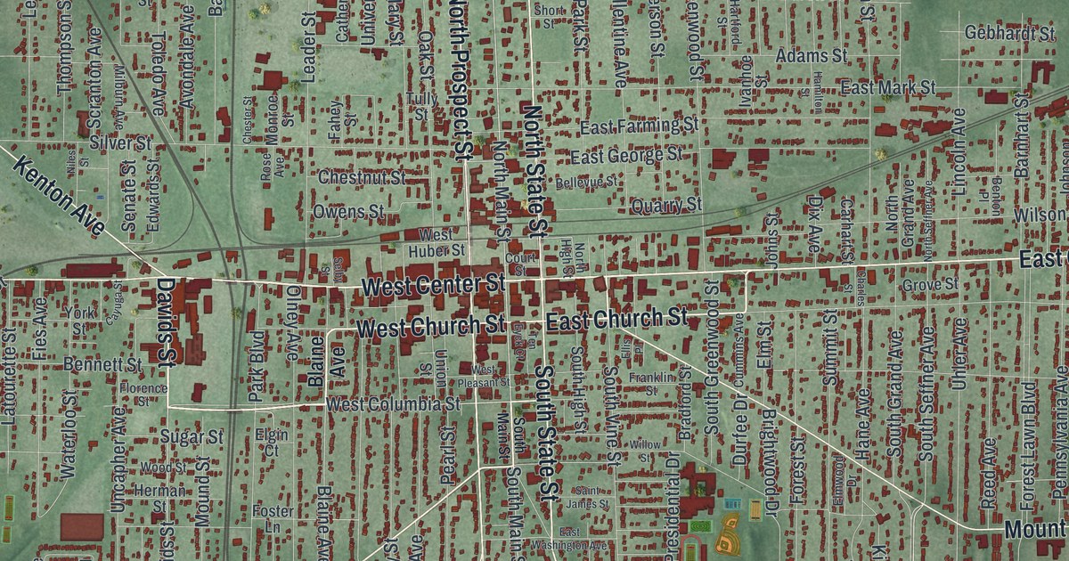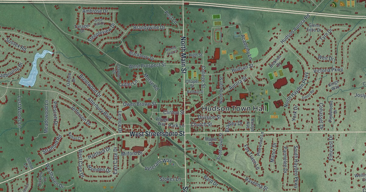
If you grew up in Hudson, went to Western Reserve Academy on College Street, or still have family near Hudson Town Hall, this map has a lot for you to find. It's a modern aerial view of Hudson in Summit County, Ohio, made from modern data and given a vintage feel. More than 12,000 buildings are drawn in deep red on shaded green hills. North and South Main Street run straight down the middle of the sheet, and small blue lakes sit in the woods on both sides of town.
Hudson Town Hall, North Main Street and Darrow Road
Start at Hudson Town Hall, printed in the middle of the sheet. North Main Street runs up from it, and South Main Street runs down. Farther out, the same road is printed as Darrow Road. Just east of the Town Hall, College Street heads north past Church Street and Chapel Street. West Streetsboro Street slants off to the lower left. East Streetsboro Road runs straight out to the right edge, and Ravenna Street heads southeast.
Now follow Darrow Road north. Darrow Road Park sits beside it near the top. Off to the right, Hudson Aurora Road runs up toward Western Reserve Estates, and Hudson Springs Park wraps around a big blue lake. Head back south on Darrow Road instead. You'll pass Colony Park just east of the road, then Terex Road and a group of large red buildings. Darrowville sits near the bottom. Barlow Road crosses the lower part of the map to Barlow Farm Park and Wood Hollow Metro Park. Many roads are labeled, and each red shape is a building, so zoom in on the preview and look for yours.
Frederick Douglass on College Street in 1854
Western Reserve College started in Hudson in 1826, with help from town founder David Hudson. All of its early professors and presidents were Yale graduates, so people called it the "Yale of the West." The college took part in the Underground Railroad and the fight against slavery 28 years before the Civil War. It also built the Loomis Observatory, now the second oldest observatory in the United States. On July 12, 1854, the graduating students invited Frederick Douglass to give their commencement speech. Douglass had been enslaved himself. He spoke for two hours to a crowd of 3,000, and he argued for the equal worth of all people. An Ohio History Connection marker tells the story on College Street near Western Reserve Academy.
The college moved to Cleveland in 1882 and later became Case Western Reserve University. The Academy stayed in Hudson. Now walk back down to Hudson Town Hall. The church's first meetinghouse was dedicated on that spot in 1820. In 1835, its members voted that slavery was "a direct violation of the law of Almighty God." At a prayer meeting in November 1837, church member John Brown made his first public vow to destroy slavery. Find the Town Hall label on the map, then follow College Street north to Chapel Street. Western Reserve Academy is nearby.
Hudson's aerial view and shaded hills
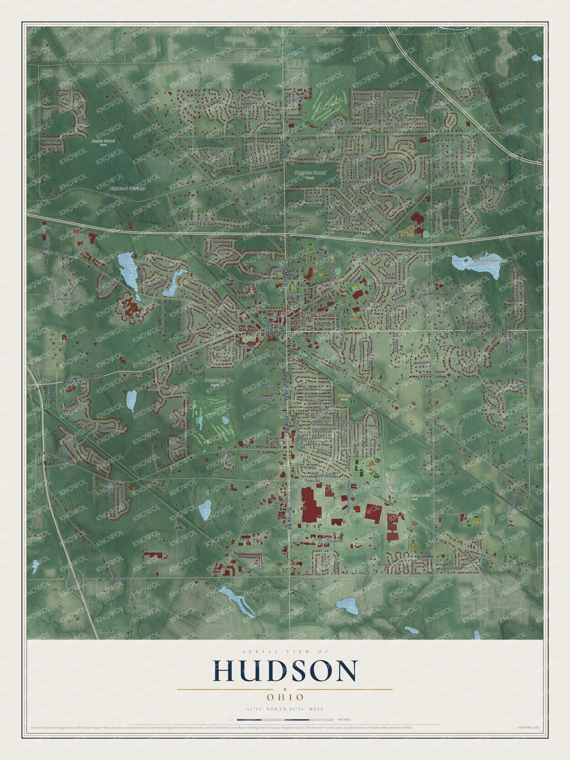
Created by KNOWOL in 2026, this Hudson map shades the land in soft green, with USGS elevation data shaping the hills. The buildings are deep red, and the lakes and ponds are pale blue. The title panel reads "Aerial View of Hudson, Ohio," with the coordinates 41°14' North, 81°26' West and a one-mile scale bar.
It suits a study, a front hall or a family room. It's a good gift for a Western Reserve Academy graduate, or for anyone who grew up near Hudson Town Hall and moved away. Open the preview, start at the Town Hall and find your own street. See sizes and frames for the Hudson map.