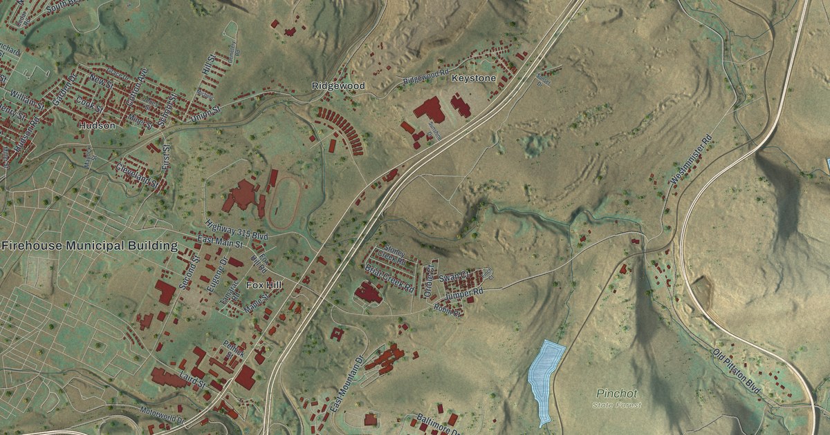
If you grew up in Hudson, Midvale or Hilldale, or still have family near North Main Street, this map has the streets you know. It's a modern aerial view of Plains Township in Luzerne County, Pennsylvania, made from modern data and finished with a vintage feel. A blue river bends down the left edge of the sheet. Beside it, the valley floor is packed with red buildings. A wide highway cuts across the middle on a slant. Past it, bare ridges climb toward Pinchot State Forest and two long blue lakes.
From Plainsville and Port Bowkley to Fox Hill
Start at Plainsville, near the river at the top left. River Road runs down past it and meets Courtright Street. Just to the right is Hilldale, where William Street meets Hilldale Avenue and Farrell Street. Follow William Street down to Hudson Road. The red grid gets thicker around Hudson, with Cook Street, Mayock Street and Cleveland Street. Port Bowkley sits by the river on Wyoming Street and Amesbury Street. Warner Street and Maffett Street lead a little farther down to Midvale.
From Hudson, look right toward Union Street. Laird Street meets Union Street above Ridgewood. Union Street runs south past Ridgewood, and Ridgewood Road heads east toward Keystone. Farther down, Highway 315 Boulevard passes Fox Hill and the Fox Hill Firehouse Municipal Building. Fox Hill Road and Jumper Road head east from there. Jumper Road meets Westminister Road and Old Pittston Boulevard. Pinchot State Forest is farther right on the map. Bear Creek Boulevard runs along the bottom past Boulevard Manor. Each deep red shape is a building, and many streets carry their names, so zoom in on the preview and find your corner.
Big Ed Walsh, born in Plains in 1881
In 2004, the Pennsylvania Historical and Museum Commission dedicated a marker to Edward A. Walsh. It says he was born nearby in Plains on May 14, 1881. The marker calls him "Big Ed." He pitched for the Chicago White Sox. From 1906 to 1912, he won an average of 24 games a year. Twice he pitched more than 400 innings in one season. In 1908 he won 40 games and threw 11 shutouts. That year he started both games of a doubleheader and won them both. He finished his career in 1920 with a 1.82 earned run average. He joined the Baseball Hall of Fame in 1946. His marker stands on North Main Street at Carey Street. On the map, look for North Main Street and West Carey Street in the crowded red grid on the left side of the sheet.
The Plains map from the river to Pinchot State Forest
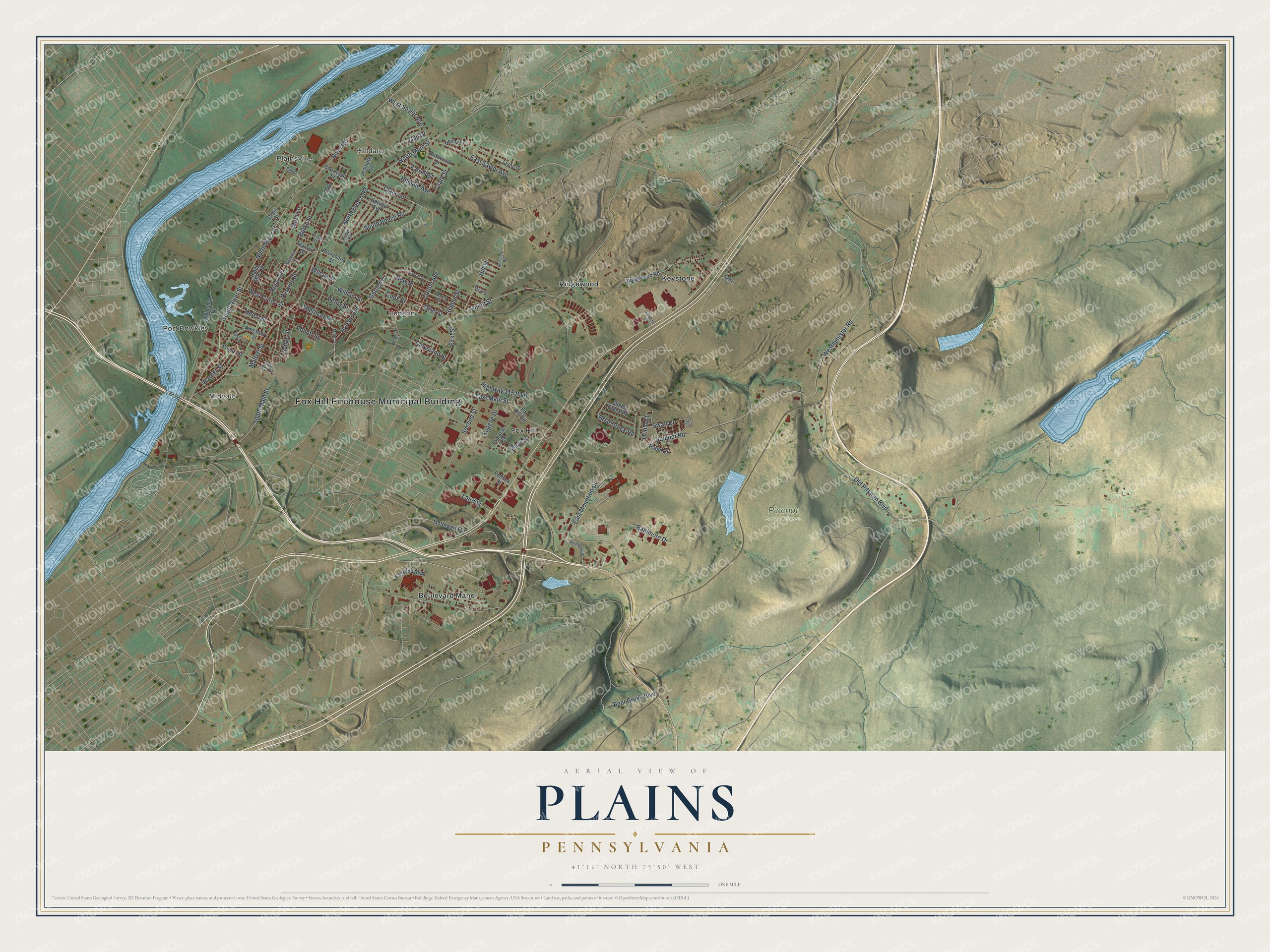
Created by KNOWOL in 2026, this map of Plains Township shades the ridges in green and tan from USGS elevation data. The river and lakes are blue, and the buildings are deep red. The title panel reads "Aerial View of Plains, Pennsylvania," with the coordinates 41°16' North, 75°50' West and a one-mile scale bar.
It suits a den, a kitchen or a family room. It's a good gift for a baseball fan who knows the Ed Walsh marker on North Main Street, for someone who grew up near Fox Hill, or for anyone who moved away from Luzerne County. Open the preview, start at Plainsville and follow the streets down to a corner you know. See sizes and frames for the Plains map.