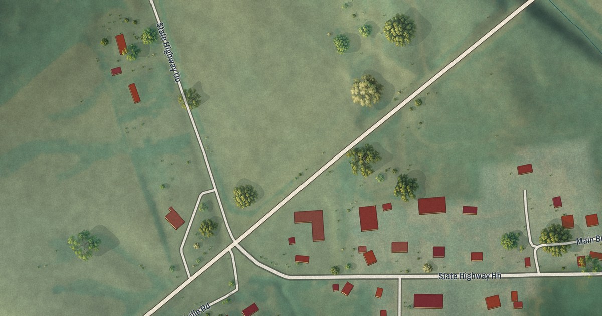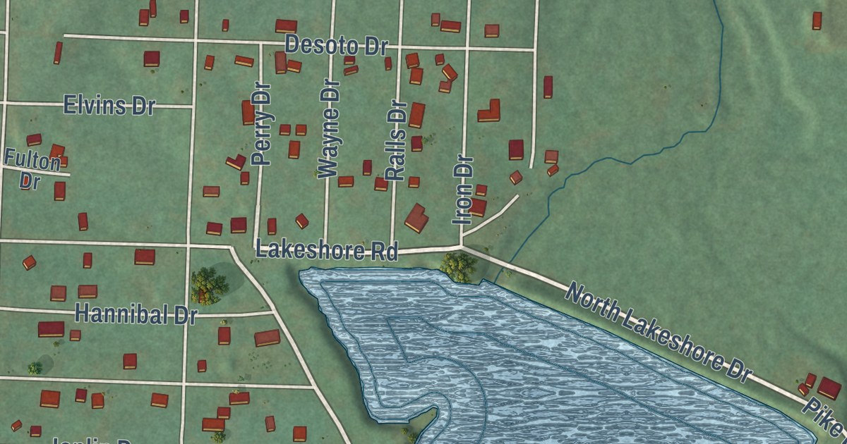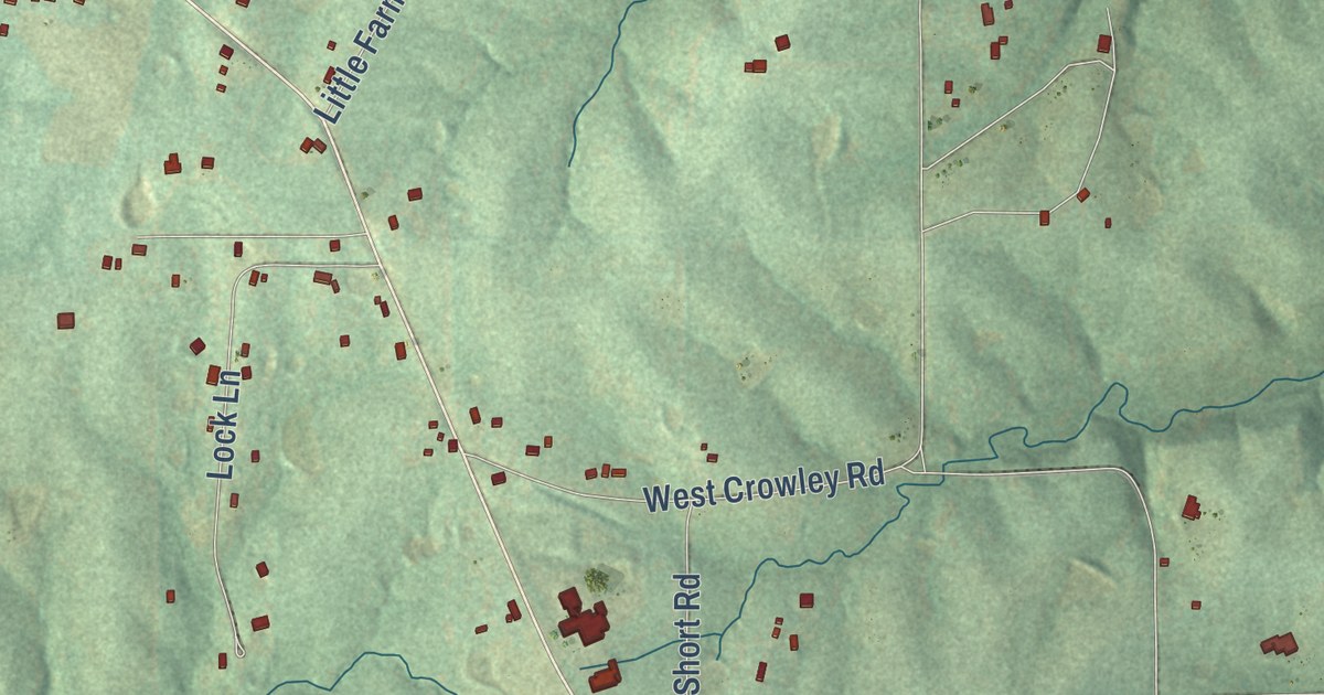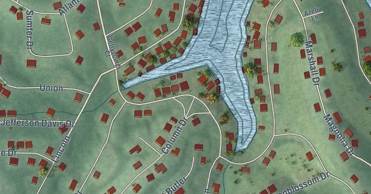
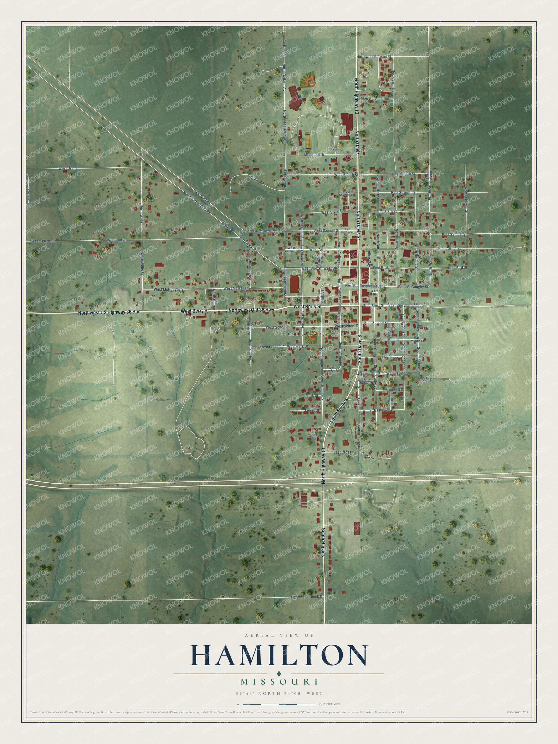
This beautifully detailed map of Hamilton, Missouri was created in 2026 using aerial imagery combined with modern topographical, census, street and landmark data. It’s a one-of-a-kind view of Hamilton that combines accurate data with a vintage aesthetic. The map shows every building in its true location, many of the roads carry their names, and the shaded topographic relief shows the shape of the land.
Explore an aerial view of Hamilton, Missouri
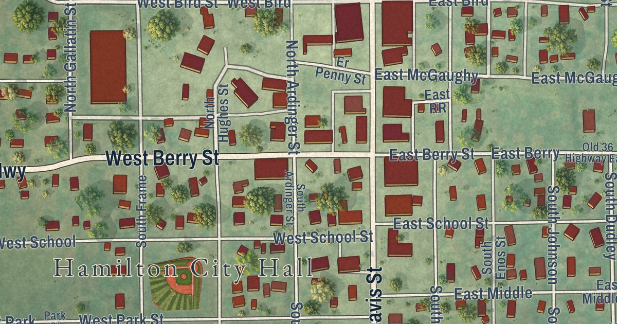
On the map you’ll find Hamilton City Hall, Northwest US Highway 36 Bus, North Davis, South Hughes, and West Bird, along with West Berry Street, Northwest Old 36 Highway, North Davis Street, South Davis Street, North Highway 13, West Bird Street, North Gallatin Street, and more. If you look closely you can even find your house accurately drawn in its correct location. Zoom in on the preview to look for yours.
Did you know this piece of Hamilton, Missouri history?
Hamilton grew up along the Hannibal and St. Joseph Railroad. Its founders first planned to call it Prairie City. Albert Gallatin Davis chose the present name instead. It honored two early Americans. One was Founding Father Alexander Hamilton. The other was Joseph Hamilton, a lawyer and soldier killed at the Battle of the Thames in 1812.
Take a closer look at the Hamilton map
Street and place names on the Hamilton, Missouri map
These names are printed on the map of Hamilton, Missouri.
Places: Hamilton City Hall and West Park.
Streets and roads: West Berry Street, Northwest Old 36 Highway, North Davis Street, South Davis Street, Northwest US Highway 36 Bus, North Davis, North Highway 13, South Hughes, West Bird Street, North Gallatin Street, West Bird, North Ardinger.
More street names, A to Z
Alley Way, Ardinger Street, Burdick Street, Cemetery Road, Circle Drive, County Route 59, Cross Street, East Arthur Street, East Berry, East Berry Street, East Bird, East Bird Street, East Chestnut Street, East Cross, East Division, East Division Street, East Eighth Street, East Irwin Street, East McGaughy, East McGaughy Street, East Middle, East Middle Street, East RR, East Samuel Street, East School Street, East Seventh Street, East Sixth Street, East Walnut, East Walnut Street, Er Penny Street, Irwin Street, James Street, Jones Avenue, Mark Street, Memorial Drive, North Ardinger Street, North Burruss Street, North Burrus Street, North California, North Ewing, North Ewing Street, North Frame, North Frame Street, North Gallatin, North Gallatin Avenue, North Harper, North Hughes, North Hughes Street, North Lincoln Street, North Prairie, North Prairie Street, North Ritchie Street, Northwest Harley Road, Northwest Knock Drive, Northwest Putnam Street, Northwest Railroad Street, Northwest RR, Northwest State Highway CC, North Willis, North Willis Street, Old 36 Highway East, Park Street, Prarie Street, Rich Hill Street, Richill Drive, South Ardinger, South Ardinger Street, South California, South California Street, South Colby, South Colby Street, South Davis, South Dudley, South Dudley Street, South Enos Street, South Frame, South Hughes Street, South Johnson, South Johnson Street, State Highway CC, Trinity Lane, West Arthur, West Arthur Street, West Drane, West Eighth Street, West Garden Lane, West Harris, West Harris Street, West McGaughy, West McGaughy Street, West Park Street, West RR, West Samuel, West Samuel Street, West School, West School Street, West Seventh Street, West Sixth Street.
See the Hamilton, Missouri map on a wall
The Hamilton map as an 18 x 24 inch print in a black frame.

This beautifully detailed map of Hamilton makes an attractive addition to your office, library, or den, and it can even be used to teach children the geography and history of the area. It also makes a great gift for someone who left Hamilton and still calls it home. When you’re done exploring, click here to get your copy of the Hamilton map.