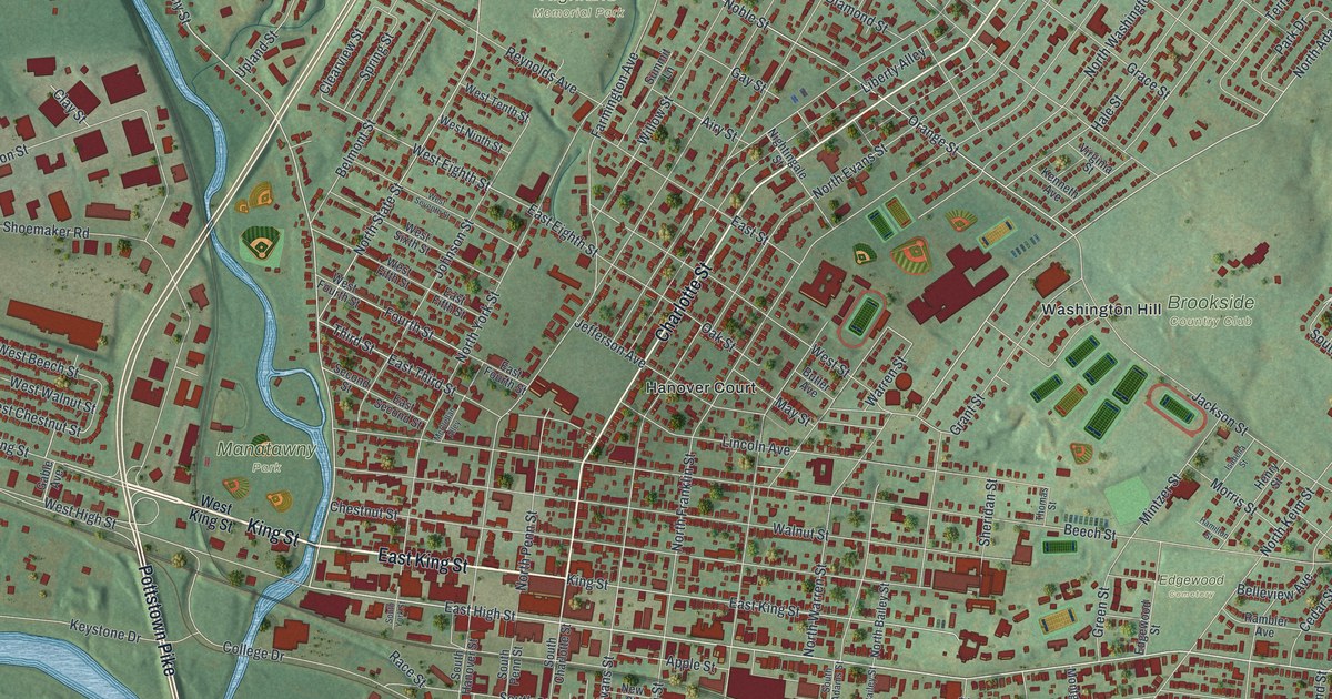
If you grew up in Pottstown, went to school here or still have family near Charlotte Street, this map gives you a lot to find. It's a modern aerial view of Pottstown, a borough in Montgomery County, Pennsylvania, made from modern data with a vintage artistic feel. A wide blue river curves along the bottom, and a smaller creek winds down from the top left to meet it. In between, more than 9,000 buildings are marked in deep red. Green hills rise all around the top of the sheet.
From Manatawny Park up Charlotte Street
Start at Manatawny Park, beside the creek on the left side of the map. King Street runs east from the park toward the center of town, and East King Street carries on through downtown. At Charlotte Street, turn north. Charlotte Street climbs toward the top right corner. On the way it passes Hanover Court and crosses Walnut, Chestnut and Beech Streets.
Now follow Beech Street east. Washington Hill and Brookside Country Club sit above it, and Edgewood Cemetery is just below. At the top of town, State Street runs past Highland Memorial Park. Down by the river, Riverfront Park sits near Pottstown Pike. Back at Manatawny Park, Manatawny Street runs north to Glasgow in the top left corner. Many roads are labeled, and each red shape is a building, so zoom in on the preview and look for yours.
How John Potts started Pottstown
John Potts, an ironmaster, founded Pottstown. In 1752 he built Pottsgrove Manor. A state historical marker at the manor says that by 1762 his land covered 1,000 acres. It took in the town, an iron forge, gristmills and other businesses. The town became the borough of Pottstown in 1815. The marker is on West High Street, across from College Drive. Find College Drive near Riverfront Park, and you're close to the spot.
A state marker at High and York says the first iron truss bridge in the United States was built in 1845. It was made in the Philadelphia and Reading Railroad blacksmith shop, just south of that corner.
For someone who knows Charlotte Street and Washington Hill
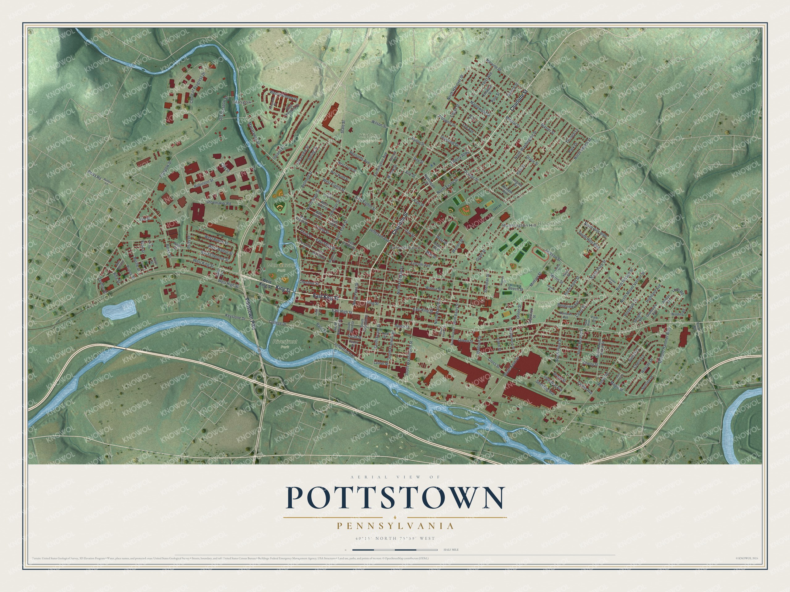
Created by KNOWOL in 2026, this Pottstown map fits an office, a den or a family room. The shaded hills come from USGS elevation data, and the red buildings fill the land between the hills and the river. The title panel reads "Aerial View of Pottstown, Pennsylvania," with the coordinates 40°15' North, 75°39' West and a half-mile scale bar.
It's a thoughtful gift for someone who grew up near Manatawny Park, or for anyone with family still on Washington Hill. Open the preview, zoom in and find the streets you know. See sizes and frames for the Pottstown map.