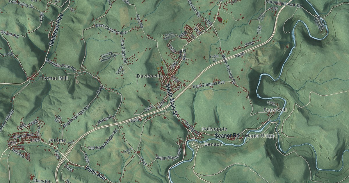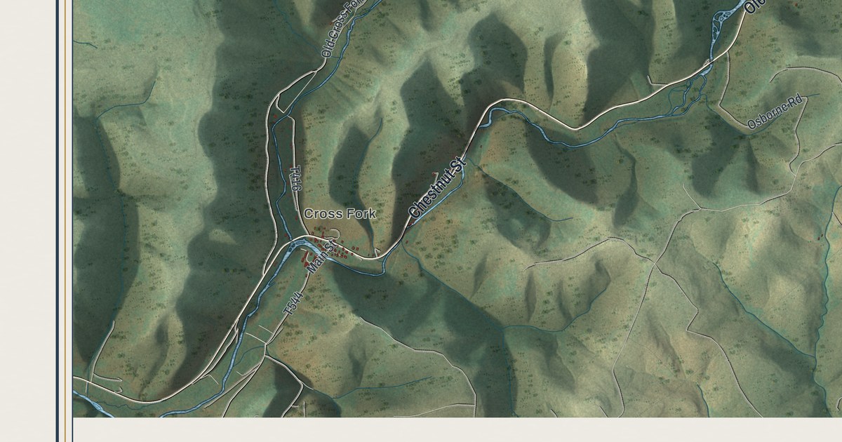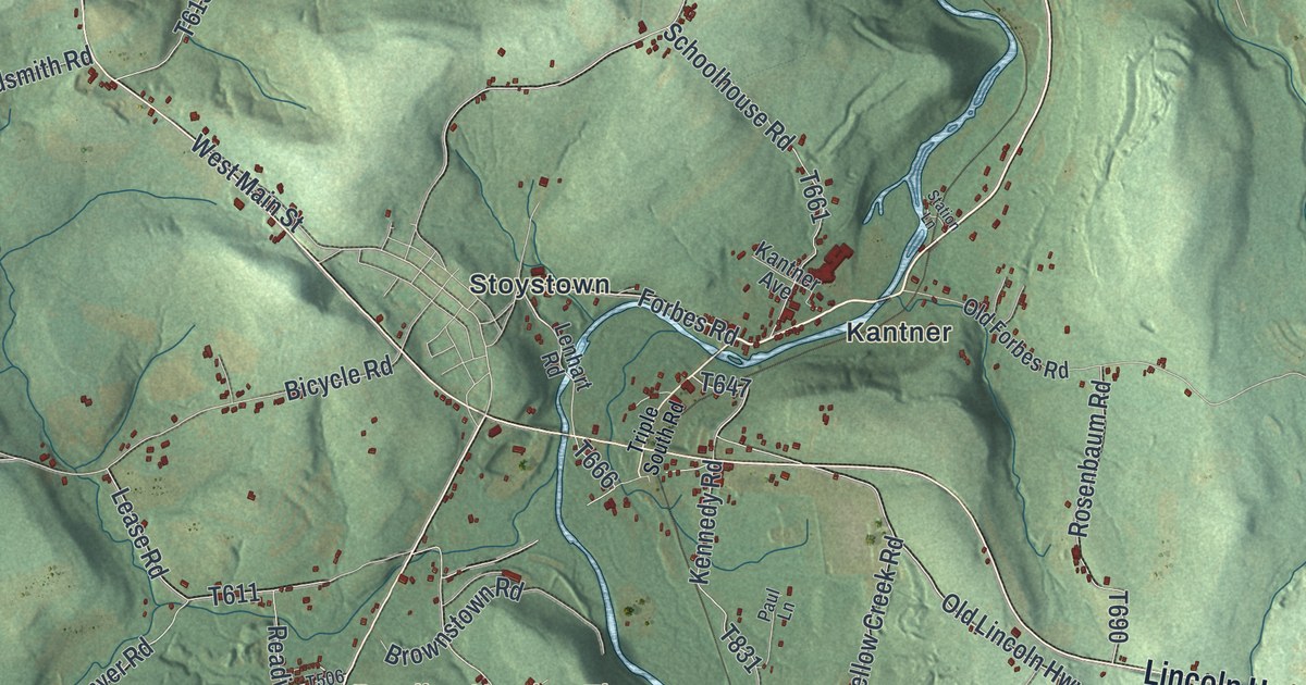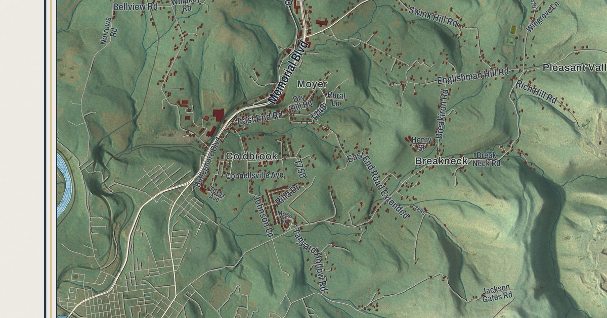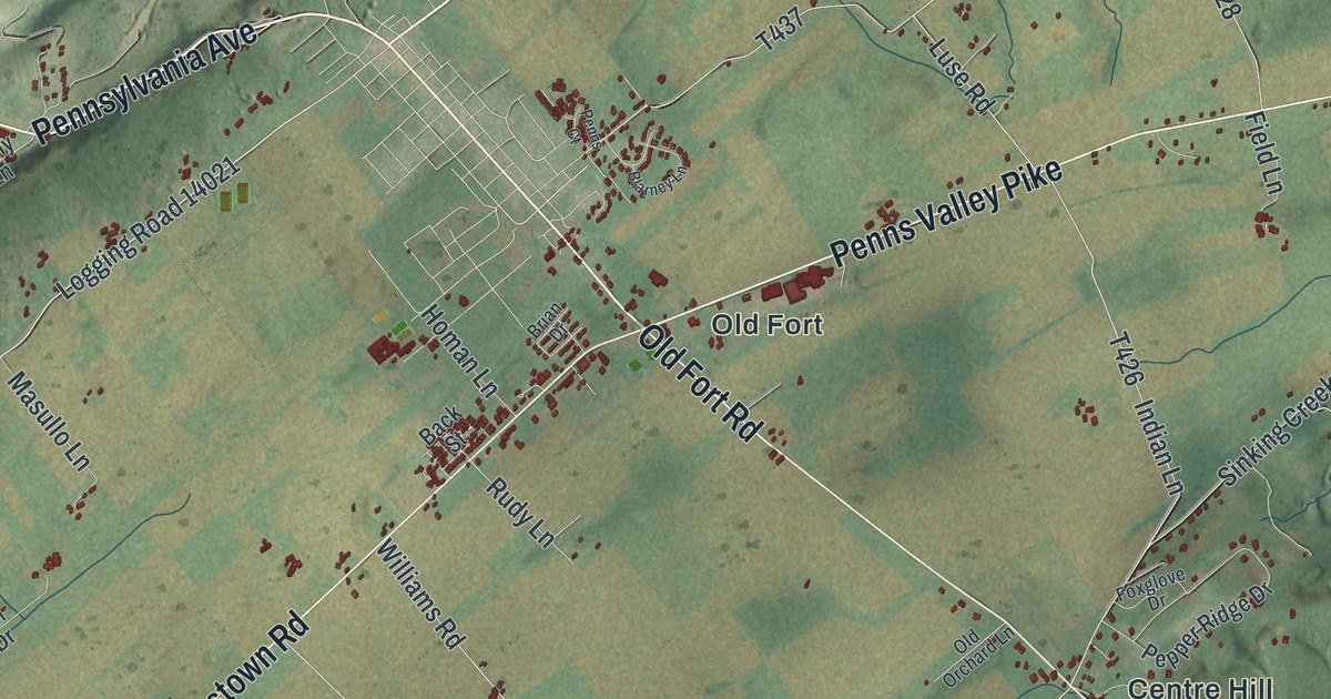
If you grew up along Penns Valley Pike, or have family in Potters Mills, Tusseyville or Centre Hill, this map has plenty to find. It's a modern aerial view of Potter Township in Centre County, Pennsylvania, made from modern data and given a vintage artistic feel. Long green ridges run from corner to corner, with farm fields in the valleys between them. Buildings are marked in dark red. The view runs from Penns Valley Pike near the top down to Rothrock State Forest at the bottom.
Old Fort Road, Centre Hill and General Potter Highway
Start at Old Fort, near the top of the sheet, where Old Fort Road meets Penns Valley Pike. The pike heads east up the valley. Earlystown Road runs off to the southwest. Now follow Old Fort Road south. At Centre Hill it crosses Sinking Creek Road and Airport Road. Keep going and you'll reach Potters Mills on General Potter Highway.
Turn west on General Potter Highway. It passes Red Mill and then Tusseyville. Red Mill Road heads north from the highway; farther west, Tusseyville Road runs through Tusseyville. South of the highway, Colyer and Fruittown sit near a small blue lake, off Colyer Road and Polecat Road. Past them, Boal Gap Road climbs toward Rothrock State Forest. Bald Eagle State Forest is printed on the right side. Many roads are labeled, and each red shape is a building, so zoom in on the preview and look for yours.
Potter's Fort: a refuge built in 1777
A Pennsylvania historical marker says Gen. James Potter built Potter's Fort in 1777. It calls the fort a stockaded refuge for settlers in the valley. The marker says the site is on a nearby rise.
The marker's listed location is on South Pennsylvania Avenue, just northwest of the Earlystown Road and Penns Valley Pike junction. On the map, find the Old Fort label and follow Old Fort Road past Centre Hill to Potters Mills. Farther west, Red Mill is labeled beside General Potter Highway, where Red Mill Road heads north.
For anyone from Potters Mills, Tusseyville or Old Fort
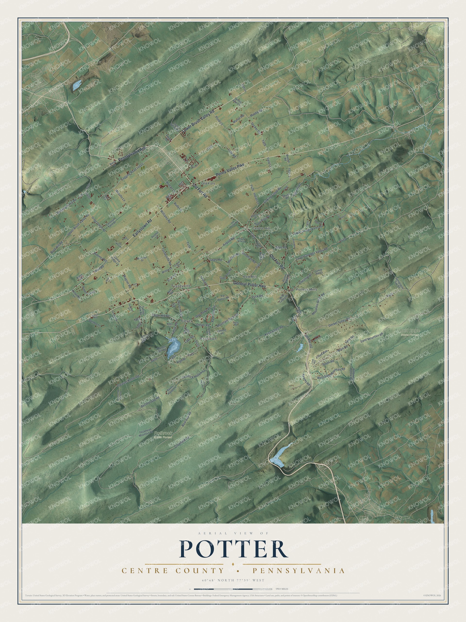
Created by KNOWOL in 2026, this map of Potter Township is drawn in soft greens, with the ridges shaded from USGS elevation data and the buildings in dark red. The title panel reads "Aerial View of Potter, Centre County, Pennsylvania," with the coordinates 40°48' North, 77°39' West and a two-mile scale bar.
It fits a farmhouse kitchen, a den or a camp wall. It's a thoughtful gift for someone who grew up near Red Mill, or who has family out on Penns Valley Pike and moved away. Open the preview, zoom in and trace the road home. See sizes and frames for the Potter, Centre County map.