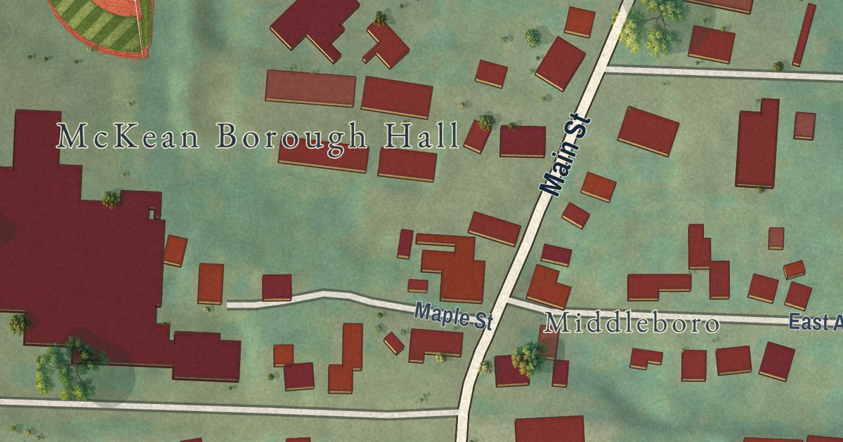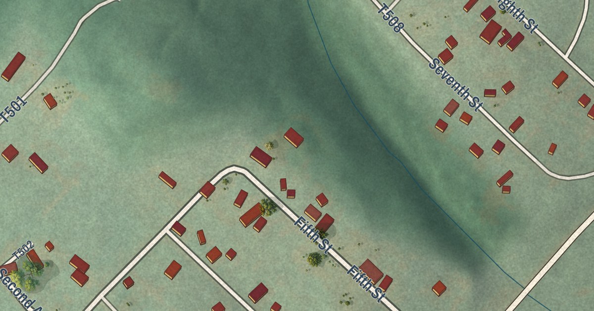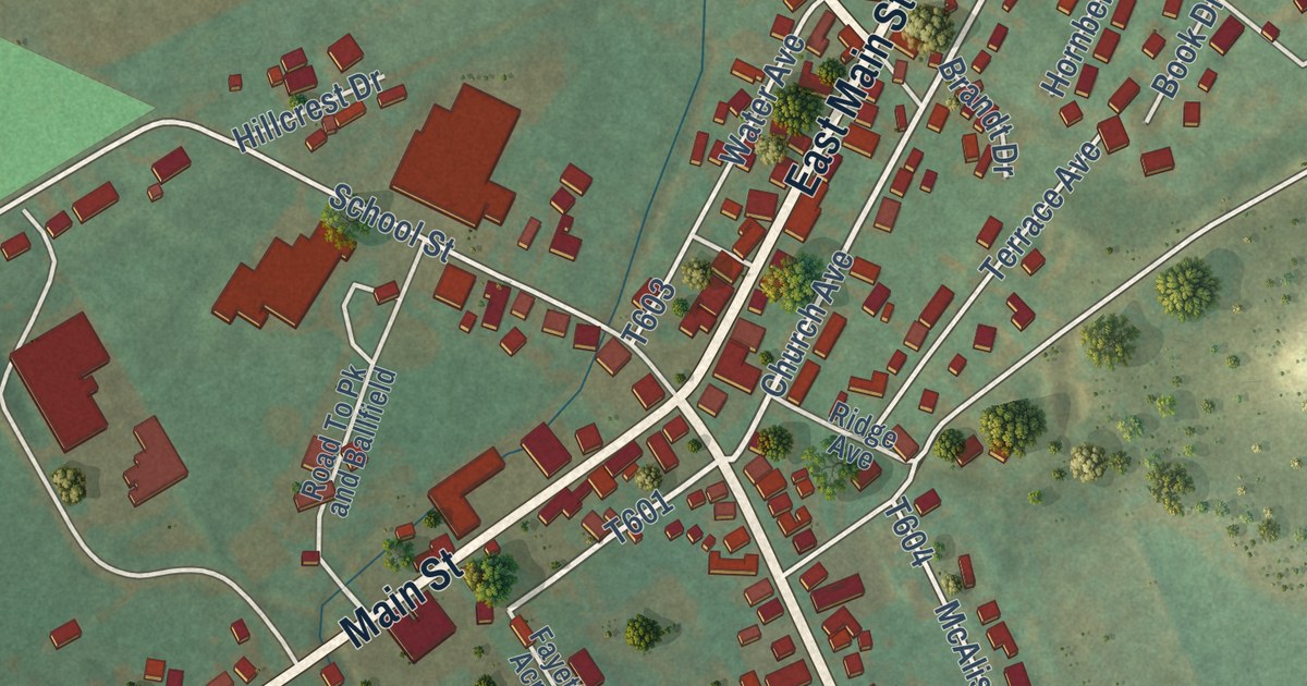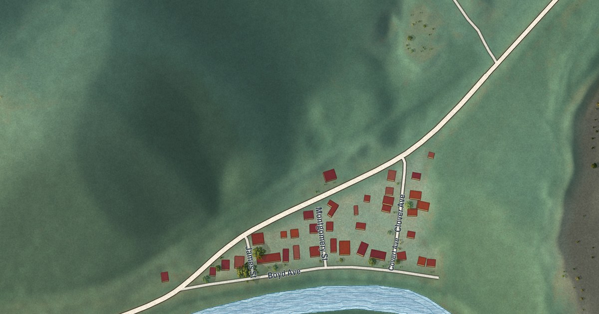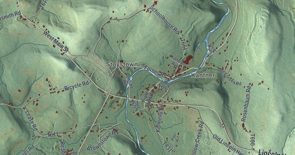
This beautifully detailed map of Quemahoning, Pennsylvania was created in 2026 using aerial imagery combined with modern topographical, census, street and landmark data. It’s a one-of-a-kind view of Quemahoning that combines accurate data with a vintage aesthetic. The map shows every building in its true location, many of the roads carry their names, and the shaded topographic relief shows the shape of the land.
Explore an aerial view of Quemahoning, Pennsylvania
On the map you’ll find Kimmelton, Coleman, Kantner, Mostoller, Ralphton, Reading Number Three, and Stoystown, along with Lincoln Highway, Whistler Road, Stoystown Road, Slagle Hill Road, Hooversville Road, and more. If you look closely you can even find your house accurately drawn in its correct location. Zoom in on the preview to look for yours.
Take a closer look at the Quemahoning map
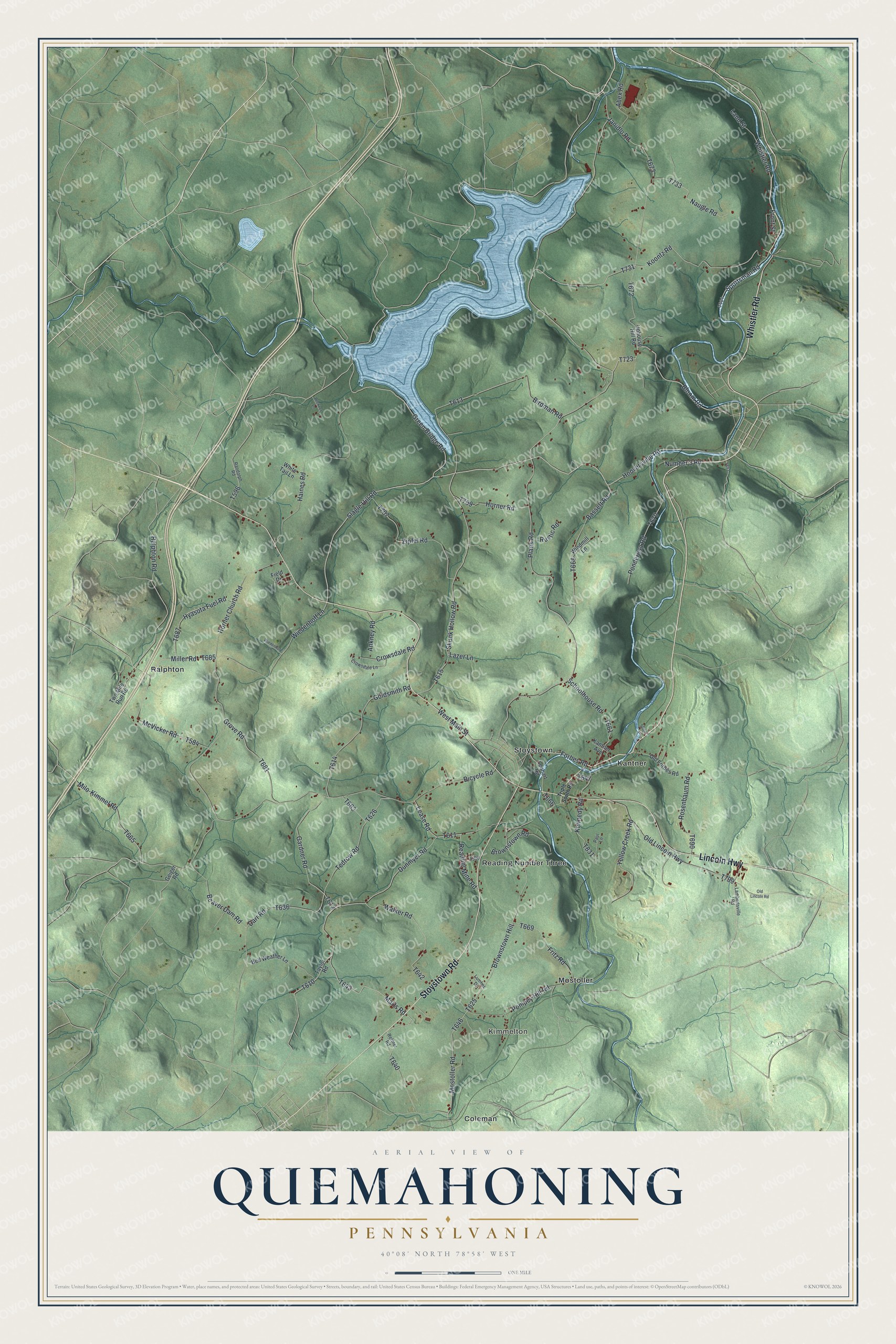
Street and place names on the Quemahoning, Pennsylvania map
These names are printed on the map of Quemahoning, Pennsylvania.
Places: Kimmelton, Coleman, Kantner, Mostoller, Ralphton, Reading Number Three and Stoystown.
Streets and roads: Lincoln Highway, Whistler Road, Stoystown Road, Slagle Hill Road, Hooversville Road, Ralphton Road, Forbes Road, Bloom Road, Miller Road, Wiedenhoff Lane, Marts Road, Janidlo Road.
More street names, A to Z
Abex Road, Ankney Road, Bassett Road, Beaver Dam Road, Beckner Lane, Bell Weather Lane, Bicycle Road, Birdman Road, Brownstown Hill, Brownstown Road, Crowsdale Lane, Crowsdale Road, Darr Road, Dunmyer Road, Field Drive, Fritz Road, Front Street, Gardner Road, Geiger Road, Goldsmith Road, Green Bridge Road, Grove Road, Haines Road, Horner Church Road, Horner Road, Hyasota Fuel Road, Kantner Avenue, Kennedy Road, Koontz Road, Lambertsville Road, Land Street, Lazer Lane, Lease Road, Lenhart Road, Lumber Drive, McVicker Road, Milo-Kimmel Road, Mostoller Road, Naugle Road, Number 3 Road, Old Forbes Road, Old Lincoln Highway, Old Lincoln Road, Paul Lane, Plank Road, Pompey Hill Road, Ponderosa Road, Randolph Road, Reading Mine Road, Reffner Road, Rosenbaum Road, Rustic Road, Schoolhouse Road, Skunk Hollow Road, Sportsman Road, Station Lane, Taylor Road, Tedrow Road, Triple South Road, Two Mile Run Road, Uphouse Hill Road, Walker Road, West Main Street, White Tail Lane, Wiedenhoft Lane, Windmill Lane, Yellow Creek Road, Zipfel Road.
See the Quemahoning, Pennsylvania map on a wall
The Quemahoning map as an 18 x 24 inch print in a black frame.

This beautifully detailed map of Quemahoning makes an attractive addition to your office, library, or den, and it can even be used to teach children the geography and history of the area. It also makes a great gift for anyone with Quemahoning roots. When you’re done exploring, click here to get your copy of the Quemahoning map.