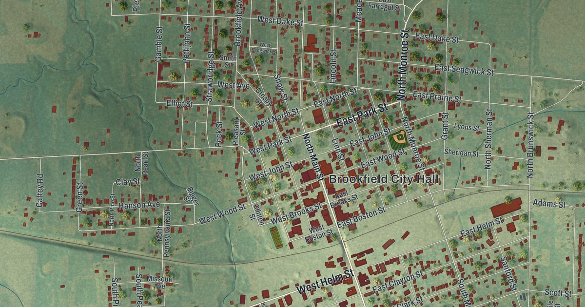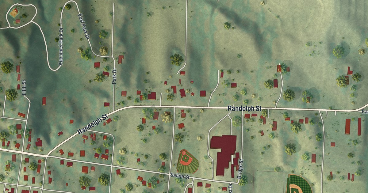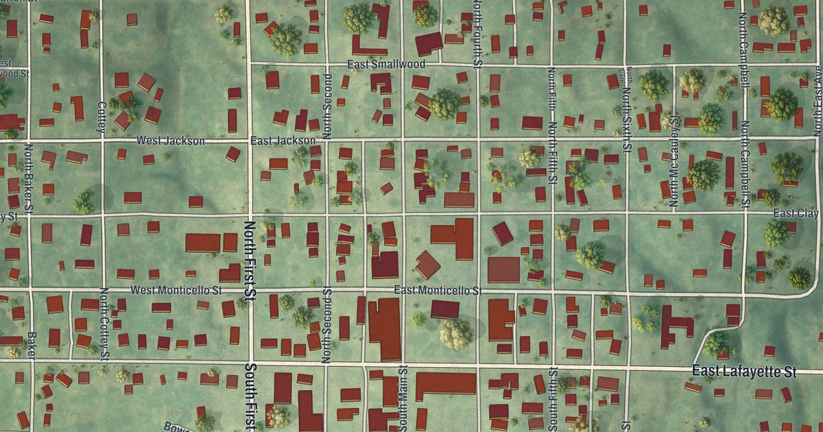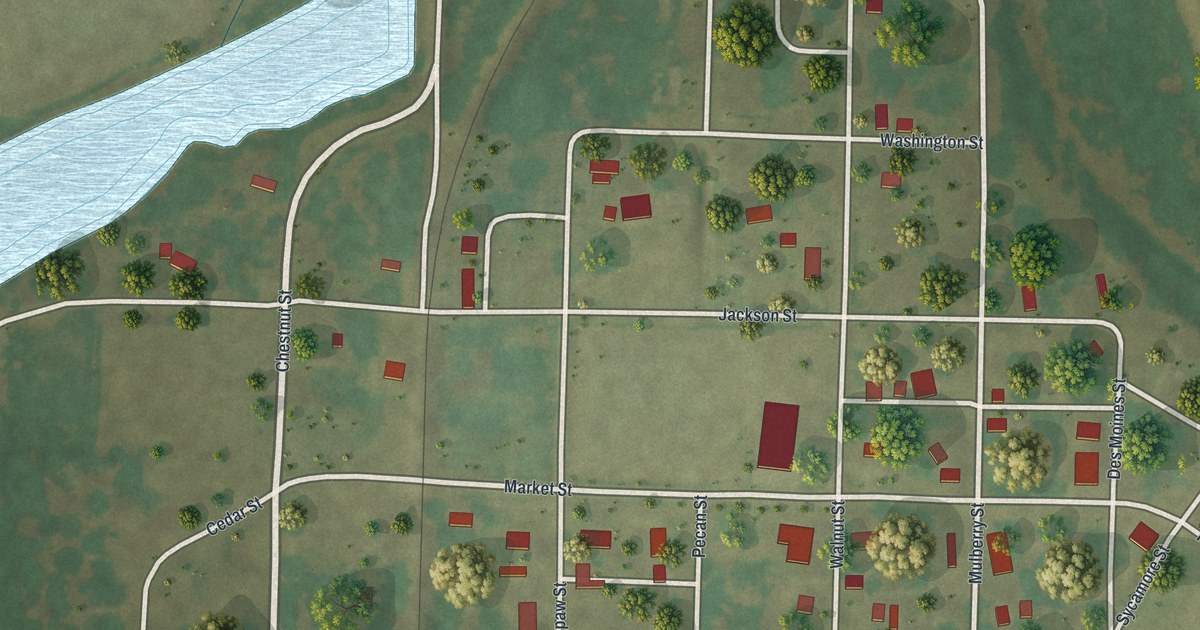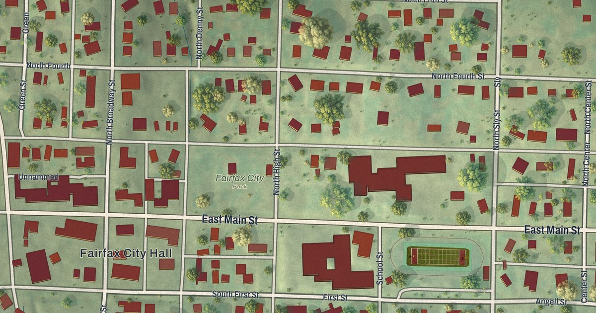
If you grew up in Fairfax, went to school here, or have family who still lives off Main Street, this map has your town on it. It's a modern aerial view of Fairfax in Atchison County, Missouri, built from modern data and given a vintage look. Nearly 500 buildings are marked in deep red. The town's neat grid sits in the middle of the sheet, with open green farm country all around it. Main Street runs straight across, from one edge to the other.
From Fairfax City Hall along East Main Street
Start at Fairfax City Hall, just below Main Street near the middle of the map. Head east and Main Street becomes East Main Street. On your left is Fairfax City Park. Past the big red buildings, a green playing field with a track sits beside School Street. Keep going east to Sly Street. From there, Angell, Cedar and Pine Streets run off to the east, and Volker Street sits near the bottom. County Road heads south out of town into the fields.
Now go back to City Hall. North Broadway Street runs north from Main Street on its west side. Follow it up past North Fourth Street and North Fifth Street to Sixth Street, along the top of town. Go the other way, south of Main, and the streets cross in order: South First Street, South Street, South Third Street and South Fourth Street. Denny Street runs north and south through the middle. Many of the roads are labeled, and each red shape is a building, so zoom in on the preview and look for yours.
How Fairfax grew out of a cornfield in 1881
Fairfax was laid out in April 1881, says a 1905 history of Atchison County. It grew fast. In February 1882, the town paper, the Fairfax Independent, looked back on how far it had come. "Only nine short months have come and gone," it said, since a field of corn stood where the village was. That line was printed in an 1882 history of Holt and Atchison Counties. The same book tells of a druggist named Denny. Denny bought the first business lot offered for sale in Fairfax, put up a store building and went into the drug business.
By 1905, the county history counted two banks, six general stores, a newspaper, a grain elevator and two blacksmith shops. The town sat on the Tarkio Valley railway. Fields like the green ones on every side of the grid once covered the ground under Main Street. Denny Street runs north and south just east of Fairfax City Hall. The old histories don't say if it was named for that first druggist.
For anyone who knows Main Street and Denny Street
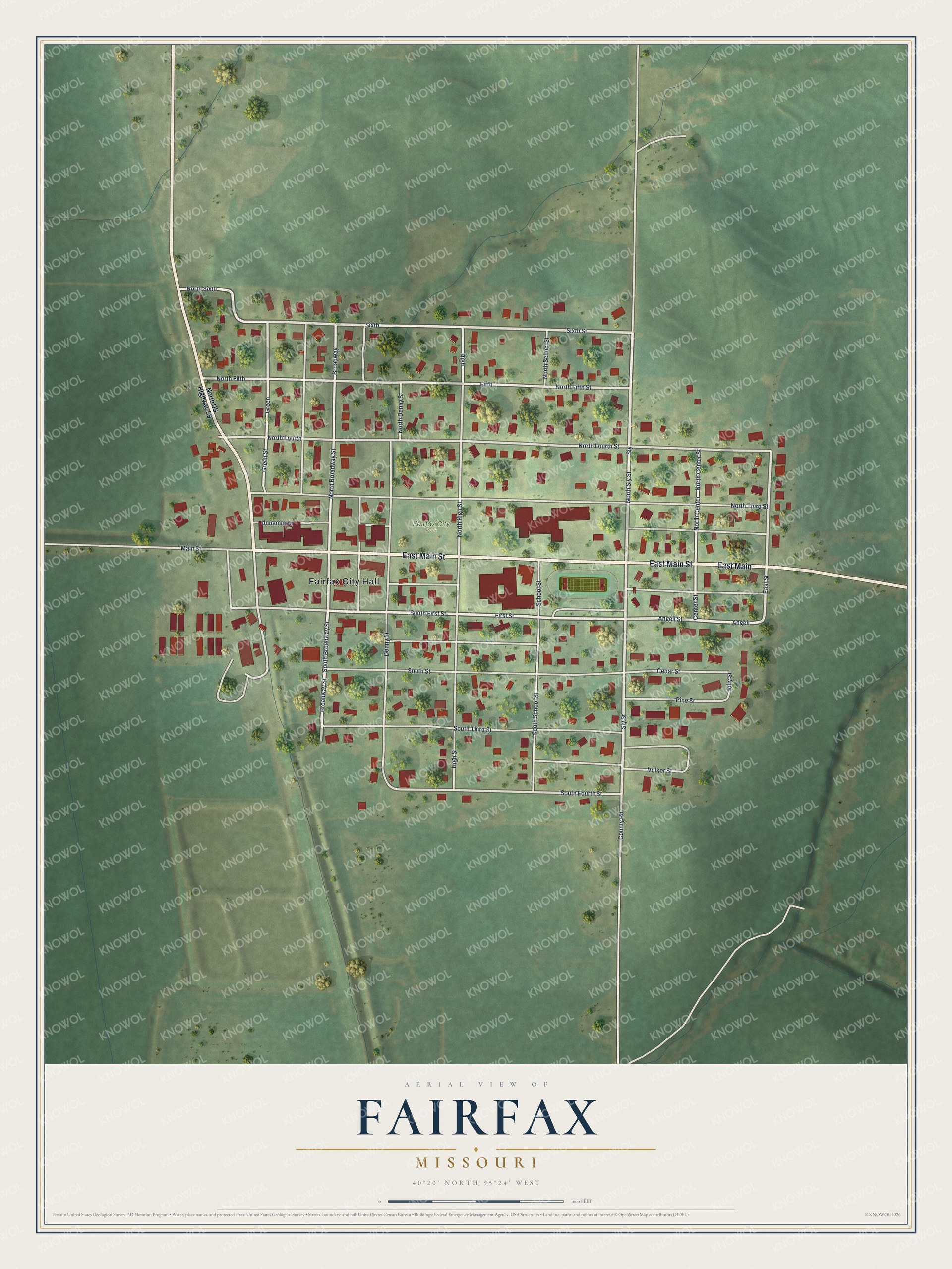
Created by KNOWOL in 2026, this Fairfax map suits a kitchen, a den or an office. The hills are shaded from USGS elevation data, and each building is marked in deep red. The title panel reads "Aerial View of Fairfax, Missouri," with the coordinates 40°20' North, 95°24' West and a scale bar in feet.
It's a thoughtful gift for someone who grew up near Fairfax City Park, still has family in town, or moved away from Atchison County. Open the preview, zoom in and find a street you know. See sizes and frames for the Fairfax map.