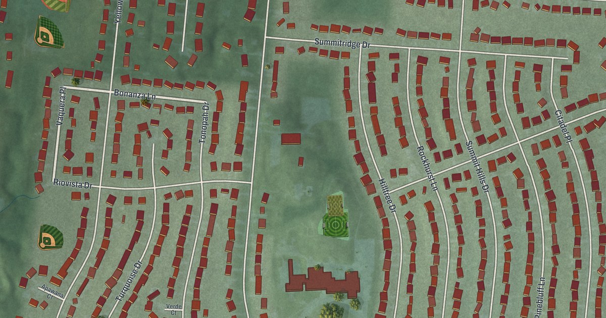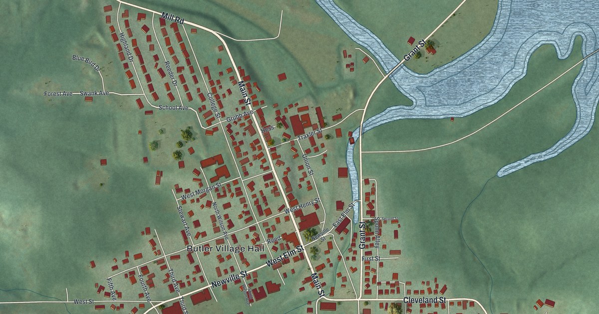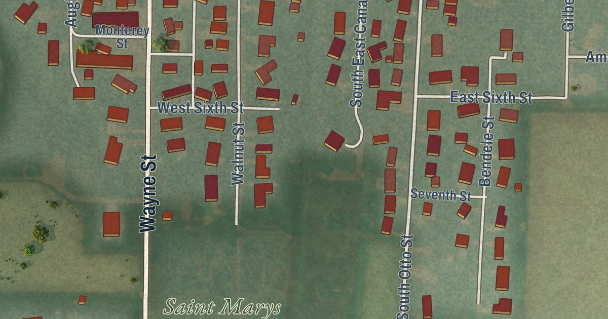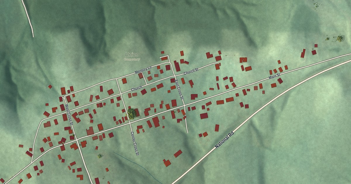
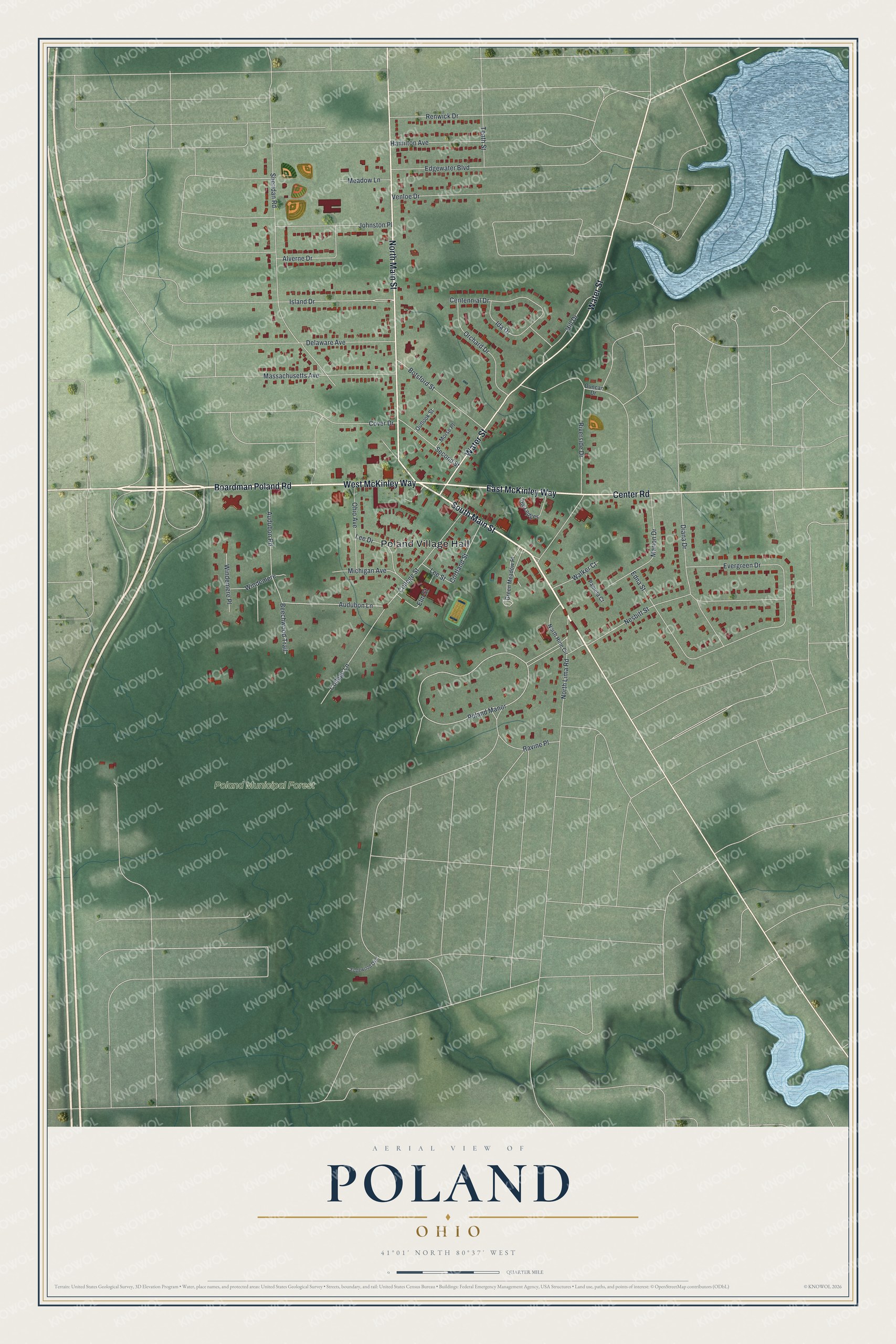
This beautifully detailed map of Poland, Ohio was created in 2026 using aerial imagery combined with modern topographical, census, street and landmark data. It’s a one-of-a-kind view of Poland that combines accurate data with a vintage aesthetic. The map shows every building in its true location, many of the roads carry their names, and the shaded topographic relief shows the shape of the land.
Explore an aerial view of Poland, Ohio
On the map you’ll find Poland Village Hall, Poland Municipal Forest, and Poland Manor, along with Boardman Poland Road, West McKinley Way, South Main Street, East McKinley Way, North Main Street, Water Street, Center Road, Audubon Lane, Sheridan Road, and more. If you look closely you can even find your house accurately drawn in its correct location. Zoom in on the preview to look for yours.
Did you know this piece of Poland, Ohio history?
The village’s seminary began as a private secondary school named Poland Academy. It became a liberal arts college in 1849. William McKinley, the 25th President, was among its graduates. Journalist Ida Tarbell once taught there. Its main building is now part of Poland Middle School.
Take a closer look at the Poland map
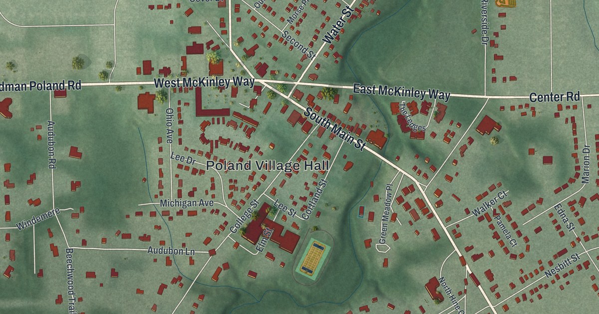
Street and place names on the Poland, Ohio map
These names are printed on the map of Poland, Ohio.
Places: Poland Village Hall and Poland Municipal Forest.
Streets and roads: Boardman Poland Road, West McKinley Way, South Main Street, East McKinley Way, North Main Street, Water Street, Center Road, Audubon Lane, Poland Manor, Sheridan Road, Riverside Drive, Nesbitt Street.
More street names, A to Z
Alverne Drive, Audubon Road, Beechwood Trail, Botsford Street, Centennial Drive, College Lane, College Street, Cortland Street, Cover Drive, Delaware Avenue, Diana Drive, Duncan Drive, Edgewater Boulevard, Edgewood Oval, Edna Street, Elm Street, Evergreen Drive, Green Meadow Place, Hamilton Avenue, Hill Drive, Ida Drive, Island Drive, Johnston Place, Lee Drive, Lee Street, Marion Drive, Massachusetts Avenue, Meadow Lane, Michigan Avenue, Morse Place, North Hine Circle, North Lima Road, Ohio Avenue, Orchard Drive, Outlook Street, Pamela Court, Ravine Place, Renwick Drive, Second Street, Tenth Street, The Ledges, Venloe Drive, Walker Court, Windemere, Windemere Place.
See the Poland, Ohio map on a wall
The Poland map as an 18 x 24 inch print in a black frame.

This beautifully detailed map of Poland makes an attractive addition to your office, library, or den, and it can even be used to teach children the geography and history of the area. It also makes a great gift for anyone who grew up in Poland or moved away. When you’re done exploring, click here to get your copy of the Poland map.