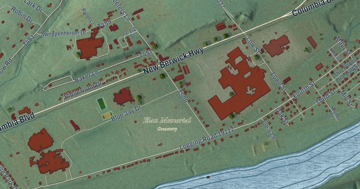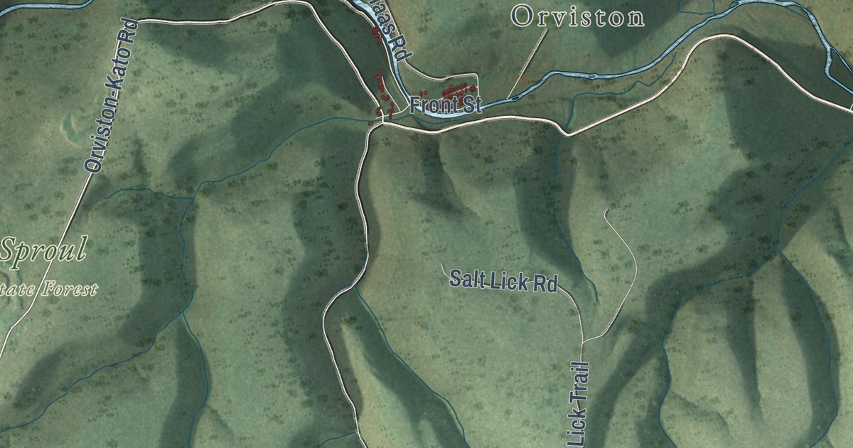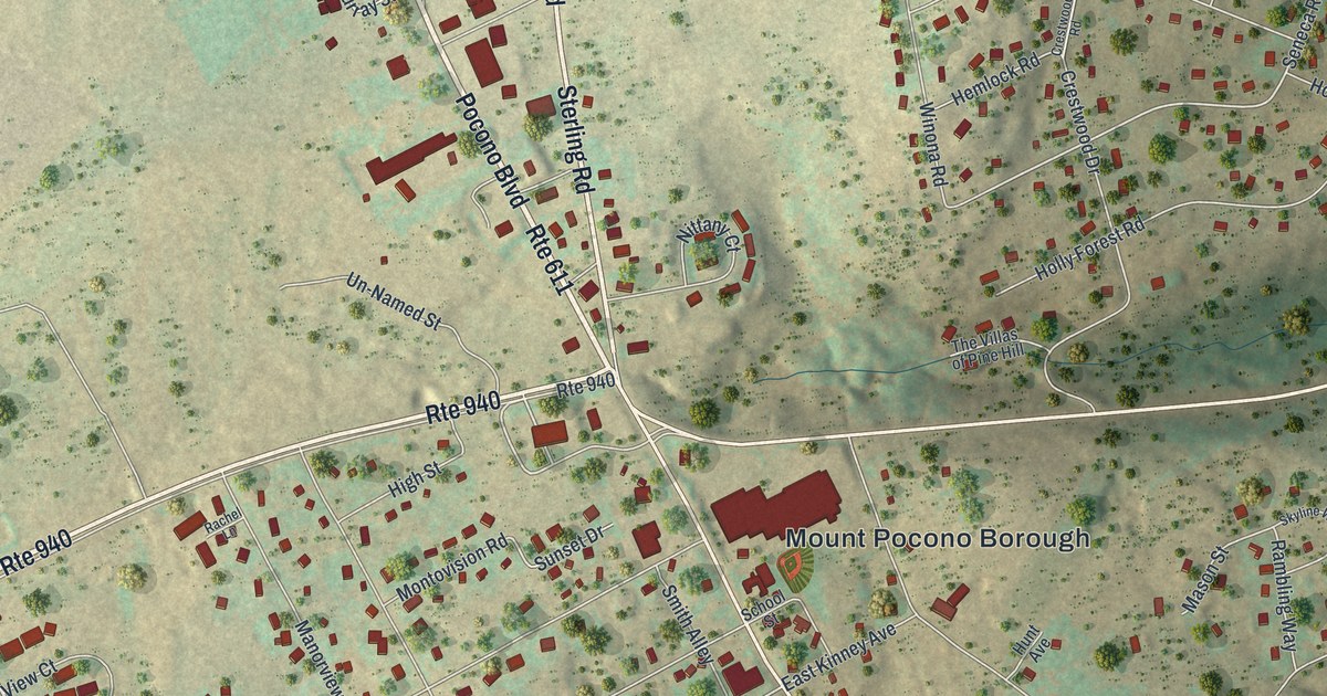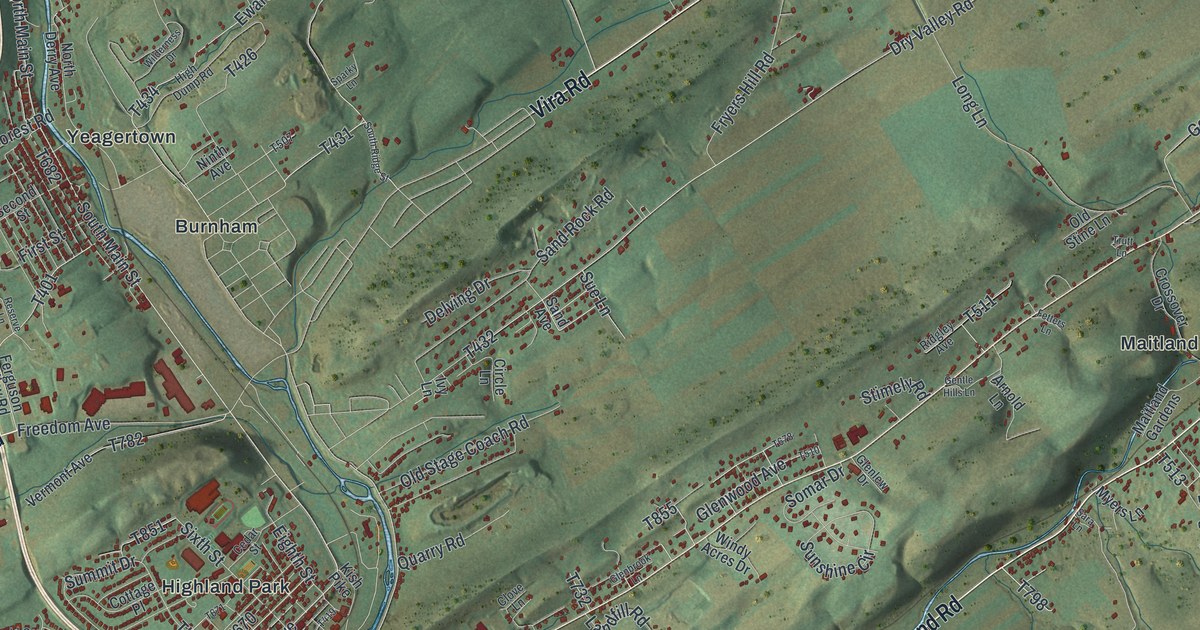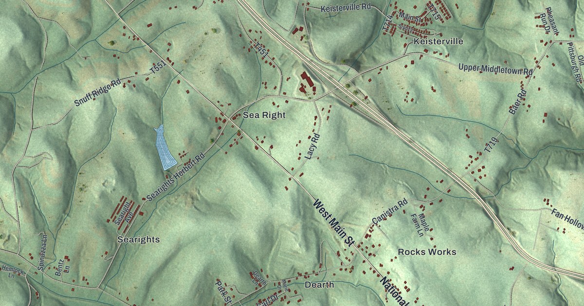
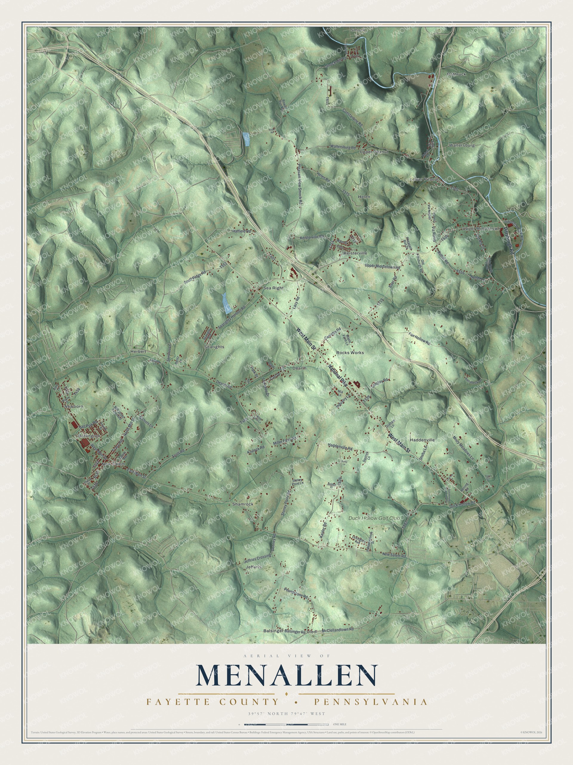
This beautifully detailed map of Menallen, Fayette County, Pennsylvania was created in 2026 using aerial imagery combined with modern topographical, census, street and landmark data. It’s a one-of-a-kind view of Menallen that combines accurate data with a vintage aesthetic. The map shows every building in its true location, many of the roads carry their names, and the shaded topographic relief shows the shape of the land.
Explore an aerial view of Menallen, Fayette County, Pennsylvania
On the map you’ll find Smock, Balsinger, Buffington, Dearth, Haddenville, Helen, Herbert, Jefferis, Keisterville, Lower Peanut, New Salem, Newboro, and more. If you look closely you can even find your house accurately drawn in its correct location. Zoom in on the preview to look for yours.
Take a closer look at the Menallen, Fayette County map
Street and place names on the Menallen, Fayette County, Pennsylvania map
These names are printed on the map of Menallen, Fayette County, Pennsylvania.
Places: Smock, Balsinger, Buffington, Dearth, Haddenville, Helen, Herbert, Jefferis, Keisterville, Lower Peanut, New Salem, Newboro, Rocks Works, Rothruck, Sea Right, Searights, Shamrock, Uledi, Upper Middletown, Upper Peanut, Waltersburg and Duck Hollow Golf Club.
Streets and roads: West Main Street, National Pike, Pittsburgh Road, New Salem Road, Upper Middletown Road, Searights Herbert Road, Scott Road, East Main Street, Miller Farm Road, Old Route 51, Baer Road, North Mill Street.
More street names, A to Z
Ball Park Road, Balsinger Road, Bentz Lane, Canistra Road, Carl Drive, Church Street, Coffman Lane, Constantine Road, Dearth Lane, Dearth Road, Denney Road, Duck Hollow Road, Duck Hollow Road Extended, Fan Hollow Road, First Street, Florence Drive, Fourth Street, Golden Drive, Graham Lane, Haddenville Road, Hanabeck Lane, Hatfield Road, Helen Road, Hemlock Lane, Herring Road, Independence Street, Industrial Park Road, Industry Lane, Jeffries Crossing, Kaider Road, Keisterville Road, Krulock Road, Kuritz Lane, Lacy Road, Langley Road, Lexington Avenue, Main Street, Maple Farm Lane, Marie Drive, McClellandtown Road, Mia Lane, Miller Farm Lane, Mill Street Extended, Misty Meadows Lane, Nark Lane, Nichols Lane, Olde Route 51 Road, Old Pittsburgh Road, Park Street, Pheasant Run Drive, Pine Lane, Pleasant View Smock Road, Poundstone Road, Rahall Road, Rowes Run Road, Royal Road, Rutter Lane, Rutter Road, Salem Avenue, Searight Avenue, Sheba Lane, Smock Hill Road, Snuff Ridge Road, Spinuzza Lane, Squirek Lane, Sr4012, Sr4016, Stoney Point Lane, Stoney Point Road, Tera Circle, Tracy Hill, Via Naples, Via Roma, Via Venice, Waltersburg Road, Wayne Street.
See the Menallen, Fayette County, Pennsylvania map on a wall
The Menallen, Fayette County map as an 18 x 24 inch print in a black frame.

This beautifully detailed map of Menallen, Fayette County makes an attractive addition to your office, library, or den, and it can even be used to teach children the geography and history of the area. It also makes a great gift for someone who left Menallen and still calls it home. When you’re done exploring, click here to get your copy of the Menallen, Fayette County map.