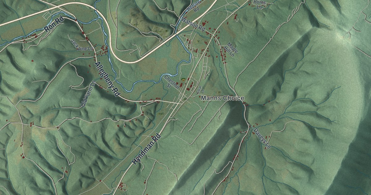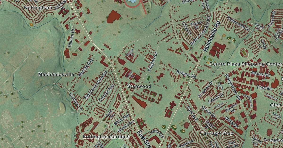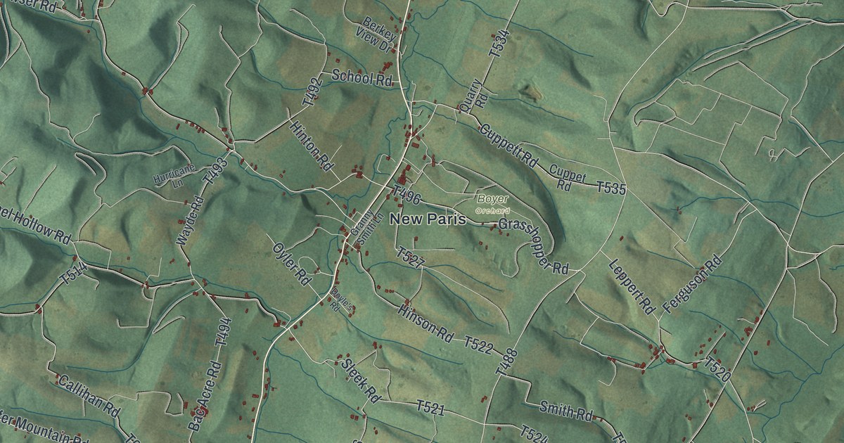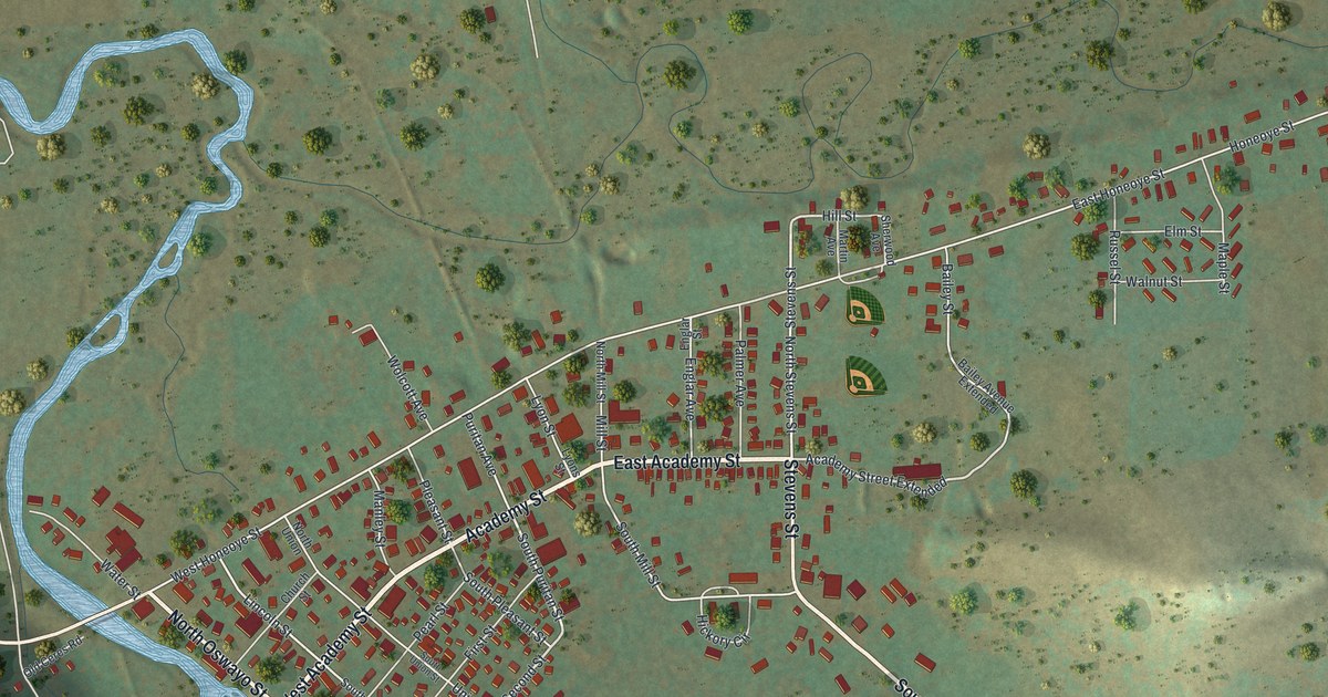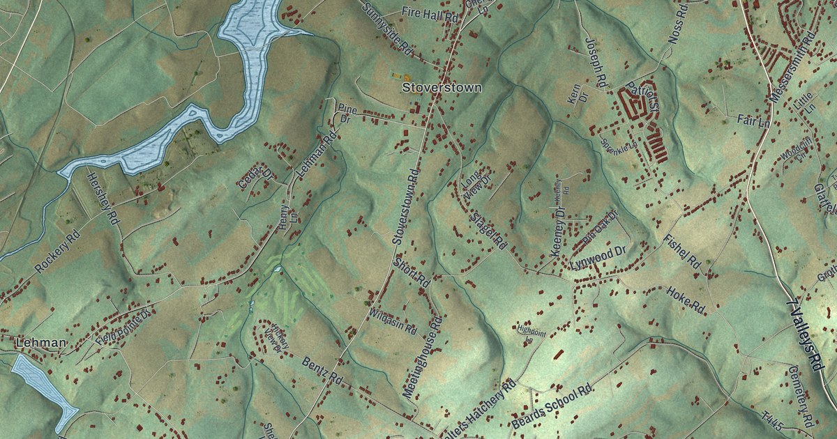
If you grew up in North Codorus Township, or you still have family near Stoverstown or Hanover Junction, this map gives you a lot to find. It's a modern aerial view of North Codorus Township in York County, Pennsylvania, made from modern data with soft, vintage colors. Green hills roll across the whole sheet, and buildings are marked in red along the country roads. A long blue lake winds across the top. Hanover Junction sits on the right side, beside a thin, winding creek.
Hanover Junction, Green Valley Road and Stoverstown
In the middle of the sheet, Stoverstown sits along Stoverstown Road. To the west, near Ambau and Lehman, York Road and Lehman Road cross the map. To the south, Green Valley Road and Hoff Road run past Cold Spring and Strickhousers, and Krafts Mill Road passes Kraft Mill in the bottom-left corner. On the right side of the sheet, Seven Valleys Road passes Hanover Junction, and Glatfelters Station Road passes Glatfelters. Each red shape is a building, so zoom in on the preview and look for yours.
Hanover Junction, where Lincoln changed trains in 1863
The state historical marker on Seven Valleys Road records what happened at Hanover Junction in 1863. Wounded soldiers came from the Gettysburg battlefield and went on to distant hospitals. The Junction was a chief point on the military telegraph line. On November 18, a special train carrying Abraham Lincoln to Gettysburg for the National Cemetery dedication changed railroads here. The Hanover Junction Railroad Station is listed on the National Register. Find Hanover Junction on the map where Junction Road meets Seven Valleys Road.
A state marker on Hoff Road, which passes Strickhousers, tells the iron-mining story. The mine at the marker site opened in 1854, the year iron ore was first found nearby. At the industry's height, 15 mines operated here, bringing hundreds of skilled miners from England and Wales. Rising prices and cheaper iron elsewhere closed the mines by 1888.
For anyone who grew up along Seven Valleys Road
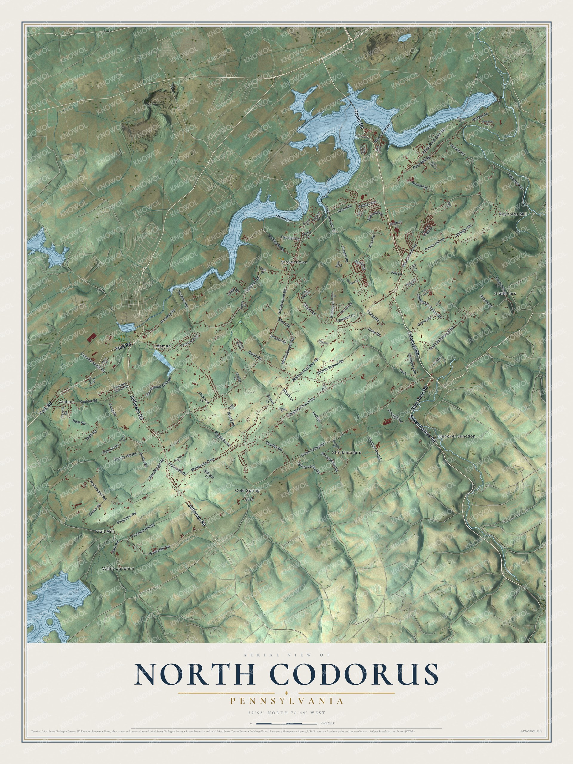
Created by KNOWOL in 2026, this aerial map shows North Codorus Township with shaded green hills, blue water and small red buildings. The title panel reads "Aerial View of North Codorus, Pennsylvania," with the coordinates 39°52' North, 76°49' West and a one-mile scale bar.
It fits a farmhouse kitchen, a den or a home office. It's a good gift for someone who grew up near Hanover Junction, or for family who moved away from Stoverstown. Open the preview, find Seven Valleys Road and follow it to your own road. See sizes and frames for the North Codorus map.