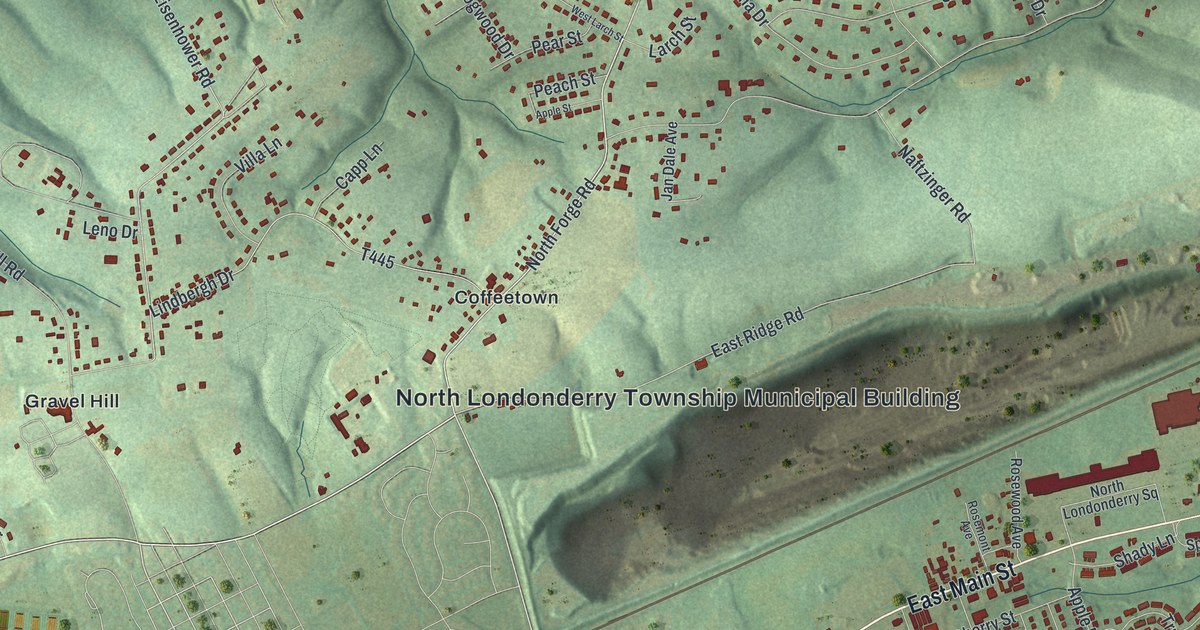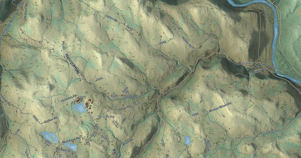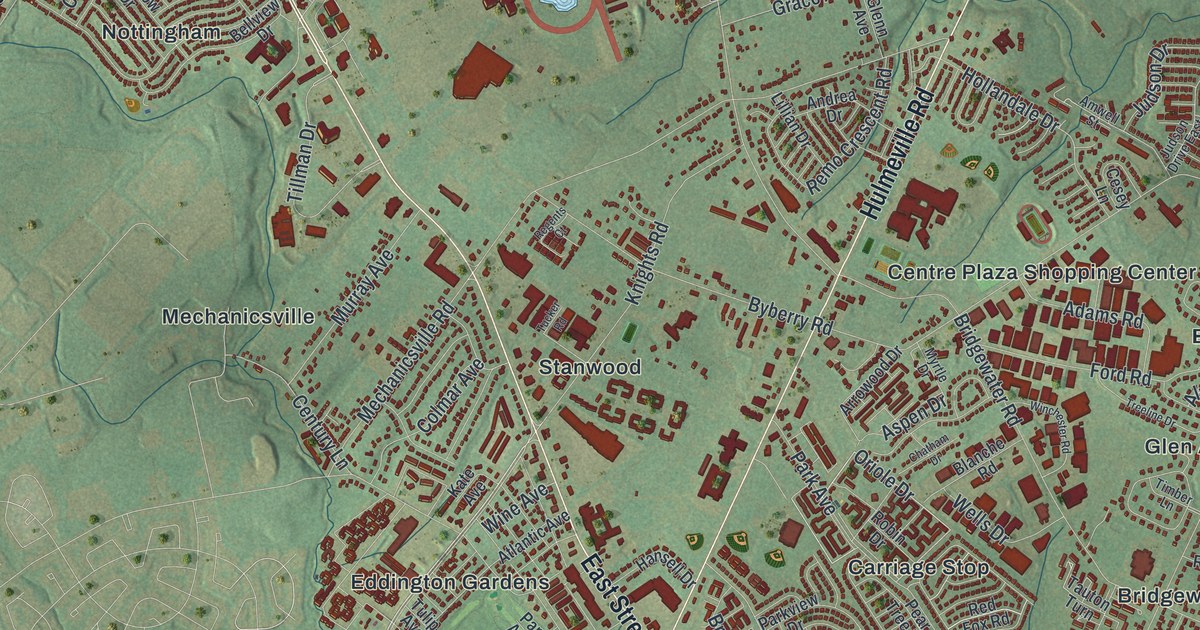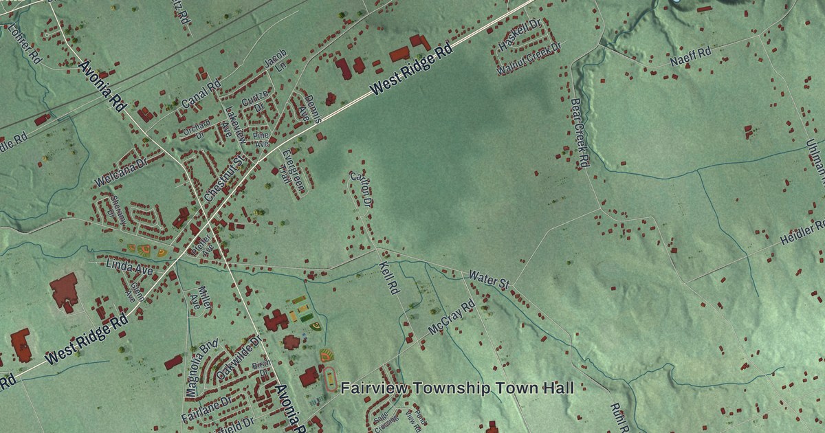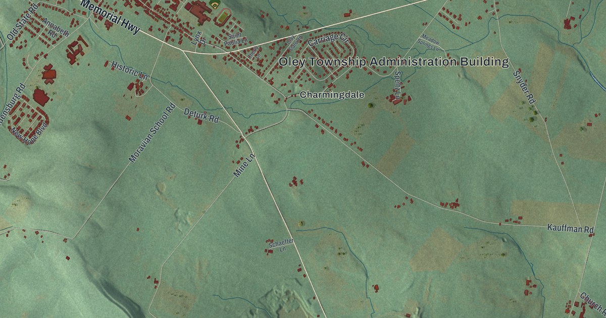
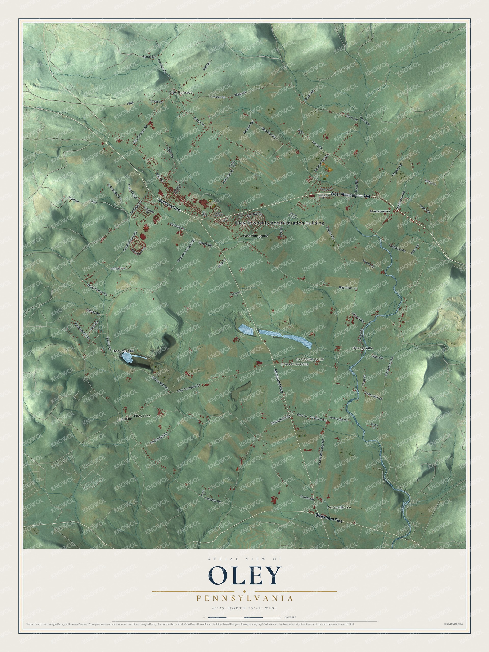
This beautifully detailed map of Oley, Pennsylvania was created in 2026 using aerial imagery combined with modern topographical, census, street and landmark data. It’s a one-of-a-kind view of Oley that combines accurate data with a vintage aesthetic. The map shows every building in its true location, many of the roads carry their names, and the shaded topographic relief shows the shape of the land.
Explore an aerial view of Oley, Pennsylvania
On the map you’ll find Oley Township Administration Building, Oley Furnace, Beavers Mill, Charmingdale, Greisemersville, Griesemersville, Limekiln, Manatawny, Oley Line, Spangsville, and Yellow House, along with Memorial Highway, and more. If you look closely you can even find your house accurately drawn in its correct location. Zoom in on the preview to look for yours.
Did you know this piece of Oley, Pennsylvania history?
Oley is one of the villages of Oley Township in Berks County. The township was formed in 1740 as part of Philadelphia County. In 1983 the whole township was listed as a historic district on the National Register. Frontiersman Daniel Boone was born in the township on November 2, 1734.
Take a closer look at the Oley map
Street and place names on the Oley, Pennsylvania map
These names are printed on the map of Oley, Pennsylvania.
Places: Oley Township Administration Building, Oley Furnace, Beavers Mill, Charmingdale, Greisemersville, Griesemersville, Limekiln, Manatawny, Oley Line, Spangsville and Yellow House.
Streets and roads: Memorial Highway, West Philadelphia Avenue, Boyertown Pike, Hoch Road, Oysterdale Road, Furnace Road, Oley Furnace Road, Covered Bridge Road, Limekiln Road, Bertolet Mill Road, Hunter Road, Oley Turnpike Road.
More street names, A to Z
Annabeth Road, Bare Road, Bieber Mill Road, Blacksmith Road, Bortz Road, Boyer Road, Brewer Lane, Carriage Circle, Cassel Road, Cherry Lane, Church Road, Circle Drive, Clay Slate Road, Cleaver Road, Creeks Edge Road, Deturk Road, Drees Lane, Fisher Mill Road, Foxglove Lane, Friedensburg Road, Haas Road, Hafer Road, Heffner Lane, Herbein Road, Historic Lane, Houp Road, Jefferson Street, Kauffman Road, Kulp Road, Lake Road, Lynx Drive, Main Street, Manatawny Road, Meadowlark Road, Meadow Springs Lane, Meeting House Lane, Middlecreek Drive, Miller Lane, Mill Road, Mine Lane, Moravian School Road, Mud Run Road, New Hope Boulevard, Oak Lane, Old State Road, Pines Way, Quarry Road, Reider Road, Reiff Road, Reifsnyder Road, Rhoads Road, Rubie Lane, Saint Paulia Lane, Schaeffer Lane, Schmucker Lane, Snyder Road, Southfield Drive, Spangsville Road, Speltz Lane, Spook Lane, Stitzer Road, T-567, Tollhouse Road, Trails End Lane, Walker Road, Water Street, Wiest School Road, Yoder Road.
See the Oley, Pennsylvania map on a wall
The Oley map as an 18 x 24 inch print in a black frame.

This beautifully detailed map of Oley makes an attractive addition to your office, library, or den, and it can even be used to teach children the geography and history of the area. It also makes a great gift for anyone with Oley roots. When you’re done exploring, click here to get your copy of the Oley map.