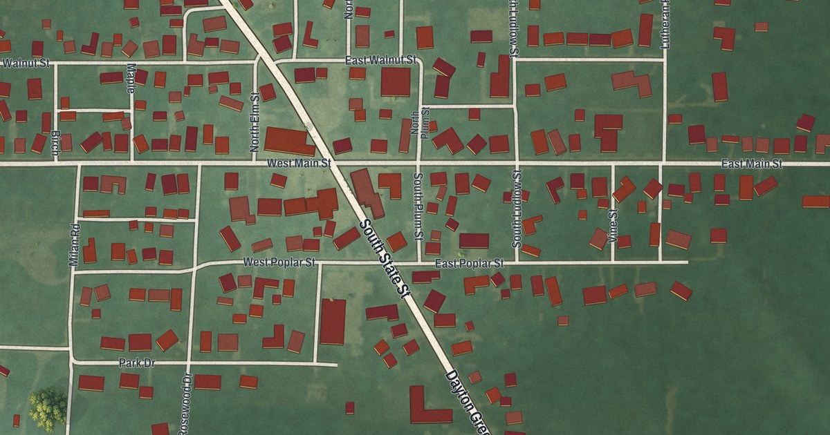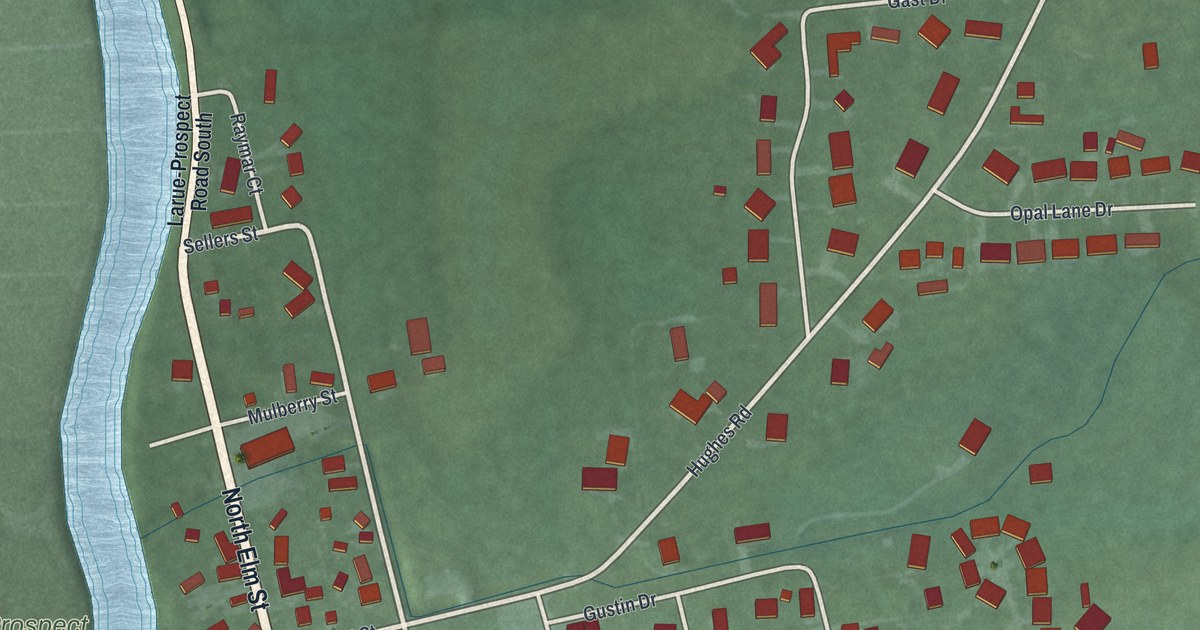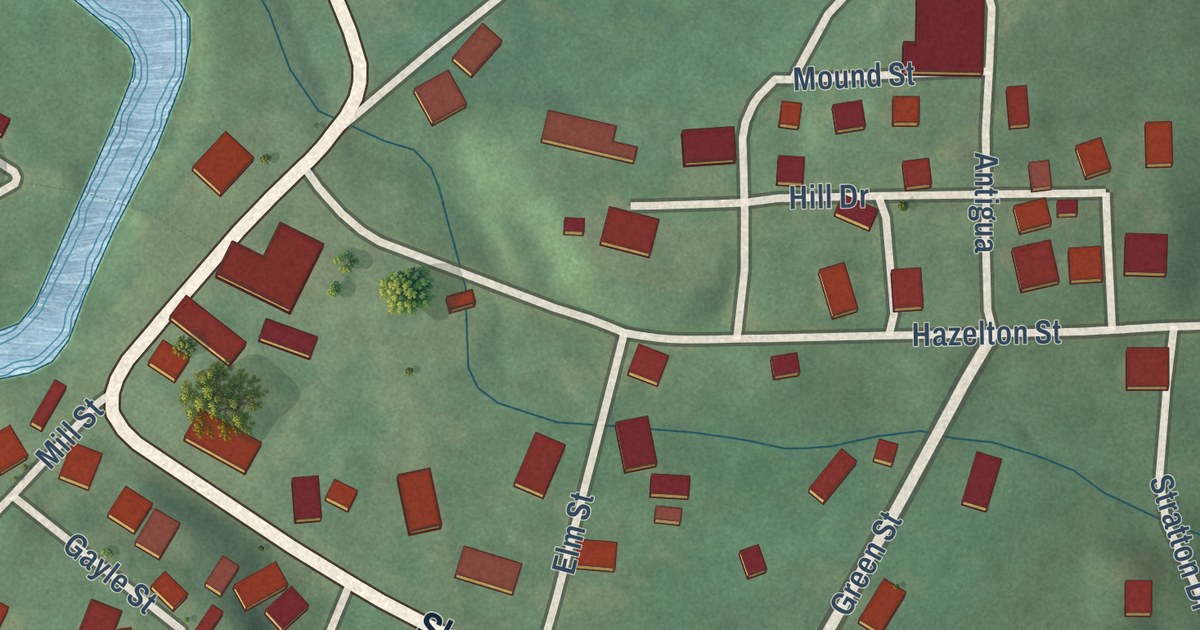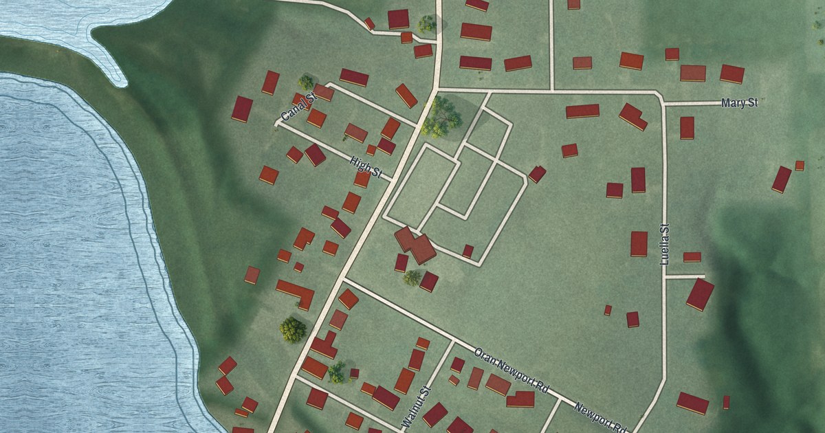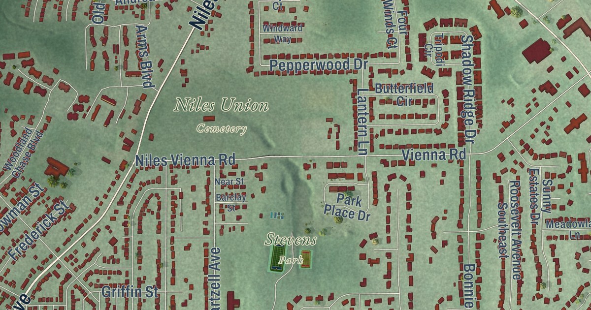
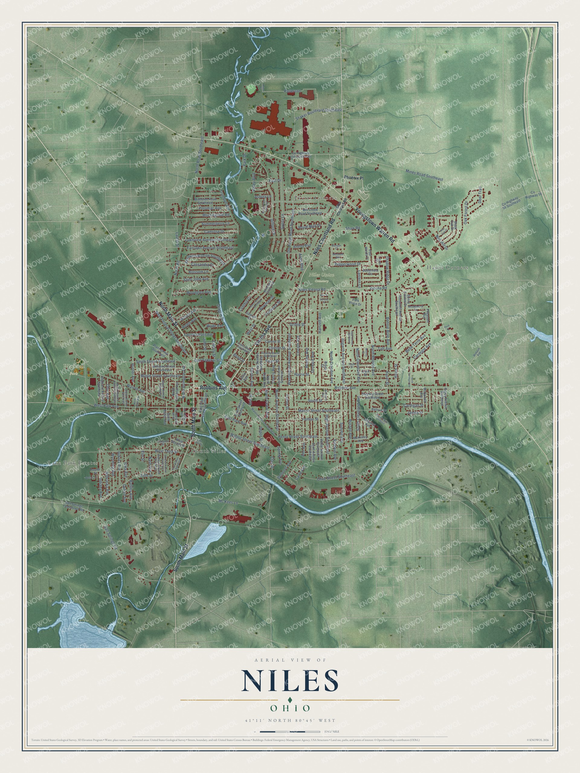
This beautifully detailed map of Niles, Ohio was created in 2026 using aerial imagery combined with modern topographical, census, street and landmark data. It’s a one-of-a-kind view of Niles that combines accurate data with a vintage aesthetic. The map shows every building in its true location, many of the roads carry their names, and the shaded topographic relief shows the shape of the land.
Explore an aerial view of Niles, Ohio
On the map you’ll find Niles Union Cemetery, Stevens Park, Waddell Park, Ekerts Corners, Hakes Corners, Lake Park Estates, and South Niles, along with North Main Street, Niles Courtland Road, Vienna Avenue, Robbins Avenue, South Main Street, and more. If you look closely you can even find your house accurately drawn in its correct location. Zoom in on the preview to look for yours.
Did you know this piece of Niles, Ohio history?
William McKinley, the 25th president, was born in Niles on January 29, 1843. He attended the local high school. After his assassination in 1901, his boyhood friend, the industrialist Joseph Butler, campaigned for a memorial. The National McKinley Birthplace Memorial now houses the town library and a small museum.
Take a closer look at the Niles map
Street and place names on the Niles, Ohio map
These names are printed on the map of Niles, Ohio.
Places: Niles Union Cemetery, Stevens Park, Waddell Park, Lake Park Estates, Ekerts Corners, South Niles and Hakes Corners.
Streets and roads: Vienna Avenue, Robbins Avenue, North Main Street, Youngstown Warren Road, South Main Street, Niles Courtland Road, Patterson, Wood Avenue Southeast, Hazel Street, West Park Avenue, West Federal Street Southeast, Pepperwood Drive.
More street names, A to Z
Ambrose Avenue, Andrea Boulevard, Ann Avenue, Arms Boulevard, Asbury Lane, Baldwin Avenue, Banyan Court, Barclay Street, Battles Avenue, Beaver Avenue, Bellair Court, Belle Terre Avenue, Bellvue Drive, Belmont Avenue, Bentley Avenue, Bentwillow Drive Southeast, Black Oak Drive, Blossom Lane, Bond Street, Bonnie Brae Avenue, Bowman Street, Bruce Court, Butterfield Circle, Camrose Drive, Cannon Street, Cardigan Street, Carle Avenue, Carnegie Avenue, Cassandra Drive, Cherry Avenue, Circle Street, Clark Street, Clay Street, Clinton Street, County Highway 56, County Highway 56 Southeast, County Highway 156 Southeast, Cynthia Court, Dakota Avenue, Deer Trail, Depot Street, Difford Drive, Dragon Drive, East Drive, East Federal Street, East First Street, East Park Avenue, East State Street Southeast, East Woodland Avenue, Eliza Avenue Southeast, Elm Street, Erie Street, Evans Street Southeast, Fairlawn Avenue Southeast, Fenton Street, Fifth Street, Fourth Street, Four Winds Court, Frederick Street, Fulton Street, George Street, Griffin Street, Gypsy Lane, Harris Street, Hartzell Avenue, Heiser Place, Helen Avenue, Henry Street Southeast, Hickory Street Southeast, High Avenue Southeast, Highland Avenue Southeast, Higley Avenue Southeast, Hillcrest Avenue, Hiram Street, Hogarth Avenue Southeast, Hunter Avenue, Indiana Avenue, Iowa Avenue, Isaac Avenue Southeast, James Street, John Street, Lafayette Avenue Southeast, Lantern Lane, Laurel Street, Lawnview Avenue Southeast, Leslie Avenue, Liberty Street, Lincoln Avenue, Mahoning Avenue Southeast, Maple Street Southeast, Mason Street Southeast, McDonald Avenue, McEvoy Court, Mc Kees Lane, McKinley Avenue, Meadowlark Lane, Mill Creek Road Southeast, Mines Road Southeast, Mistletoe Road Southeast, Morningside Road, Morris Place Southeast, Morse Avenue Southeast, Nancy Avenue Southeast, Nash Avenue, Near Street, Nebraska Avenue, Niles Cortland Road, Niles Vienna Road, Nob Hill Drive, North Arlington Avenue, North Carnegie Avenue, North Cedar Avenue, North Chestnut Avenue, North Cleveland Avenue, North Crandon Avenue, North Pleasant Avenue Southeast, North Rhodes Avenue, North Road, North Road Southeast, North Union Way, Oak Forest Drive, Ohio Avenue, Old Forge Road Southeast, Olive Street Southeast, Orchard Avenue, Oxford Avenue, Park Drive, Park Place Drive, Pearl Street, Peffer Avenue Southeast, Pheasant Run, Phoenix Place, Pine Oak Court, Plant Street Southeast, Potomac Avenue, Pratt Street Southeast, Prospect Street, Ravine Court Southeast, Roosevelt Avenue Southeast, Royal Mall Drive, Russell Avenue, Saint John Avenue, Salt Springs Road, Salt Springs Younstown Road, Sayers Avenue Southeast, Scott Avenue Southeast, Shadow Ridge Drive, Shaker Boulevard Southeast, Shaw Road, Sherman Avenue Southeast, Smith Street Southeast, South Arlington Avenue, South Butler Avenue, South Cedar Avenue, South Chestnut Avenue, South Cleveland Avenue, South Street, Spring Avenue, Stanton Avenue Southeast, Stepney Street Southeast, Summerberry Lane, Summit Avenue, Sunny Estates Drive, Taft Avenue, Third Street, Tripodi Circle, Trumbull Avenue, Valley Boulevard, Victor Avenue Southeast, Vienna Road, Wabash Avenue, Wade Avenue, Walnut Street Southeast, Warren Avenue, Washington Avenue Southeast, West Second Street, West Street, West Third Street, Williams Street Southeast, Wilson Avenue, Windward Way, Woodglen Avenue, Woodland Chase Boulevard, Wyoming Avenue, Youll Street.
See the Niles, Ohio map on a wall
The Niles map as an 18 x 24 inch print in a black frame.

This beautifully detailed map of Niles makes an attractive addition to your office, library, or den, and it can even be used to teach children the geography and history of the area. It also makes a great gift for someone who left Niles and still calls it home. When you’re done exploring, click here to get your copy of the Niles map.