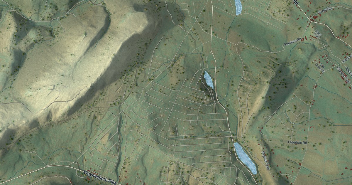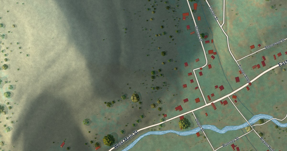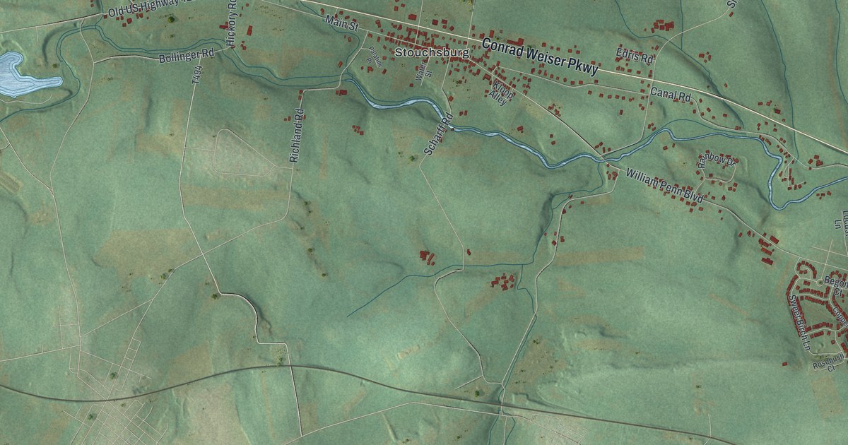
If you grew up in Philadelphia, went to school here, or still have family in Fishtown, Germantown or Frankford, this map puts the whole city on one sheet. It's a modern aerial view of Philadelphia in Philadelphia County, Pennsylvania, made from modern data and given a vintage artistic feel. More than 329,000 buildings are drawn in deep red over soft green hills. A wide blue river runs along the right side, and a smaller one winds up through the middle. The view runs from Chestnut Hill and Byberry at the top down to Eastwick at the bottom.
Broad Street, Kelly Drive and Ridge Avenue
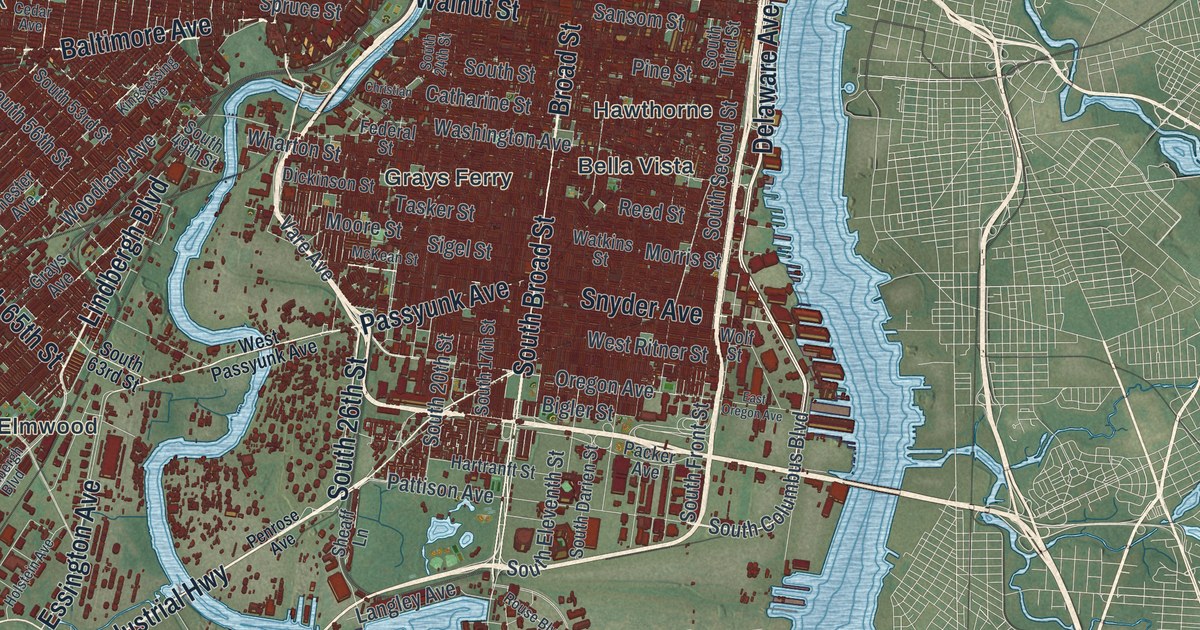
On this map you'll find Broad Street, Market Street, Kelly Drive, Ridge Avenue, Germantown Avenue, Roosevelt Boulevard, Frankford Avenue, Passyunk Avenue, Walnut Street, Spring Garden Street, Delaware Avenue, Fishtown, Germantown, Manayunk, Chestnut Hill, Bella Vista, and more. Each red shape is a building, so zoom in on the preview and look for yours.
The thickest part of the red grid sits where Broad Street crosses Market Street. Kelly Drive runs beside the smaller river through green park land, and it meets Ridge Avenue at East Falls. A state marker calls nearby Fairmount Park one of the largest city parks in the world. Snyder Avenue and Oregon Avenue cross South Broad Street near the bottom of the sheet. Holmesburg is printed in the center right, Byberry in the upper right, and Eastwick is at the bottom left.
Where BINAC passed its tests on Ridge Avenue
In 1946, J. Presper Eckert and John W. Mauchly built ENIAC at the University of Pennsylvania, on 33rd Street just south of Walnut Street. It was the first all-purpose digital computer. The same two men then led the work on the next machines. On April 7, 1949, their BINAC passed its tests at 3747 Ridge Ave. The state historical marker there calls it the world's first commercial, electronic, stored program, digital computer. UNIVAC I came next. A customer accepted UNIVAC I on March 30, 1951. The marker calls it the world's first open-market commercial computer. The marker says these two machines launched the commercial computer age.
The 3700 block of Ridge Avenue sits a little south of where Ridge Avenue meets Kelly Drive, with park land on the river side. ENIAC's home at the University of Pennsylvania is on the other side of the smaller river, where Walnut Street crosses the water.
For anyone from Fishtown to Chestnut Hill
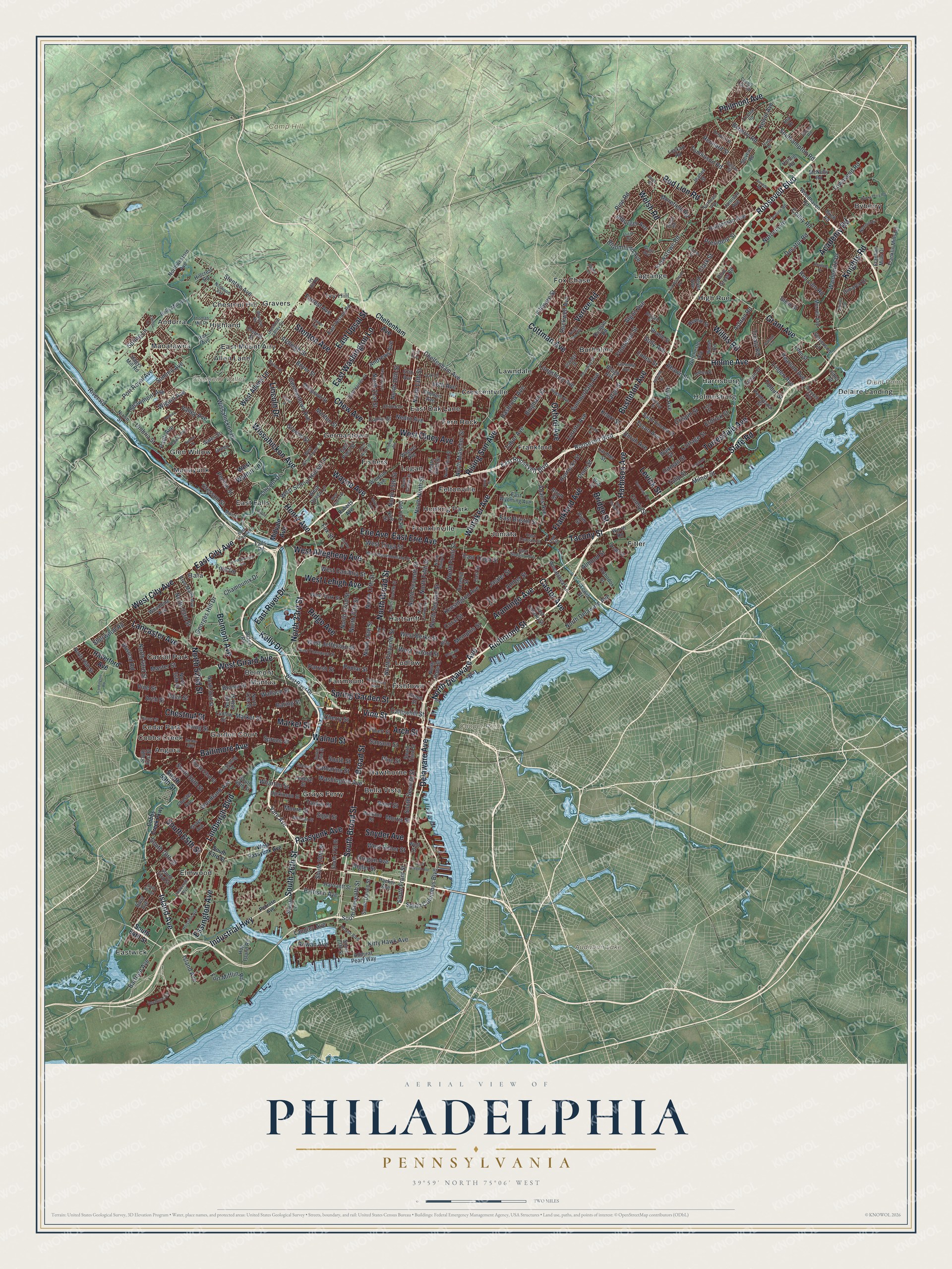
Created by KNOWOL in 2026, this Philadelphia map shades the hills in soft green and draws the buildings in deep red. From across the room, dense red blocks stand out beside the two rivers. Up close, you can follow a single block. The title panel reads "Aerial View of Philadelphia, Pennsylvania" and gives the coordinates 39°59' North, 75°06' West, with a two-mile scale bar.
It suits an office, a kitchen or a living room wall. It's a thoughtful gift for someone who grew up off Frankford Avenue and moved away, or for a grad who still knows Walnut Street by heart. Open the preview, zoom in and trace a road you know. See sizes and frames for the Philadelphia map.