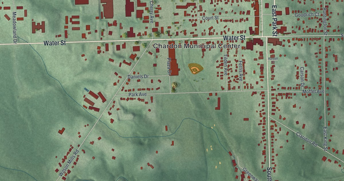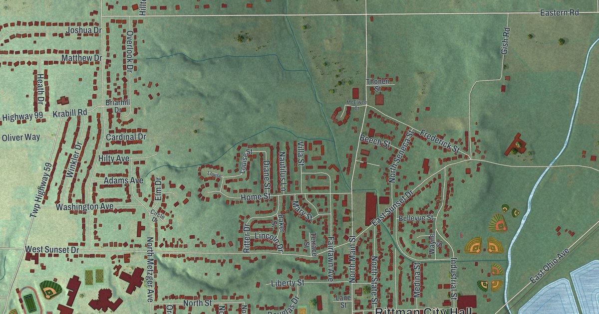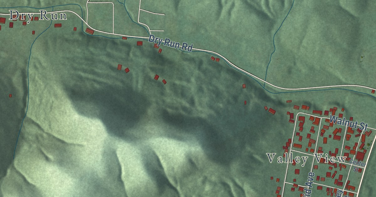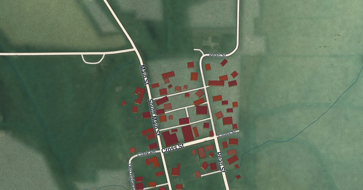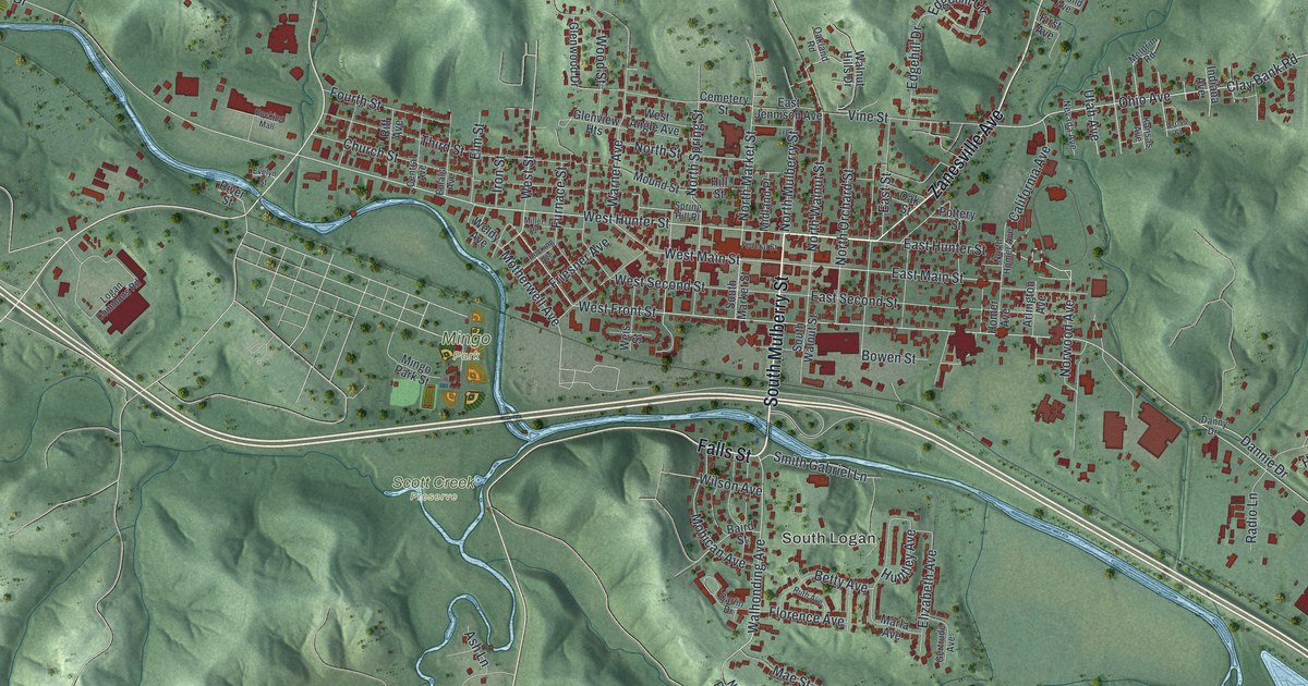
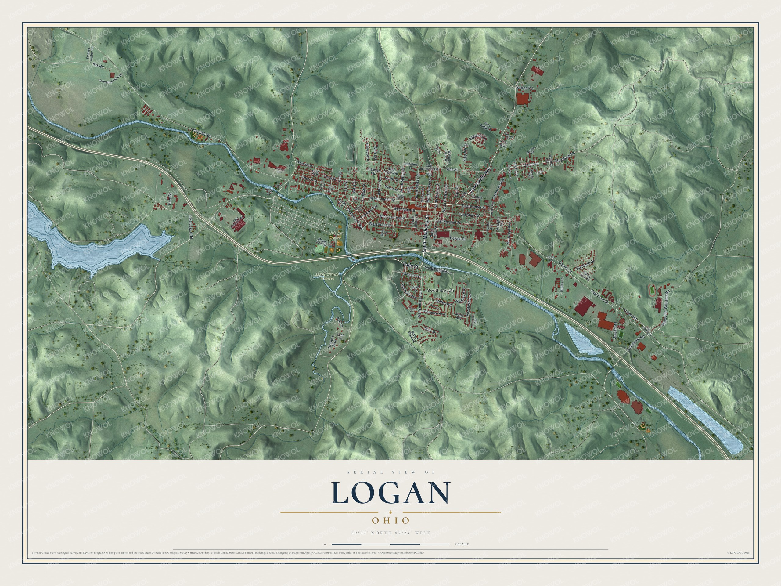
This beautifully detailed map of Logan, Ohio was created in 2026 using aerial imagery combined with modern topographical, census, street and landmark data. It’s a one-of-a-kind view of Logan that combines accurate data with a vintage aesthetic. The map shows every building in its true location, many of the roads carry their names, and the shaded topographic relief shows the shape of the land.
Explore an aerial view of Logan, Ohio
On the map you’ll find South Logan, Mingo Park, and Scott Creek Preserve, along with South Mulberry Street, Zanesville Avenue, Falls Street, West Hunter Street, West Front Street, Norwood Avenue, East Hunter Street, East Front Street, East Main Street, and more. If you look closely you can even find your house accurately drawn in its correct location. Zoom in on the preview to look for yours.
Did you know this piece of Logan, Ohio history?
Residents named the town for Chief Logan of the Mingo people. His band lived nearby when settlers arrived. In 1816, Governor Thomas Worthington of Ohio laid out the village.
Take a closer look at the Logan map
Street and place names on the Logan, Ohio map
These names are printed on the map of Logan, Ohio.
Places: South Logan, Mingo Park and Scott Creek Preserve.
Streets and roads: South Mulberry Street, Zanesville Avenue, Falls Street, West Hunter Street, West Front Street, Norwood Avenue, East Hunter Street, East Front Street, East Main Street, Walhonding Avenue, North Market Street, North Spring Street.
More street names, A to Z
Arlington Avenue, Ash Lane, Baird Street, Betty Avenue, Bowen Street, California Avenue, Carlin Drive, Cemetery Street, Central Avenue, Chieftain Drive, Church Street, Clay Bank Road, Cross Street, Dannie Drive, Danny Drive, East Jennison Avenue, East Second Street, East Street, Edgehill Circle, Edgehill Drive, Elizabeth Avenue, Elm Street, Eulalia Avenue, Evelyn Street, Federal Street, First Avenue, Florence Avenue, Fourth Street, Frasure Helber Road, Friesner Avenue, Furnace Street, Gertrude Avenue, Glenview Heights, Glenwood Drive, Grey Street, Hemlock Parkway, Highland Drive, Hill Street, Hocking Avenue, Hocking Mall, Homer Avenue, Huntley Avenue, Iles Road, Indiana Avenue, Industrial Park Drive, Iron Street, Kansas Avenue, Lake Logan Road, Lilac Lane, Linton Road, Lockheed Road, Logan Commons Road, Mae Street, Marla Avenue, Maysville-Williams Road, Meldrim Road, Midland Place, Miller Place, Mingo Park Street, Mohican Avenue, Motherwell Avenue, Mound Street, Nevada Avenue, Nickel Plate Road, North Homer Avenue, North Mulberry Street, North Orchard Street, North Street, North Walnut Street, Oakland Road, Oak Street, Ohio Avenue, Pine Ridge Drive, Pottery Street, Radio Lane, Riff Avenue, River Street, Ruth Avenue, Second Avenue, Smead Road, Smith Gabriel Lane, South Market Street, South Walnut Street, Spring Hill Place, Sutton Road, Third Street, Twp Highway 31, Utah Avenue, Valley View Drive, Vine Street, Walnut Hills Drive, Warner Avenue, Weis Street, Weldy Avenue, West Angle Avenue, West Main Street, West Second Street, West Street, Wilson Avenue, Wood Street.
See the Logan, Ohio map on a wall
The Logan map as an 18 x 24 inch print in a black frame.

This beautifully detailed map of Logan makes an attractive addition to your office, library, or den, and it can even be used to teach children the geography and history of the area. It also makes a great gift for anyone with Logan roots. When you’re done exploring, click here to get your copy of the Logan map.