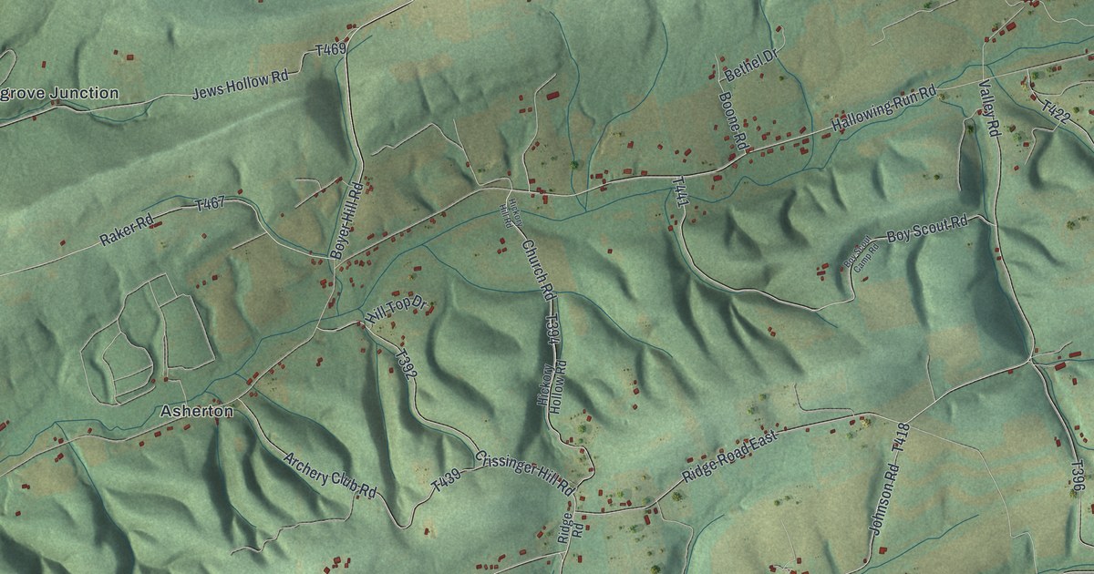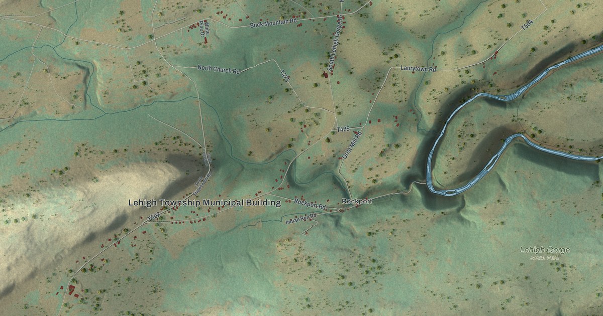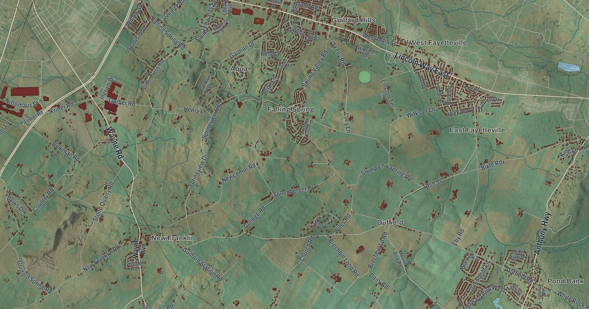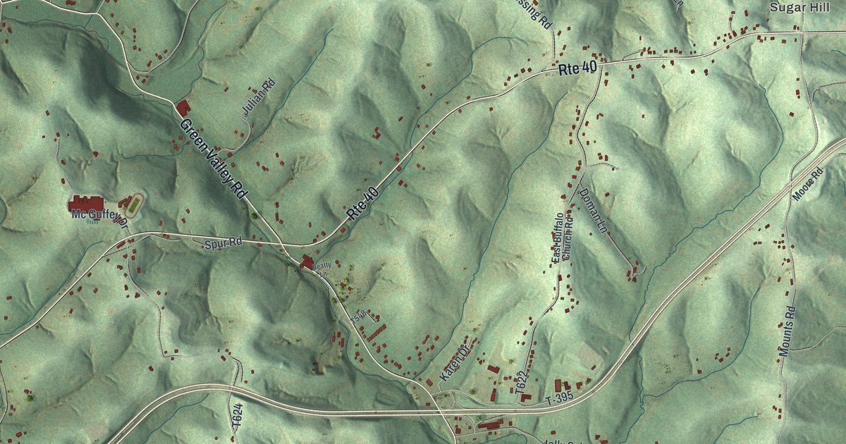
If you grew up along Rte 40 in Buffalo Township, have family near Taylorstown Station, or drive Coffeys Crossing Road every day, this map will look like home. It's a modern aerial view of Buffalo Township in Washington County, Pennsylvania, built from modern map data and styled with a vintage feel. Soft green hills fill the whole sheet. Roads cross them in thin lines, and each building is a small red mark. You can pick out the houses strung along Rte 40 and the quiet farm lanes between the ridges.
Rte 40, Coffeys Crossing and the old National Road
On this map you'll find Rte 40, Green Valley Road, South Bridge Road, Pleasant Valley Road, Rural Valley Road, McKee Road, Mounts Road, Coffeys Crossing Road, Jolly School Road, Highland Ridge Road, East Buffalo Church Road, Mel Blount Drive, Taylorstown Station, Coffeys Crossing, Finney, Sugar Hill, Rural Valley, and more. Each red shape is a building, so zoom in on the preview and look for yours.
Rte 40 through this township is the old National Road. A state historical marker stands where Rte 40 meets Coffeys Crossing Road. It calls this our first national road, fathered by Albert Gallatin. Work began at Cumberland, Maryland in 1811. The road reached Wheeling in 1818. From 1835 to 1905 the state ran it as a toll road. Rebuilt, it became U.S. Route 40. A second marker stands to the west, where Rte 40 meets Green Valley Road. That's the S Bridge. The Pennsylvania Historical and Museum Commission marker says the stone bridge was part of the National, or Cumberland, Road, and that countless wagons and stages crossed it, joining the East to the growing West. The National Register of Historic Places listed the bridge in 1975. About a mile and a half east of it, the Levi Wilson Tavern still stands on Rte 40, listed in 1996. Wolff's Fort is older than all of it. About 1780, Jacob Wolfe built a stockaded house on this stretch, and settlers ran to it for refuge. Its marker stands on Rte 40 too. Look at the red shapes along Rte 40 between Green Valley Road and Coffeys Crossing Road. Those buildings sit on the same road the wagons used.
McGuffey's Readers and Mc Guffey Drive
Mc Guffey Drive meets Rte 40 near the middle of the sheet. The map prints the name with a space, so look for it that way. A state marker at that corner honors William Holmes McGuffey. He was born five miles southwest of the marker on September 23, 1800. His McGuffey Eclectic Readers first came out in 1836. Over the next 85 years they sold 122 million copies. Their stories, essays and poems taught reading and moral lessons at the same time, and schools in some 35 states used them.
Taylorstown Station and the town first called New Brunswick
Taylorstown Station is printed left of center. The 1871 county history says the town of Taylorstown was first called New Brunswick, and that elections were held there by law in 1808. It sat on Buffalo Creek, eight miles west of Washington, with forty-two houses and 265 people. The same book says Buffalo Creek and its branches drain the township northwest toward the Ohio River, and that many grist mills and sawmills stood along the creek. In 1860 the whole township had 1,578 people, two stores, one distillery and eight schools with 320 scholars.
For someone who knows Rte 40 past Coffeys Crossing
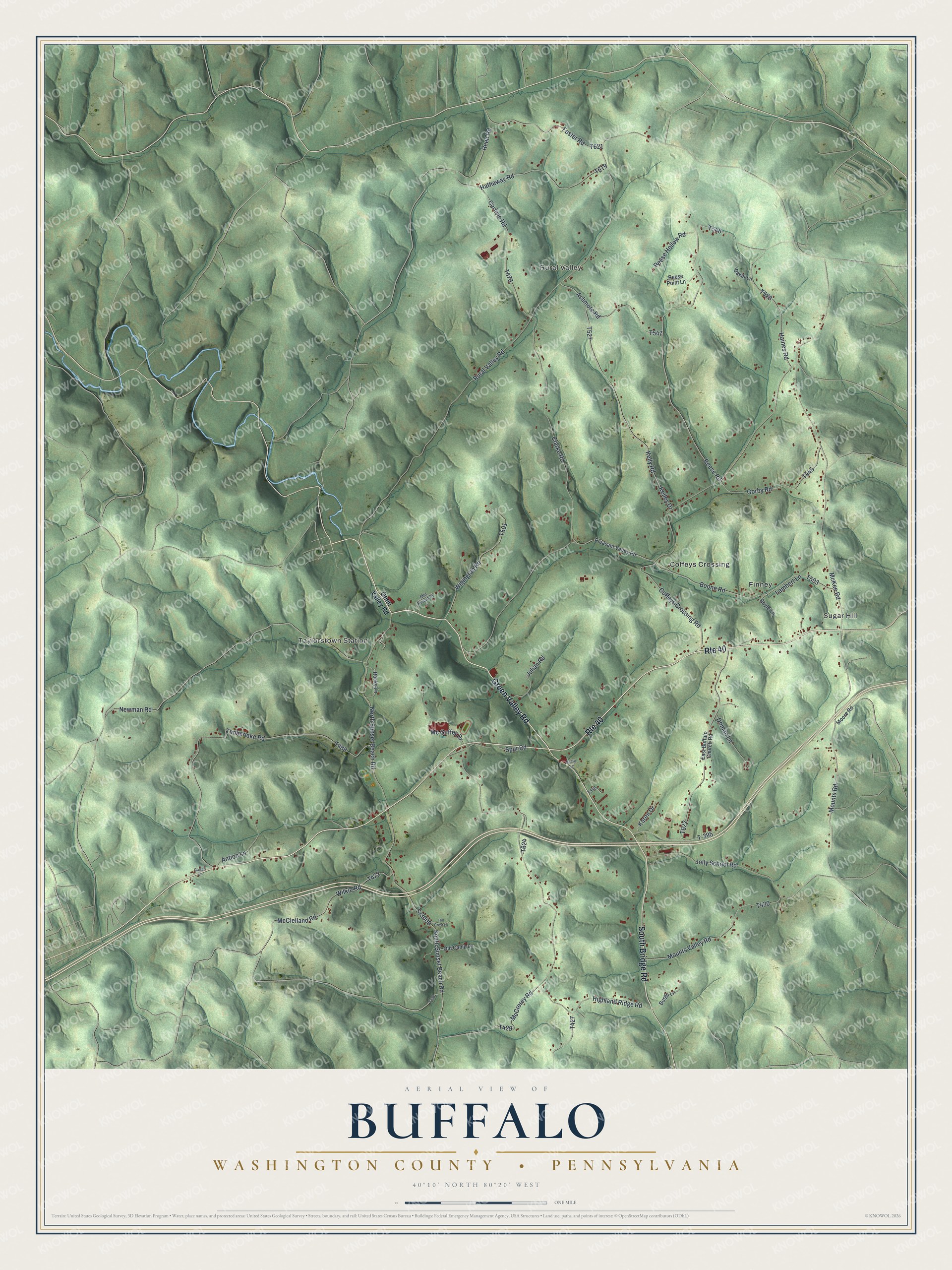
Created by KNOWOL in 2026, this Buffalo Township print shows soft green shaded hills, thin road lines and small red buildings inside a cream border. The hills come from USGS elevation data. The title panel reads "Aerial View of Buffalo," then "Washington County • Pennsylvania," with 40°10' North 80°20' West and a one-mile scale bar.
It suits a den, a kitchen wall, a home office or the hallway of a farmhouse out on Pleasant Valley Road. It's a good gift for someone who grew up here and moved away, for a family with land along Rte 40, or for anyone who learned to drive on the curves near the S Bridge. Open the watermarked preview, zoom in and find your road. See sizes and frames for the Buffalo, Washington County map.