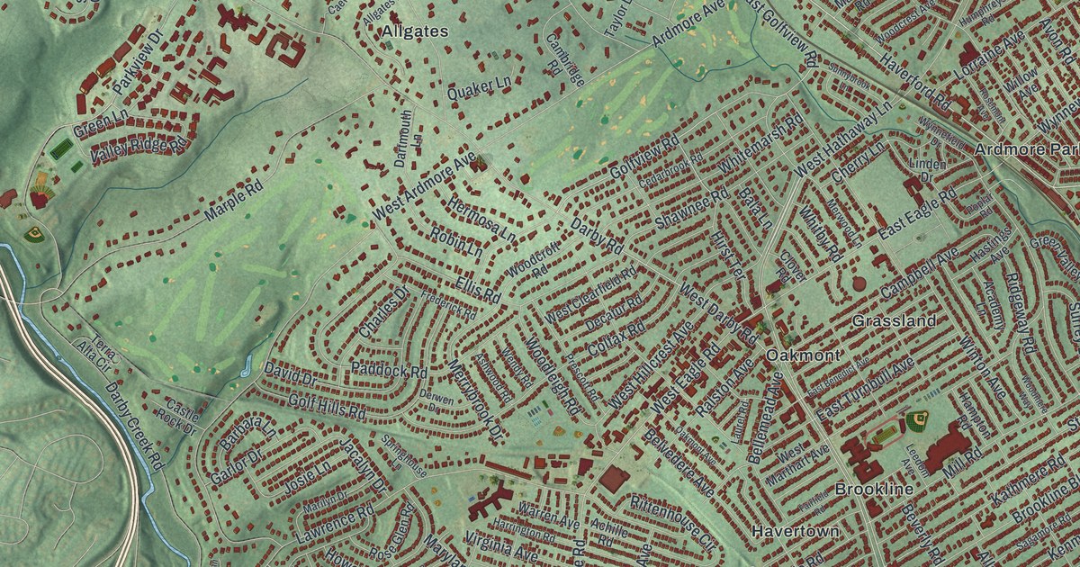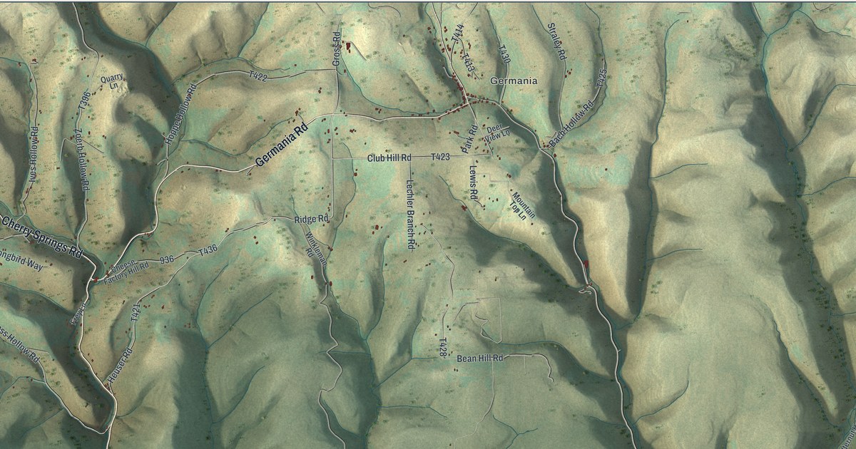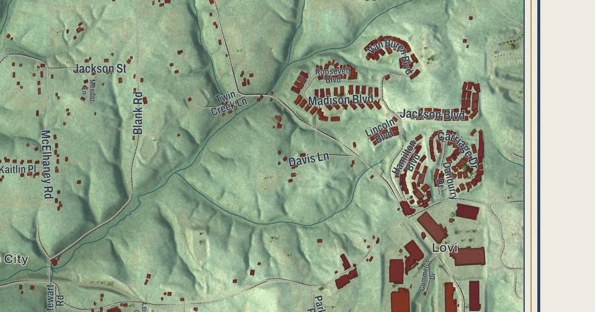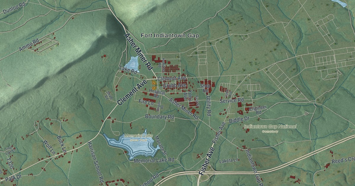
If you grew up in East Hanover, trained at the Gap, or still drive Jonestown Road through Harper Tavern, this map will look like home. It's a modern aerial view of East Hanover Township in Lebanon County, Pennsylvania, drawn from modern data with a vintage feel. Long mountain ridges cross the top corner in pale green, Fort Indiantown Gap sits below them, and a blue creek bends through the middle near Harper Tavern. Each building is a small red shape, and many of the roads carry their names.
Fort Indiantown Gap, Harper Tavern and Ono on the map
On this map you'll find Fort Indiantown Gap, Indiantown Gap National Cemetery, Memorial Lake State Park, Harper Tavern, Ono, McGillstown, Union Water Works, Valley Glenn, William Penn Highway, Allentown Boulevard, Jonestown Road, Fisher Avenue, Mountain Road, Ono Road, Gravel Hill Road, and more. Each red shape is a building, so zoom in on the preview and look for yours.
How Fort Indiantown Gap started in 1929
East Hanover is best known for Fort Indiantown Gap, and the post fills the top center of this map. A state historical marker stands near where Fisher Avenue meets William Penn Highway, and it tells the story in a few lines. The reservation was authorized in 1929. The first land was bought in 1931, and the National Guard first used it in 1932. In 1940 it was leased to the Federal government as an Army cantonment, a camp for troops. The marker puts the total area at more than 16,000 acres. Look at the road names printed around the post and you can guess what each one is for: Ammo Road, Military Road, Howitzer Road, Hospital Road, Engineer Road and Service Road. Indiantown Gap National Cemetery and Memorial Lake State Park are printed just below the post.
The name goes back much further than the fort. Another state marker, on Fisher Avenue just below Jonestown Road, says a native village called Indiantown once stood near there. The creek, the gap and the military reservation all took their names from it. The Delaware Indians took this route to Shamokin when they left the Schuylkill region. Indiantown is printed on the map today, a short way west of Harper Tavern. Harper Tavern has its own story. The 1883 county history says Adam Harper settled here before 1740, built a log house, and kept the first public house, a tavern, in all this region. One more name to look for is Lindley Murray Road, in the lower left of the map. A marker at Harper Tavern says Lindley Murray, the famous grammarian who wrote the English Grammar, was born on June 7, 1745 in a house on Indiantown Creek nearby.
How Ono got its name
Ono, on the right side of the map, has the shortest name in the township and a good story behind it. The county history says the first house there went up in 1846, and the village began to build up in 1850. Judge William Rank and Dr. D. S. Cooper named it Mount Nebo, a name from the Bible, because it sat high on a hill. When the post office opened in 1851, the Post Office Department called it Seltzerville instead. A year or two later the two men suggested another Bible name, Ono, and that one stuck. Jonestown Road, Ono Road and Lincoln School Road all come together near the village on this map.
For someone who knows Harper Tavern and the Gap
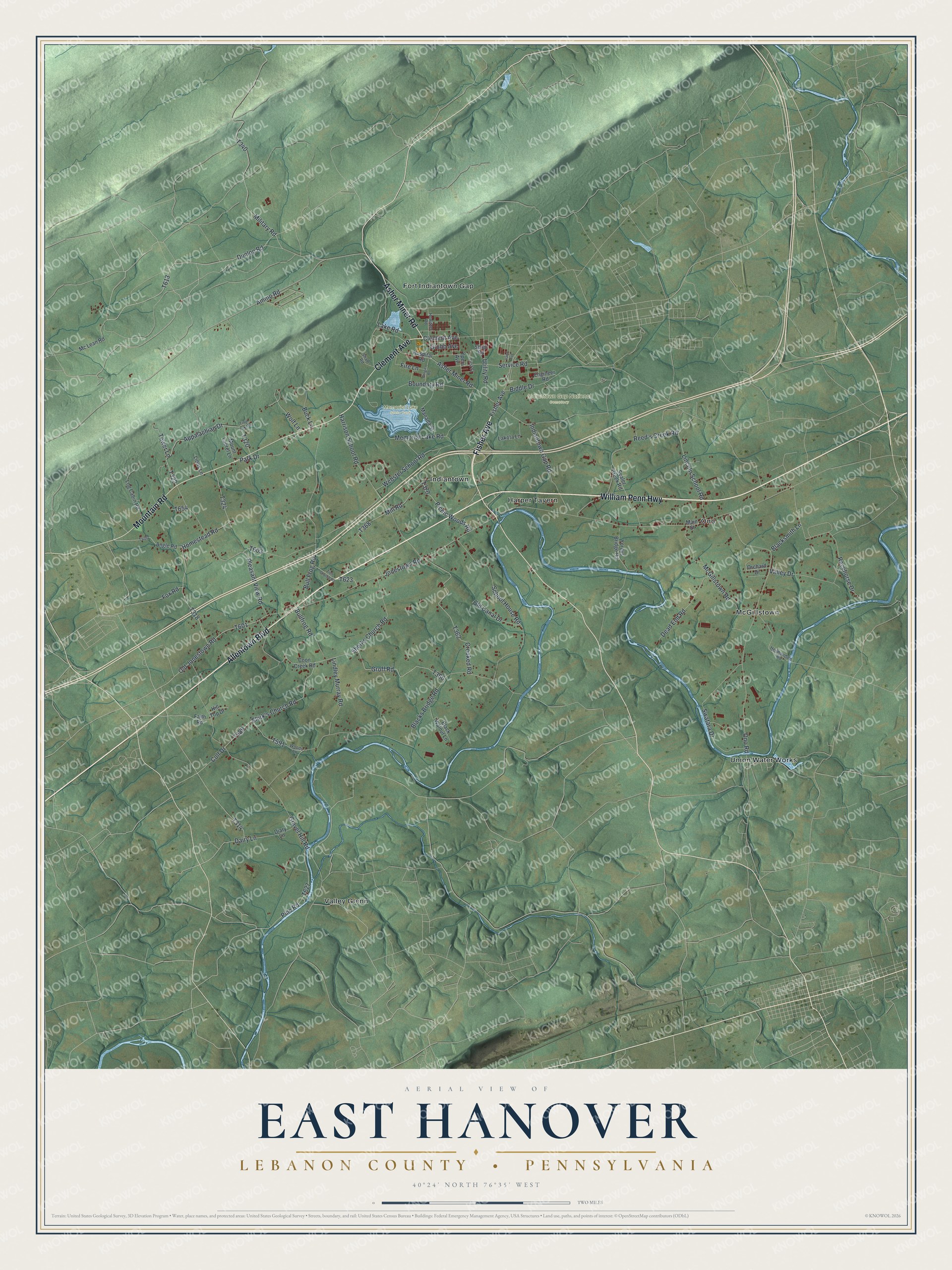
Created by KNOWOL in 2026, this East Hanover map shows the hills shaded in soft green, the roads as pale lines, and every building as a deep red shape. The shaded terrain comes from USGS elevation data. The title panel says "Aerial View of East Hanover, Lebanon County, Pennsylvania" and gives the spot as 40°24' North 76°35' West, with a two-mile scale bar underneath.
It suits a den, a home office, or the wall of a family that has served at the Gap. It's a good gift for someone who grew up along Jonestown Road, spent summer days at Memorial Lake State Park, or moved away from Lebanon County and misses it. Open the preview, find Harper Tavern, and see how far you can trace the roads you know. See sizes and frames for the East Hanover, Lebanon County map.