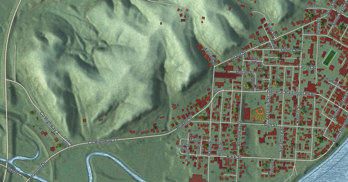
If you grew up in Middleport or have family here, look for a familiar block. This modern aerial view of Middleport in Meigs County, Ohio pairs modern data with a vintage feel. Red buildings fill the streets beside a broad blue river. Green hills rise behind town, and the view includes Hobson and Hobson Junction.
Mill Street, Walnut Street and William Outerbridge
On this map you'll find Mill Street, North Front Avenue, North Second Avenue, Walnut Street, Grant Street, General Hartinger Parkway, Broadway Street, Ash Street, Riverview Cemetery, Hobson, Hobson Junction, and more. Each red shape is a building, so zoom in on the preview and look for yours.
Middleport native William Outerbridge commanded the USS Ward at Pearl Harbor. His historical marker tells what happened before the air attack on December 7, 1941. At 6:37 that morning, his ship attacked a Japanese midget submarine. It was trying to enter the harbor. Outerbridge reported the action and the sinking before Japan's air attack began. The submarine was found in 2005, with shell holes that confirmed his report. His marker stands near Walnut Street and North Front Avenue, both named on this map.
Keep Middleport and Hobson close
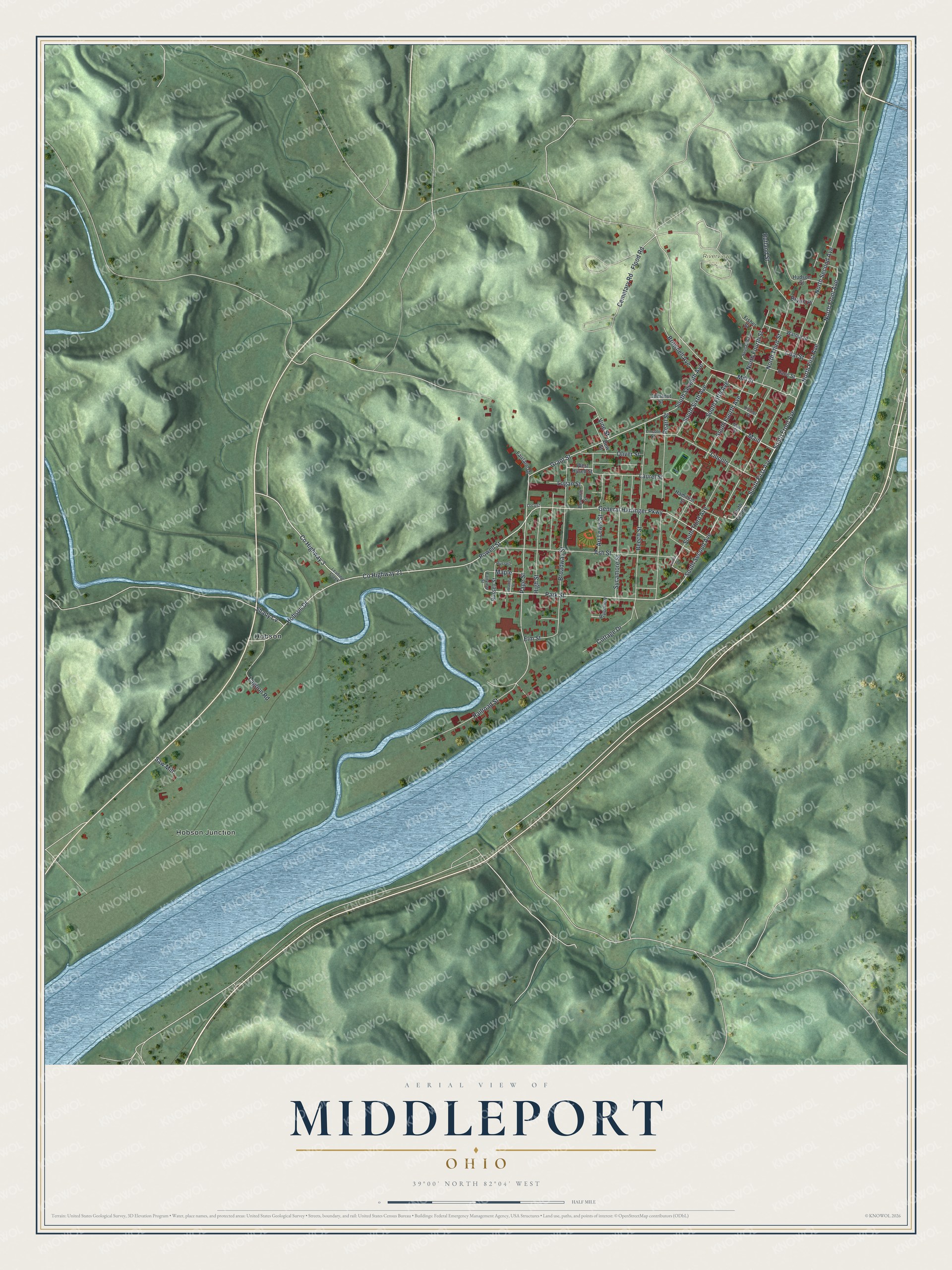
Created by KNOWOL in 2026, the print sets red buildings against shaded green hills and blue water. A cream border surrounds the view. The title panel reads "AERIAL VIEW OF MIDDLEPORT" and "OHIO," with 39°00' NORTH 82°04' WEST below.
Hang it in an office, den or living room where there's time to find a familiar street. It's a gift for someone who grew up near Mill Street or moved away from Hobson. Open the preview and zoom in on the blocks you know. See sizes and frames for the Middleport map.