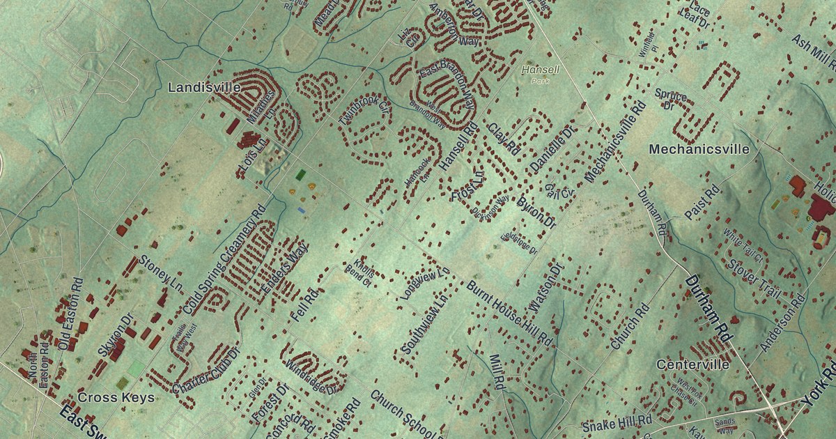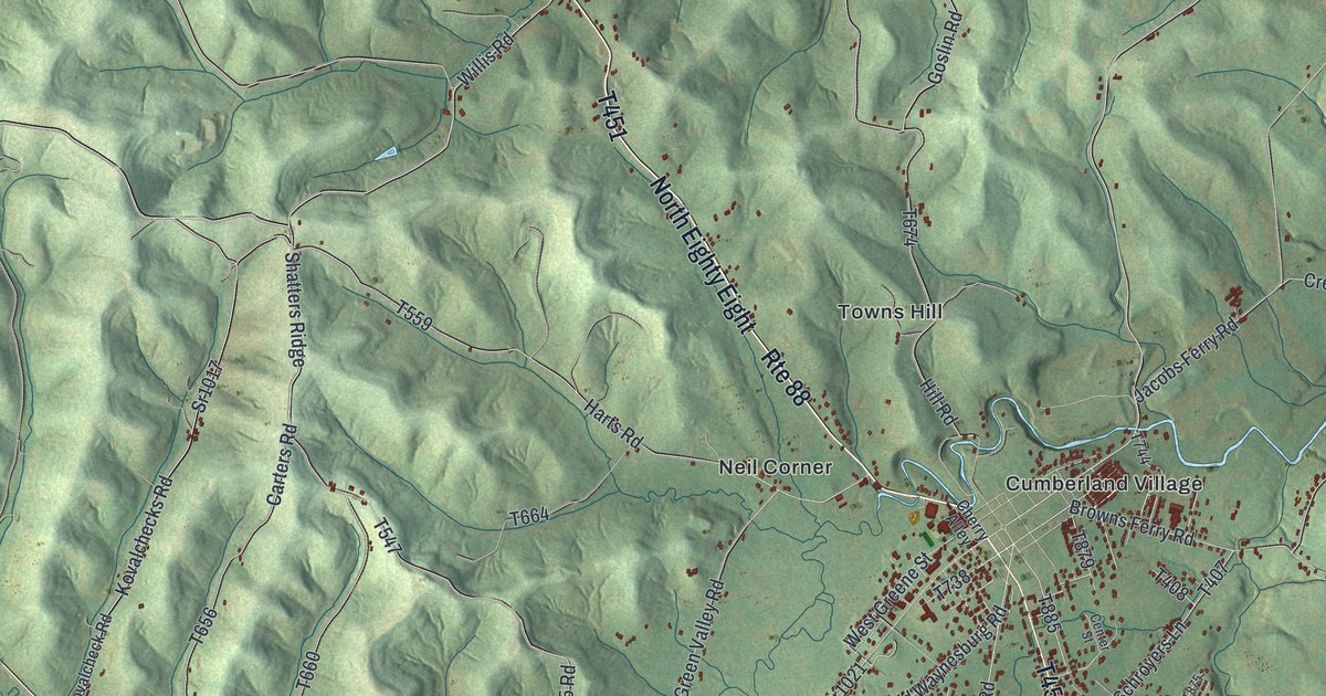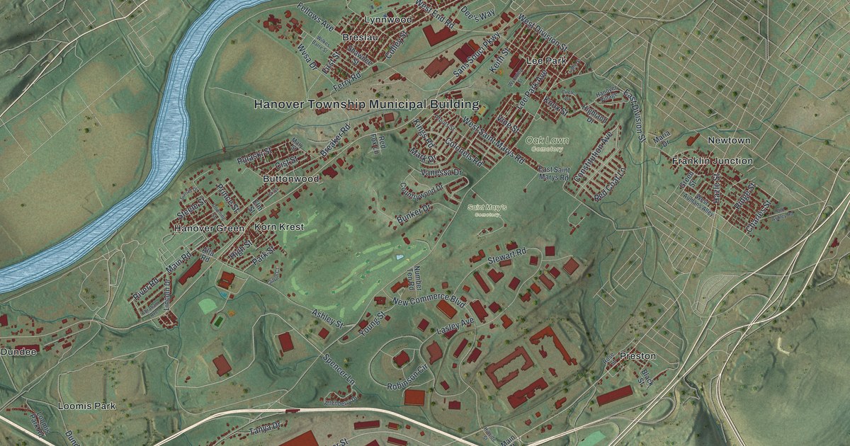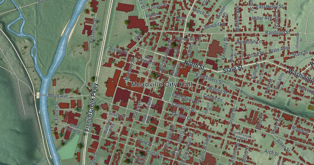
If you grew up in Meadville, went to Allegheny College, or still have family along North Main Street, this map gives you plenty to find. It's a modern aerial view of Meadville in Crawford County, Pennsylvania, drawn from modern data with a soft vintage look. French Creek winds down the left side in blue. The hills are shaded green, and thousands of buildings are drawn in red along the streets. The view runs from the homes above North Main Street Extended down past Neason Hill.
How David Mead laid out Water Street in 1793
Meadville City Hall sits in the bottom center of the sheet, where Walnut Street, Chestnut Street, Water Street, Park Avenue and Market Street all pass. Water Street runs north from there across Randolph Street and North Street, and south to French Creek Parkway, which picks up the creek at the bottom left corner. Grove Street runs south into Williamson Road, which passes Cora Clark park on its way to Neason Hill at the bottom of the sheet. Each red shape is a building, so zoom in on the preview and look for yours.
Meadville is the oldest settlement in northwest Pennsylvania. David Mead came to the valley in 1788, and for years the place was called Mead's Settlement. In 1793 he laid out a town and began selling lots. An 1885 county history tells how the survey went. Mead and his chain bearer, Henry Marly, began at Mead's log mill near the head of Water Street. They ran their line south, cutting hazel brush as they went. Late in the afternoon they reached the spot where Mill Run crosses Water Street. Mead looked at his watch and said, "Well, Henry, we'll stop here." He guessed the town would never grow beyond that creek. He lived to see the village pass that line.
County seat in 1800 and six-dollar lots on Chestnut Street
The town was surveyed again in 1795 and cut into seventy-five squares. One square, called the Diamond, was set aside for public buildings. Crawford County was formed in 1800, and Meadville became the county seat. In 1805 the owners offered lots at six dollars each, mostly on Water, Chestnut and Walnut Streets. A state historical marker adds that the first direct primary in the country was held here in 1842. It also says the making of hookless fasteners, better known as zippers, was pioneered here. On the map, Water Street still runs closest to the creek. Chestnut Street and Walnut Street cross the downtown grid near Meadville City Hall.
For someone who knows North Main Street and the creek
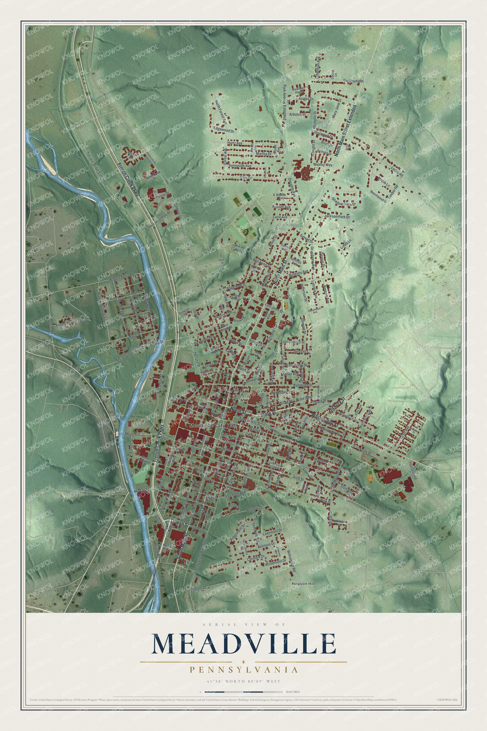
Created by KNOWOL in 2026, this Meadville map shows the town on green shaded hills, with French Creek winding down the left side in blue and each building drawn in red. The shaded terrain comes from USGS elevation data. The title panel reads "Aerial View of Meadville, Pennsylvania" with the coordinates 41°38' North, 80°09' West and a half-mile scale bar.
It suits an office, a den, a kitchen or a dorm wall. It makes a good gift for someone who grew up here, went to school here, or has family near Cora Clark Park. It's also an easy way to keep Meadville close for someone who moved away. Open the watermarked preview, zoom in and find the block you know. See sizes and frames for the Meadville map.