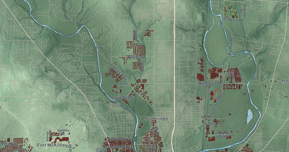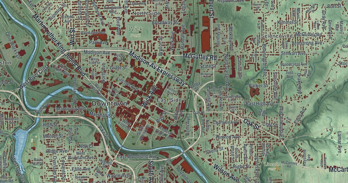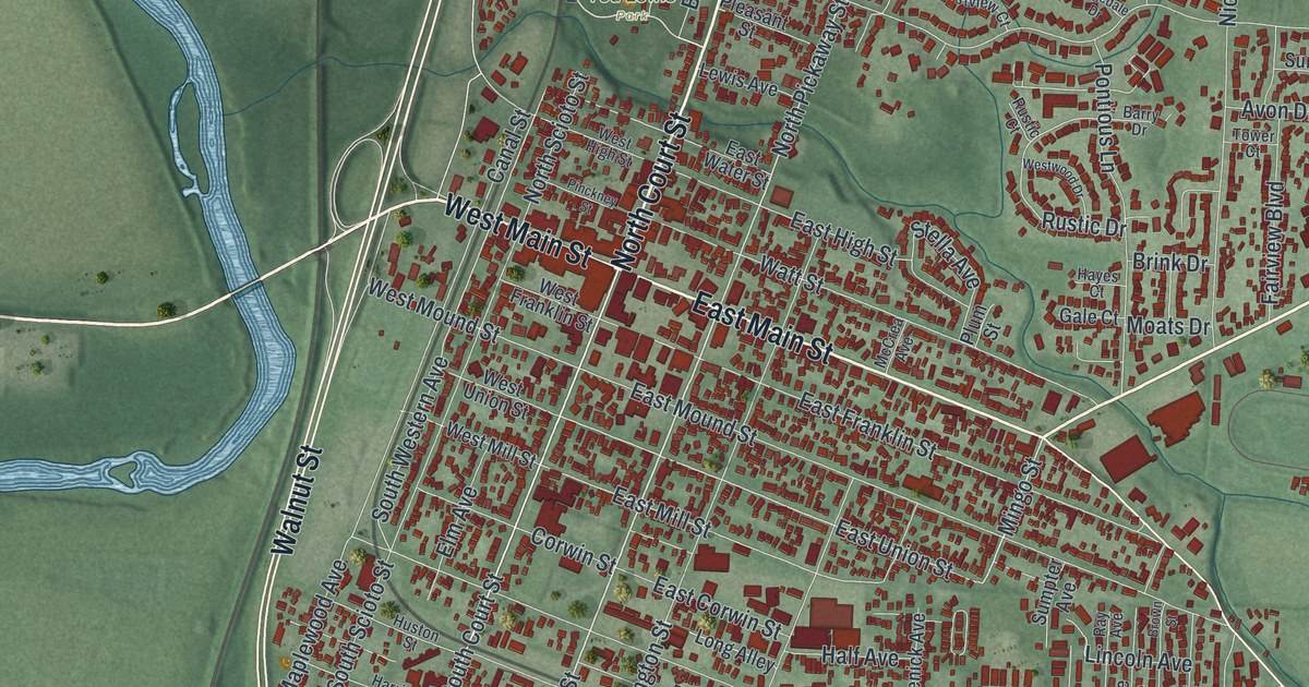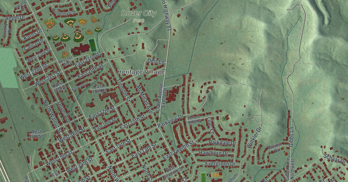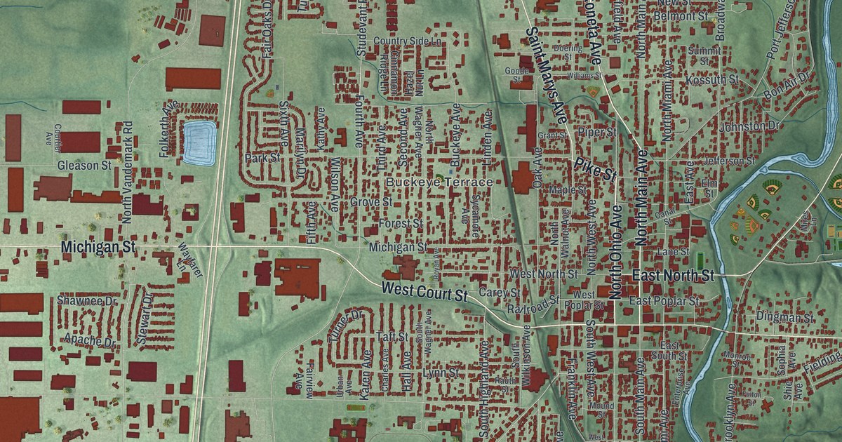
If you grew up in Sidney, this map gives you familiar streets to find again. It's a modern aerial view of Sidney in Shelby County, Ohio, made from modern data with a vintage feel. Red buildings fill the downtown grid and spread into the neighborhoods. A blue river curves through the green landscape beside town.
Sidney's streets and Shelby County Courthouse
You'll find Michigan Street, West Court Street, North Ohio Avenue, North Main Avenue, Wapakoneta Avenue, East Court Street, Riverside Drive, Fair Road, Buckeye Terrace, Tawawa Park, Graceland Cemetery, and more. Each red shape is a building, so zoom in on the preview and look for yours.
Sidney became the county seat in 1820, taking over from Hardin. The courthouse's historical marker tells how the present building took shape. Its cornerstone was laid on July 4, 1881. Limestone, sandstone and marble arrived by canal boat. Work was finished in 1883. The four sides each have broad stone steps and a figure of Lady Justice. Above them, a 170-foot tower holds four clocks. Look for the downtown blocks near the printed North Ohio Avenue and North Main Avenue names. That's the courthouse area on this view.
Keep Sidney and Tawawa Park close
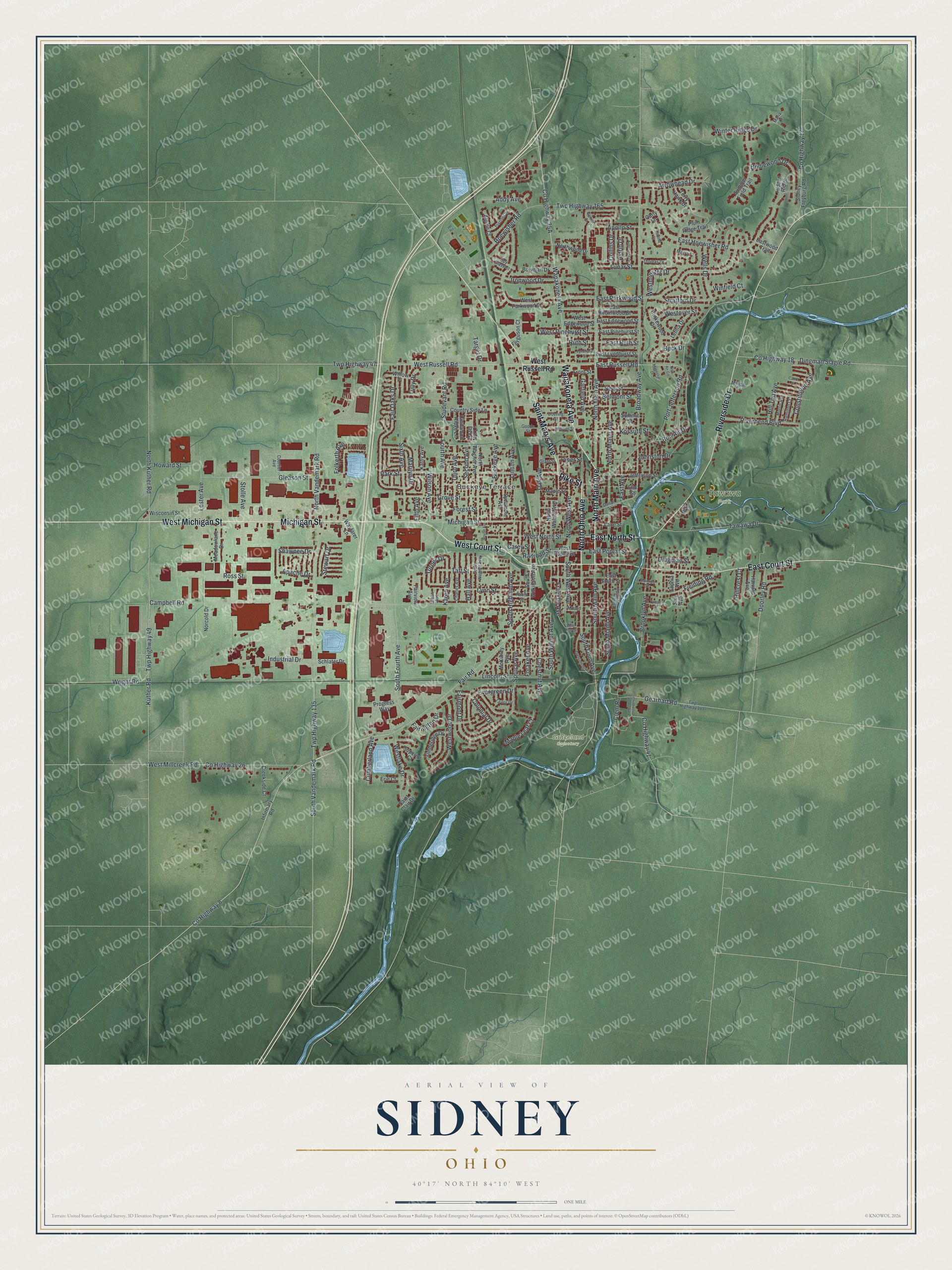
Created by KNOWOL in 2026, the print pairs deep red buildings with green shaded land and blue water. A cream border surrounds the view. The title panel reads "AERIAL VIEW OF SIDNEY OHIO" with 40°17' NORTH 84°10' WEST beneath it.
Hang it in an office, den or family room. It's a gift for someone who grew up near Tawawa Park and now lives far from Sidney. Open the preview and look for the streets you'd want to show them. See sizes and frames for the Sidney map.