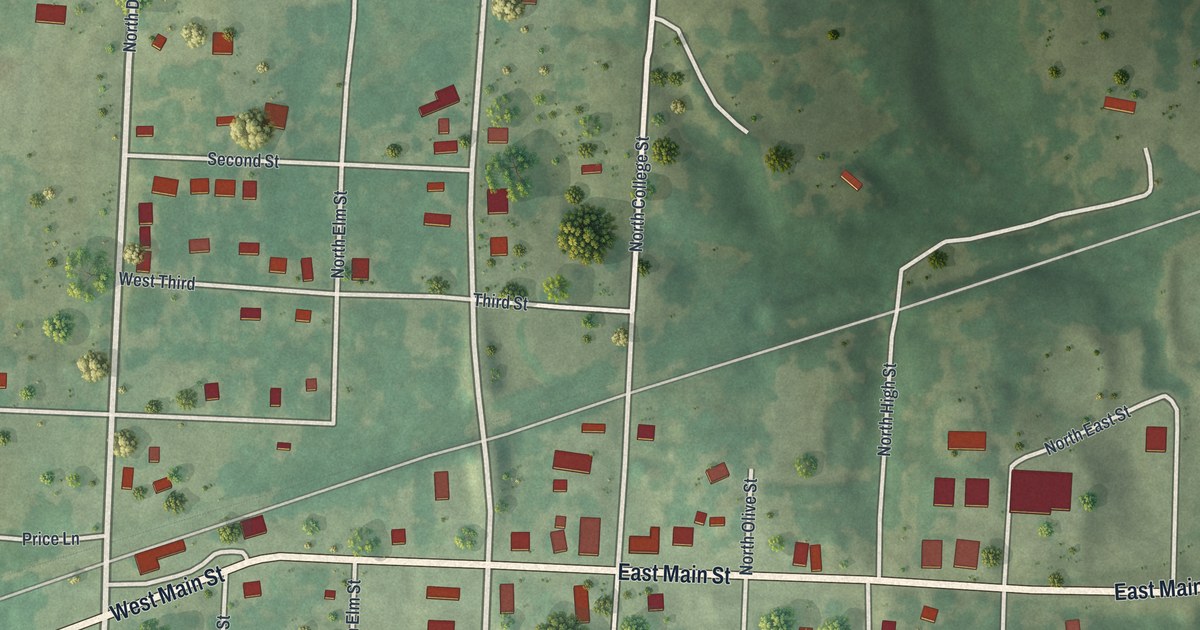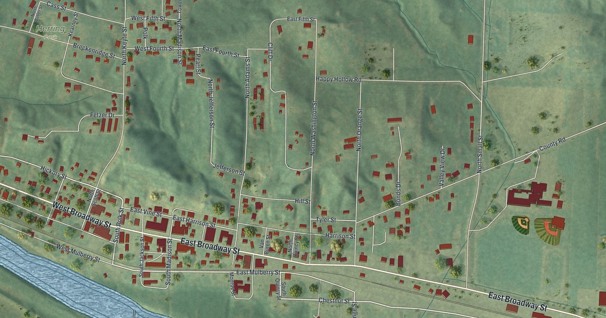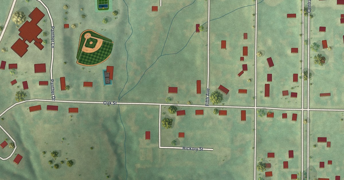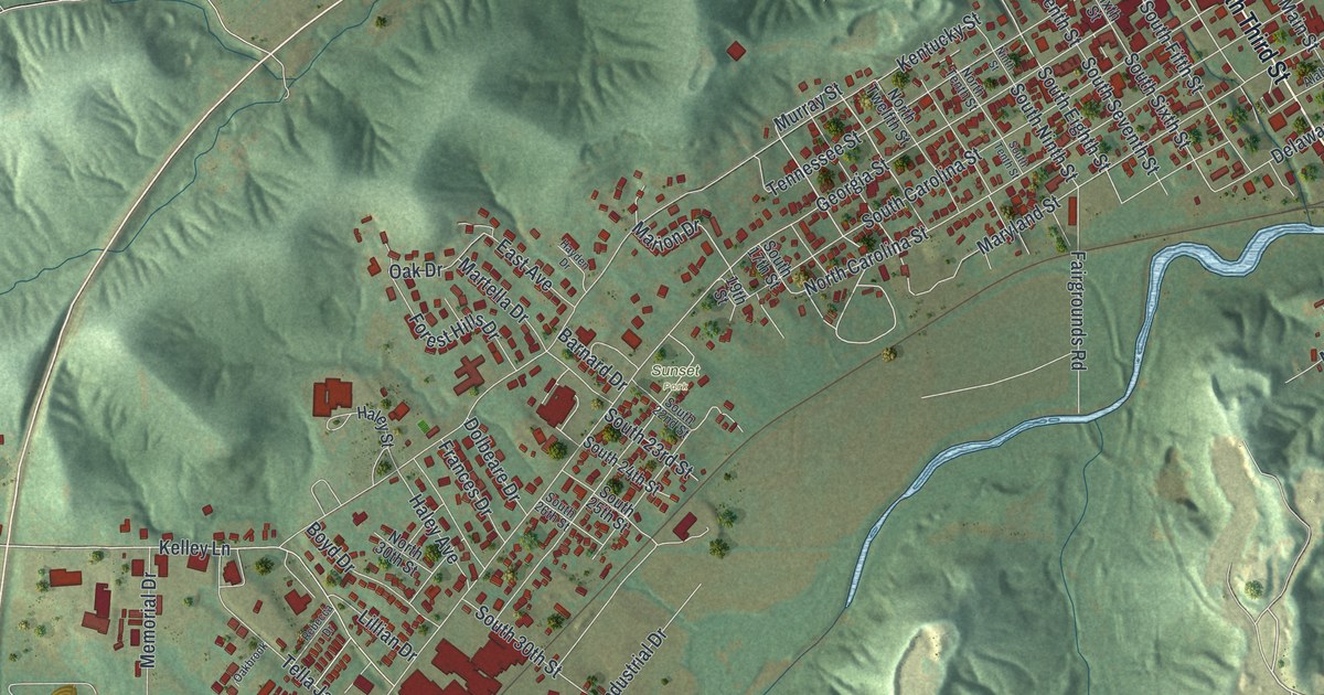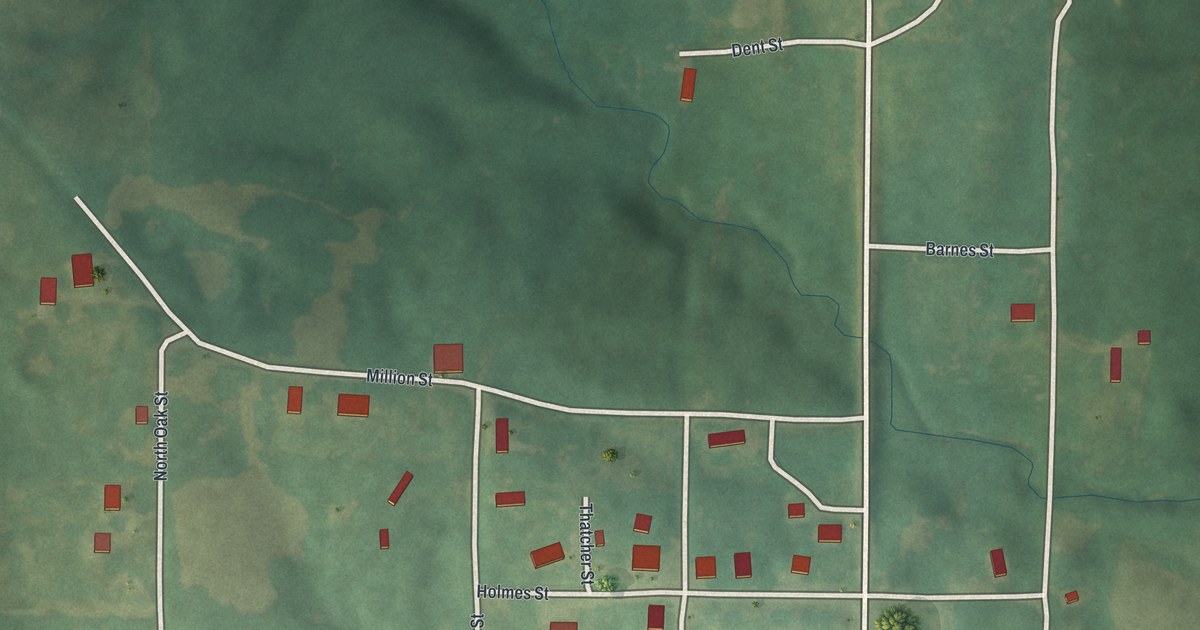
If you grew up in Newark, or your family farmed the hills around it, this map was made for you. It's a modern aerial view of Newark in Knox County, Missouri, built from current data and finished with a vintage look. The village sits near the middle of the sheet, with its red buildings gathered along Fresh Street and State Highway KK. Green hills roll across the top, and the land stays soft and open all around.
Fresh Street, Main Street and the streets of Newark
On this map you'll find Fresh Street, Main Street, State Highway KK, Watts Street, Locust Street, Million Street, Shelby Street, Holmes Street, North Maple Street, North Oak Street, Dent Street, Barnes Street, Radical Ridge Road, and more. Each red shape is a building, so zoom in on the preview and look for yours.
The 1835 church classes near Newark
Newark's story reaches back to the 1830s. Goodspeed's 1887 history of the county says the first classes of the original Methodist Episcopal Church in Knox County were formed near Newark and Colony in 1835 and 1836. Meetings were first held in the members' houses. Then they met in the schoolhouse at Newark. That went on until 1851, when the church was built. The same history tells of a man put to making rails on the Fabius, about a mile and a half west of Newark. His task was 125 rails a day. The usual task for a grown man in good timber was only 100. The Newark on this map is that same place, with its streets gathered along Fresh Street and Main Street.
Around the village, the map shows the shape of the land. Hills shade the upper part of the sheet, and creek lines wind through the low ground. Radical Ridge Road sits up in the hills above town. A small patch of blue water shows in the lower left corner. Most of the sheet is open country, with tree clumps dotted here and there.
Keep Fresh Street on the wall
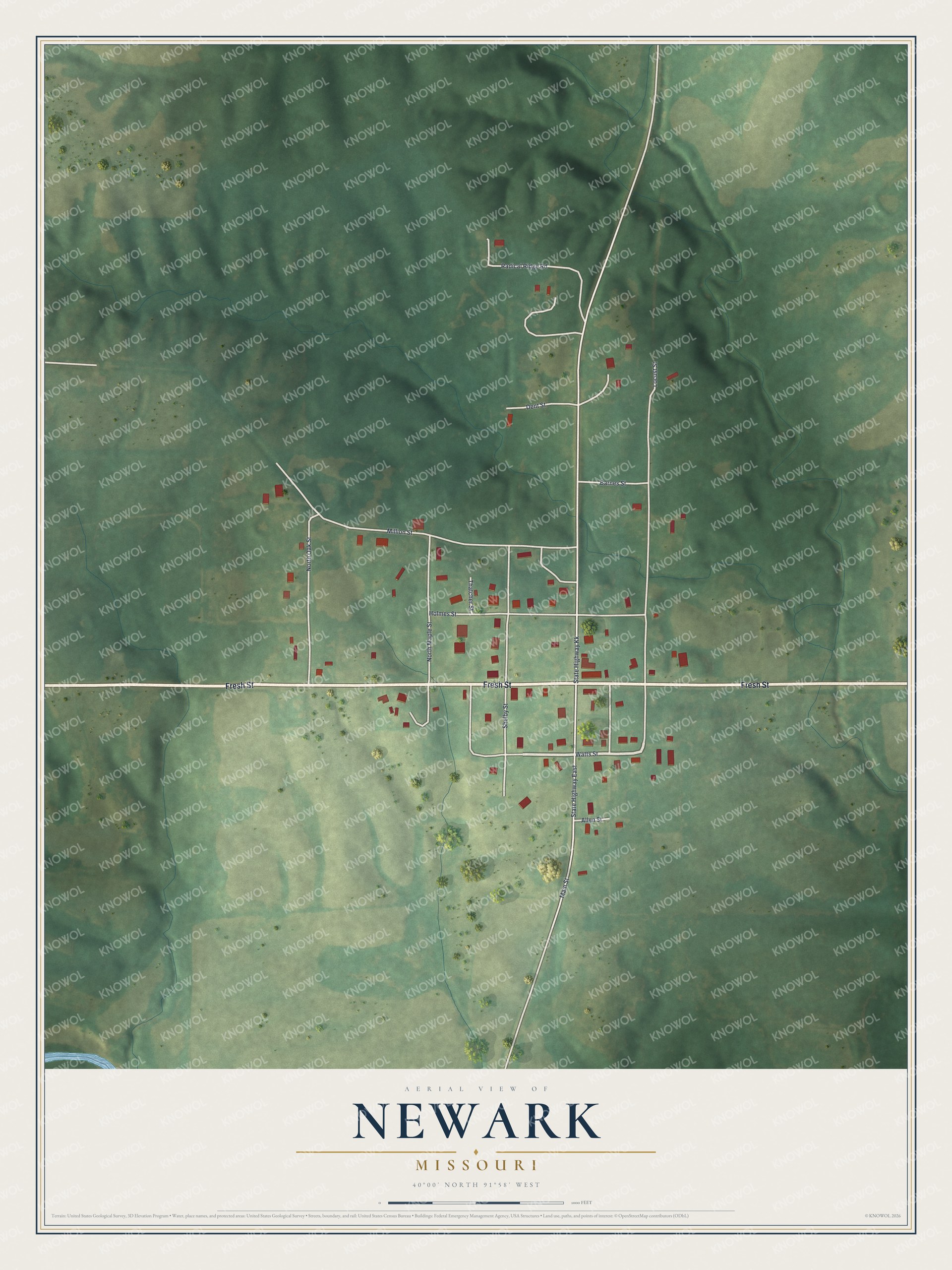
Created by KNOWOL in 2026. The print shows Newark from above in soft greens, with the hills shaded so you can see how the land rises and falls. Roads are drawn in white and buildings in red. The title panel at the bottom reads AERIAL VIEW OF NEWARK, MISSOURI, 40°00' NORTH 91°58' WEST.
It suits a kitchen wall, a farmhouse hallway, or a desk in an office far from Knox County. It's a gift for anyone who learned to drive on Fresh Street or still has family along State Highway KK. Open the preview and find your own place in Newark. See sizes and frames for the Newark map.