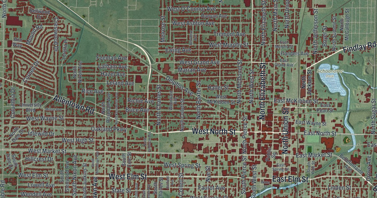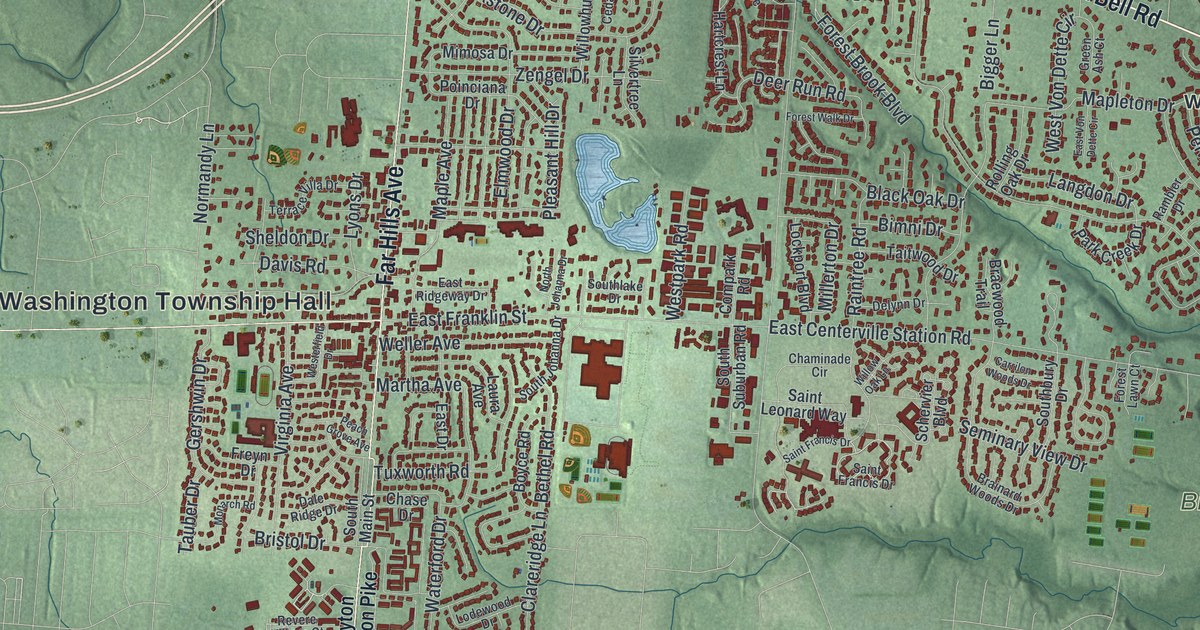
If you grew up in Centerville, went to school here, or still have family on a street off Far Hills Avenue, this map gives you a lot to find. It's a modern aerial view of Centerville in Montgomery County, Ohio, built from modern data and finished with a vintage feel. More than 35,000 buildings are drawn in dark red over soft green hills. A blue creek winds down the left side, and neighborhood names like Woodbourne, Wittes Corners and Oak Ridge sit along the top of the sheet.
Far Hills Avenue, South Main Street and Washington Township Hall
On this map you'll find Far Hills Avenue, South Main Street, Alexandersville Bellbrook Road East, East Alex Bell Road, Wilmington Pike, Spring Valley Pike, Yankee Street, Clyo Road, Whipp Road, Sheehan Road, Paragon Road, Washington Township Hall, Bill Yeck Park, Whites Corner, and more. Each red shape is a building, so zoom in on the preview and look for yours.
Erma Bombeck's house on Cushwa Drive
The house at 162 Cushwa Drive is on the National Register of Historic Places. It was listed in February 2015 as the Erma Bombeck House. Her National Register nomination tells how the newspaper writer got her start. She asked an editor for a job while she was still in school. He said no. He needed someone full time, not someone who'd be there half the month. Erma offered to find a classmate to work the other two weeks. That got her the job. She also studied English for a while, struggled with the program, and left after the first year. She married in 1949. When the first child came in 1953, she gave up her newspaper job. Cushwa Drive is printed near the middle of this map, in the blocks between Far Hills Avenue and Clyo Road.
General Edmund Munger's farm on Yankee Street
Yankee Street runs down the left side of the sheet. An Ohio historical marker at 9955 Yankee Street tells the story of Edmund Munger. He was born in Norfolk, Connecticut, in 1763. In 1799 his wife Eunice Kellogg and their five children traveled by wagon and flat-bottomed boat to claim land in Washington Township. Munger was a blacksmith and a farmer. In 1804 he was elected a Montgomery County Commissioner. From 1809 to 1826 he served as Clerk of Washington Township. His militia men made him a Brigadier General in 1809. During the War of 1812 the governor told him to defend the frontier within his command. He died at his farm in 1850 and is buried next to his wife in the Old Centerville Cemetery. The marker stands near the bottom left corner of this map. Washington Township Hall is printed near the middle, where Far Hills Avenue comes down toward South Main Street.
For anyone who knows Far Hills Avenue and Bill Yeck Park
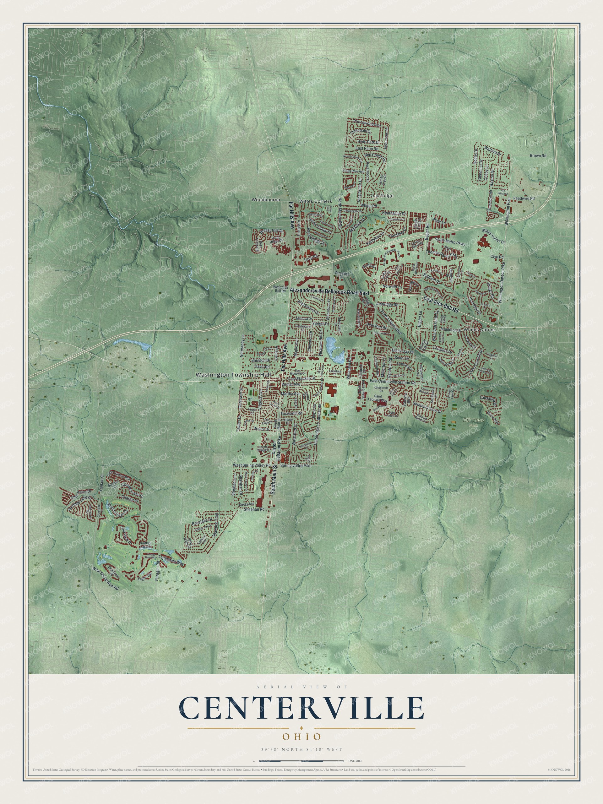
Created by KNOWOL in 2026, this Centerville map sets the city's streets and buildings over hills shaded from USGS elevation data. The streets come from Census Bureau records. The title panel reads "Aerial View of Centerville, Ohio" with the coordinates 39°38' North, 84°10' West and a one-mile scale bar.
It suits a kitchen, a home office or a den. It makes a good gift for someone who grew up off Far Hills Avenue and moved away, or for a family that spends its weekends at Bill Yeck Park. Open the preview, zoom in and find the street you know. See sizes and frames for the Centerville map.