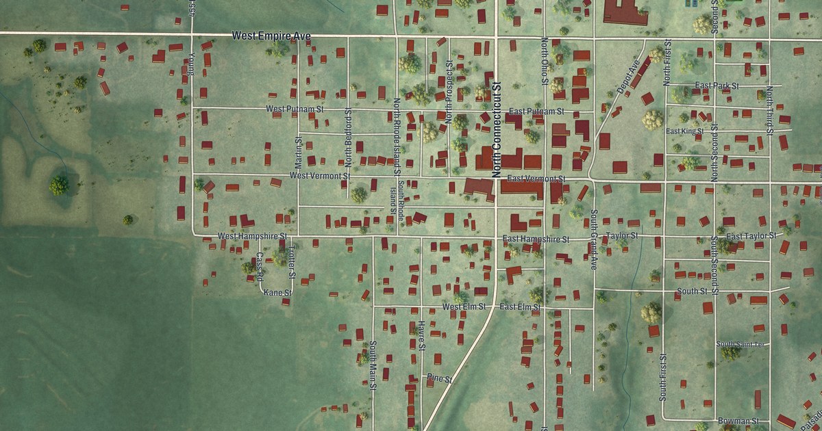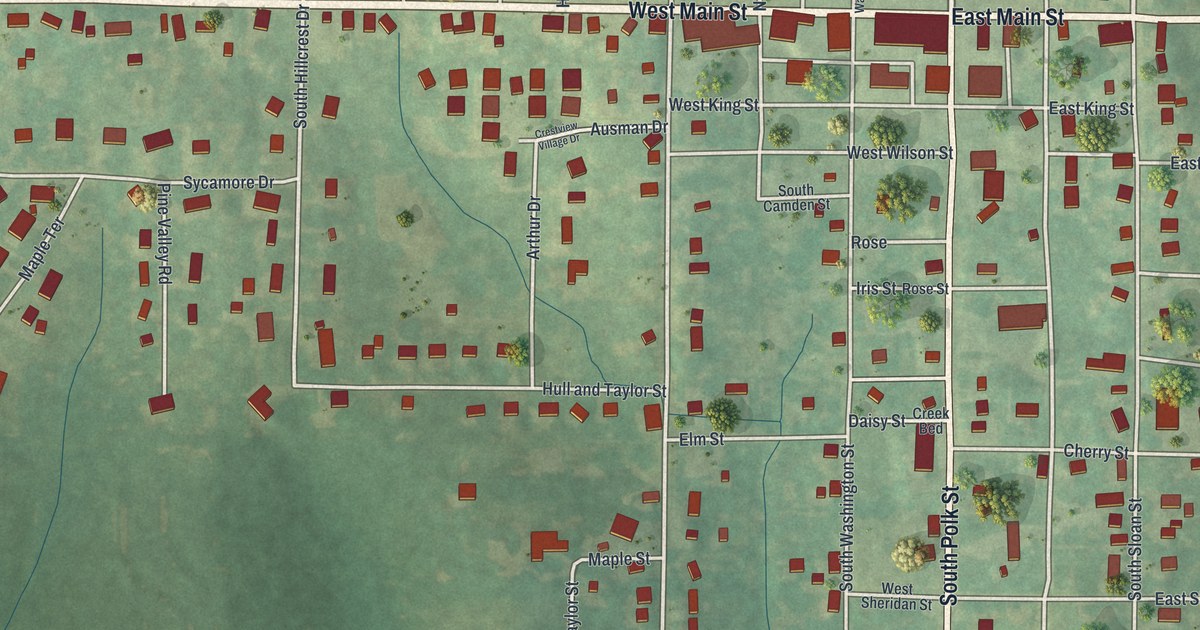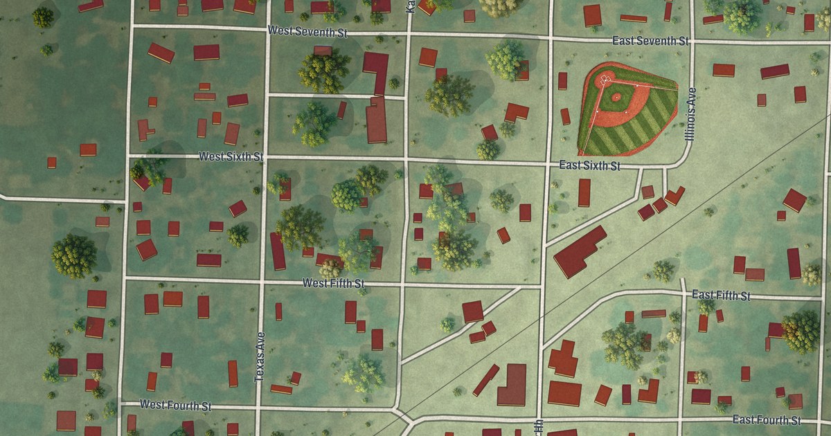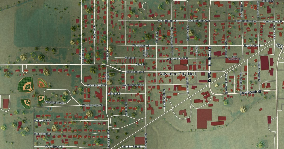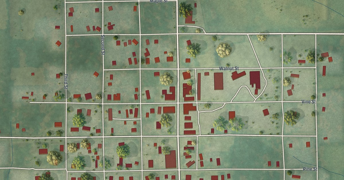
If you grew up in Ridgeway, look for your old street on this print. It's a modern aerial view of Ridgeway in Harrison County, Missouri, using modern data with a vintage feel. Red buildings line pale streets, with green hills and small streams around town.
Main Street and Ridgeway's railroad years
On this map you'll find Main Street, Chestnut Street, Second Street, Cedar Street, Pine Street, Locust Street, First Street, Third Street, Vine Street, Elm Street, Walnut Street, Spruce Street, and more. Each red shape is a building, so zoom in on the preview and look for yours.
The 1921 History of Harrison County, Missouri describes Ridgeway as a busy business center on the Burlington Railroad. It stood on the line between Marion and Grant townships. The town had two banks, a hotel, and shops in nearly every line of trade. The book also praised its school system. As you look at today's blocks along Main Street, picture the town that account describes. Banks, shops, and a hotel were all part of Ridgeway's story more than a century ago.
Ridgeway's streets in green and red
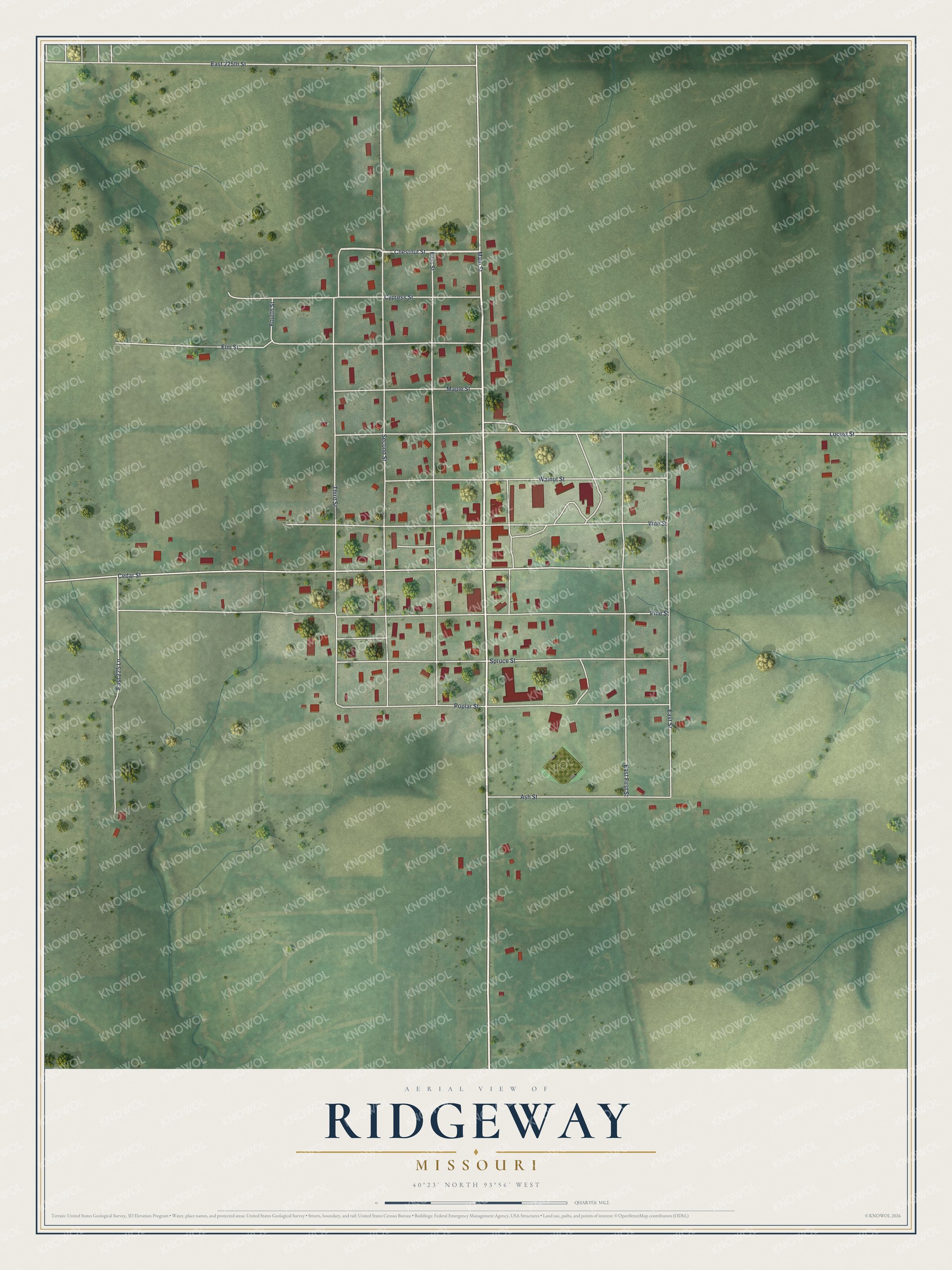
Created by KNOWOL in 2026, the print pairs soft green terrain with red buildings and pale roads. A cream border surrounds the view. The title panel reads AERIAL VIEW OF RIDGEWAY, MISSOURI, with 40°23' NORTH 93°56' WEST below.
Hang it in a living room, home office, or entryway. It's a warm gift for someone who grew up near Main Street and now lives far from Ridgeway. Open the preview to take a closer look at the streets you know. See sizes and frames for the Ridgeway map.