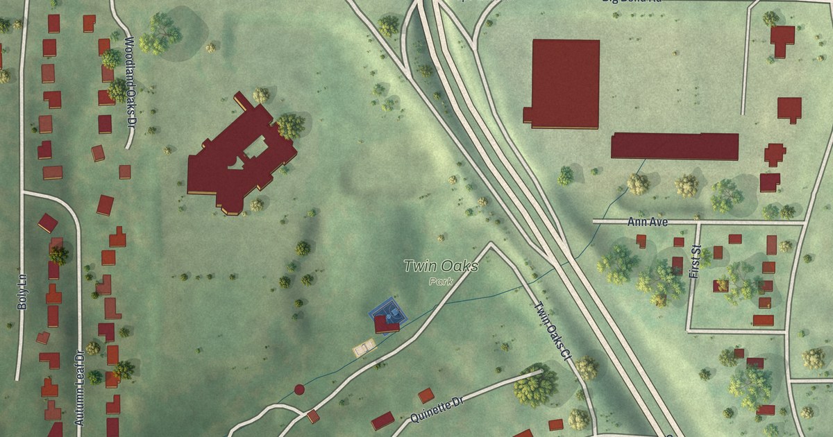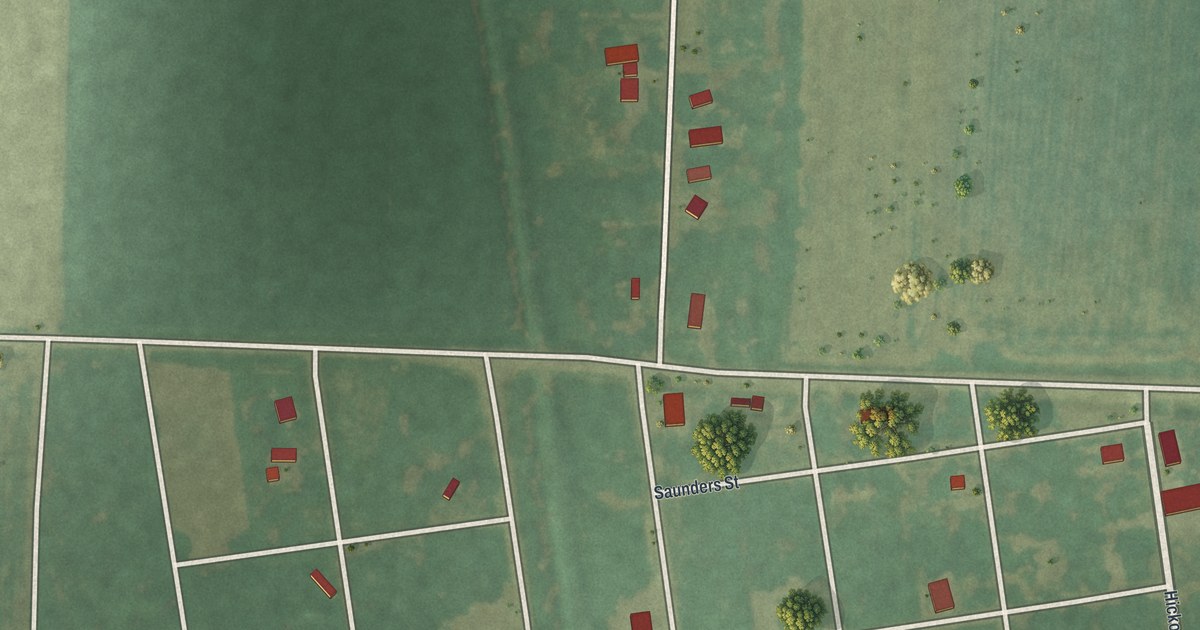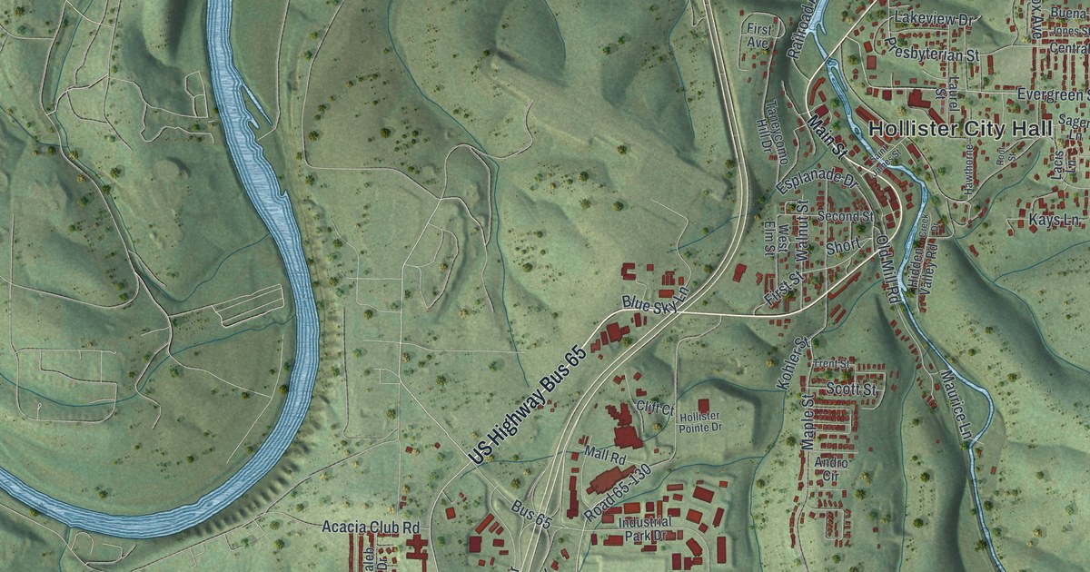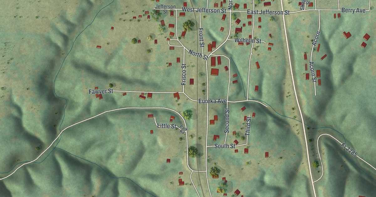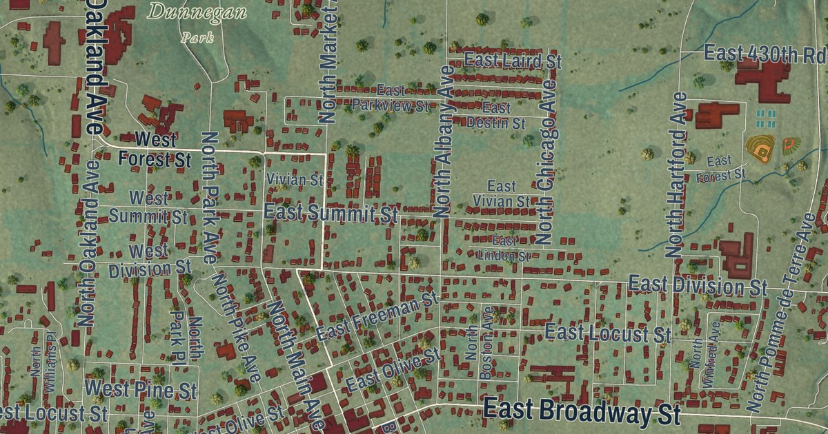
This beautifully detailed map of Bolivar, Missouri was created in 2026 using aerial imagery combined with modern topographical, census, street and landmark data. It’s a one-of-a-kind view of Bolivar that combines accurate data with a vintage aesthetic. The map shows every building in its true location, many of the roads carry their names, and the shaded topographic relief shows the shape of the land.
Explore an aerial view of Bolivar, Missouri
On the map you’ll find Bolivar City Hall, Dunnegan Park, Greenwood Cemetery, and West Broadway, along with West Broadway Street, West Forest Street, South Springfield Avenue, East Broadway Street, North Oakland Avenue, North Main Avenue, East Division Street, South Main Avenue, and more. If you look closely you can even find your house accurately drawn in its correct location. Zoom in on the preview to look for yours.
Did you know this piece of Bolivar, Missouri history?
From the 1889 History of Hickory, Polk, Cedar, Dade, and Barton Counties, Missouri: "The land first entered was that on which the town of Bolivar was built, and the entry was made by William Jamieson, commissioner of Polk County, October 5, 1837."
Take a closer look at the Bolivar map
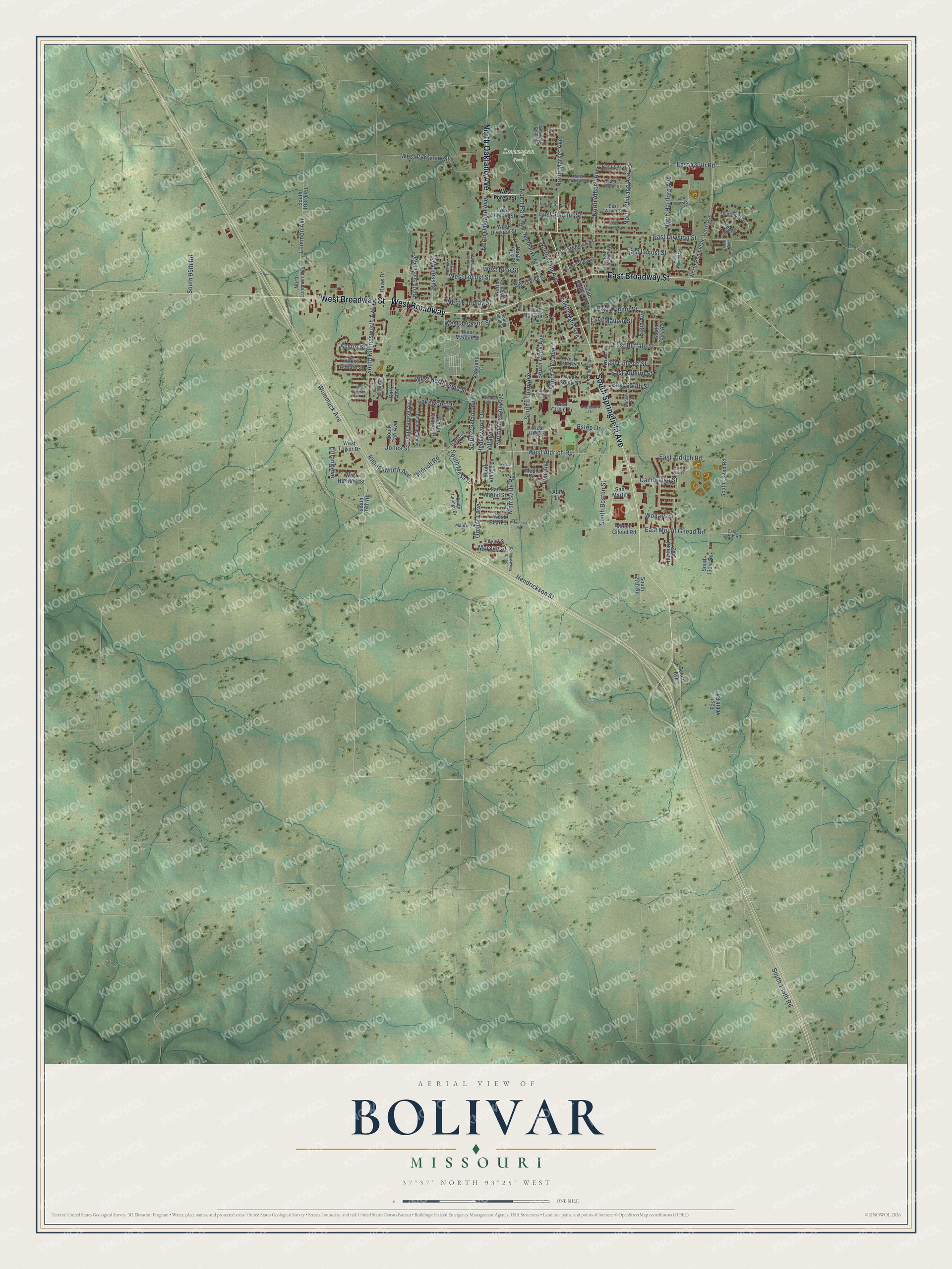
Street and place names on the Bolivar, Missouri map
These names are printed on the map of Bolivar, Missouri.
Places: Dunnegan Park.
Streets and roads: West Broadway Street, West Broadway, South Springfield Avenue, East Broadway Street, North Oakland Avenue, North Main Avenue, East Division Street, South Main Avenue, Aldrich Road, East Locust Street, West Aldrich Road, East Buffalo Street.
More street names, A to Z
Abbi Lane, Andersen Drive, Austin Street, Barker Avenue, Boston Place, Cambridge Street, Carl Avenue, Colony Avenue, Davis Drive, Denver Place, Drake Street, East 430th Road, East 455th Road, East 466th Road, East Aldrich Road, East Auburn Street, East Circle Drive, East College Street, East Destin Street, East Forest Street, East Freeman Street, East Laird Street, East Lindon Street, East Maupin Street, East Mount Gilead Road, East Olive Street, East Parkview Street, East South Street, East Summit Street, East Vivian Street, East Walnut Street, Elgin Avenue, Estep Drive, Hartford Avenue, Hedgewood Drive, Hendrickson Street, Highland Terrace, Holt Avenue, Jones Street, Joycee Lane, Killingsworth Avenue, Lakewood Drive, Lemmon Avenue, Lillian Place, Maple Street, Maurice Street, Morgan Street, Morman's Road, Morrisville Road, Mount Gileod Road, North Albany Avenue, North Boston Avenue, North Chicago Avenue, North Claud Avenue, North Hartford Avenue, North Lemmon Avenue, North Market Avenue, North Park Avenue, North Park Place, North Pike Avenue, North Pomme de Terre Avenue, North Sunset Avenue, North Williams Place, North Winfred Avenue, Oakland Drive, Orchard Avenue, Pike Avenue, Redel Place, Russell Avenue, San Martin, San Martin Street, Scenic Avenue, South 95th Road, South 103rd Road, South 107th Road, South 127th Road, South 131st Road, South 132nd Road, South 135th Road, South Albany Avenue, South Baron, South Benton Avenue, South Birum Avenue, South Boston Street, South Carl Avenue, South Charles Place, South Clark Avenue, South Claud Street, South Durango Drive, South Gary Avenue, South Killingsworth Avenue, South Lillian Avenue, South Meadow Lane, South Mesa Drive, South Mission Avenue, South Morrisville Road, South Oakland Avenue, South Pike Avenue, South Sunset Avenue, South Village Lane, Stewart Street, Thornridge Drive, Village Lane, Vivian Street, West Auburn Street, West Colgate Street, West College Street, West Division Street, West Drake Street, West Fairplay Street, West Forest Street, West Heritage Street, West High Street, West Jackson Street, West Locust Street, West Madison Street, West Maupin Street, West Northwood Street, West Olive Street, West Park Ridge Drive, West Parkview Street, West Pearl Street, West Pine Street, West South Street, West Summit Street, West Tower Drive, Wollard Street, Wommack Avenue.
See the Bolivar, Missouri map on a wall
The Bolivar map as an 18 x 24 inch print in a black frame.

This beautifully detailed map of Bolivar makes an attractive addition to your office, library, or den, and it can even be used to teach children the geography and history of the area. It also makes a great gift for someone who left Bolivar and still calls it home. When you’re done exploring, click here to get your copy of the Bolivar map.