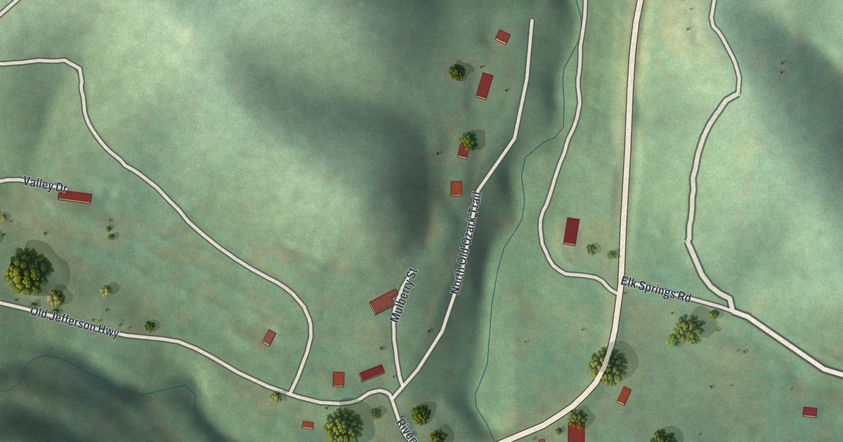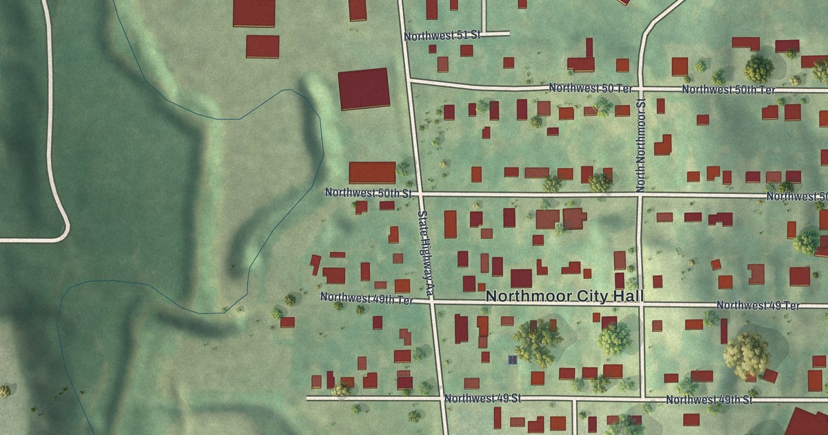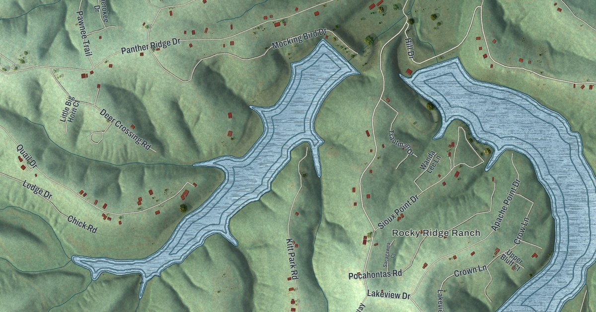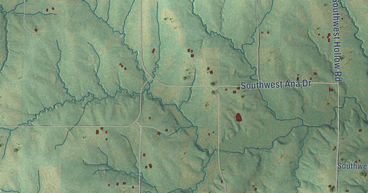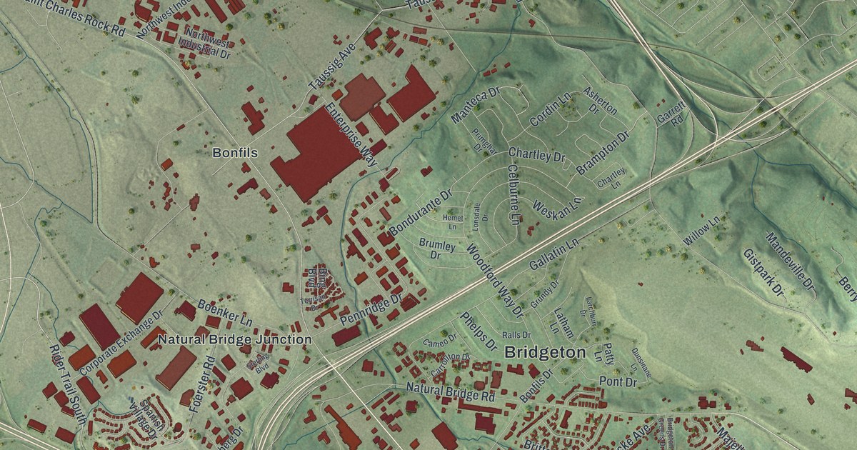
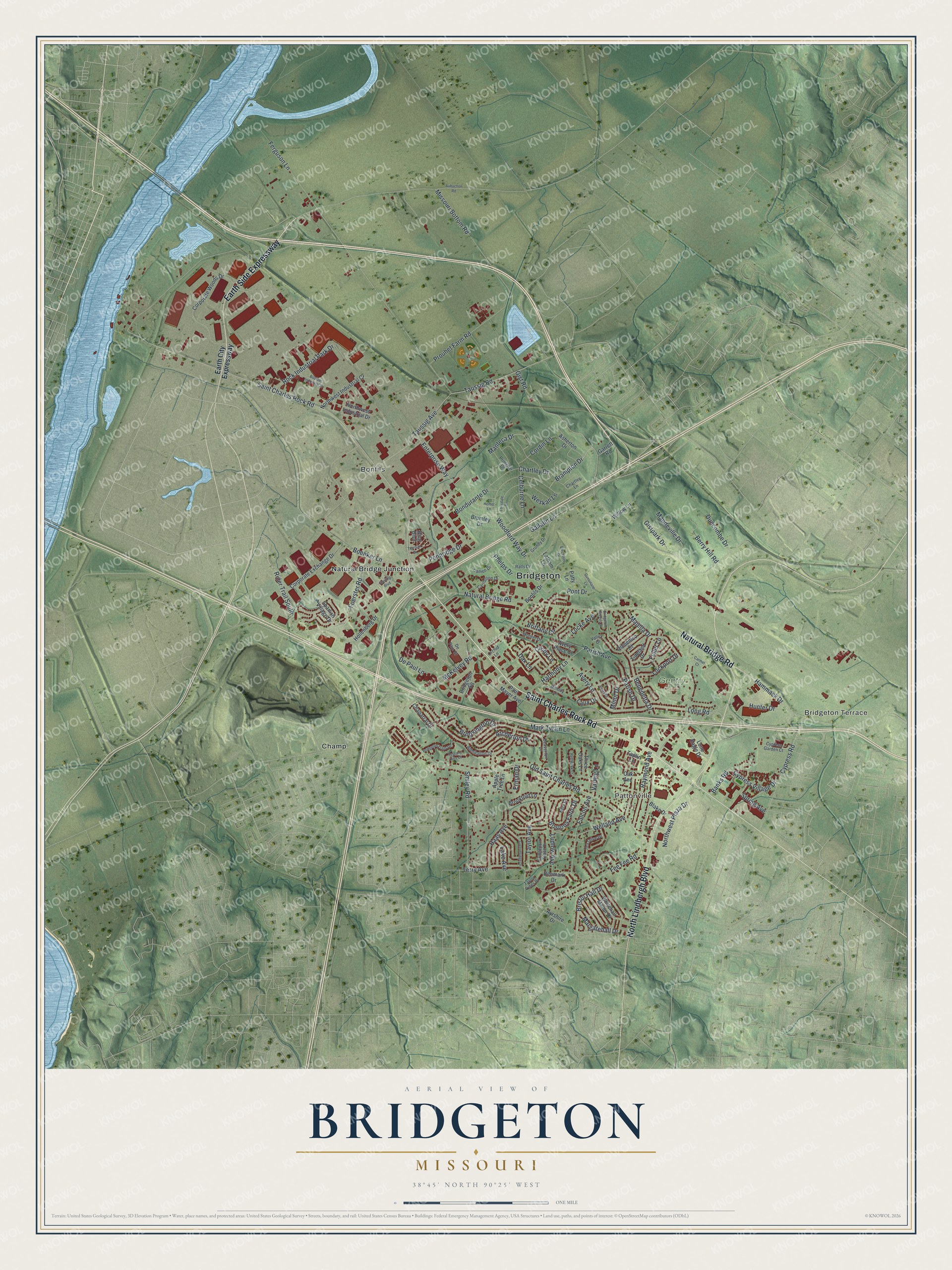
This beautifully detailed map of Bridgeton, Missouri was created in 2026 using aerial imagery combined with modern topographical, census, street and landmark data. It’s a one-of-a-kind view of Bridgeton that combines accurate data with a vintage aesthetic. The map shows every building in its true location, many of the roads carry their names, and the shaded topographic relief shows the shape of the land.
Explore an aerial view of Bridgeton, Missouri
On the map you’ll find Pattonville, Gentry Park, Bonfils, Champ, and Natural Bridge Junction, along with Bridgeton Terrace, Saint Charles Rock Road, North Lindbergh Boulevard, Natural Bridge Road, Earth Side Expressway, Rider Trail South, and more. If you look closely you can even find your house accurately drawn in its correct location. Zoom in on the preview to look for yours.
Did you know this piece of Bridgeton, Missouri history?
Bridgeton was first laid out in 1794 as Marais des Liards, French for Cottonwood Swamp. People also called it Village a Robert after its founder, Robert Owen. The Spanish government had granted Owen his land. As English-speaking settlers arrived, the village became known as Owen’s Station.
Take a closer look at the Bridgeton map
Street and place names on the Bridgeton, Missouri map
These names are printed on the map of Bridgeton, Missouri.
Places: Bridgeton, Bridgeton Terrace, Pattonville, Gentry Park, Bonfils, Champ and Natural Bridge Junction.
Streets and roads: Saint Charles Rock Road, North Lindbergh Boulevard, Natural Bridge Road, Earth Side Expressway, Fee Fee Road, Rider Trail South, Long Road, Missouri Bottom Road, Old Saint Charles Road, Ferguson Lane, Gist Road, Taussig Avenue.
More street names, A to Z
Admiralton Drive, Apple Tree Lane, Archerton Drive, Asherton Drive, Aubuchon Road, Avery Lane, Avery Place Court, Ayrshire Drive, Banks Road, Beaverton Drive, Benedetta Drive, Berry Hill Road, Bing Boulevard, Blake Drive, Boenker Lane, Bondurante Drive, Bonfils Drive, Bostons Farm Drive, Boulder Industrial Drive, Brampton Drive, Bridgeport Place Drive, Bridgeton Greens Drive, Bridgeton Square, Bridgeton Trails Drive, Bristol Hall Drive, Brittany Circle, Brookford Lane, Brookington Drive, Brumley Drive, Cameo Drive, Carmel Court, Carrollton Drive, Celburne Lane, Chaparral Drive, Chartley Drive, Chartley Lane, Clichy Lane, Cordin Lane, Corporate Exchange Drive, Corporate Woods Drive, Cypress Garden Court, Cypress Road, Cypress Village Drive, Dax Lane, Denmark Drive, De Paul Drive, De Paul Lane, Domenico Court, Duncombe Drive, Dunsinane Lane, Earth City Expressway, Enterprise Way, Erman Drive, Falcon Avenue, Foerster Road, Fuller Lane, Gallatin Lane, Garrett Road, Gistpark Drive, Greenbridge Drive, Grundy Drive, Haas Avenue, Hammack Drive, Harmony Lane, Hemet Lane, Hollenberg Drive, Hunter Drive, Lake Avenue, Larchburr Drive, Latham Lane, Laux Drive, Locke Avenue, Lockport Drive, Lone Eagle Drive, Lonsdale Drive, Ludlow Avenue, Majella Drive, Mandeville Drive, Manteca Drive, Margatehall Drive, Mark Twain Lane, McKelvey Road, Melody Lane, Minot Drive, Monter Drive, Nora Court, Northwest Industrial Court, Northwest Industrial Drive, Northwest Plaza Drive, Oak Avenue, Orchid Lane, Parish Avenue, Parish Drive, Patty Lane, Paul Mayer Avenue, Pennridge Drive, Phelps Drive, Pont Drive, Primghar Drive, Prouhet Farm Road, Ralls Drive, Raymond Avenue, Red Hawk Court, Relay Drive, Rock Industrial Park Drive, Smiley Road, Spanish Village Drive, Spring Avenue, Sterling Boulevard, Taplin Lane, Taussig Road, Taylor Avenue, Taylor Pines Drive, Tea Olive Drive, Terrisan Drive, Terry Avenue, Three Oaks Lane, Tideland Drive, Tuscany Hills Court, Valley Drive, Varwig Lane, Welland Avenue, Weskan Lane, Whitehall Manor Drive, Willow Lane, Woodford Way Drive.
See the Bridgeton, Missouri map on a wall
The Bridgeton map as an 18 x 24 inch print in a black frame.

This beautifully detailed map of Bridgeton makes an attractive addition to your office, library, or den, and it can even be used to teach children the geography and history of the area. It also makes a great gift for someone who left Bridgeton and still calls it home. When you’re done exploring, click here to get your copy of the Bridgeton map.