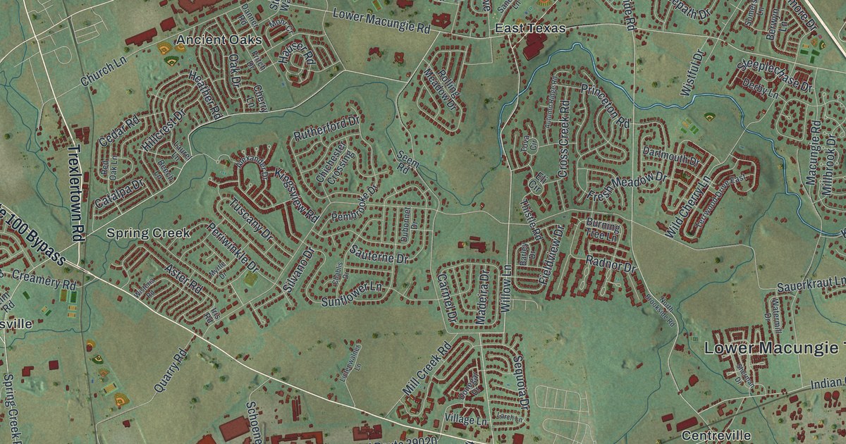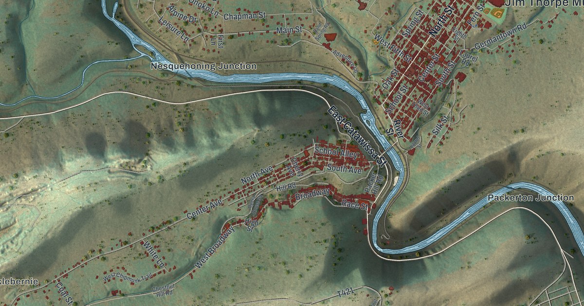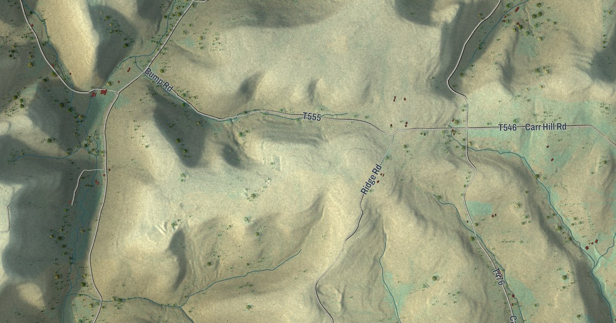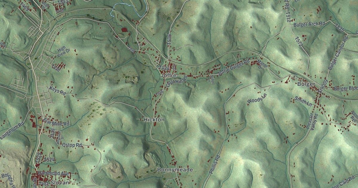
If you grew up in Smith Township, look for your home among these hills. This modern aerial view of Smith in Washington County, Pennsylvania pairs modern data with a vintage feel. Green ridges fill the print, with red buildings gathered in the valleys. You'll find familiar names like Bulger, Slovan, and Atlasburg among the roads and streams.
Bulger and the Railroad Through Smith
On this map you'll find Smith Township State Road, Joffre Bulger Road, Bulger Arch Road, Langeloth Road, Atlasburg Road, Bulger, Slovan, Langeloth, Atlasburg, Joffre, Bavington, Cherry Valley, and more. Each red shape is a building, so zoom in on the preview and look for yours.
Bulger's story includes a village and a nearby train station. The 1871 History of Washington County describes Bulger as a small village near Bulger station. It also records the Pittsburg and Steubenville Railroad passing through Smith Township. The same account places Bulger about three miles east of Burgettstown. On this print, you can find Bulger among the red buildings and green hills. Bulger Arch Road and Joffre Bulger Road carry that familiar name, too.
Keep Bulger and Slovan Close
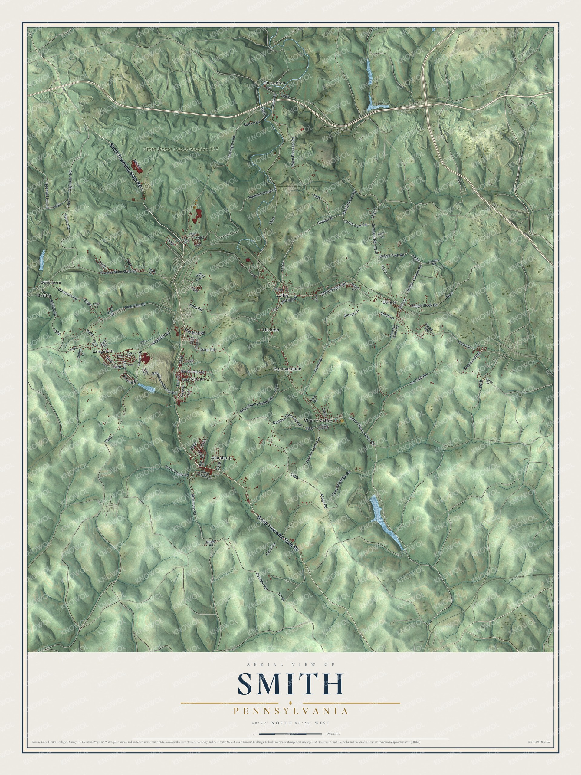
Created by KNOWOL in 2026, the print pairs shaded green hills with blue water and red building shapes. A cream border surrounds the view. The title panel reads AERIAL VIEW OF, SMITH, PENNSYLVANIA, with 40°22' NORTH 80°22' WEST below.
Hang it in a living room, home office, or entryway. It's a thoughtful gift for someone who grew up in Slovan and now lives far away. Open the preview to take a closer look at the streets and hills around home. See sizes and frames for the Smith map.