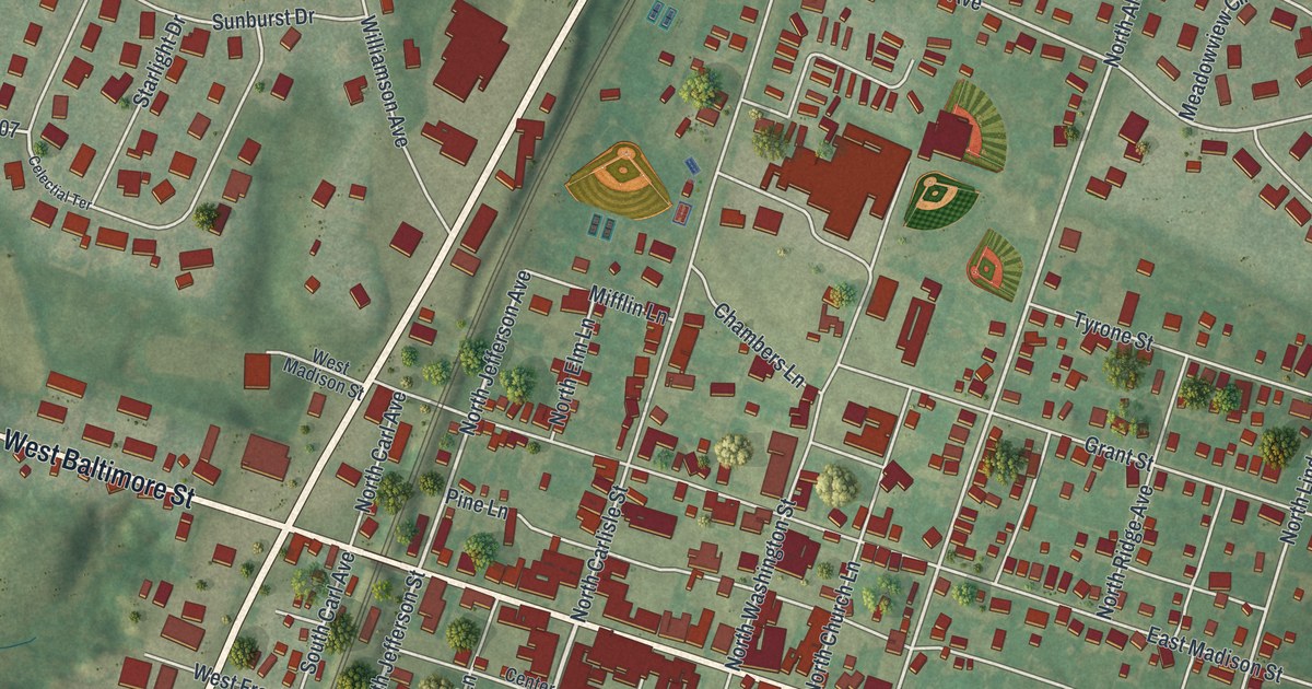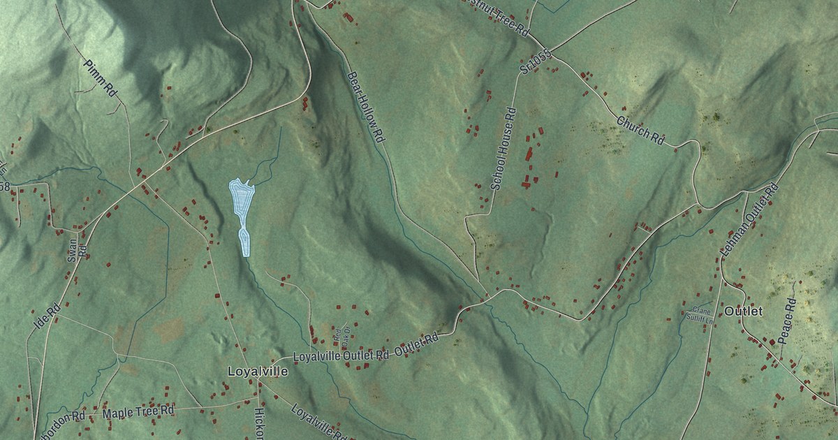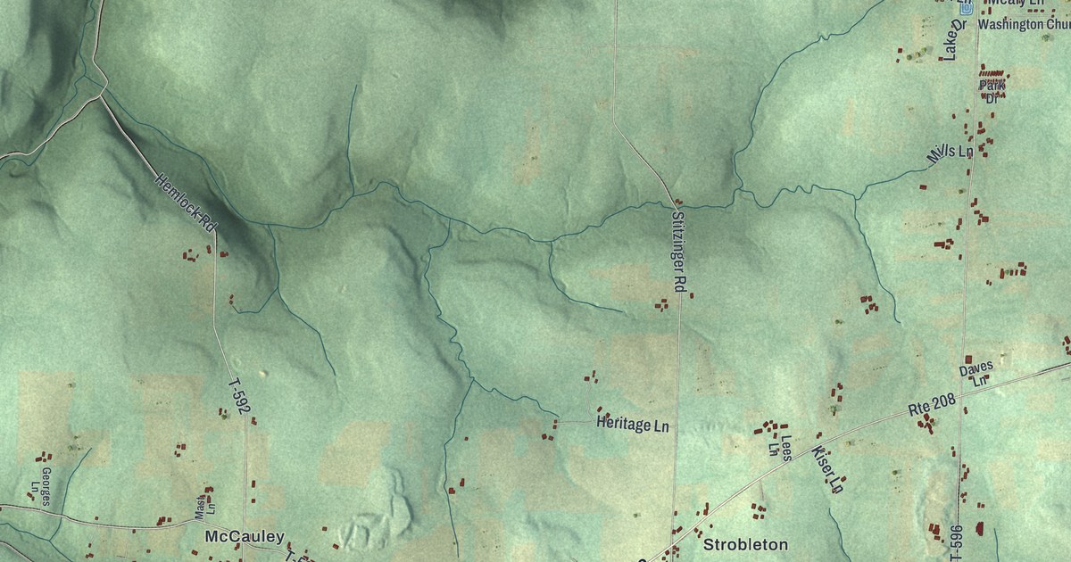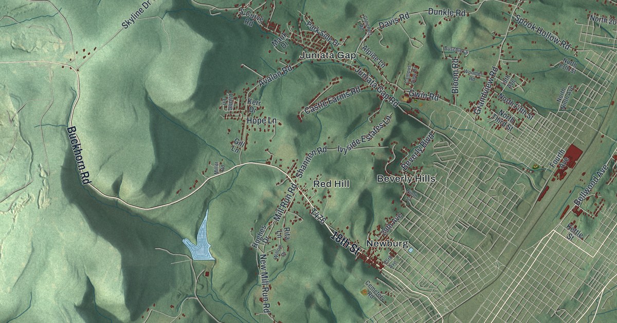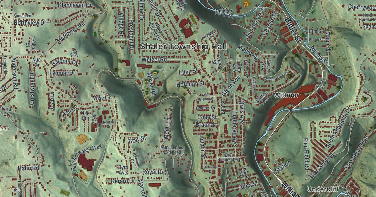
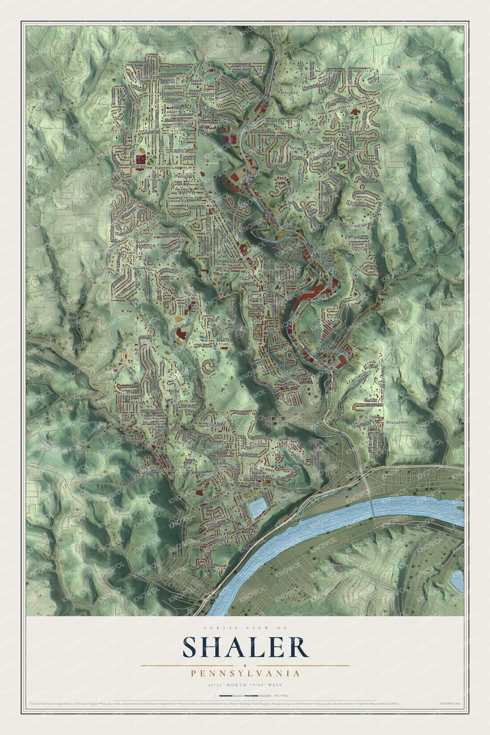
This beautifully detailed map of Shaler, Pennsylvania was created in 2026 using aerial imagery combined with modern topographical, census, street and landmark data. It’s a one-of-a-kind view of Shaler that combines accurate data with a vintage aesthetic. The map shows every building in its true location, many of the roads carry their names, and the shaded topographic relief shows the shape of the land.
Explore an aerial view of Shaler, Pennsylvania
On the map you’ll find Shaler Township Hall, Elfinwild, Sharpe Hill, Cherry City, Beth Shalom Cemetery, Fall Run Park, Mount Royal Cemetery, Bauerstown, Glenshaw, Undercliff, and Wittmer, along with William Flynn Highway, and more. If you look closely you can even find your house accurately drawn in its correct location. Zoom in on the preview to look for yours.
Did you know this piece of Shaler, Pennsylvania history?
From the 1889 History of Allegheny County, Pennsylvania: "March 20, 1847, the new township as thus recommended was confirmed by decree of court under the name of Marion; but on the same day the name was changed to Shaler."
Take a closer look at the Shaler map
Street and place names on the Shaler, Pennsylvania map
These names are printed on the map of Shaler, Pennsylvania.
Places: Shaler Township Hall, Elfinwild, Sharpe Hill, Cherry City, Beth Shalom Cemetery, Fall Run Park, Mount Royal Cemetery, Bauerstown, Glenshaw, Undercliff and Wittmer.
Streets and roads: William Flynn Highway, Butler Street, Evergreen Avenue, Seavey Road, Mount Royal Boulevard, Wible Run Road, Anderson Road, Middle Road, Little Pine Creek Road, Burchfield Road, Elfinwild Road, Vilsack Road.
More street names, A to Z
Ada Drive, Adele Avenue, Albine Drive, Aleta Street, Alma Street, Andrew Drive, Angeline Drive, Arden Drive, Ash Drive, Aurelia Drive, Autumnwood Drive, Babcock Boulevard, Badali Street, Balsam Drive, Barbour Drive, Barrington Drive, Bartsch Lane, Bayhill Drive, Beech Street, Belladonna Drive, Bernice Drive, Bethany Drive, Birch Avenue, Bismark Street, Bleil Drive, Bluestone Drive, Braun Street, Bray Street, Bridle Road, Brunton Drive, Butler Plank Road, Butterfield Avenue, Byrd Avenue, Cambria Point Street, Carlisle Drive, Carol Lane, Casey Drive, Centre Avenue, Chapel Ridge Road, Charles Street, Cherrywood Drive, Church Avenue, Clare Street, Claridge Drive, Clearview Drive, Clifton Avenue, College Park Road, Colony Oaks Drive, Countryside Drive, Crest Lane, Crestwood Drive, Danube Drive, Davis Avenue, Deerwood Drive, Dehaven Avenue, Dehaven Court, Delaware Drive, Dewey Avenue, Dolores Drive, Donald Avenue, Dressel Road, Eade Avenue, East Street, East Sutter Road, East Undercliff Street, Edison Street, Eighth Avenue, Elbe Drive, Elfinwild Lane, Elizabeth Street, Ella Street, Ellen Street, Elm Avenue, Elm Street, Elmwood Drive, Emma Drive, Etna Avenue, Fall Run Road, Felicity Avenue, Fenway Road, Fernledge Drive, Fied Field Road, Fieldcrest Drive, Fieldstone Drive, Fir Drive, Fischer Avenue, Flint Road, Forest Avenue, Forliview Road, Foundry Street, Foxfield Drive, Fox Meadows Court, Friday Road, Garden Place, Georgia Drive, Gerard Drive, Geyer Road, Geyer Road Extended, Glenhaven Drive, Glenn Avenue, Glen Scott Drive, Glenshaw Avenue, Governor Drive, Grall Avenue, Grandview Avenue, Green Avenue, Greenfield Road, Greenhill Road, Grover Avenue, Hahn Road, Hamilton Avenue, Hartle Road, Hawthorne Road, Heather Drive, Heights Drive, Hemlock Drive, Herbst Drive, Herman Street, Herron Lane, Hieber Lane, Hieber Road, Highland Avenue, Highlander Heights Drive, High Street, Hilglor Drive, Hill Street, Hilltop Circle, Hillwood Road, Himber Street, Hiram Street, Hoffman Street, Holly Circle, Holly Ridge Drive, Hugel Drive, Ida Drive, Illinois Drive, Iola Avenue, Irene Street, Ivywood Drive, Jackson Street, James Street, Jane Avenue, Jo Alyce Drive, Joan Drive, Jordan Lane, Karcher Drive, Kay Street, Kenneth Drive, Kimble Drive, Kittanning Street, Kleber Road, Klir Road, Koehler Street, Lakeside Drive, Lammert Drive, Laurel Drive, Laurel Hill Road, Laurelwood Drive, Ledgeview Drive, Lehr Avenue, Leo Road, Lily Drive, Limestone Drive, Lincoln Avenue, Lindbergh Avenue, Lindenwood Drive, Locust Ridge Drive, Lohengrin Drive, Loire Valley Drive, Louann Street, Lucille Street, Lupine Drive, Lynmar Drive, Madsen Drive, Manuel Drive, Maple Avenue, Maple Street, Maplewood Road, Margaret Street, Marian Avenue, Marie Avenue, Martha Avenue, Mary Ann Drive, Mary Avenue, Maryland Drive, Marzolf Road, Marzolf Road Extended, McElheny Road, Meadow Road, Meier Lane, Meyeridge Road, Meyer Road, Mica Drive, Moonstone Drive, Morewood Road, Mount Ivy Lane, Mount Vernon Drive, Nill Street, Northaven Circle, North Spruce Drive, Northview Drive, Oak Avenue, Oakwood Street, Old Butler Plank Road, Old Soose Road, Orchard Avenue, Orvis Avenue, Otterbein Drive, Pamela Drive, Park Circle Drive, Parker Street, Park Lane, Park Street, Parma Drive, Paul Schweiger Way, Perlick Street, Perry Street, Peters Drive, Phillips Avenue, Pictwood Drive, Pine Oak Drive, Pinewood Lane, Pin Oak Drive, Pitner Drive, Ponderosa Drive, Poplar Drive, President Drive, Rangley Drive, Redstone Drive, Reese Avenue, Regina Street, Richard Drive, Richter Drive, Ridge Avenue, Ridgeview Circle, Riviera Drive, Rolling Farms Road, Rosebriar Drive, Rose Drive, Royal Drive, Rutgers Drive, Ruth Drive, Sandy Drive, Sapling Drive, Sarah Street, Saxonburg Boulevard, Schar Street, Schwartz Avenue, Scobbo Drive, Scott Avenue, Seel Street, Shafer Road, Shaler Avenue, Shaler Drive, Sharps Hill Road, Shirehill Drive, Shoreham Drive, Short Street, Silver Reel Avenue, Skylark Drive, Soose Road, South Magnolia Drive, South Park Avenue, South Road, Spencer Lane, Spencer Lane Extended, Spencer Woods Drive, Spruce Drive, Station, Stevens Drive, Stoneridge Drive, Stonington Drive, Summit Street, Sundale Drive, Sunnyfield Drive, Sunset Lane, Sutter Road, Tamarack Drive, Tannen Drive, Tara Drive, Tartline Drive, Thompson Road, Thompson Run Road, Tillia Street, Topaz Drive, Upland Street, Valley Street, Venango Avenue, Venice Drive, Verden Court, Verna Drive, Victory Drive, Viennese Drive, Village Road, Virginia Avenue, Vollmer Drive, Wallace Road, Walters Avenue, Weaver Drive, West Glenn Avenue, Westminster Place, West Pennview Avenue, West Road, West Shaw Place, Wetzel Road, Willett Road, Willow Street, Willruth Drive, Winterset Drive, Wise Lane, Wood Avenue, Woodland Avenue, Woodland Road, Woodside Road, Wooster Drive, Wynne Street, Zeno Lane, Zeuger Street.
See the Shaler, Pennsylvania map on a wall
The Shaler map as an 18 x 24 inch print in a black frame.

This beautifully detailed map of Shaler makes an attractive addition to your office, library, or den, and it can even be used to teach children the geography and history of the area. It also makes a great gift for anyone who grew up in Shaler or moved away. When you’re done exploring, click here to get your copy of the Shaler map.