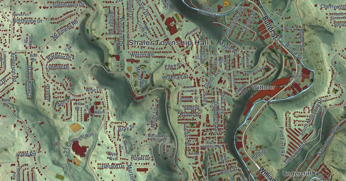
If you grew up in Shaler, look for your old neighborhood on this print. It's a modern aerial view of Shaler in Allegheny County, Pennsylvania, made with modern data and a vintage feel. Red buildings fill the folds of green hills. Glenshaw, Elfinwild and Cherry City appear by name.
Glenshaw and Mount Royal Boulevard
On this map you'll find Mount Royal Boulevard, William Flynn Highway, Shaler Township Hall, Glenshaw, Elfinwild, Cherry City, Bauerstown, Undercliff, Seavey Road, Wible Run Road, Burchfield Road, Fall Run Park, and more. Each red shape is a building, so zoom in on the preview and look for yours.
Mount Royal Boulevard also has a place in Shaler's historic record. The National Register lists the Isaac Lightner House at 2407 Mount Royal Boulevard. The house was added in April 1978. Find the boulevard's printed name as you browse the map's streets and buildings. It's a familiar Shaler road with a recognized piece of local history along it.
Keep Glenshaw and Elfinwild close
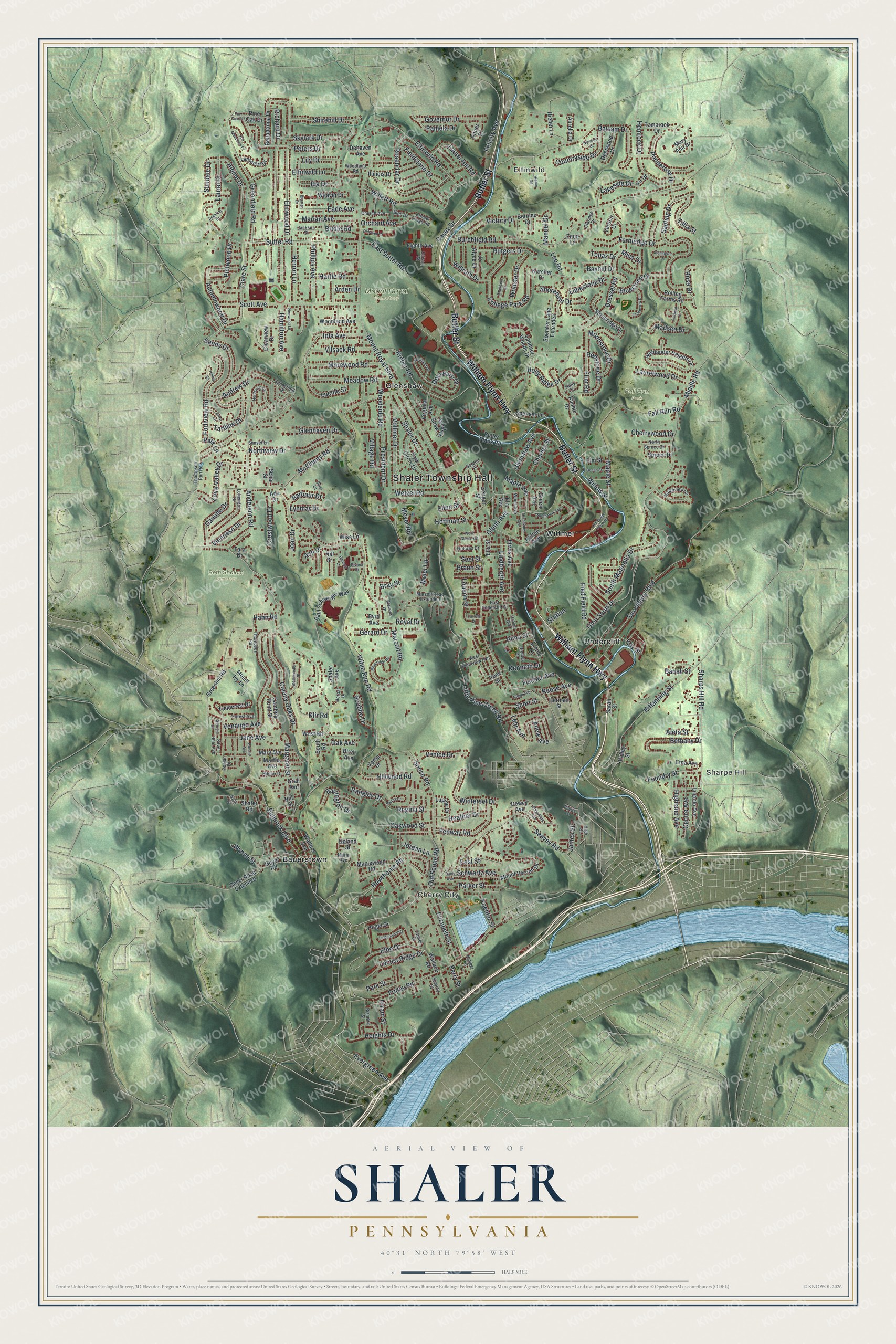
Created by KNOWOL in 2026, the print pairs shaded green hills with red buildings and blue water. A cream border surrounds the view. The title panel reads AERIAL VIEW OF, SHALER, PENNSYLVANIA, with 40°31' NORTH 79°58' WEST beneath it.
Hang it in a living room, office or entryway. It's a thoughtful gift for someone who grew up in Glenshaw and moved away. Open the preview to look for a familiar street and the buildings around it. See sizes and frames for the Shaler map.