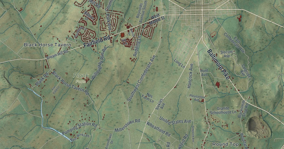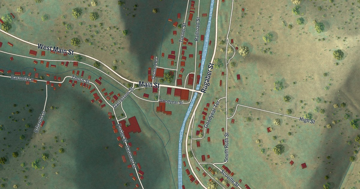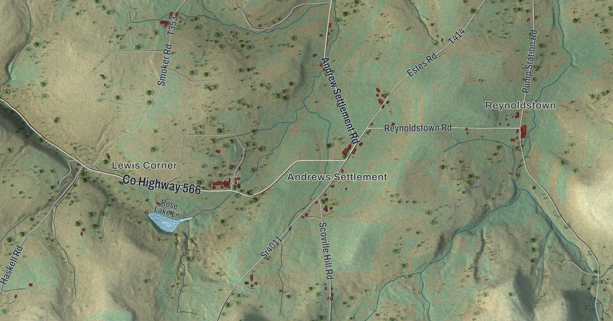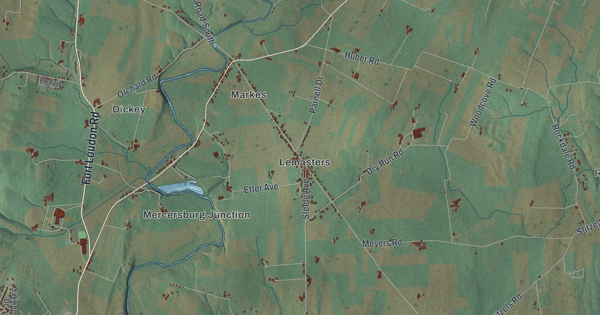
If you grew up around Fort Loudon or Lemasters, drive Lincoln Way West to work, or have family on a farm near Upton, this map gives you plenty to find. It's a modern aerial view of Peters Township in Franklin County, Pennsylvania, drawn from modern data with a vintage artistic feel. Long mountain ridges run down the left side in shaded green. Farm fields and small villages fill the valley to the right. Each building is a small red shape.
Fort Loudon, Lemasters, Upton and Cove Gap
On this map you'll find Fort Loudon, Lemasters, Upton, Cove Gap, Markes, Charlestown, Church Hill, Rockdale, Fort Loudon Road, Mercersburg Road, Lemar Road, Lincoln Way West, Buchanan Trail West, Warm Spring Road, Buchanan State Forest, and more. Each red shape is a building, so zoom in on the preview and look for yours.
James Buchanan was born near Cove Gap in 1791
Peters Township is the birthplace of a president. James Buchanan, the 15th President of the United States, was born on April 23, 1791, at a place called Stony Batter near Cove Gap. The state historical marker at Cove Gap says he was born a half-mile from where it stands. His family's log cabin has moved three times since. It went to Mercersburg in 1850 and to Chambersburg in 1925. In 1953 it was moved to the Mercersburg Academy campus, where it can still be seen. Buchanan lived in Mercersburg from 1796 to 1807. He kept land in the township long after he left. An 1887 county history says Henry Black's farm near Lemasters, 247 acres, was the one once owned by President James Buchanan. On the map, look for Cove Gap on the left side, where Buchanan Trail West comes down out of the mountains. Stoney Batter Road is printed close by, and the Buchanan State Forest label sits in the hills above it.
Fort Loudon and the Black Boys of 1765
Fort Loudon, at the top of the map, is older than the president. The fort was built in 1756 by Pennsylvania's provincial government, and Forbes' expedition to take Fort Duquesne started here in 1758. Then in 1765, settlers led by James Smith, known as the Black Boys, fell out with the British troops at the fort. Indian attacks were still fresh, and the settlers didn't want trade goods going west. They stopped British supply shipments on the road. A state historical marker at the site says the trouble began at the Widow Barr's house, near Fort Loudon Road south of the village, where soldiers from the fort wounded a settler named James Brown. That same year, Smith's men forced the British garrison to leave Fort Loudon. Many people call it the first armed resistance to British rule. Today the village of Fort Loudon sits near the top of the map, where Main Street meets Bear Valley Road and Mill Street.
For someone who grew up along Fort Loudon Road
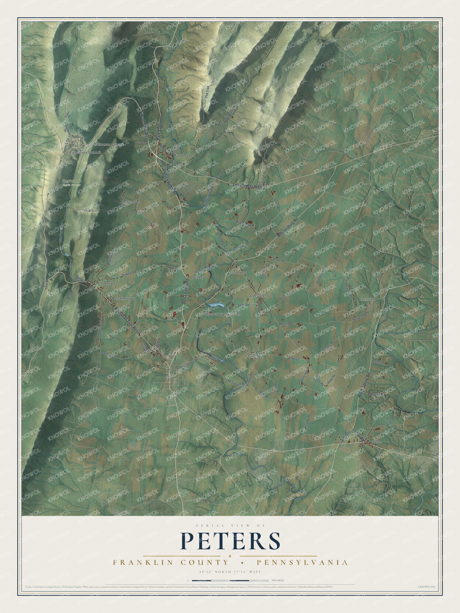
Created by KNOWOL in 2026, this Peters map shows long mountain ridges in shaded green along the left side, with farm valleys and red buildings spreading out to the east. The shaded hills come from USGS elevation data. The title panel reads "Aerial View of Peters, Franklin County, Pennsylvania" with the coordinates 39°52' North, 77°54' West and a two-mile scale bar.
It suits a farmhouse kitchen, a den or a hunting camp wall. It's a thoughtful gift for someone who grew up in Fort Loudon or Lemasters, or who has family near Cove Gap, especially if they've moved away. Open the preview, zoom in and find the road you know. See sizes and frames for the Peters, Franklin County map.