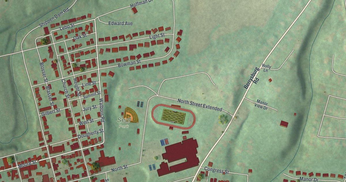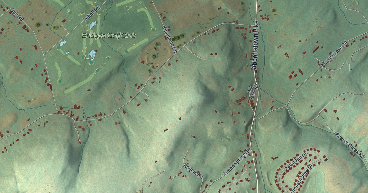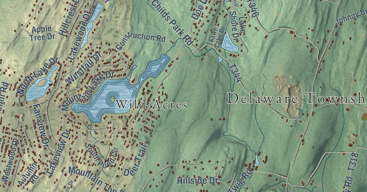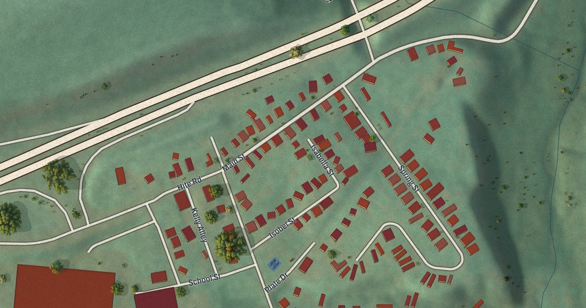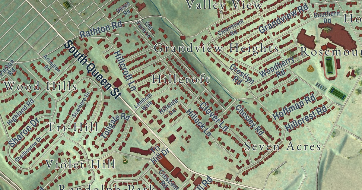
This beautifully detailed map of Spring Garden, York County, Pennsylvania was created in 2026 using aerial imagery combined with modern topographical, census, street and landmark data. It’s a one-of-a-kind view of Spring Garden that combines accurate data with a vintage aesthetic. The map shows every building in its true location, many of the roads carry their names, and the shaded topographic relief shows the shape of the land.
Explore an aerial view of Spring Garden, York County, Pennsylvania
On the map you’ll find Mount Rose Cemetery, Reservoir Park, Beverly Hills, Elmwood, Farquhar Estates, Grandview Heights, Grantley, Grantly Hills, Green Hill, Hillcrest, Hillcroft, Hollywood Heights, and more. If you look closely you can even find your house accurately drawn in its correct location. Zoom in on the preview to look for yours.
Did you know this piece of Spring Garden, York County, Pennsylvania history?
On February 2, 1998, a huge explosion struck the York International plant in Spring Garden Township. A spark lit a leak near the propane storage house. The blast was felt 25 miles away. About 20 people were hurt and one was killed, a low toll because it came at a shift change.
Take a closer look at the Spring Garden, York County map
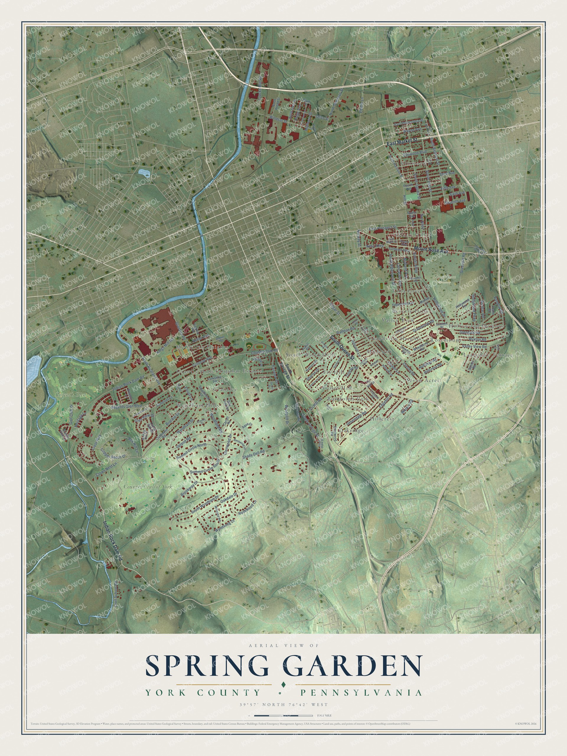
Street and place names on the Spring Garden, York County, Pennsylvania map
These names are printed on the map of Spring Garden, York County, Pennsylvania.
Places: Mount Rose Cemetery, Reservoir Park, Seven Acres, Elmwood, South Wood Hills, Leafydale Terrace, Oakridge, Valley View, Wyndham Hills, Randolph Park, McClellan Heights, Villa Green, Green Hill, Grandview Heights, Farquhar Estates, Violet Hill, Hollywood Heights, Grantley, Hillcroft, Hillcrest, Beverly Hills, Grantly Hills, Rosemount, Tri-Hill, Country Club of York and Regent's Glen.
Streets and roads: South Queen Street, East Market Street, Indian Rock Dam Road, Mount Rose Avenue, South Belmont Street, Seventh Avenue, South Yale Street, South Wyndham Drive, Rathton Road, Wyndham Drive, Grantley Road, Country Club Road.
More street names, A to Z
Aqua Court, Arlington Road, Bee Tree Road, Bonbar Road, Box Hill Lane, Breechin Lane, Brockie Drive, Brookway Drive, Butler Avenue, Carroll Road, Chesley Road, Clearmount Road, Clover Lane, Clubhouse Road, Colonial Avenue, Commerce Center Drive, Copper Beech Drive, Crescent Road, Crestlyn Road, Crest Way, Croll School Road, Crows Nest Lane, Devon Road, Dupont Avenue, East Maple Street, East Philadelphia Street, East Prospect Street, Eberts Lane, Edgar Street, Edgecomb Avenue, Edgehill Road, Elliott Lane, Elmwood Boulevard, Fairview Drive, Fifth Avenue, First Avenue, Fourth Avenue, Garnet Road, Glendale Road, Glen View Drive, Glenwood Drive, Golf Club Drive, Grandview Road, Grantley Court, Greendale Road, Greenhill Road, Heritage Lane, Highland Road, Hillcrest Road, Hillcroft Lane, Hillock Lane, Hillside Drive, Hillside Lane, Hill Street, Hoffman Road, Hollywood Drive, Hollywood Parkway, Hollywood Terrace, Hudson Street, Kentwood Lane, Kings Mill Road, Lambeth Walk, Lancaster Avenue, Laurel Oak Drive, Loucks Mill Road, Midland Avenue, Moffett Lane, Mulberry Street, Ness Alley, North Belmont Street, North Broad Street, North Franklin Street, North Sherman Street, North State Street, Norway Street, Oakdale Drive, Old Farm Lane, Olive Street, Peyton Road, Plum Street, Randow Road, Regents Glen Boulevard, Ridge Avenue, Roland Alley, Rosecroft Lane, Rosewood Lane, Ruxton Road, Scarboro Drive, Shady Dell Road, Sharon Drive, Shelbourne Drive, Sixth Avenue, Smallbrook Lane, Somerset Lane, South Albemarle Street, South Duke Street, Southern Road, South George Street, South Harrison Street, South Ogontz Street, South Richland Avenue, Spahn Avenue, Springdale Avenue, Spring Lane, Starcross Road, Stream View Lane, Summit Circle North, Summit Circle South, Summit Drive, Sun Alley, Sunbeam Alley, Sunset Alley, Sunset Lane, Third Avenue, Toann Road, Tollgate Road, Tri Hill Drive, Tri Hill Road, Upland Road, Valley View Road, Verdan Court, Vicki Drive, Virginia Avenue, Waters Road, Wayne Avenue, Westwood Road, Windcliff Drive, Winding Oak Drive, Windsor Street, Witness Road, Woodberry Road, Woodland Road, Wyndsong Drive, Yorkshire Terrace.
See the Spring Garden, York County, Pennsylvania map on a wall
The Spring Garden, York County map as an 18 x 24 inch print in a black frame.

This beautifully detailed map of Spring Garden, York County makes an attractive addition to your office, library, or den, and it can even be used to teach children the geography and history of the area. It also makes a great gift for anyone who grew up in Spring Garden or moved away. When you’re done exploring, click here to get your copy of the Spring Garden, York County map.