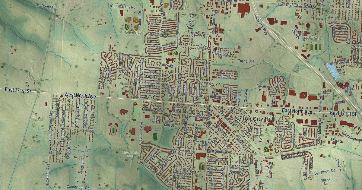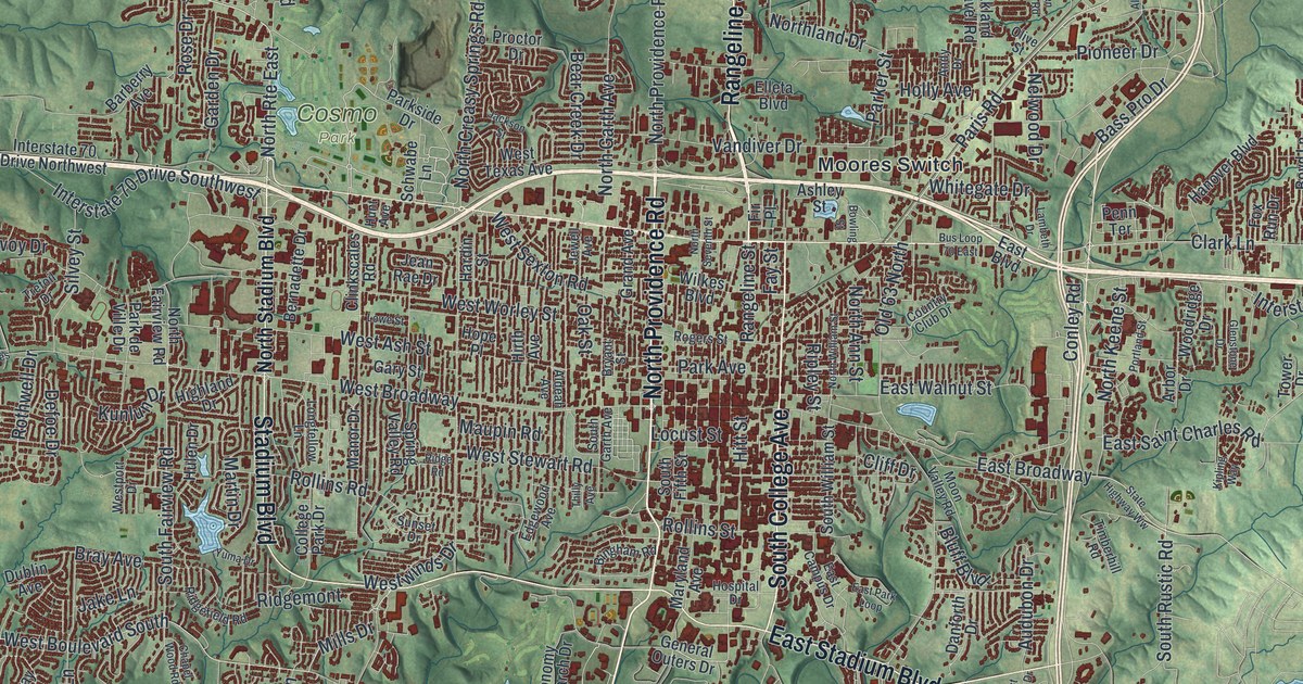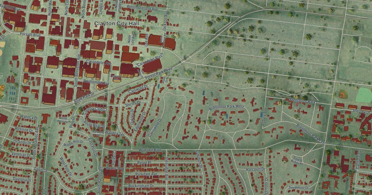
If you grew up in Clayton, this print gives you familiar streets to find again. It's a modern aerial view made with modern data and a vintage feel, showing Clayton in St. Louis County, Missouri. Red buildings fill the downtown blocks and line the curved neighborhood streets. Green parks break up the rows of homes.
How Ralph Clayton gave the town its name
On this map you'll find Forsyth Boulevard, Clayton Road, Wydown Boulevard, Maryland Avenue, South Hanley Road, De Mun Avenue, Carondelet Plaza, North Meramec Avenue, Clayton City Hall, Shaw Park, Oak Knoll Park, and more. Each red shape is a building, so zoom in on the preview and look for yours.
Clayton's name comes from a gift of land. The historic Ramsay Place Names File says Ralph Clayton gave 100 acres of his farm for the new county seat. The town took his name. On this print, the Clayton City Hall label gives you a familiar place to start. Look around it for the downtown blocks, then find the streets you know.
Keep Clayton and Shaw Park close
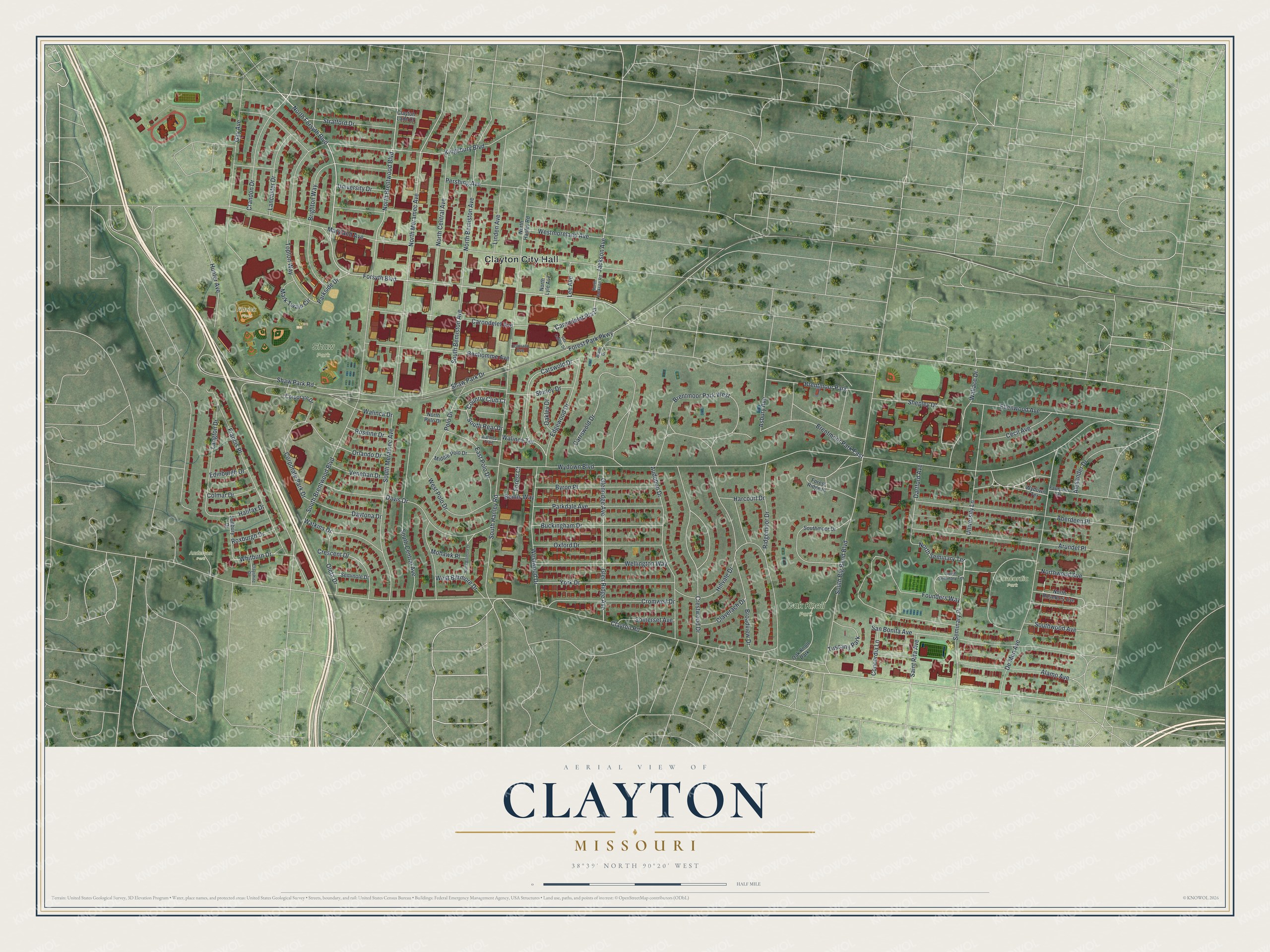
Created by KNOWOL in 2026, the print pairs muted green land with red buildings and pale roads. A cream border surrounds the view. The title panel reads AERIAL VIEW OF CLAYTON, MISSOURI, with 38°39' NORTH 90°20' WEST below.
Hang it in a living room, office, or entryway. It's a thoughtful gift for someone who grew up near Shaw Park or moved away from Clayton. Open the preview to find their old street and take a closer look at home. See sizes and frames for the Clayton map.