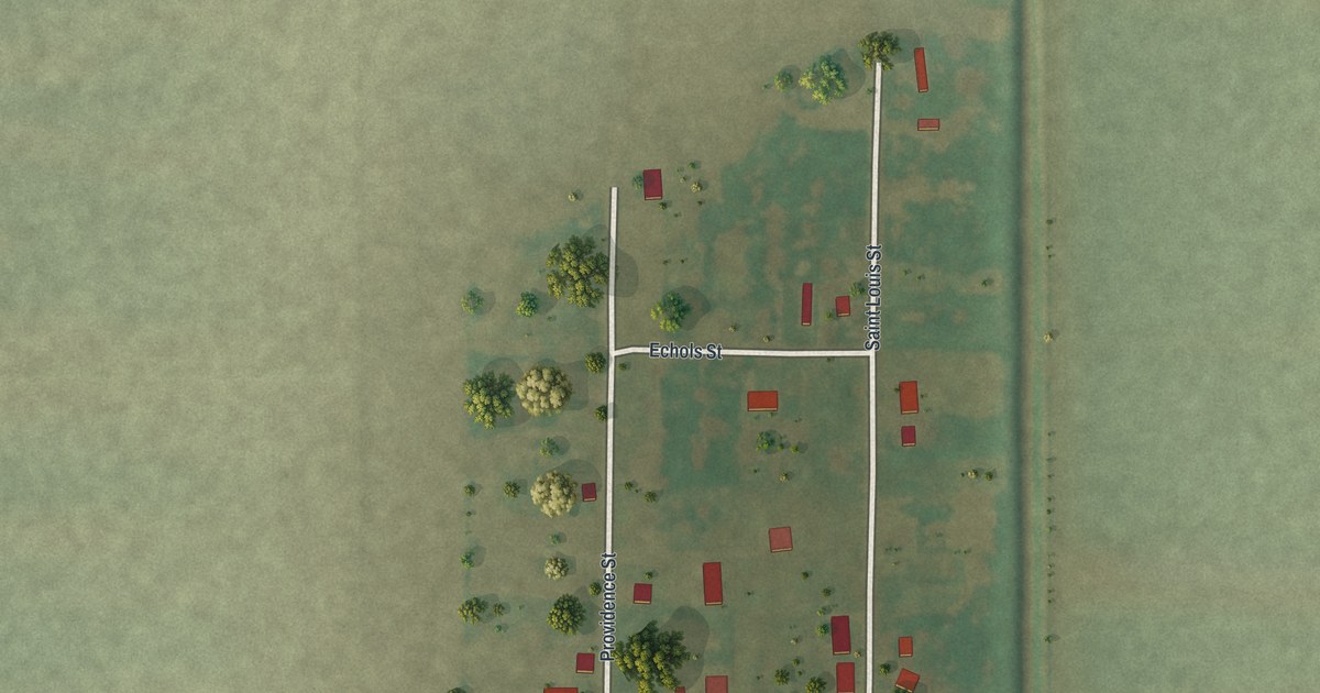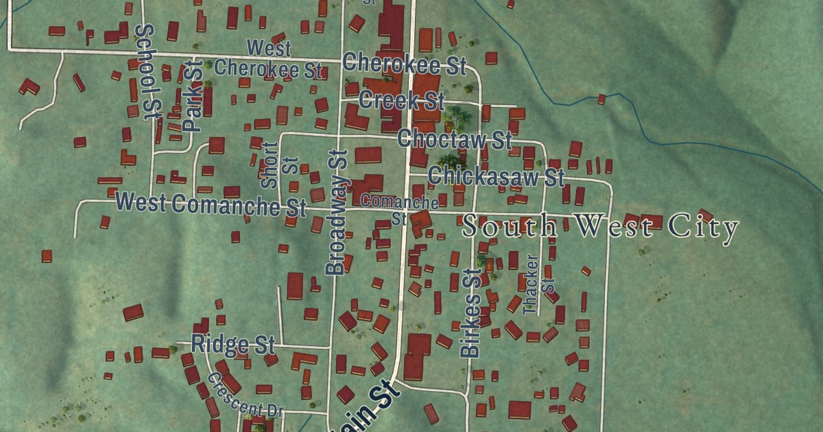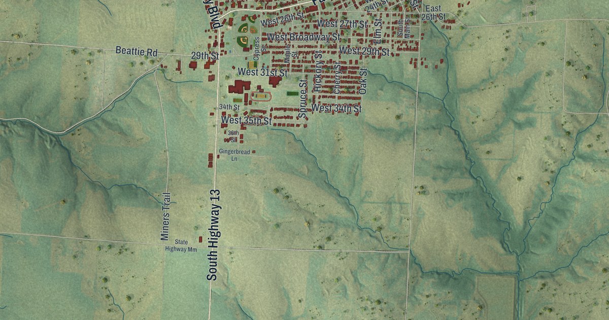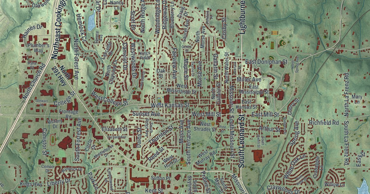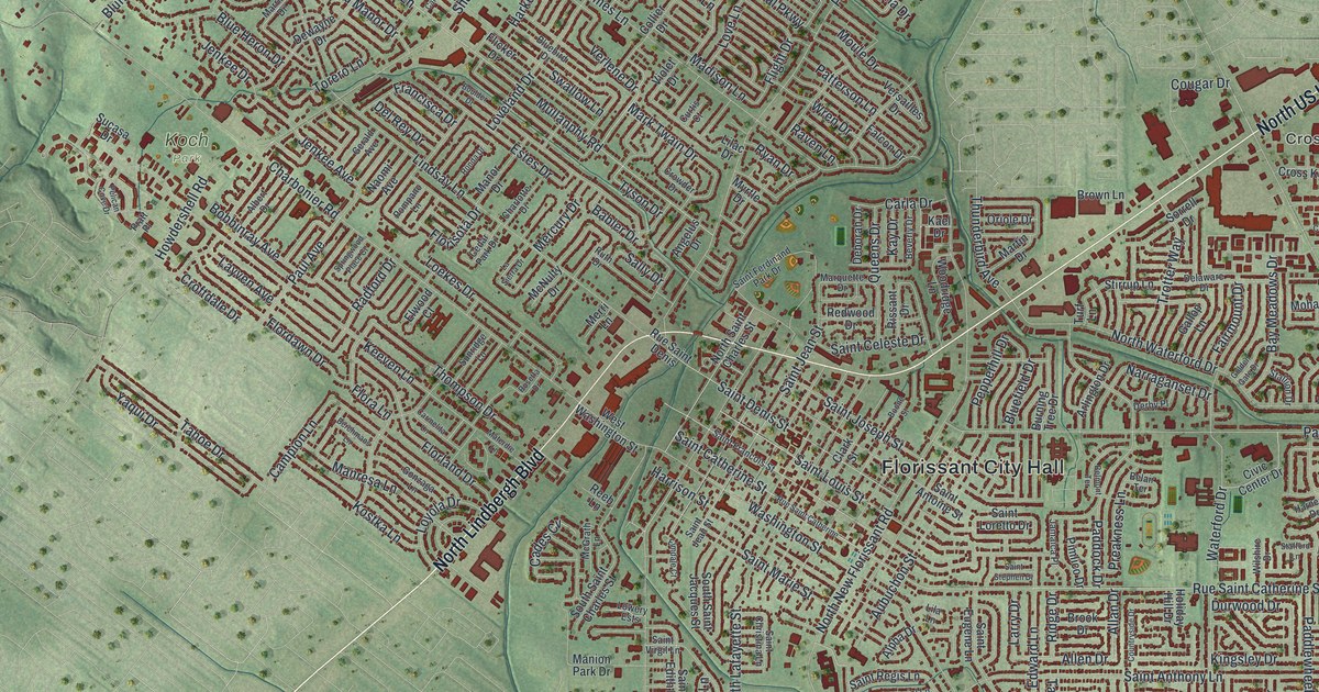
This beautifully detailed map of Florissant, Missouri was created in 2026 using aerial imagery combined with modern topographical, census, street and landmark data. It’s a one-of-a-kind view of Florissant that combines accurate data with a vintage aesthetic. The map shows every building in its true location, many of the roads carry their names, and the shaded topographic relief shows the shape of the land.
Explore an aerial view of Florissant, Missouri
On the map you’ll find Florissant City Hall, Cross Keys, Dunegant Park, Koch Park, and Sunset Park, along with North US Highway 67, North Lindbergh Boulevard, Dunn Road, Rancho Lane, Parker Road, Millstone Drive, Steed Drive, and more. If you look closely you can even find your house accurately drawn in its correct location. Zoom in on the preview to look for yours.
Did you know this piece of Florissant, Missouri history?
From the 1941 Missouri, a Guide to the Show Me State: "Named Florissant (flowering) by its first French settlers, and called St. Ferdinand by Spanish authorities, the village was known as St. Ferdinand de Florissant until 1939, when it officially became Florissant."
Take a closer look at the Florissant map
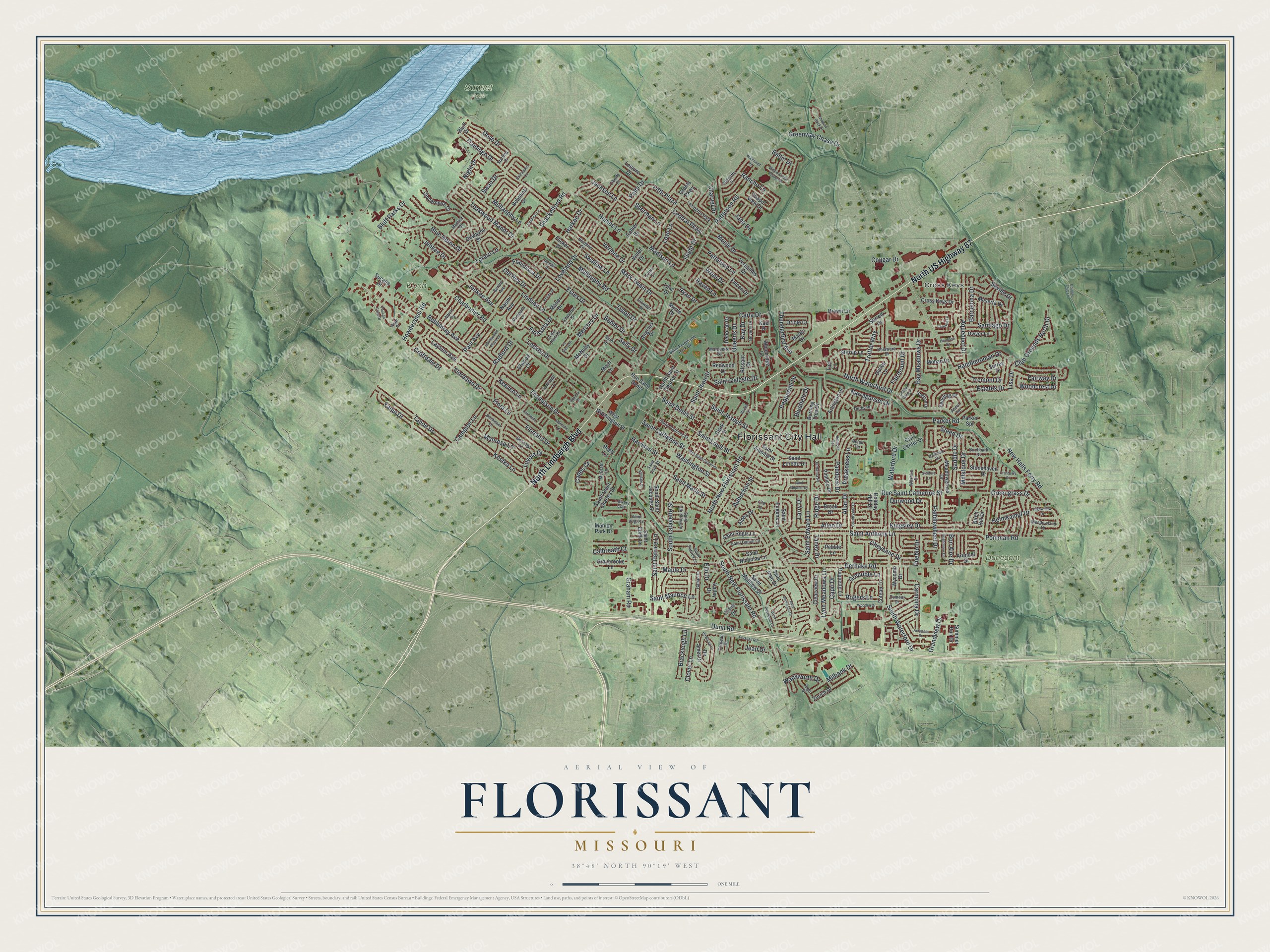
Street and place names on the Florissant, Missouri map
These names are printed on the map of Florissant, Missouri.
Places: Florissant City Hall, Cross Keys, Dunegant Park, Koch Park, Sunset Park and Lexington Park.
Streets and roads: North US Highway 67, North Lindbergh Boulevard, Dunn Road, Rancho Lane, Parker Road, Millstone Drive, Steed Drive, Charbonier Road, New Halls Ferry Road, Derhake Road, Saint Catherine Street, Patterson Road.
More street names, A to Z
Acredale Drive, Albert Drive, Allan Drive, Allen Drive, Alpha Drive, Angelus Drive, Aqueduct Drive, Argo Drive, Arlington Drive, Arundel Drive, Ascot Terrace, Aubuchon Street, Babler Drive, Baltic Drive, Barcelona Drive, Bay Meadows Drive, Belair Terrace, Belmont Terrace, Berchmans Lane, Beverly Drive, Birchbark Drive, Birch Hill Drive, Bluebird Drive, Bluefield Drive, Blue Heron Drive, Bluff Drive, Bluff Parks Drive, Bobbinray Avenue, Bobolink Drive, Bon Aire Drive, Boone Street, Boulder Drive, Brackleigh Lane, Brightmoor Drive, Brook Drive, Brown Lane, Burning Tree Drive, Cades Cv, Calbreath Court, Campion Lane, Capri Drive, Cardinal Lane, Carefree Lane, Carla Drive, Carmelita Lane, Carmona Drive, Cedar Park Drive, Central Parkway, Chapel View Drive, Charlotte Drive, Charvel Drive, Chateau Drive, Cheyenne Drive, Chickadee Lane, Civic Center Drive, Claire Drive, Clark Street, Clearview Drive, Clover Lane, Clovermere Court, Club Grounds North Drive, Collier Drive, Coteau Lane, Cougar Drive, Country Club Lane, Countryside Drive, Cranberry Court, Croftdale Drive, Cross Keys Drive, Crowder Drive, Curtis Court, Deborah Drive, Delaware Drive, Del Rey Drive, Derby Place, De Smet Drive, Dewayne Drive, Dove Drive, Du Bourg Lane, Duquette Lane, Durwood Drive, Dwyer Lane, East Duchesne Drive, Elmdale Court, Elm Drive, Elwood Court, Estates Drive, Estes Drive, Fairmount Drive, Fairway Drive, Falcon Drive, Fifth Plaza, Flamingo Drive, Flicker Drive, Flight Drive, Flora Lane, Flordawn Drive, Florisota Drive, Florland Drive, Francisca Drive, Gahan Drive, Gallop Lane, Gerald Avenue, Golden Gate Drive, Gonzaga Lane, Graham Road, Grandview Drive, Grants Parkway, Graybrooke Lane, Greengrass Drive, Greenway Chase Drive, Grenoble Lane, Hambletonian Drive, Harkee Drive, Harness Drive, Harrison Street, Helmkampf Drive, Hermoso Drive, Highwillow Drive, Holiday Hill Drive, Howdershell Road, Humes Lane, Jackson Lane, Jamaica Place, Jana Drive, Jean Drive, Jenkee Avenue, Jenkee Drive, Kael Drive, Kay Drive, Keeven Lane, Kingsley Drive, Kostka Lane, Larry Drive, La Sierra Drive, Layven Avenue, Leisure Drive, Liberty Drive, Lilac Drive, Lila Lane, Lindsay Lane, Lisa Drive, Loekes Drive, Loveland Drive, Love Lane, Lowery Ests, Loyola Drive, Lynn Meadows Lane, Madison Lane, Manion Park Drive, Manor Drive, Manresa Lane, Maple Drive, Mark Twain Drive, Marquette Drive, Marrisa Drive, Martin Drive, Materdie Lane, McGrath Lane, McNulty Drive, Meadowgrass Drive, Meadowland Drive, Mercury Drive, Merri Lane, Meserta Drive, Milbank Drive, Mohan Drive, Moule Drive, Mullanphy Lane, Mullanphy Road, Myrtle Drive, Naomi Avenue, Narraganset Drive, Night Drive, North New Florissant Road, North Saint Charles Street, North Waterford Drive, Oriole Drive, Ozment Drive, Paddlewheel Drive, Paddock Drive, Palm Drive, Parker Spr, Patterson Lane, Paul Avenue, Pebble Lane, Pelican Cove Drive, Pepperhill Drive, Pershall Road, Pimlico Drive, Pohlman Road, Pompano Lane, Pratt Place, Preakness Lane, Pueblo Drive, Queens Drive, Radcliffe Drive, Radford Drive, Raven Lane, Redwood Drive, Reeb Lane, Ridge Drive, Rissant Drive, Rogers Lane, Ronda Drive, Rosetta Drive, Rue Saint Catherine, Rue Saint Catherine Street, Rue Saint Denis, Ruth Drive, Ryan Drive, Saddle Drive, Saint Anthony Lane, Saint Antoine Street, Saint Celeste Drive, Saint Christina Lane, Saint Daniel Lane, Saint Denis Street, Saint Edith Lane, Saint Edward Lane, Saint Eugene Lane, Saint Ferdinand Park Drive, Saint Francois Street, Saint Jean Street, Saint Joan Drive, Saint Joseph Street, Saint Loretto Drive, Saint Louis Street, Saint Marie Street, Saint Matthew Drive, Saint Maurice Lane, Saint Nicholas Lane, Saint Patrice Lane, Saint Patrick Lane, Saint Regis Lane, Saint Stephen Drive, Saint Virgil Lane, Sally Drive, Santiago Drive, Seville Drive, Shackelford Road, Shadow Rock Drive, Sherman Lane, Sorrell Drive, South Lafayette Street, South New Florissant Road, South Saint Charles Street, South Saint Jacques Street, South Waterford Drive, Springwood Place Court, Stafford Lane, Stallion Drive, Starling Drive, Stirrup Lane, Stonehaven Drive, Sucasa Drive, Summer Run Drive, Sunridge Lane, Surrey Drive, Swallow Lane, Swan Drive, Tahoe Drive, Taney Drive, Teakwood Manor Drive, Thompson Drive, Thunderbird Avenue, Torero Lane, Tremont Drive, Trotter Way, Turf Lane, Tyson Drive, Valley Drive, Verlene Drive, Versailles Drive, Violet Drive, Wadsworth Drive, Washington Street, Waterford Drive, West Duchesne Drive, West Washington Street, Wiethaupt Road, Willow Creek Estates Drive, Wilshire Drive, Woodcrest Drive, Wooden Drive, Woodridge Lane, Wren Drive, Wycomb Drive, Yaqui Drive, Yearling Drive, Zurich Drive.
See the Florissant, Missouri map on a wall
The Florissant map as an 18 x 24 inch print in a black frame.

This beautifully detailed map of Florissant makes an attractive addition to your office, library, or den, and it can even be used to teach children the geography and history of the area. It also makes a great gift for anyone who grew up in Florissant or moved away. When you’re done exploring, click here to get your copy of the Florissant map.