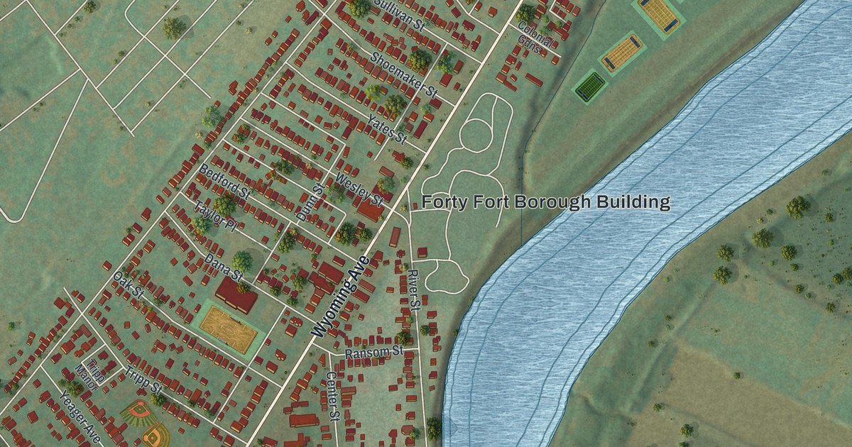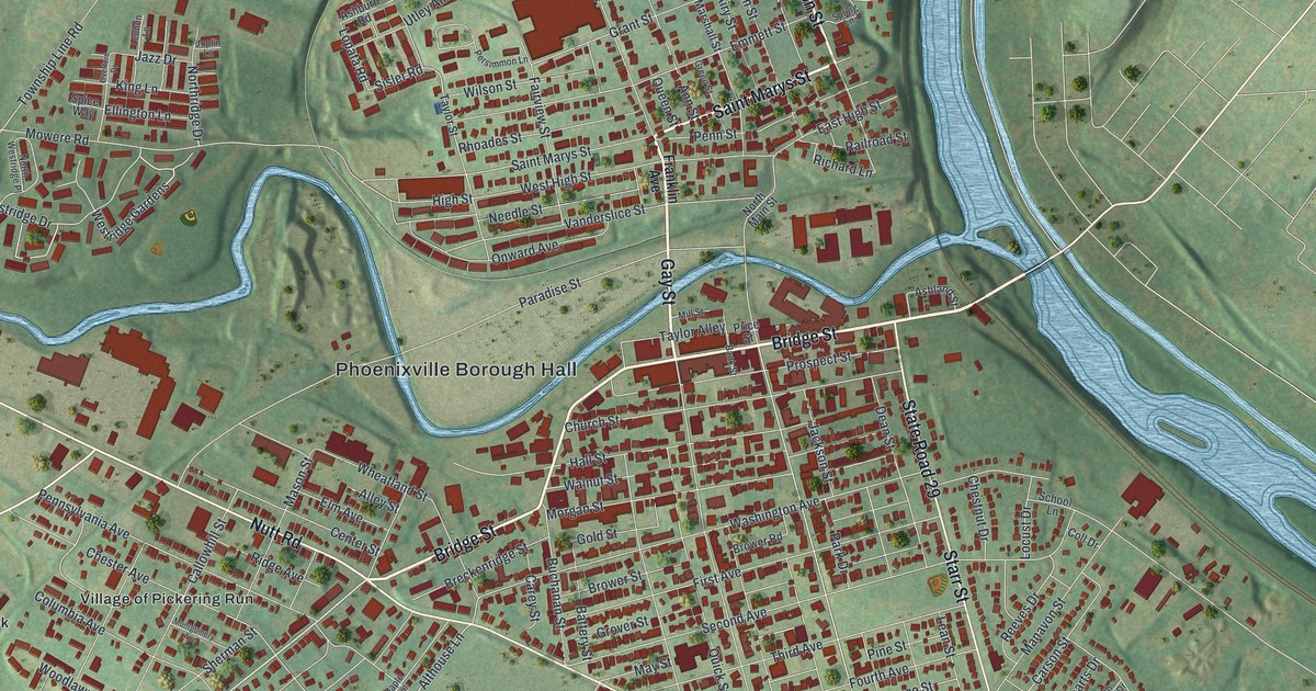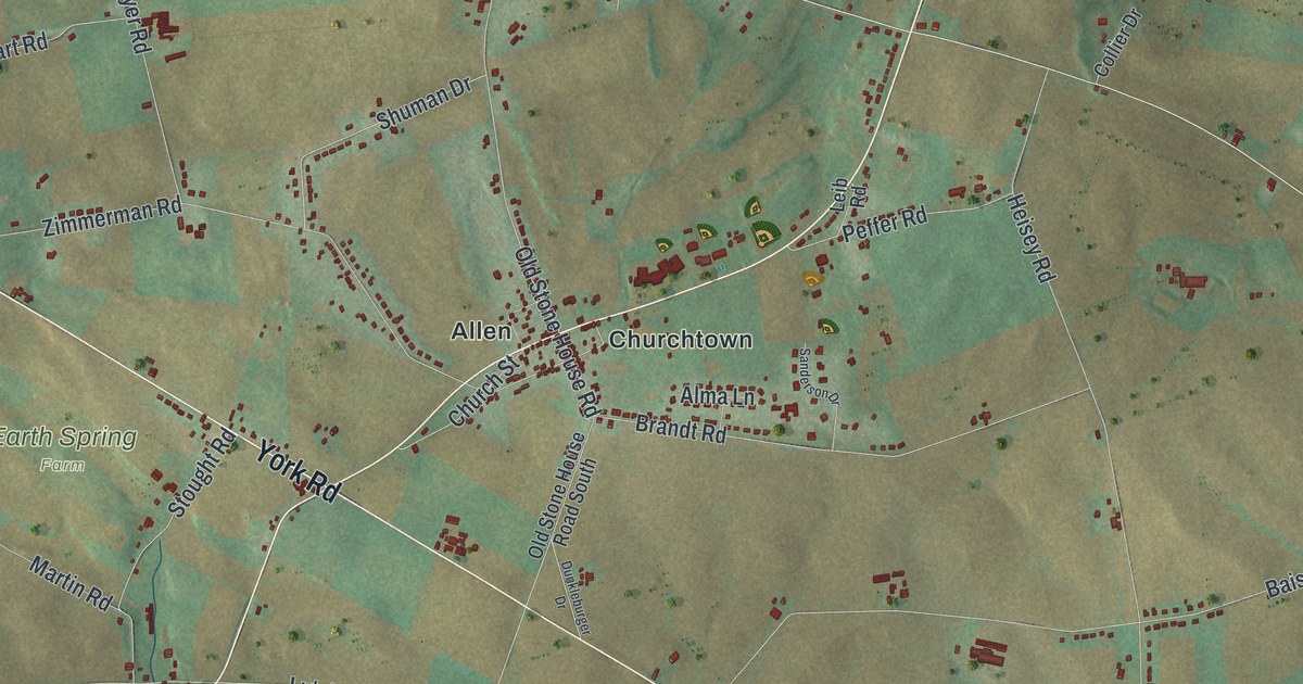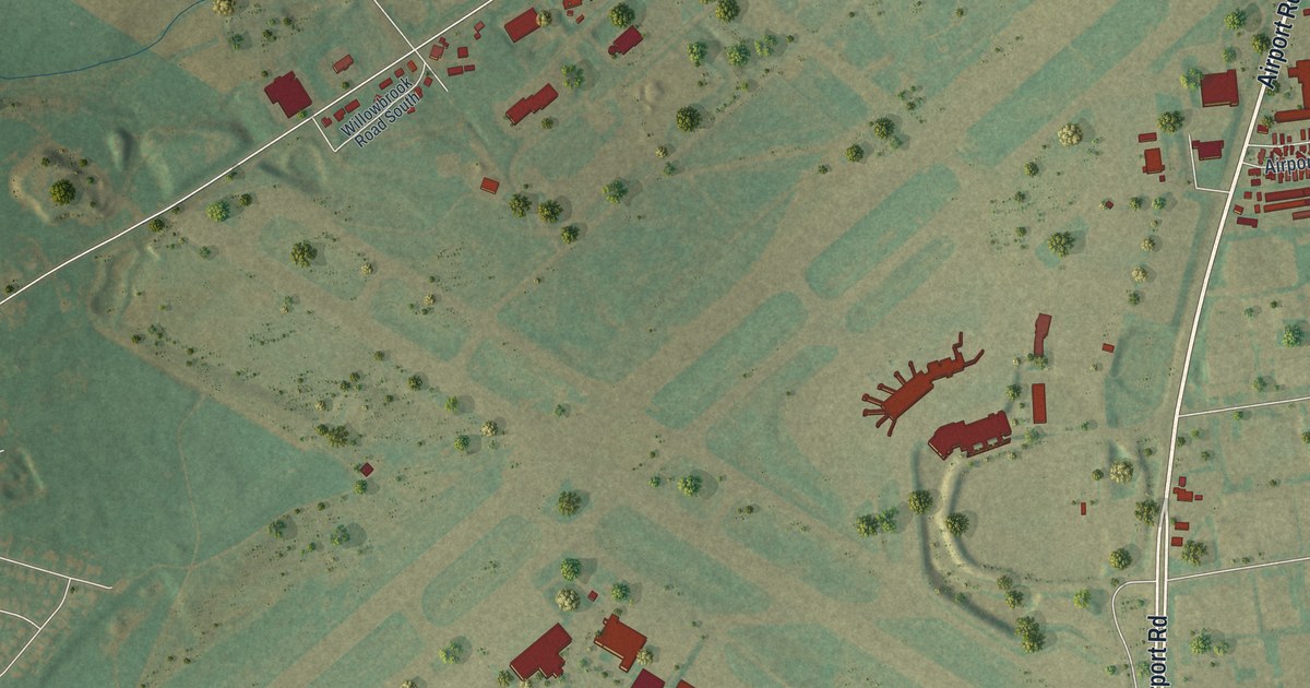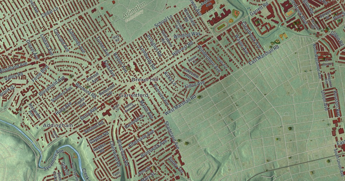
If you grew up in Drexel Hill, Primos or Stonehurst, this map is for you. It's a new aerial view of Upper Darby in Delaware County, Pennsylvania, made from modern data and given a vintage look. The whole township sits in deep red, one small shape for each building. Rows of houses fill the blocks from City Avenue down to Secane. Soft green hills roll around the edges, and a blue creek winds along the southwest side.
Market Street, Drexel Hill and Your Own Block
On this map you'll find Market Street, West Chester Pike, City Avenue, Garrett Road, State Road, Walnut Street, Lansdowne Avenue, Baltimore Avenue, the Upper Darby Township Building, Drexel Hill, Primos, Secane, Arlington Cemetery, Pilgrim Park, and more. Each red shape is a building, so zoom in on the preview and look for yours.
Sellers Hall, the First Home in Upper Darby
Upper Darby's story starts with one house. A state historical marker calls Sellers Hall the first permanent home in Upper Darby. Samuel Sellers built it about 1684. He lived there with his bride, Anna Gibbons. Their son, Samuel Sellers, Jr., was the first of many in the family drawn to machines and science. John Sellers was born in the house too. He helped start the American Philosophical Society. In 1769 he served on a small group that watched the planet Venus pass across the sun. The house still stands on Walnut Street at Hampden Road, and both streets are printed on the map. The National Register of Historic Places added it in 2018.
Hoodland and Abraham Pennock on Maple Avenue
The Sellers name turns up again a little to the west. In 1823, John Sellers II built a home called Hoodland. His son-in-law, Abraham Pennock, lived there until he died in 1868. Pennock was a leader in the Pennsylvania Anti-Slavery Society. He also backed votes for women. The poets John Greenleaf Whittier and James Russell Lowell came to visit him. Today a marker for Pennock stands beside the library on Maple Avenue, between Wayne Avenue and Hazel Avenue.
From the Township Building to Secane
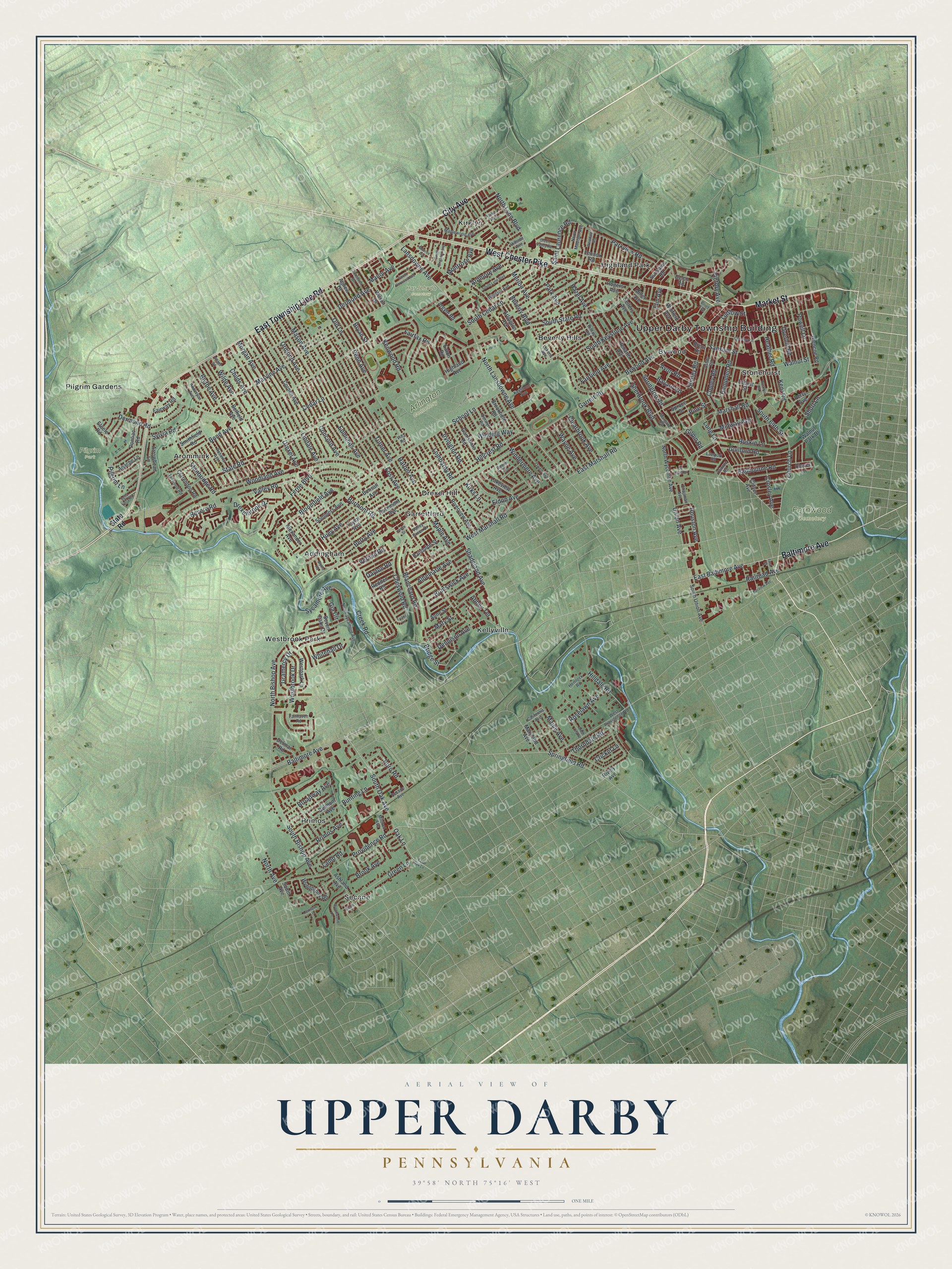
Created by KNOWOL in 2026, this print shows Upper Darby from above, with red buildings set over green hills and winding blue creeks. The title panel at the bottom reads "Aerial View of Upper Darby, Pennsylvania" with the coordinates 39°58' North 75°16' West.
It fits a living room, a front hall or a home office. It's a warm gift for someone who grew up off Garrett Road in Drexel Hill, or for a friend who moved away from Primos or Highland Park. Open the preview and find your street. See sizes and frames for the Upper Darby map.