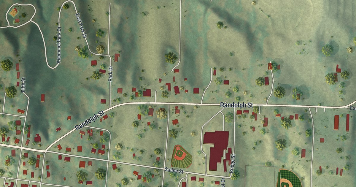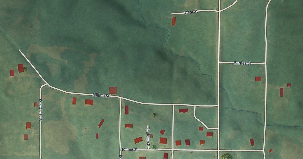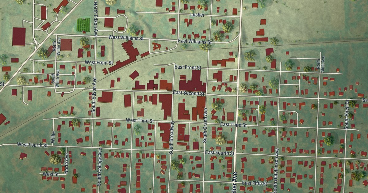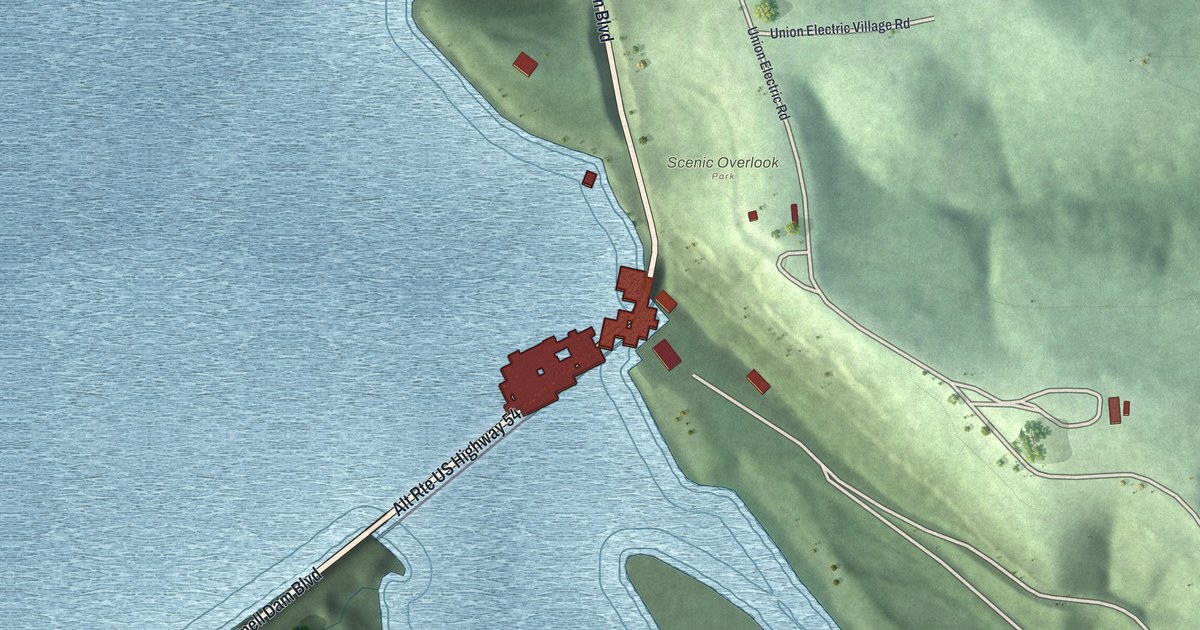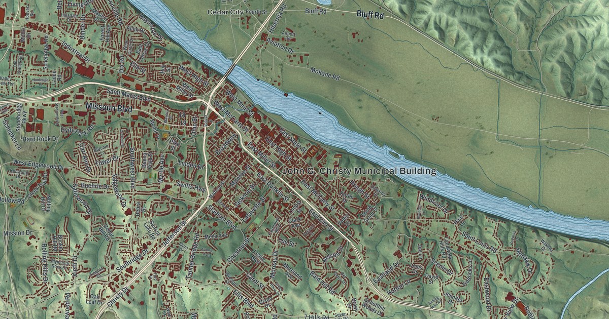
If you grew up in Jefferson City, or you still have family on the hills above the river, this map is for you. It's a modern aerial view of Jefferson City in Cole County, Missouri, drawn from modern data and finished with a vintage feel. A wide blue river bends across the top of the sheet. Shaded green hills roll out on every side, and thousands of red buildings fill the streets in between, from Scruggs in the west to the fields past Cedar City and North Jefferson.
Old neighborhoods on Jefferson Street and East High Street
On this map you'll find Missouri Boulevard, Jefferson Street, East High Street, West Main Street, East McCarty Street, Madison Street, Monroe Street, East Dunklin Street, Broadway, Lafayette Street, the Katy Trail, Cedar City, North Jefferson, Scruggs, and more. Each red shape is a building, so zoom in on the preview and look for yours.
Many of the city's oldest places sit on streets you can find on this map. The National Register of Historic Places lists the Missouri State Capitol Historic District on the 200 block of West McCarty Street. The Cole County Courthouse and Jail-Sheriff's House stands at Monroe Street and East High Street. The Munichburg Commercial Historic District covers shops on East Dunklin Street and Madison Street. A few blocks away, the Hobo Hill Historic District takes in the 500 blocks of East Miller Street and Jackson Street. The Jefferson City National Cemetery is on East McCarty Street. Look for the tight grid of red just south of the river, and you're looking at these blocks.
Where the name Jefferson City came from
The State Historical Society of Missouri keeps an old file on how Missouri towns got their names. The note for Jefferson City points to a 1903 report from the Missouri Bar Association. That report said the name didn't honor Thomas Jefferson. It said the name came from early people in the area who shared it. The file adds the note as an extra, so it's one old claim, not the final word. Still, it's a good one to bring up the next time someone asks where the name came from.
Jefferson City from Scruggs to Cedar City
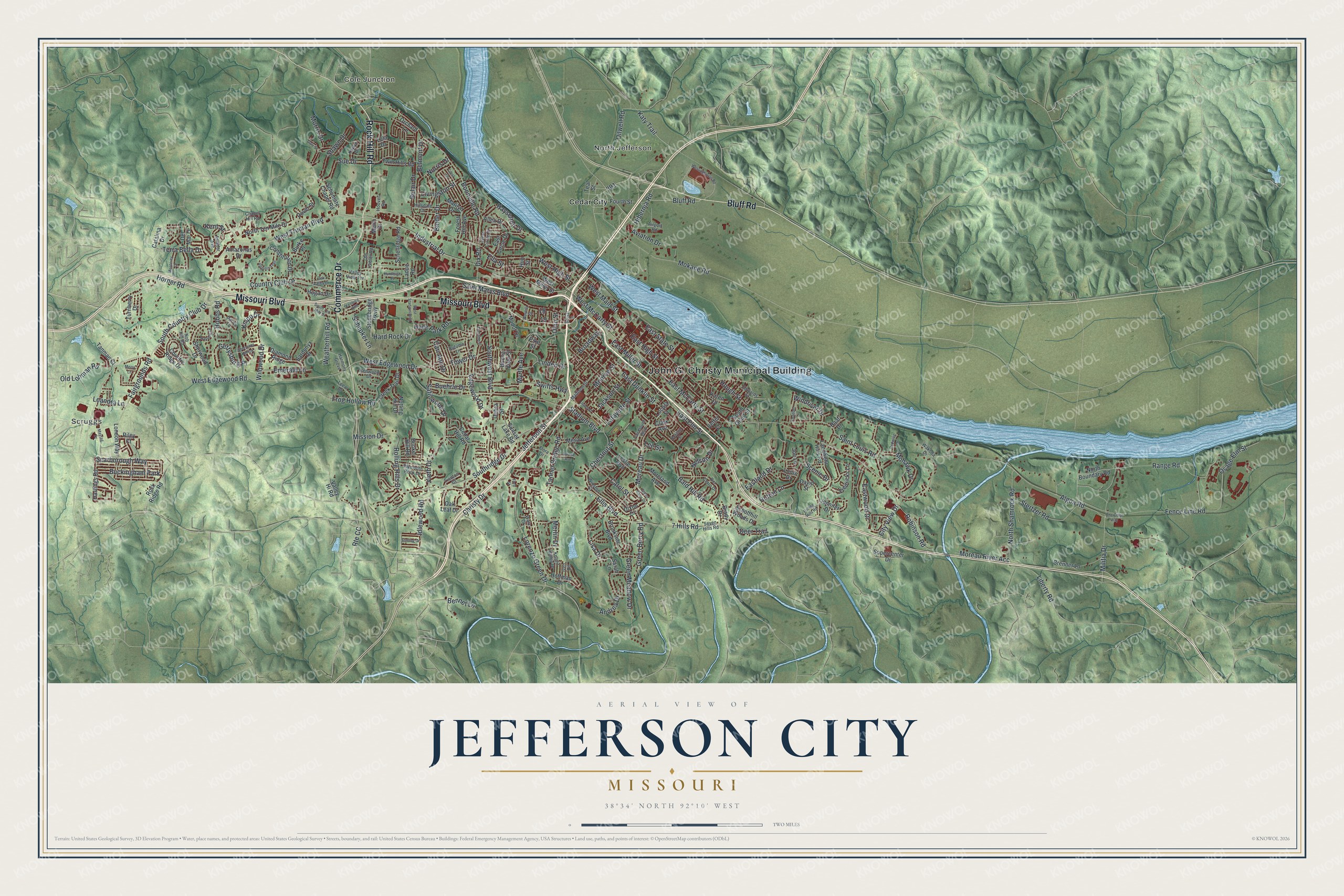
Created by KNOWOL in 2026, this print shows Jefferson City in soft greens with shaded hills, a blue river and red buildings. The cream title panel reads Aerial View of Jefferson City, Missouri, with the coordinates 38°34' North 92°10' West.
It fits a living room, a home office or a hallway by the front door. It's a thoughtful gift for someone who moved away, or for anyone who knows the way to the Katy Trail by heart. Open the preview and find the street you know best. See sizes and frames for the Jefferson City map.