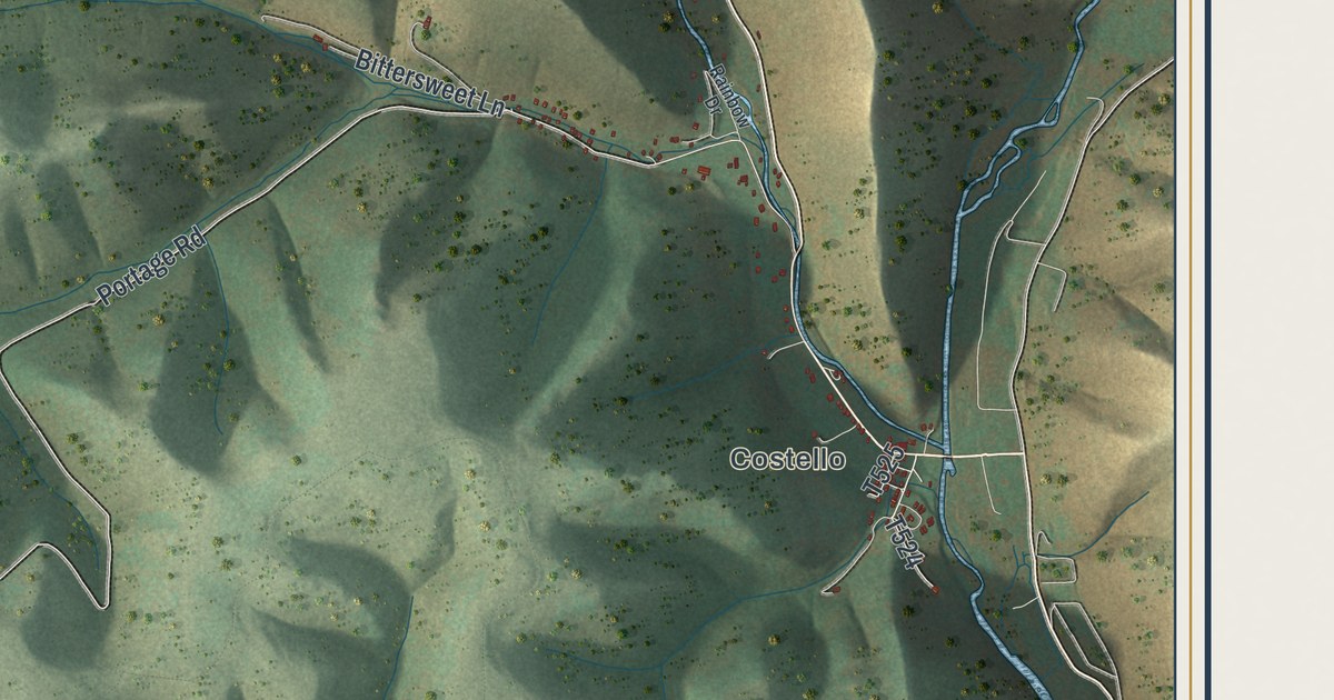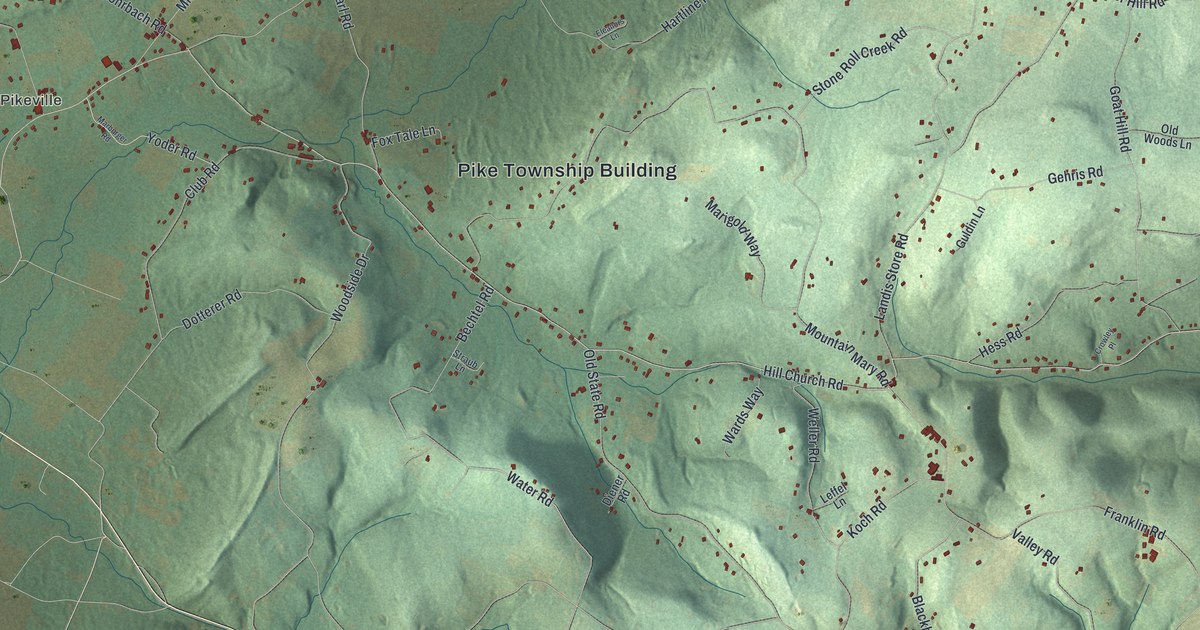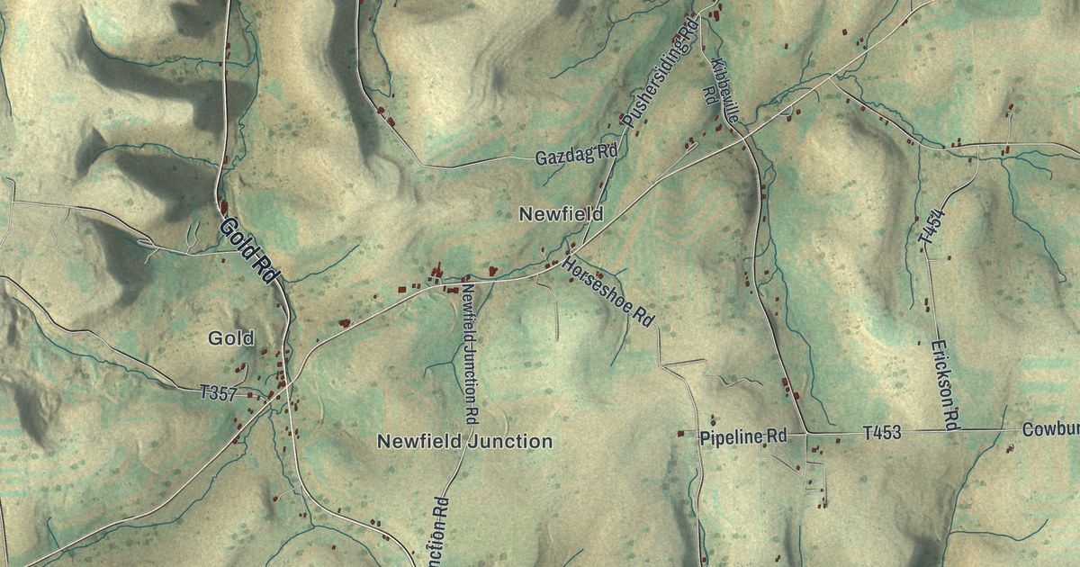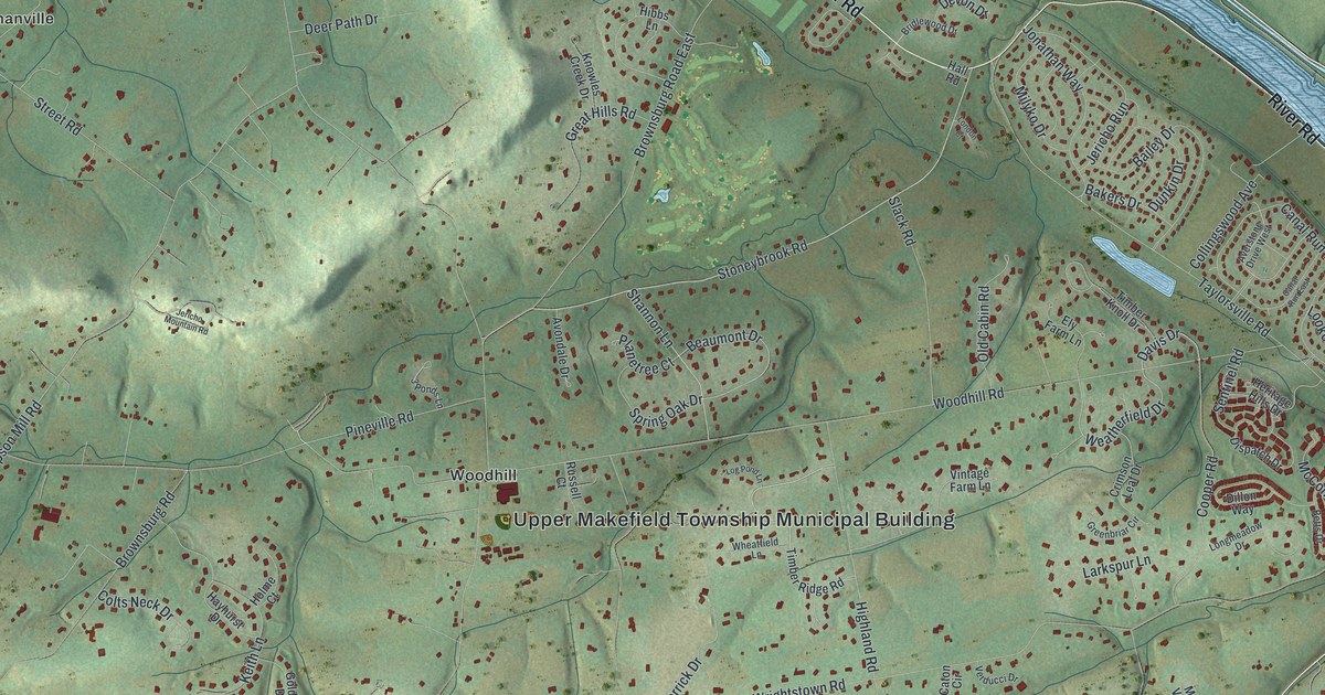
If you grew up along River Road or in Taylorsville, this map shows your home ground. It's a modern aerial view of Upper Makefield Township in Bucks County, Pennsylvania, made with modern data and given a vintage feel. A wide blue river runs down the right side. Shaded hills roll across the middle. Small red buildings fill the land between Buckmanville, Brownsburg, Woodhill, Taylorsville and Dolington.
Washington's Crossing on River Road
On this map you'll find River Road, Washington Crossing Road, Taylorsville Road, Windy Bush Road, Pineville Road, Eagle Road, Wrightstown Road, Woodhill Road, Brownsburg Road, Aqueduct Road, the Upper Makefield Township Municipal Building, Lookout Park, and more. Each red shape is a building, so zoom in on the preview and look for yours.
Upper Makefield is best known for one cold night. A state historical marker on River Road tells it in a few lines. On Christmas night in 1776, Washington and his men braved ice and sleet to cross the Delaware. Then they surprised and beat the Hessians at Trenton. The marker says the win gave new life to the patriot cause. It stands inside the township, on the west side of River Road. On the map, that road hugs the blue river along the right edge.
The Keith House on Pineville Road
Other spots in the township tie it to Washington, too. The Keith House sits east of Pineville on Pineville Road. It's on the National Register as Washington's Headquarters. The McConkey Ferry Inn, on the Delaware River, is on the list as well. Some street names carry the story on. Look for McConkey Drive, General Greene Road, General Sullivan Road and Durham Boat Drive.
From Dolington to Brownsburg
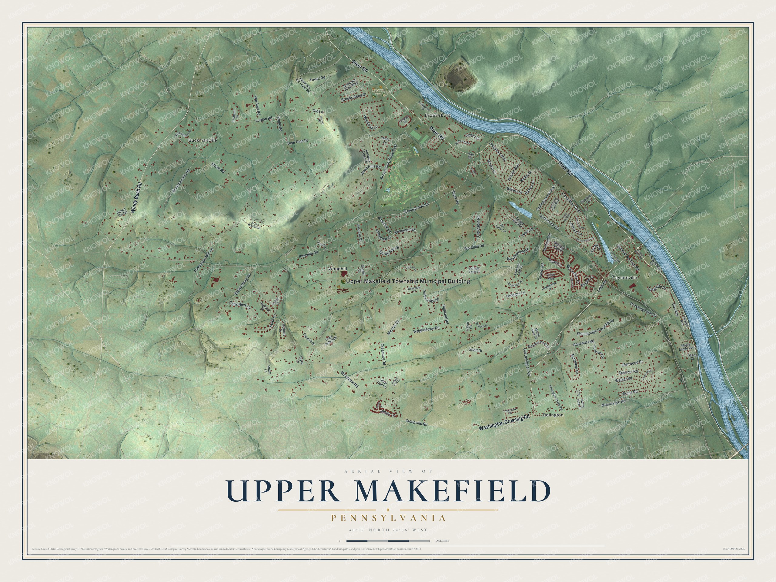
Created by KNOWOL in 2026, this print shows Upper Makefield in soft greens, with shaded hills, blue water and red buildings. The title panel reads "Aerial View of Upper Makefield, Pennsylvania" above 40°17' North 74°56' West.
It fits a living room, a home office or a front hall. It's a good gift for someone who grew up near Lookout Park or along River Road, or for family who moved away from Taylorsville. Open the preview and find your own road. See sizes and frames for the Upper Makefield map.