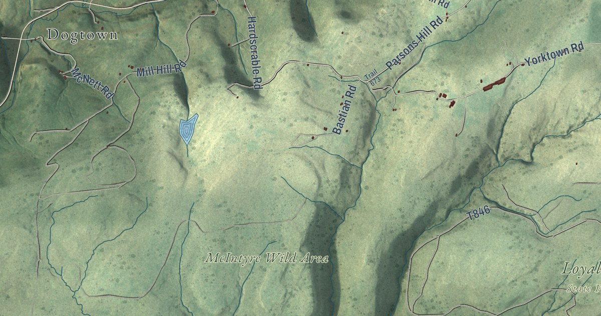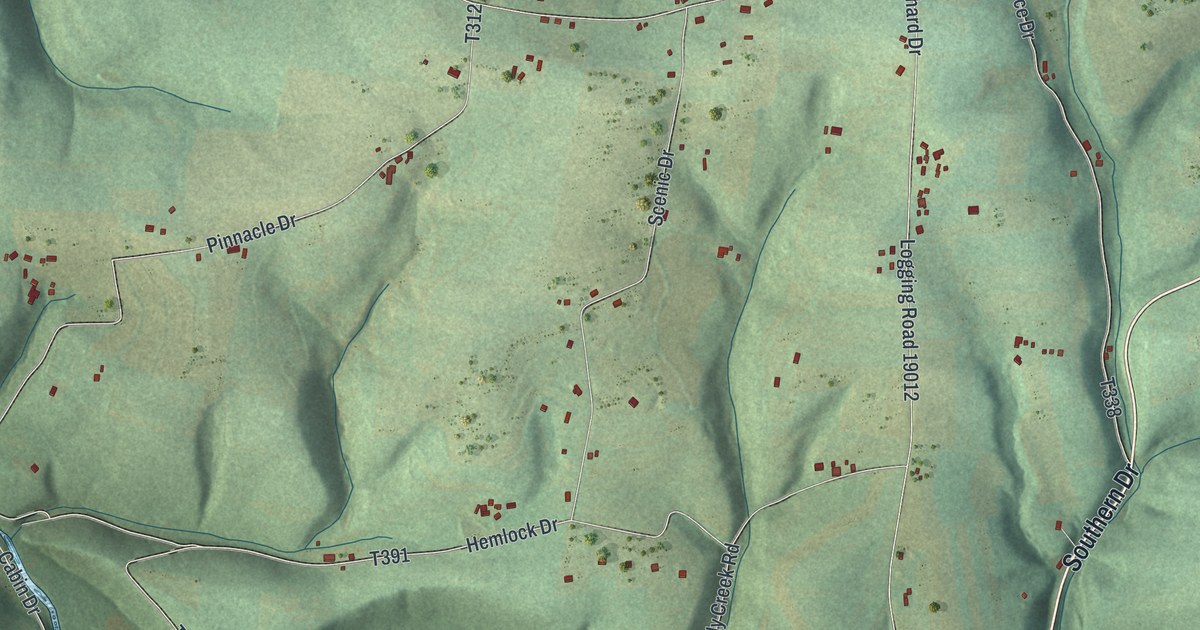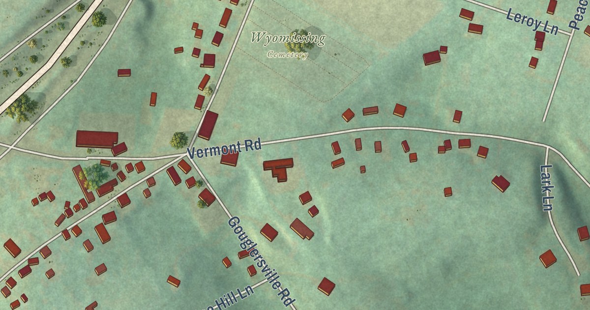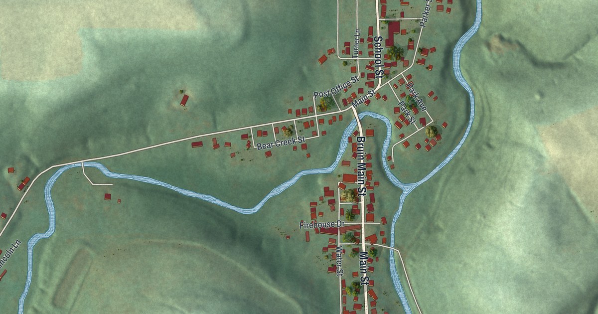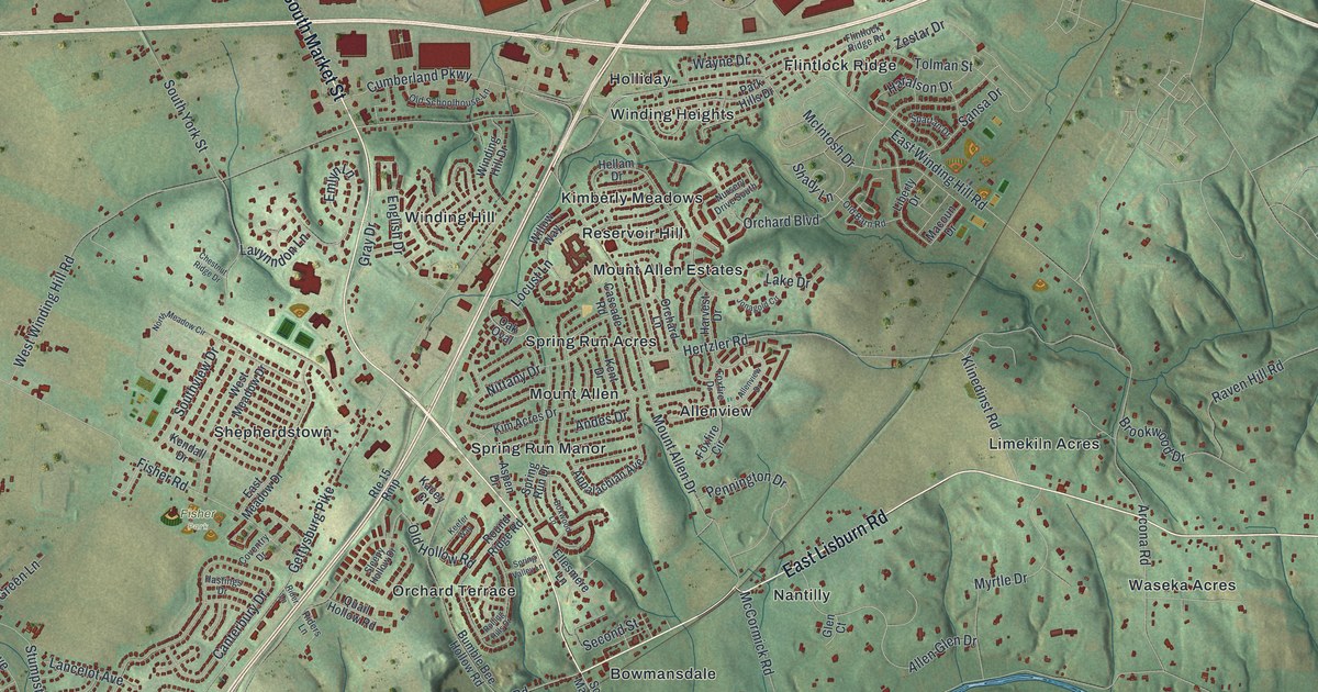
This beautifully detailed map of Upper Allen, Pennsylvania was created in 2026 using aerial imagery combined with modern topographical, census, street and landmark data. It’s a one-of-a-kind view of Upper Allen that combines accurate data with a vintage aesthetic. The map shows every building in its true location, many of the roads carry their names, and the shaded topographic relief shows the shape of the land.
Explore an aerial view of Upper Allen, Pennsylvania
On the map you’ll find Rose Garden, Fisher Park, Allenview, Bowmansdale, Country Estates, Flintlock Ridge, Grantham, Holliday, Kimberly Meadows, Limekiln Acres, Mount Allen, Mount Allen Estates, and more. If you look closely you can even find your house accurately drawn in its correct location. Zoom in on the preview to look for yours.
Did you know this piece of Upper Allen, Pennsylvania history?
The village of Grantham in Upper Allen Township grew up in the early 1900s around a macaroni factory. S.R. Smith, the first president of Messiah College, ran the factory. Many of the oldest homes were built around 1915 to house its workers. Today Grantham is best known as the home of Messiah University.
Take a closer look at the Upper Allen map
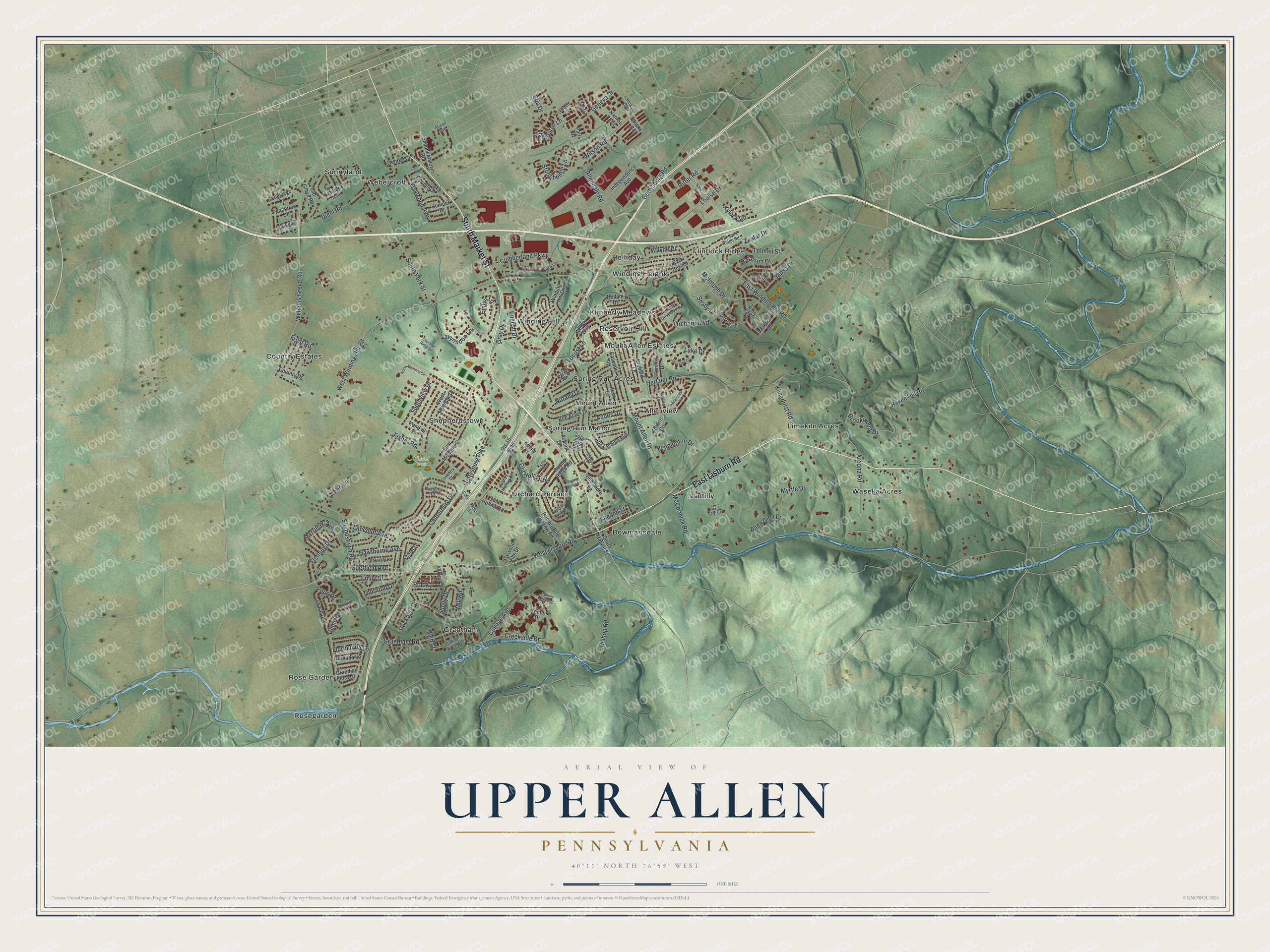
Street and place names on the Upper Allen, Pennsylvania map
These names are printed on the map of Upper Allen, Pennsylvania.
Places: Rose Garden, Fisher Park, Allenview, Bowmansdale, Country Estates, Flintlock Ridge, Grantham, Holliday, Kimberly Meadows, Limekiln Acres, Mount Allen, Mount Allen Estates, Nantilly, Orchard Terrace, Reservoir Hill, Rosegarden, Shepherdstown, Spring Run Acres, Spring Run Manor, Sunnyland, Waseka Acres, Webercroft, Winding Heights and Winding Hill.
Streets and roads: South Market Street, East Lisburn Road, Gray Drive, West Lisburn Road, Glime Drive, Stonehedge Lane, Lake Drive, Emlyn Lane, Wilson Road, Shady Lane, Mount Allen Drive, Locust Lane.
More street names, A to Z
Alison Avenue, Allendale Road, Allen Glen Drive, Allenview Drive, Andes Drive, Appalachian Avenue, Arcona Road, Aspen Drive, Bishop Road, Boxwood Lane, Brighton Place, Brookwood Drive, Bumble Bee Hollow Road, Canterbury Drive, Cascade Road, Cedar Avenue, Center Drive, Chestnut Ridge Drive, Clover Drive, Cockleys Drive, Cocklin Court, College Avenue, College Crossing, Cope Drive, Cottage Brook Lane, Country Drive, Coventry Drive, Creekside Drive, Cumberland Parkway, Diehl Road, East Meadow Drive, East Winding Hill Road, Ellesmere Lane, Emily Drive, English Drive, Eric Drive, Fisher Road, Fleming Drive, Flintlock Ridge Road, Floribunda Lane, Foxfire Circle, Foxfire Drive, Frost Road, Garden Drive, Geneva Drive, Genevieve Drive, George Circle, Gettysburg Pike, Gettysburg Road, Glen Court, Granada Lane, Grandia Flora Drive, Grantham Road, Green Lane, Haralson Drive, Harvest Drive, Hastings Drive, Hawthorne Avenue, Hellam Drive, Hemlock Drive, Hertzler Road, High Street, Independence Avenue, Jonagold Circle, Juniper Drive, Kacey Court, Keefer Way, Kendall Drive, Kent Drive, Kim Acres Drive, Klinedinst Road, Kylock Road, Lancaster Boulevard, Lancelot Avenue, Lavynndon Lane, Liberty Drive, Lobach Drive, Loring Lane, Louise Drive, Macoun Drive, McCormick Road, McIntosh Drive, Melbourne Lane, Merrimac Avenue, Miller Avenue, Mill Road, Myrtle Drive, Nanroc Drive, Nittany Drive, North Meadow Circle, Nursery Drive South, Oak Oval, Oakwood Avenue, Oakwood Hills Drive, Old Barn Road, Old Grove Road, Old Hollow Road, Old Schoolhouse Lane, Orchard Boulevard, Orchard Lane, Paris Drive, Park Hills Drive, Peachtree Drive, Pennington Drive, Quail Hollow Road, Raven Hill Road, Rider Lane, Riders Lane, Ritter Road, Rocky Road, Rolling Hills Drive, Rolo Court, Round Ridge Road, Route 15 Rmp, Sansa Drive, Scott Street, Second Street, Sheffield Avenue, Shepherdstown Road, Shoff Court, Sholly Drive, Sleepy Hollow Drive, Southview Drive, South York Street, Spartan Drive, Spring Run Drive, Spring Valley Lane, Stoner Drive, Stumpstown Road, Thornton Drive, Tolman Street, Wakefield Avenue, Wayne Drive, West Meadow Drive, West Winding Hill Road, Williams Grove Road, Willow Way, Winding Hill Drive, Zestar Drive.
See the Upper Allen, Pennsylvania map on a wall
The Upper Allen map as an 18 x 24 inch print in a black frame.

This beautifully detailed map of Upper Allen makes an attractive addition to your office, library, or den, and it can even be used to teach children the geography and history of the area. It also makes a great gift for anyone who grew up in Upper Allen or moved away. When you’re done exploring, click here to get your copy of the Upper Allen map.