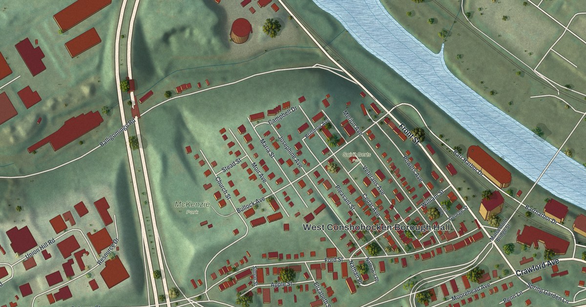
If you grew up near Front Street or still have family on the hill above the river, this map starts with your block. It's a modern aerial view of West Conshohocken in Montgomery County, Pennsylvania, made from modern data and finished with a vintage feel. Red buildings fill the streets around West Conshohocken Borough Hall. Green hills rise behind them, and a wide blue river bends across the top of the sheet.
Front Street, Crawford Avenue and the streets of West Conshohocken
On this map you'll find Front Street, Crawford Avenue, Matsonford Road, Conshohocken State Road, West Conshohocken Borough Hall, McKenzie Park, Saint Gerts Park, Moorehead Avenue, Bullock Avenue, Moir Avenue, Elizabeth Street, Merion Avenue, Balligomingo Road, Union Hill Road, and more. Each red shape is a building, so zoom in on the preview and look for yours.
The Merion and Elizabeth furnaces
West Conshohocken made iron. The 1884 History of Montgomery County tells the story. The Merion Furnace was built here in 1848 by Stephen Caldwell & Co. J. B. Moorhead bought it in 1857. He'd spent years building canals and railroads, and he came to iron as a beginner. In 1873 he built a second furnace, the Elizabeth Furnace. The book says the works grew from about 100 tons of iron a week to 650 tons a week by 1884. The company also owned a mansion house, about 11 acres in the borough, railroad cars, horses and carts.
George Bullock and the worsted mills
Iron wasn't the only work in town. The same book says new worsted mills went up in West Conshohocken in 1881. They spun about 300,000 pounds of fine worsted yarn a year. About 275 people worked there. George Bullock was the firm's treasurer, and James Moir ran the mills as superintendent. The firm also ran the Balligo Mills, started in 1858 and 1859.
Now look at the street names on the print. Moorehead Avenue, Elizabeth Street, Merion Avenue, Bullock Avenue and Moir Avenue share their names with the furnaces and the men in that 1884 account. Balligomingo Road carries a name close to the Balligo Mills.
West Conshohocken Borough Hall and the river bend
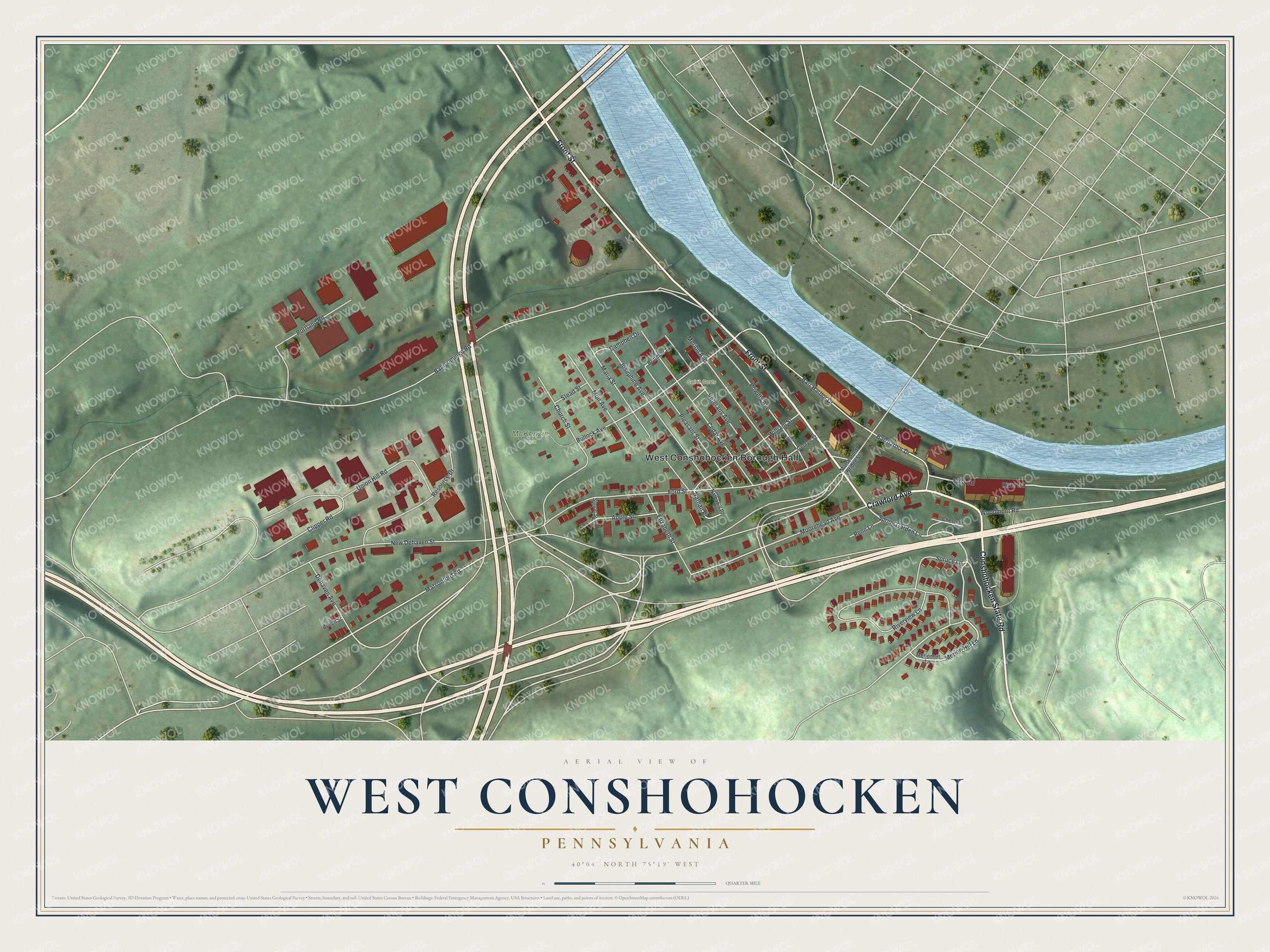
Created by KNOWOL in 2026. The print shows green hills in soft relief, red buildings, pale roads and a wide blue river curving across the top. The title panel reads "Aerial View of West Conshohocken, Pennsylvania" with 40°04' North 75°19' West below it.
It suits a front hall, a home office or a kitchen wall. It's a good gift for someone who played at McKenzie Park or grew up off Front Street and has since moved away. Open the preview and find the street you know best. See sizes and frames for the West Conshohocken map.