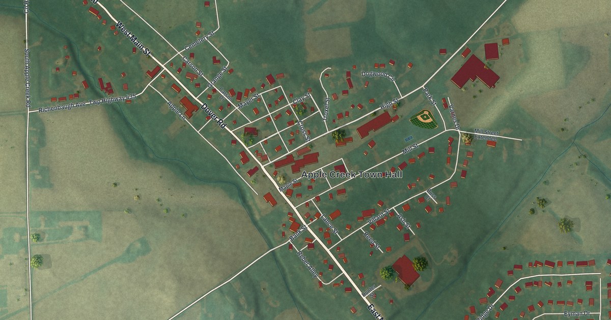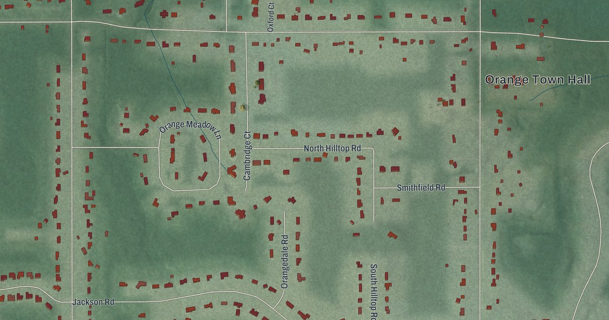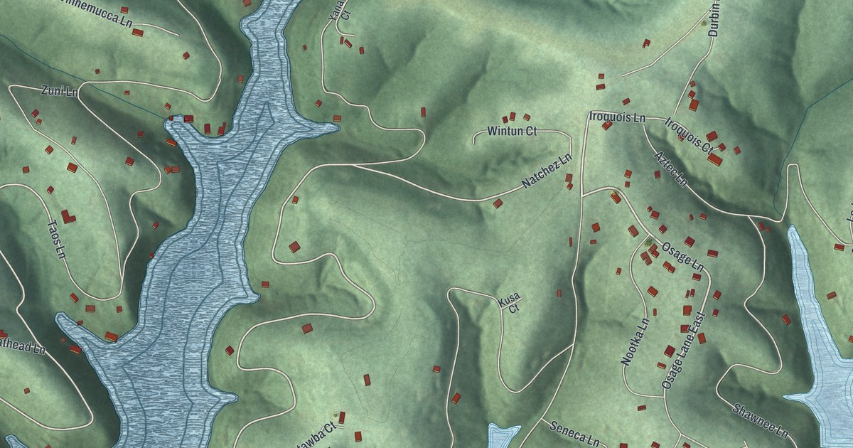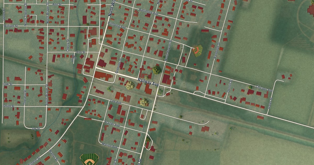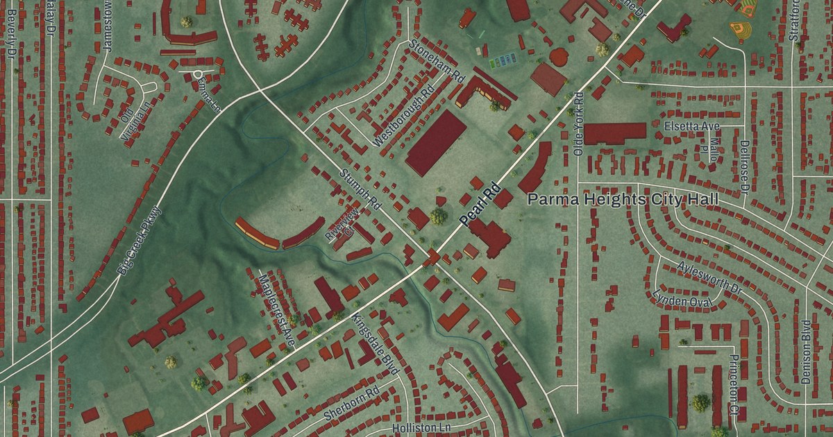
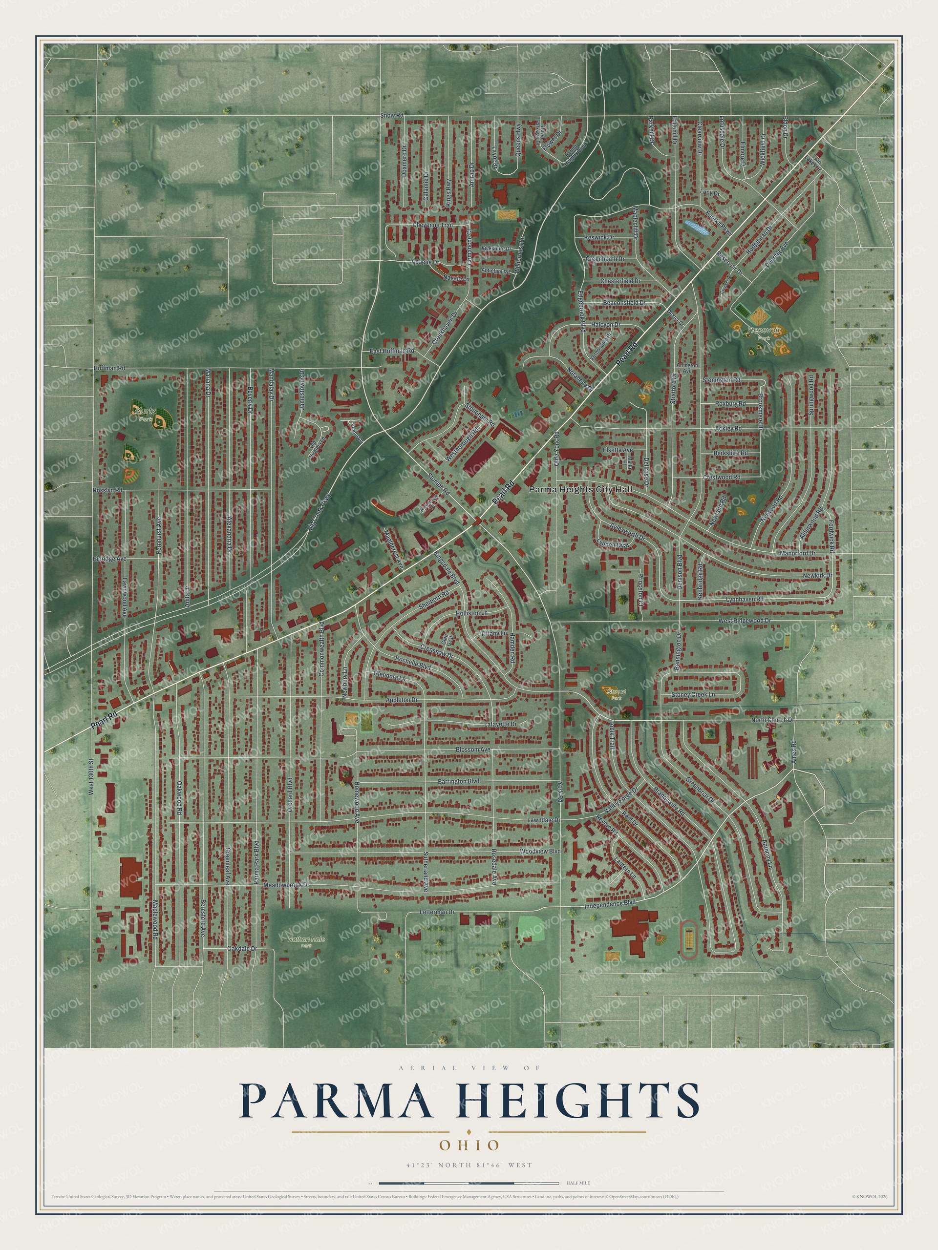
This beautifully detailed map of Parma Heights, Ohio was created in 2026 using aerial imagery combined with modern topographical, census, street and landmark data. It’s a one-of-a-kind view of Parma Heights that combines accurate data with a vintage aesthetic. The map shows every building in its true location, many of the roads carry their names, and the shaded topographic relief shows the shape of the land.
Explore an aerial view of Parma Heights, Ohio
On the map you’ll find Parma Heights City Hall, Kurtz Park, Nathan Hale Park, Resevoir Park, and Stroud Park, along with Pearl Road, Big Creek Parkway, Independence Boulevard, Stumph Road, Letterman Drive, Brookmere Drive, North Church Drive, and more. If you look closely you can even find your house accurately drawn in its correct location. Zoom in on the preview to look for yours.
Did you know this piece of Parma Heights, Ohio history?
Parma Heights became its own village in 1911 after voters chose to leave the township, 42 to 32. Residents were tired of rough Sunday crowds at the area’s one saloon. They wanted a marshal to close it on Sundays. Only a village could have one, so they formed a village.
Take a closer look at the Parma Heights map
Street and place names on the Parma Heights, Ohio map
These names are printed on the map of Parma Heights, Ohio.
Places: Parma Heights City Hall, Kurtz Park, Nathan Hale Park, Resevoir Park and Stroud Park.
Streets and roads: Pearl Road, Big Creek Parkway, Independence Boulevard, Stumph Road, Letterman Drive, Brookmere Drive, North Church Drive, Lynnhaven Road, West 130th Street, Snow Road, Meadowbrook Drive, Greenbriar Drive.
More street names, A to Z
Ackley Road, Alderwood Road, Alexandria Drive, Ames Road, Amrap Drive, Anita Drive, Anthony Lane, Antietam Road, Apache Drive, Appleton Drive, Arlington Avenue, Aylesworth Drive, Barrington Boulevard, Beaconsfield Drive, Bennington Drive, Beresford Avenue, Berkshire Road, Beverly Drive, Blossom Avenue, Brandywine Road, Calamie Drive, Chesterfield Drive, Cheyenne Trail, Clearview Drive, Comanche Court, Commonwealth Boulevard, Creekhaven Drive, Creekside, Crenshaw Drive, Crestwood Road, Deering Avenue, Dellrose Drive, Denison Boulevard, Dexter Drive, Doxmere Drive, East Huffman Road, Edgebrook Boulevard, Edgehill Drive, Eldon Drive, Eldridge Avenue, Elmore Drive, Elsetta Avenue, Emma Lane, Eureka Parkway, Fernhurst Avenue, Flower Drive, Fordwick Road, Glendora Lane, Glen Oval, Greenheath Drive, Greenleaf Avenue, Halcyon Drive, Hamden Road, Hodgeman Drive, Holliston Lane, Homewood Avenue, Huffman Road, Jamestowne Drive, Kenbridge Road, Keswick Drive, Kingsdale Boulevard, Kings Highway, Lafayette Drive, Lantern Lane, Lawndale Drive, Lawnwood Avenue, Layor Drive, Lotusdale Drive, Lucy Drive, Lynden Oval, Mallo Place, Mandalay Drive, Manorford Drive, Maplecliff Drive, Maplecrest Avenue, Maplewood Road, Mariana Drive, Navajo Lane, Nelwood Road, Newbury Lane, Newkirk Drive, Newland Road, Notabene Drive, Oakdale Drive, Oakwood Road, Olde York Road, Old Virginia Lane, Orchard Boulevard, Parkhill Drive, Parma Heights Boulevard, Parma Park Boulevard, Princeton Court, Queens Highway, Reid Drive, Reservoir Drive, Revere Road, Riverview Court, Rochelle Boulevard, Rosedale Avenue, Rosslyn Road, Roxbury Road, Royal Parkway Drive, Sherborn Road, Springwood Road, Stoneham Road, Stoney Creek Lane, Stonington Road, Stratford Drive, Sutherland Avenue, Tiffany Lane, Tobik Trail, Twin Lakes Drive, Valley Forge Drive, Vernondale Drive, Vicksburg Drive, Westborough Road, West Ridgewood Drive, Wickfield Drive, Wilderness Lane, Woodview Boulevard, York Road.
See the Parma Heights, Ohio map on a wall
The Parma Heights map as an 18 x 24 inch print in a black frame.

This beautifully detailed map of Parma Heights makes an attractive addition to your office, library, or den, and it can even be used to teach children the geography and history of the area. It also makes a great gift for someone who left Parma Heights and still calls it home. When you’re done exploring, click here to get your copy of the Parma Heights map.