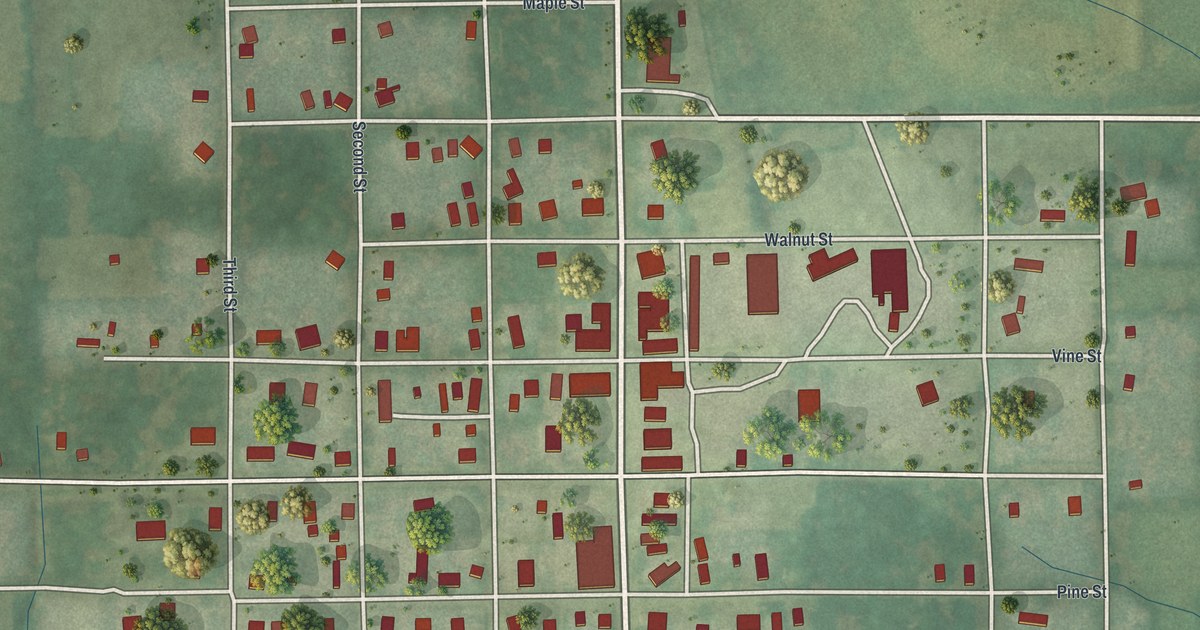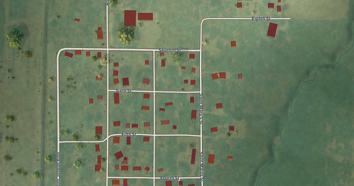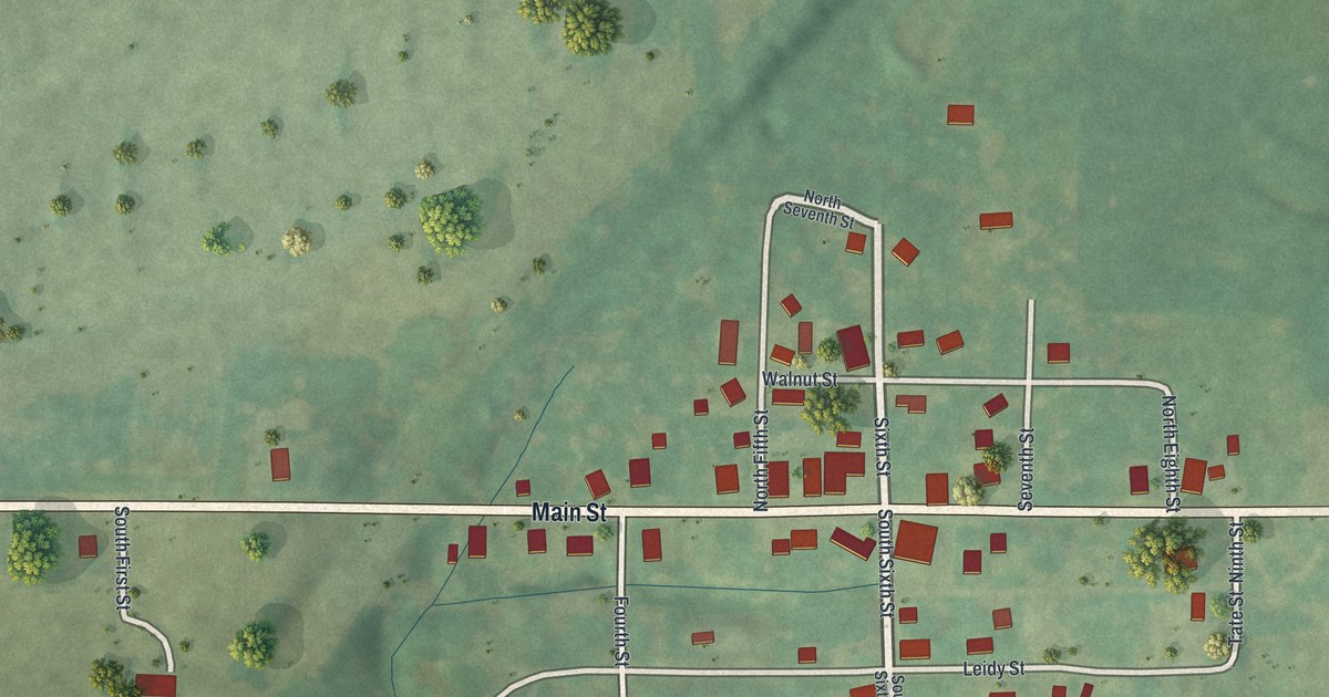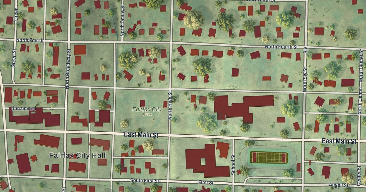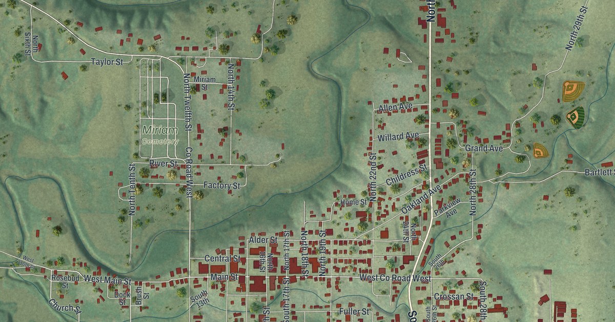
If you grew up in Bethany, or you still have family near Main Street, this map shows the town you know. It's a modern aerial view of Bethany in Harrison County, Missouri, made from modern data and given a vintage look. Red buildings fill the blocks around Main Street and South 25th Street. A small blue lake sits in the hills north of town. Creeks have cut deep folds into the green land on every side.
Main Street, Bulldog Avenue and your own block
On this map you'll find Main Street, West Main Street, South 25th Street, North 25th Street, Miller Street, Bulldog Avenue, Bethany Avenue, Central Street, Church Street, Grand Avenue, Crestview Road, Lakeside Road, Hub Club Drive, Oakland Avenue, and more. Each red shape is a building, so zoom in on the preview and look for yours.
Bethany's first post office, once called Bethpage
Bethany had two of the county's firsts. The first post office in Harrison County opened here in 1845. For several years it went by the name Bethpage. David Buck was named its postmaster. The county's first hotel was in Bethany, too. Robert Bullington kept it in a one-story house built of hewed logs. It stood on the north side of the public square. Both facts come from an 1888 history of Harrison County.
The town has grown a long way since those log buildings. Today the thickest cluster of red buildings sits along Main Street, Central Street and Alder Street. Out on West Main Street, the Hamilton House at 1228 West Main is listed on the National Register of Historic Places. Up north, near Bulldog Avenue, you can spot the oval of a running track.
Bethany's Main Street for your wall
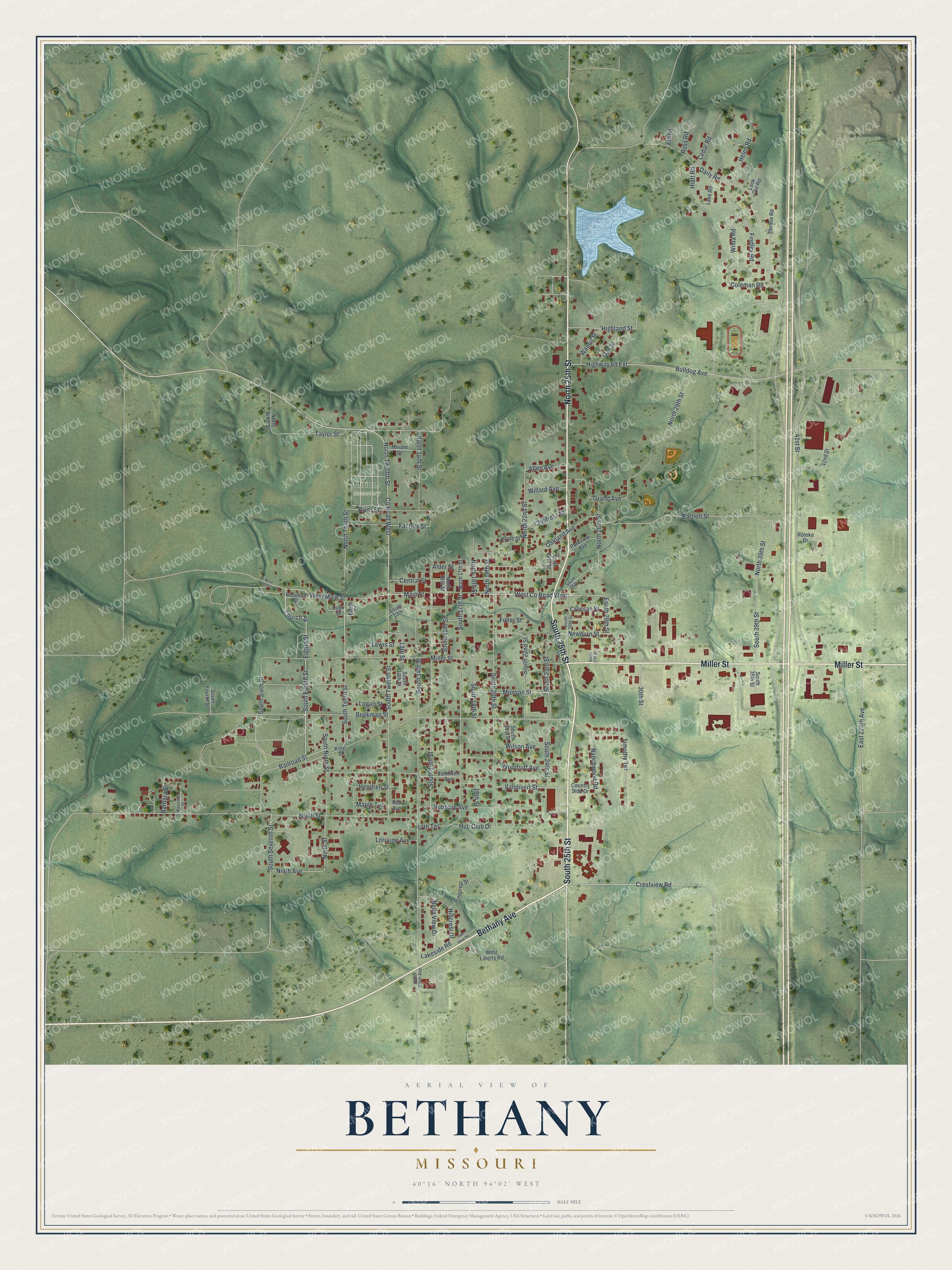
Created by KNOWOL in 2026, this print shows Bethany in soft greens, with shaded hills from USGS elevation data, blue water and red buildings. The title panel at the bottom reads Aerial View of Bethany, Missouri, with the coordinates 40°16' North 94°02' West.
It fits a living room, a front hall or a home office. It's a good gift for someone who moved away and still thinks about Main Street and the old square. Open the preview and find your block. See sizes and frames for the Bethany map.