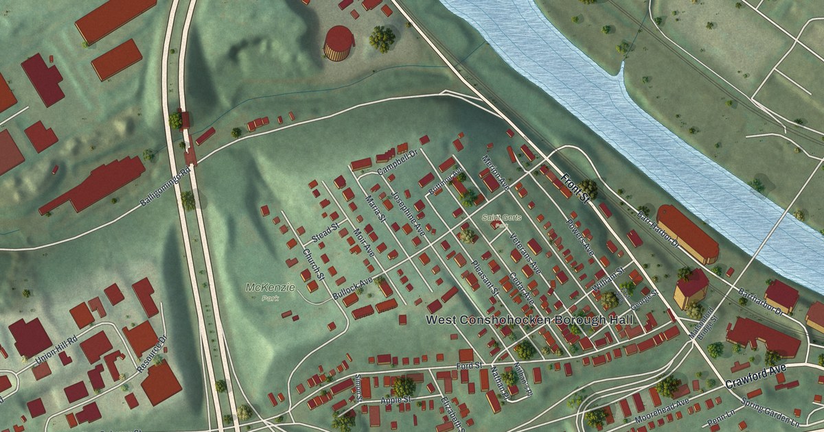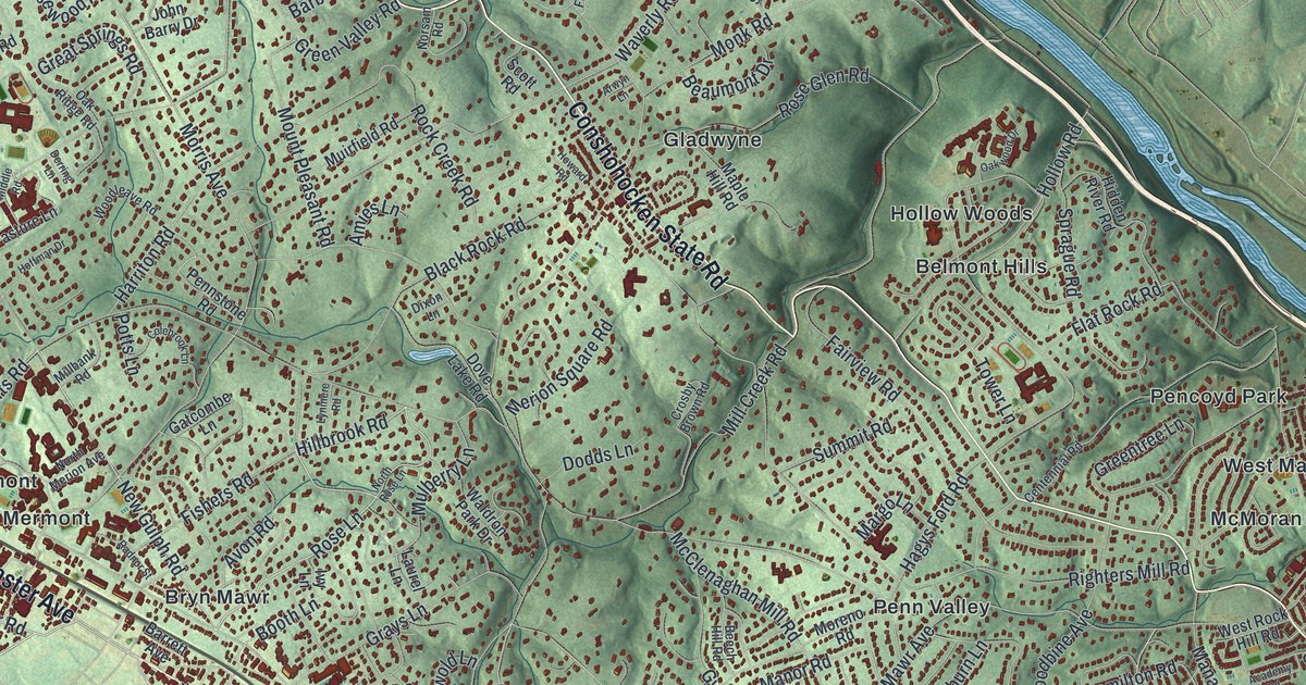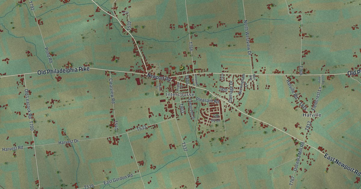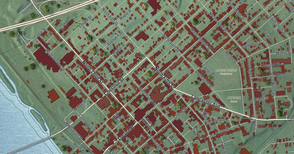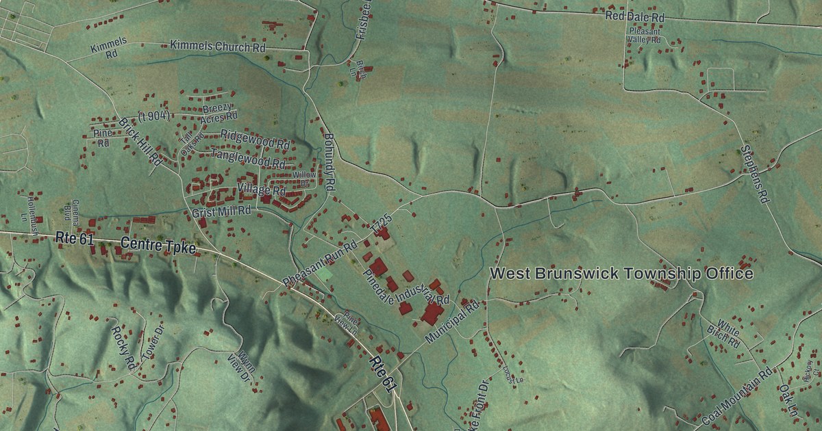
If you grew up in West Brunswick Township, or you still drive Market Street and Centre Turnpike every day, this map is your home ground. It's a new aerial view of West Brunswick in Schuylkill County, Pennsylvania, made from modern data and given a vintage look. Green ridges rise and fall in soft shadow across the whole sheet. Blue creeks wind through the valleys, and a long blue lake curls along the lower left. Small red shapes mark the homes and buildings, from Frisbie at the top to Molino near the bottom.
Market Street, Sculps Hill Road and Molino
On this map you'll find Market Street, Centre Turnpike, Rte 61, Sculps Hill Road, Tunnel Road, Fort Lebanon Road, Red Church Road, Kimmels Church Road, Chestnut Street, Summer Valley Road, Drehersville Road, Frisbie, Molino, the West Brunswick Township Office, State Game Lands Number 110, and more. Each red shape is a building, so zoom in on the preview and look for yours.
Muhammad Ali's Fighter's Heaven on Sculps Hill Road
West Brunswick's best-known story happened on Sculps Hill Road. In 1972, Muhammad Ali built his Deer Lake Training Camp here. He was a three-time world heavyweight boxing champion. At first he trained at a mink farm nearby. Then he bought land on remote Sculps Hill and built the camp he wanted. He called it "Fighter's Heaven." Ali trained here through 1980. He got ready here for two of his most famous wins. One was the "Rumble in the Jungle" with George Foreman. The other was the "Thrilla in Manila" with Joe Frazier, his greatest rival. A state historical marker put up in 2023 tells the story. That same year, Fighter's Heaven joined the National Register of Historic Places. On the map, look for Sculps Hill Road on the left side, near the river and the lake.
Tunnel Road and Fort Lebanon Road
Sculps Hill has older stories too. The 1881 History of Schuylkill County says the Schuylkill canal once cut right through the hill. People called that spot "the tunnel" or "the narrows." You'll find Tunnel Road on this map, too. Fort Lebanon Road points to a harder time. A state marker says Fort Lebanon was one of a line of forts built about 1755. The few families here faced raids during the French and Indian War. By 1758 the fort was called Fort William. The marker stands where Fort Lebanon Road meets Market Street.
From Frisbie to Molino
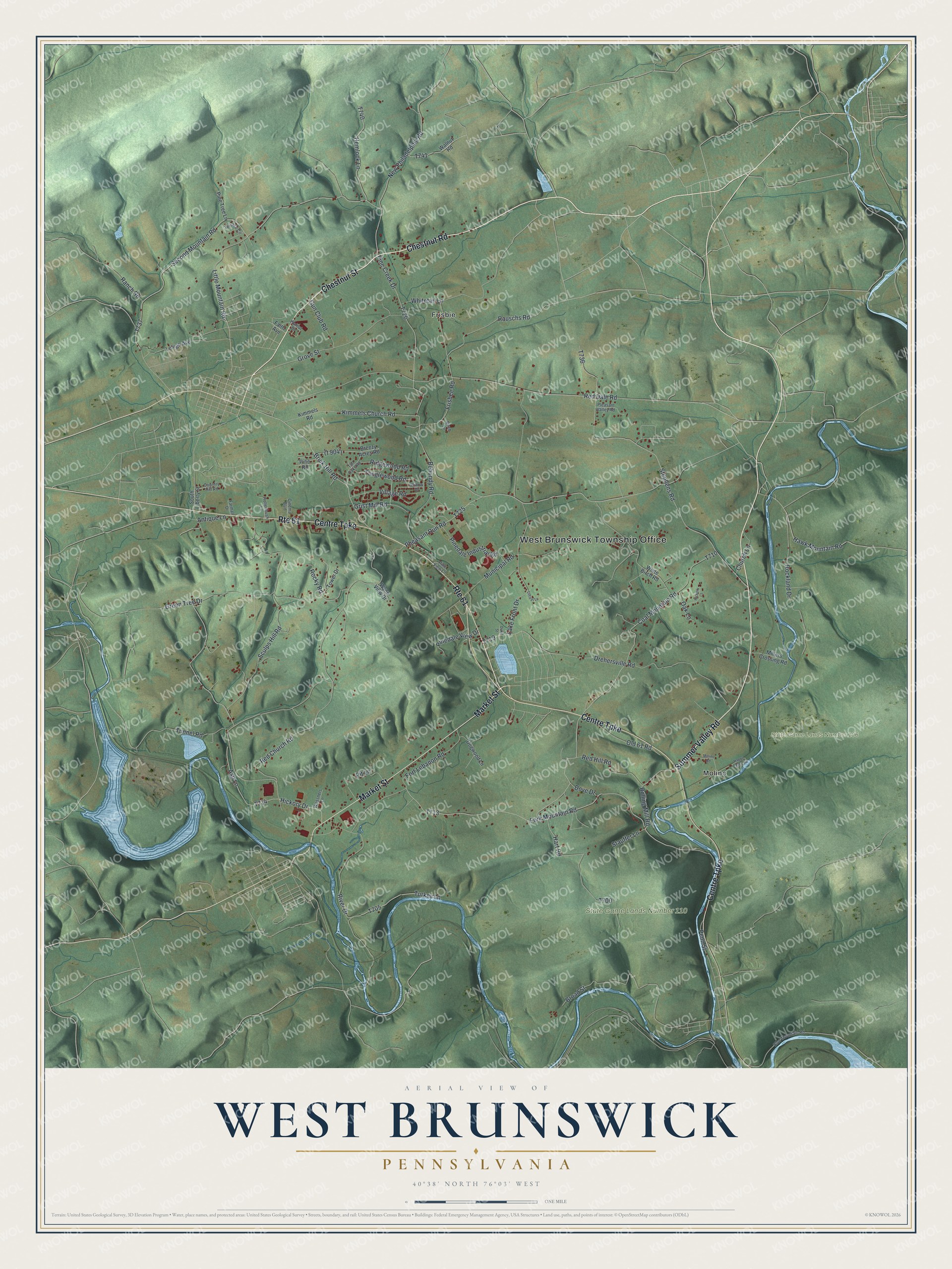
Created by KNOWOL in 2026, this print shows West Brunswick's hills in soft green shading, with blue creeks, a long blue lake and small red buildings along the roads. The title panel reads "Aerial View of West Brunswick, Pennsylvania" with the coordinates 40°38' North 76°03' West.
It fits a den, a living room or a home office. It's a good gift for someone who grew up near the West Brunswick Township Office, or for a boxing fan who knows the story of Sculps Hill Road. Open the preview and look for your own road. See sizes and frames for the West Brunswick map.