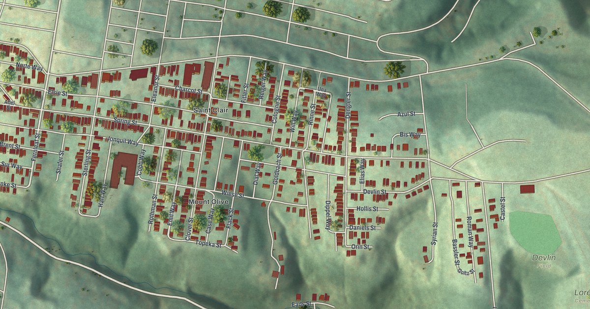
If you grew up on Arlington Avenue, or your family still has a house up on the hill, this map was made for you. It's a modern aerial view of Arlington in Allegheny County, Pennsylvania, drawn from modern data and given a vintage look. The houses pack close together along one long hilltop. Saint Peters Cemetery sits at one end, and Devlin Field and Loretto Cemetery sit at the other. Wooded hollows drop away on every side, and a wide blue river runs down the right edge of the sheet.
From Saint Peters Cemetery to Devlin Field
On this map you'll find Arlington Avenue, Mountain Avenue, Becks Run Road, Parkwood Road, East Carson Street, Jonquil Street, Devlin Street, Fernleaf Street, Spring Street, Eleanor Street, Saint Peters Cemetery, Loretto Cemetery, Devlin Field, Mount Olive, Saint Clair, and more. Each red shape is a building, so zoom in on the preview and look for yours.
Saint Clair and Mount Olive at the Center
Two names sit right in the middle of the map: Saint Clair and Mount Olive. This is the busiest part of the neighborhood. The streets form a tight grid, and the houses nearly touch. Look near Mount Olive and you'll spot one large red building, much bigger than the homes around it. Near Hollis Street and Orin Street, the buildings start to thin out. Past them is the open green of Devlin Field, with Loretto Cemetery just below. Deep, shaded hollows fall away from the hilltop on both sides.
Allegheny County Since 1788
Arlington is part of Allegheny County. A state historical marker at the county courthouse tells how the county began. It was formed on September 24, 1788, out of Westmoreland and Washington counties. It was named for the Allegheny River. Pittsburgh, the county seat, was laid out in 1764 and became a city in 1816.
A Map for Anyone From Arlington Avenue
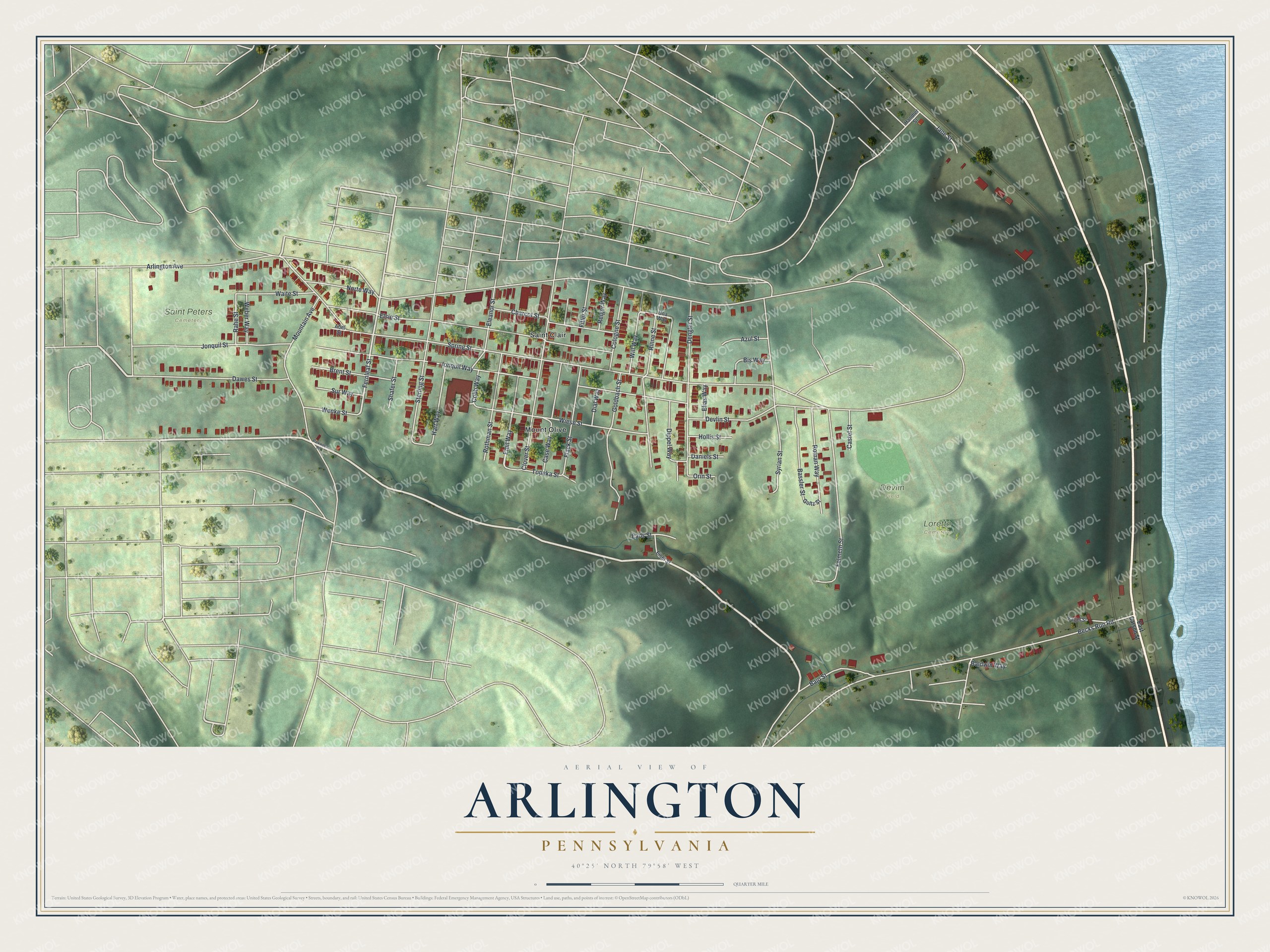
Created by KNOWOL in 2026, this print shows Arlington from above in soft greens, with shaded hills, red buildings and a blue river along the right edge. The title panel reads "Aerial View of Arlington, Pennsylvania" and gives the spot as 40°25' North 79°58' West.
It suits a living room, a front hall or a home office. It's a warm gift for someone who grew up near Devlin Field and now lives far away, or for a family that has called Saint Clair or Mount Olive home for years. Open the preview and find your street. See sizes and frames for the Arlington map.