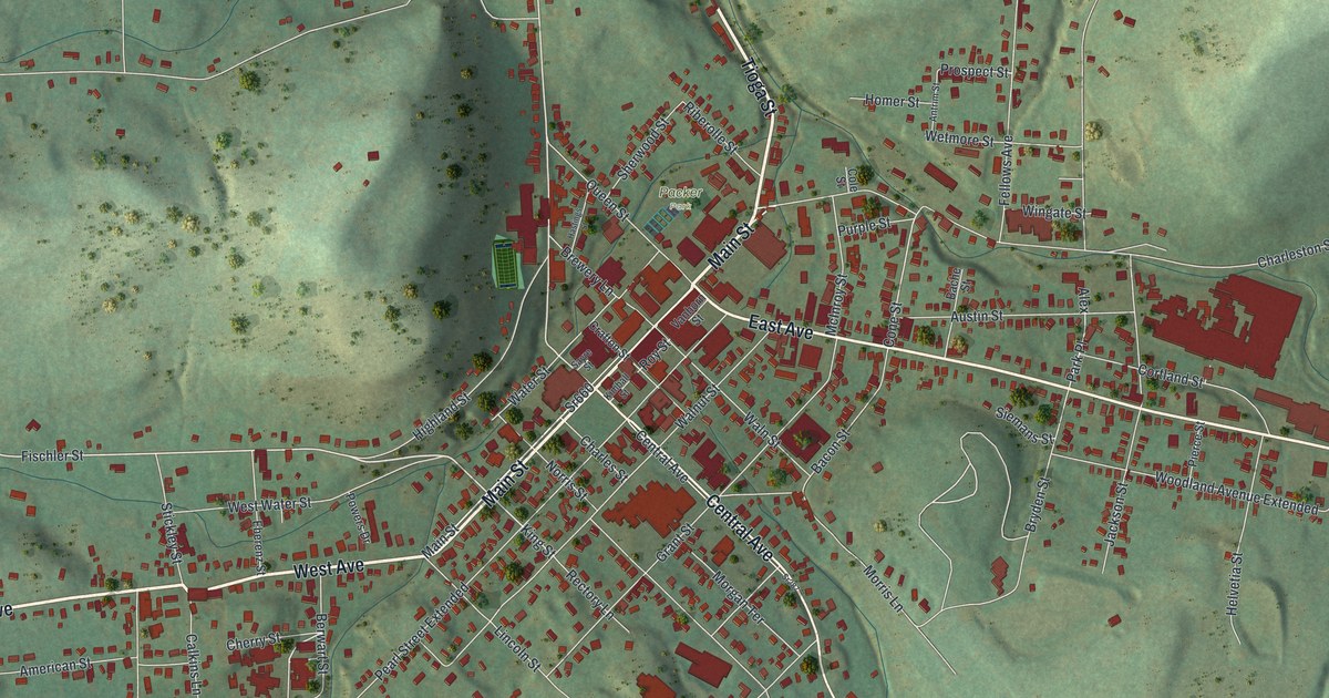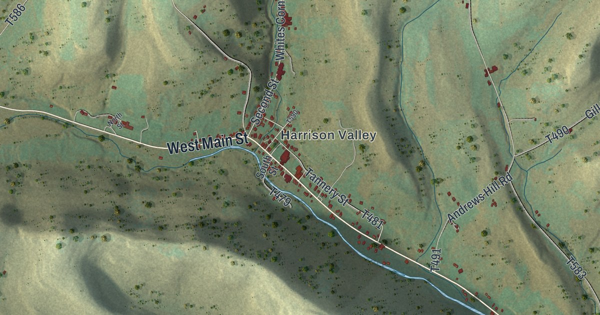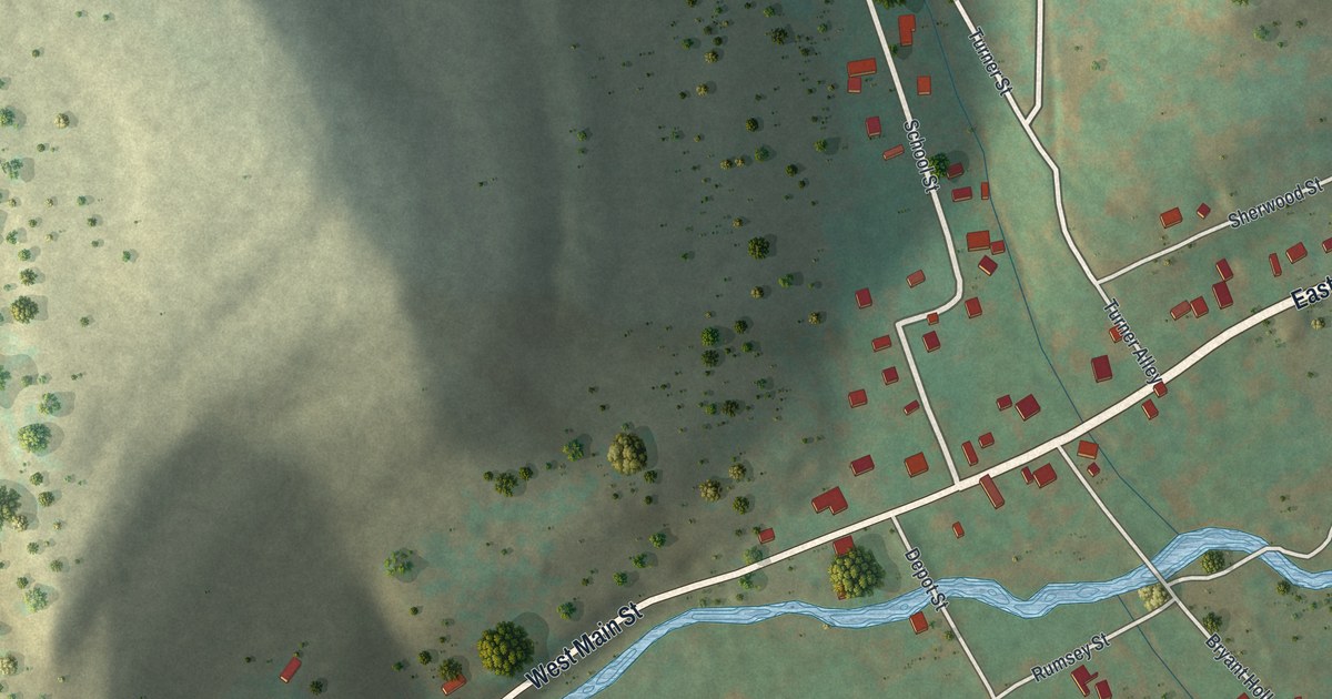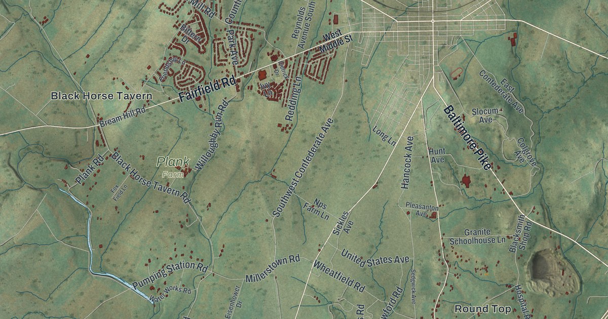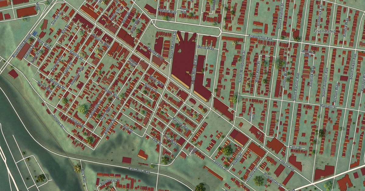
If you grew up near Liberty Avenue, crossed the Bloomfield Bridge to get home, or still have family on Cedarville Street, this print is for you. It's a modern aerial view of Bloomfield, the Pittsburgh neighborhood in Allegheny County, Pennsylvania, made from modern data and given a vintage artistic feel. More than 5,700 red buildings fill the blocks between Friendship Avenue and Baum Boulevard. The row houses sit close together, and a deep green valley curves along the left side of the sheet.
Liberty Avenue, Friendship Avenue and Your Street
On this map you'll find Liberty Avenue, Friendship Avenue, Baum Boulevard, the Bloomfield Bridge, Penn Avenue, South Millvale Avenue, South Winebiddle Street, South Aiken Avenue, Cedarville Street, Ella Street, Taylor Street, Mintwood Street, 40th Street, Friendship, and more. Each red shape is a building, so zoom in on the preview and look for yours.
Johnny Unitas and the Bloomfield Rams
Bloomfield's name once went onto a football team. In 1955, a young Johnny Unitas played quarterback for the Bloomfield Rams. They were a semi-pro team, and that year they won the Steel Bowl Football Conference title. A state historical marker tells the story at the Arsenal Middle School field in Lawrenceville, where he played. Unitas was a Pittsburgh native. He signed with the Baltimore Colts in 1956. Two years later, he led them to an NFL championship. He went into the Pro Football Hall of Fame in 1979.
Old Schools on Liberty Avenue and Winebiddle Street
Three old school buildings near these streets are on the National Register of Historic Places. Woolslair Elementary School, at 40th Street and Liberty Avenue, was listed in 1986. Liberty School No. 4, Friendship Building, at 5501 Friendship Avenue, was listed that same year. The Ursuline Young Ladies Academy, at 201 South Winebiddle Street, joined the list in 2012. Find those corners on the preview and you'll find the schools among the red shapes.
Keep Liberty Avenue and the Bloomfield Bridge Close
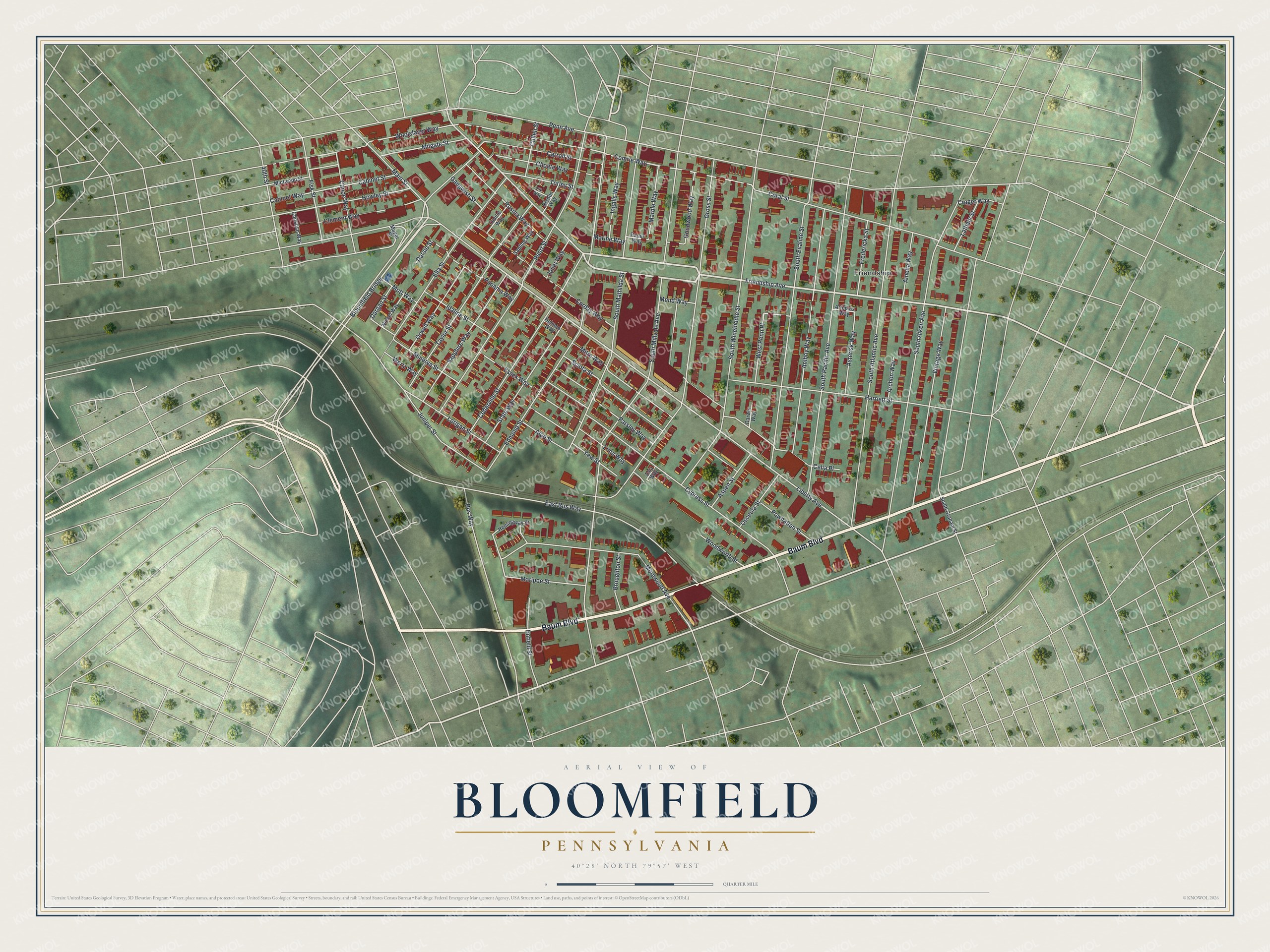
Created by KNOWOL in 2026, this print shows Bloomfield from above, with red buildings and white streets over soft green hills. The title panel reads "Aerial View of Bloomfield, Pennsylvania" with the coordinates 40°28' North 79°57' West.
It fits a kitchen, a front hall or a first apartment. It's a good gift for someone who went to Woolslair Elementary, or who grew up off Friendship Avenue and moved away. Open the preview and find your block. See sizes and frames for the Bloomfield map.