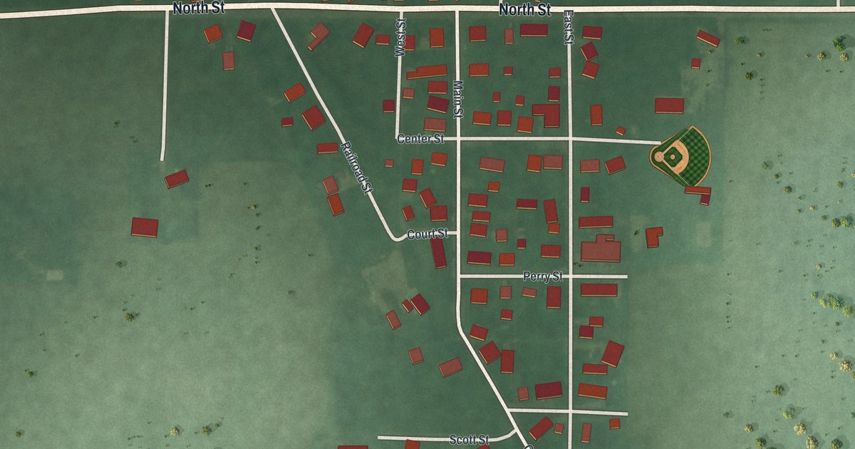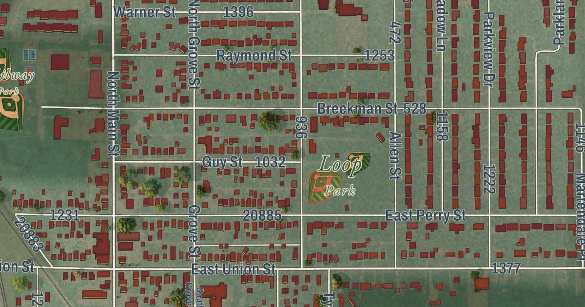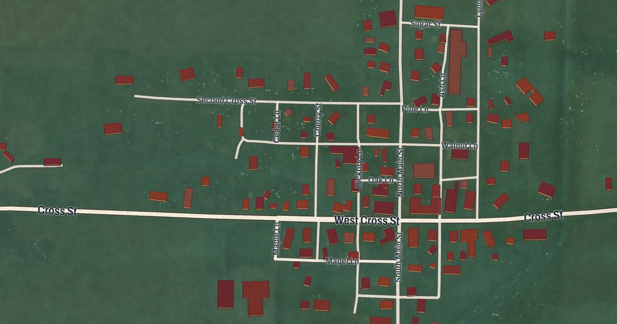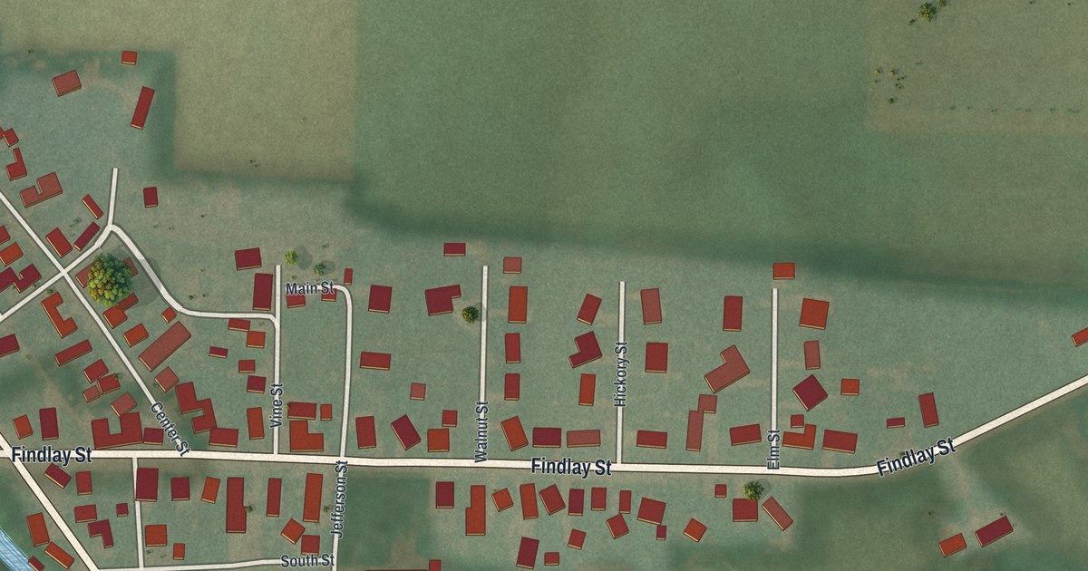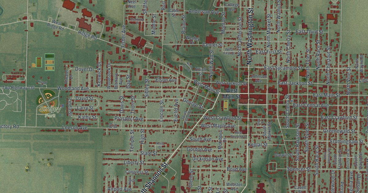
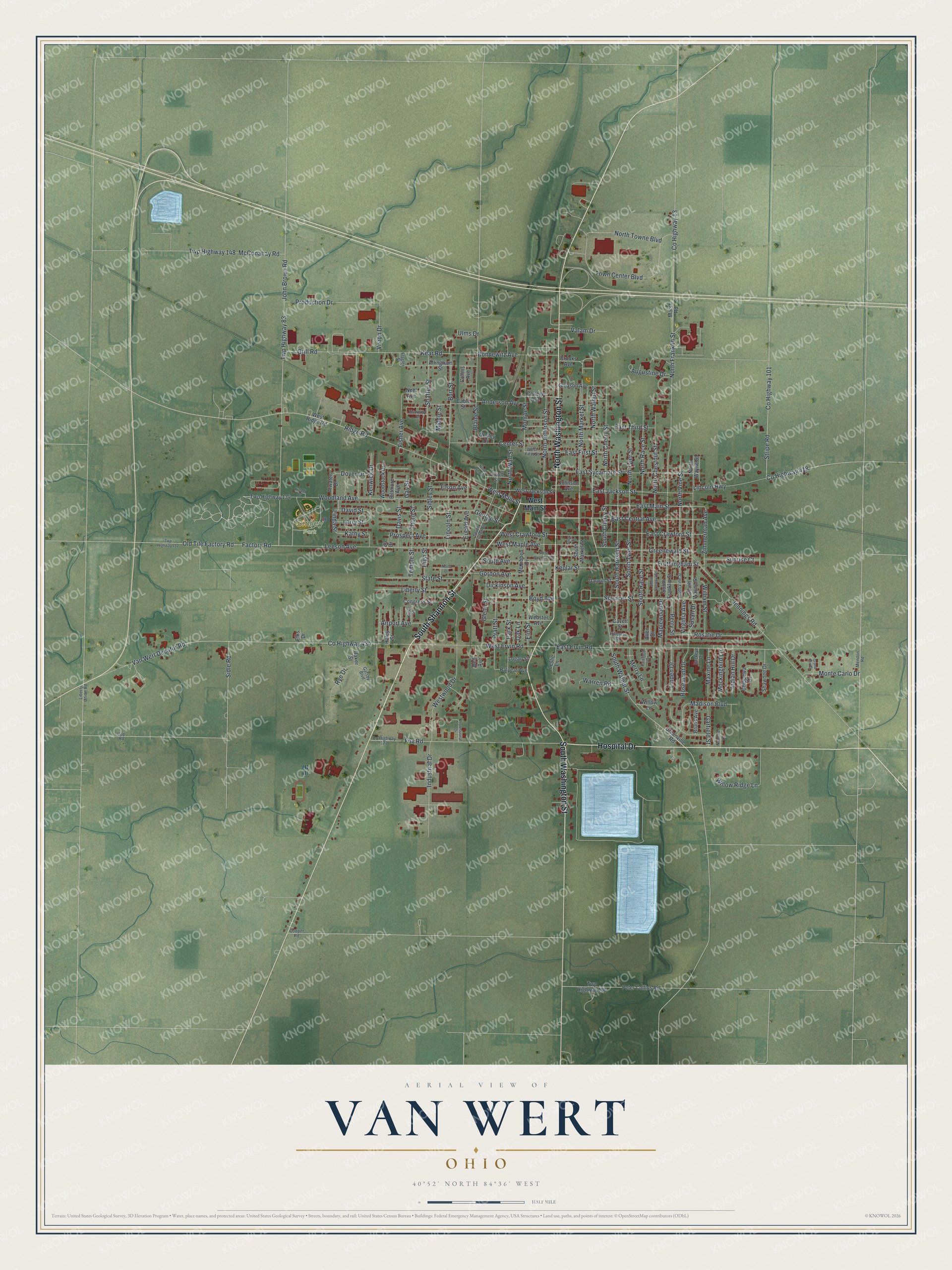
This beautifully detailed map of Van Wert, Ohio was created in 2026 using aerial imagery combined with modern topographical, census, street and landmark data. It’s a one-of-a-kind view of Van Wert that combines accurate data with a vintage aesthetic. The map shows every building in its true location, many of the roads carry their names, and the shaded topographic relief shows the shape of the land.
Explore an aerial view of Van Wert, Ohio
On the map you’ll find Smiley Park, along with South Shannon Street, Hospital Drive, South Washington Street, North Washington Street, Fox Road, County Highway 434, West Main Street, Kear Road, West Ervin Road, Grill Road, Ridge Road, and more. If you look closely you can even find your house accurately drawn in its correct location. Zoom in on the preview to look for yours.
Did you know this piece of Van Wert, Ohio history?
The city takes its name from Isaac Van Wart. In the Revolutionary War, he was one of the captors of Major John Andre. The town is also home to the Brumback Library. It was the first county library in the United States.
Take a closer look at the Van Wert map
Street and place names on the Van Wert, Ohio map
These names are printed on the map of Van Wert, Ohio.
Places: Smiley Park.
Streets and roads: South Shannon Street, Hospital Drive, South Washington Street, North Washington Street, Fox Road, County Highway 434, West Main Street, Kear Road, West Ervin Road, Grill Road, Ridge Road, East Central Avenue.
More street names, A to Z
Airport Avenue, Allen Drive, Allingham Street, Anderson Avenue, Atwater Drive, Augustine Drive, Baker Street, Balyeat Avenue, Bell Avenue, Biltmore Avenue, Blaine Street, Bonnewitz Avenue, Boyd Avenue, Briarwood Drive, Brooks Avenue, Bruns Avenue, Buckeye Drive, Burt Street, Cable Street, Cavett Street, Center Street, Chippewa Drive, College Avenue, Collins Avenue, Congress Street, Cooper Road, County Highway 13, County Highway 101, County Highway 122, County Highway 418, Darwin Street, David Street, Davis Street, Dickinson Avenue, Dover Drive, East Crawford Street, East Ervin Road, East First Street, East Jackson Street, East Main Street, East Sycamore Street, East Third Street, Elks Drive, Ell Drive, Elliott Street, Elm Street, Elson Avenue, Euclid Avenue, Factory Road, Fairfield Drive, Fisher Avenue, Flagler Street, Frothingham Street, Garfield Street, Gatsby Boulevard, Gay Street, George Street, Gleason Avenue, Glenn Street, Gordon Avenue, Grand Prix Drive, Greenewald Street, Greenville Road, Haley Street, High Street, Hillcrest Drive, Indian Hill Drive, Industrial Drive, Jennings Road, John Brown Road, Johnson Avenue, Kathy Street, Kenwick Drive, Keplar Street, Kiger Street, Krendl Drive, Larry Street, Leeson Avenue, Leslie Lane, Liberty Street, Liberty Union Road, Lincoln Highway, Lincoln Street, Linda Street, Linden Drive, Logan Street, Madison Boulevard, Maplewood Drive, Marsh Road, Maxine Lane, McConahay Road, McKibben Drive, Mendon Road, Merry Lane, Middle Street, Mockingbird Lane, Monroe Street, Monte Carlo Drive, Nanette Lane, Neela Drive, Neel Avenue, North Cherry Street, North Chestnut Street, North Franklin Street, North Jefferson Street, North Lynn Street, North Market Street, North Race Street, North Towne Boulevard, North Tyler Street, North Vine Street, North Wall Street, North Walnut Street, North Wayne Street, Oak Lane, Old Tile Factory Road, Park Street, Perry Street, Peter Collins Road, Pratt Street, Production Drive, Professional Drive, Prospect Avenue, Rosalie Drive, Rosemont Drive, Rye Drive, Shaffer Street, Shawnee Drive, Short Street, Sibley Street, Sidle Road, South Avenue, South Cherry Street, South Chestnut Street, South Franklin Street, South Fulton Street, South Harrison Street, South Market Street, South Race Street, South Tyler Street, South Vine Street, South Walnut Street, South Wayne Street, Spencer Street, State Street, Stripe Road, Sunrise Court, Susan Drive, Temple Street, Thorn Street, Town Center Boulevard, Twp Highway 83, Twp Highway 106, Twp Highway 132, Twp Highway 134, Twp Highway 148, Ulms Drive, Upp Road, Valam Drive, Van Wert Decatur Road, Virginia Avenue, Vision Drive, Warren Road, Webster Avenue, Wesley Drive, West Crawford Street, West First Street, West Jackson Street, West Maple Avenue, West Raymond Street, West Ridge Road, Westwood Drive, William Street, Willow Lane, Willow Ridge Lane, Woodland Avenue, Woodstock Drive, Zimmerman Avenue.
See the Van Wert, Ohio map on a wall
The Van Wert map as an 18 x 24 inch print in a black frame.

This beautifully detailed map of Van Wert makes an attractive addition to your office, library, or den, and it can even be used to teach children the geography and history of the area. It also makes a great gift for anyone with Van Wert roots. When you’re done exploring, click here to get your copy of the Van Wert map.