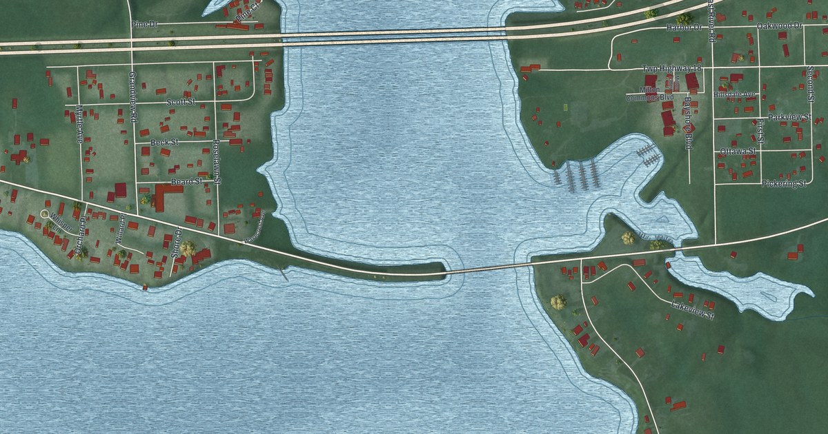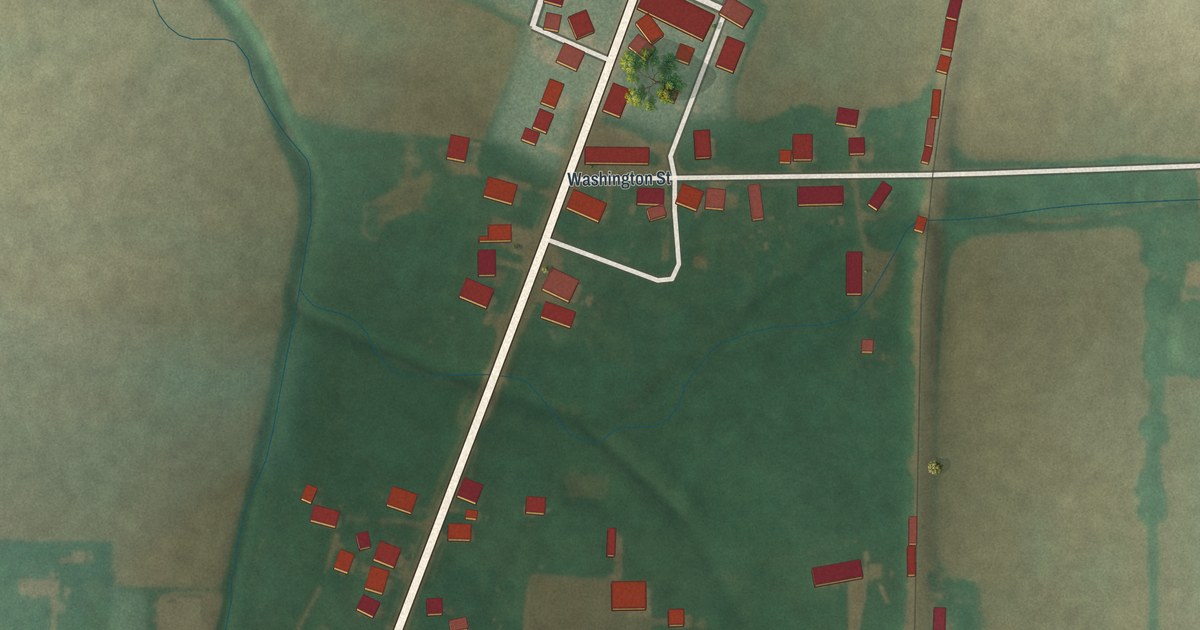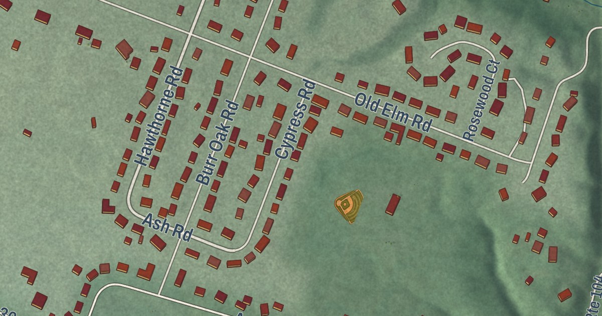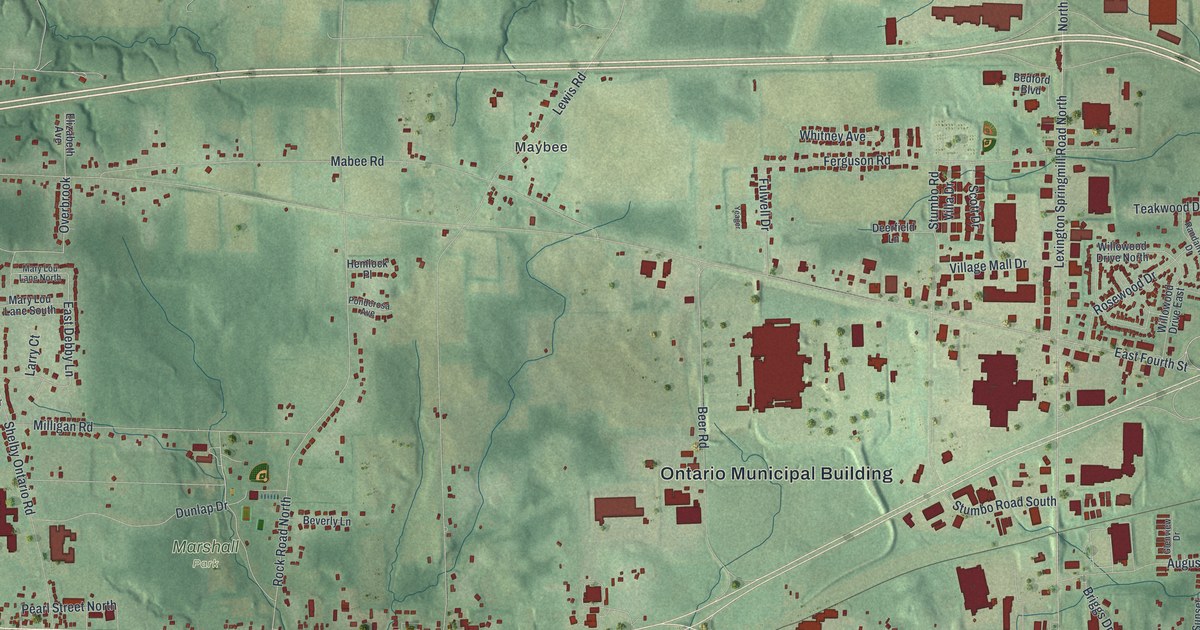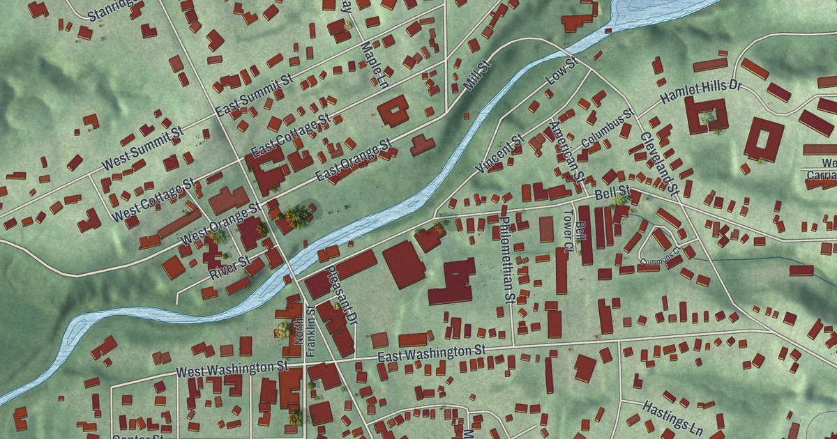
This beautifully detailed map of Chagrin Falls, Ohio was created in 2026 using aerial imagery combined with modern topographical, census, street and landmark data. It’s a one-of-a-kind view of Chagrin Falls that combines accurate data with a vintage aesthetic. The map shows every building in its true location, many of the roads carry their names, and the shaded topographic relief shows the shape of the land.
Explore an aerial view of Chagrin Falls, Ohio
On the map you’ll find Whitesburg Nature Preserve and River Run Park, along with South Franklin Street, South Street, East Orange Street, North Street, West Orange Street, West Washington Street, Mill Street, East Washington Street, South Main Street, East Cottage Street, and more. If you look closely you can even find your house accurately drawn in its correct location. Zoom in on the preview to look for yours.
Did you know this piece of Chagrin Falls, Ohio history?
Chagrin Falls grew up around the High Falls of the Chagrin River. Early settler Seth Henderson bought the land around the falls. From 1837 to 1870, factories along the banks made axes, iron goods, paper and woodenware. Mills on the river turned out flour, wool and lumber. That’s from the Encyclopedia of Cleveland History.
Take a closer look at the Chagrin Falls map
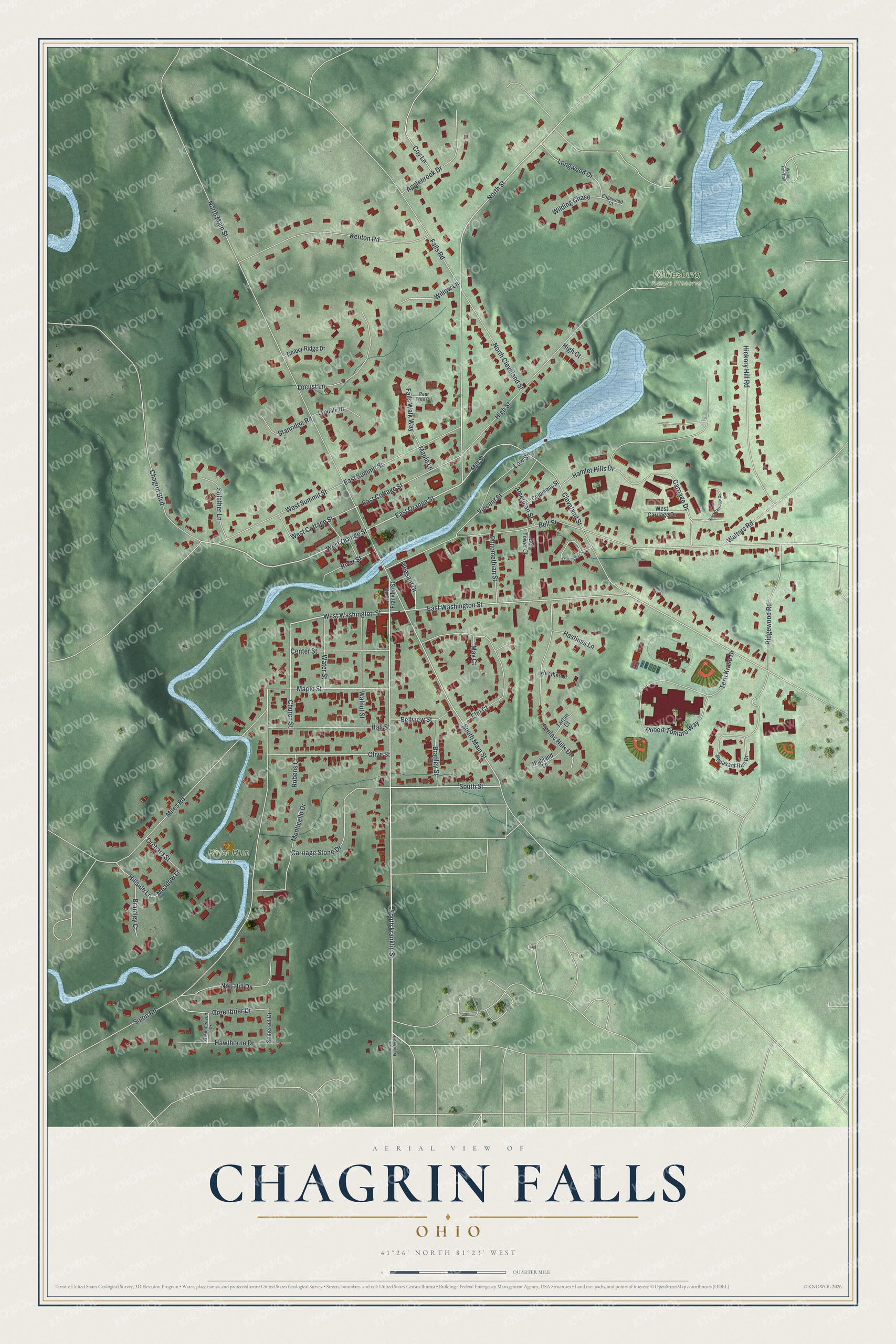
Street and place names on the Chagrin Falls, Ohio map
These names are printed on the map of Chagrin Falls, Ohio.
Places: Whitesburg Nature Preserve and River Run Park.
Streets and roads: South Franklin Street, South Street, East Orange Street, North Street, West Orange Street, West Washington Street, Mill Street, East Washington Street, South Main Street, East Cottage Street, West Cottage Street, Meadow Lane.
More street names, A to Z
American Street, Applebrook Drive, Bell Street, Bell Tower Court, Bellview Street, Bradley Street, Bramley Court, Carriage Drive, Carriage Stone Drive, Center Street, Chagrin Boulevard, Church Street, Cleveland Street, Columbus Street, Commons Court, Coy Lane, East Carriage Drive, East Summit Street, Edgewood Court, Elm Court, Falls Road, Falls Walk Way, Greenbrier Drive, Greenheaven Drive, Hall Street, Hamlet Hills Drive, Hastings Lane, Hawthorne Drive, Heather Court, Hickory Hill Road, High Court, Highland Lane, High Street, Hillside Lane, Kenton Road, Locust Lane, Longwood Drive, Low Street, Lyndale Drive, Maple Lane, Maple Street, May Court, Miles Road, Monticello Drive, Nob Hill Drive, North Cleveland Street, North Franklin Street, North Main Street, Olive Street, Orchard Street, Pear Tree Circle, Pheasant Run Drive, Philomethian Street, Pleasant Drive, Ridgewood Road, River Street, Robens Court, Robert Tomaro Way, Senlac Hills Drive, Solether Lane, Solon Road, Somerset Drive, South Franklin Road, Stanridge Road, Tartan Court, Terri Kruse Drive, Timber Ridge Drive, Vincent Street, Walnut Street, Walters Road, Water Fall Trail, Water Street, West Carriage Drive, West Summit Street, Wilding Chase, Willow Lane.
See the Chagrin Falls, Ohio map on a wall
The Chagrin Falls map as an 18 x 24 inch print in a black frame.

This beautifully detailed map of Chagrin Falls makes an attractive addition to your office, library, or den, and it can even be used to teach children the geography and history of the area. It also makes a great gift for someone who left Chagrin Falls and still calls it home. When you’re done exploring, click here to get your copy of the Chagrin Falls map.