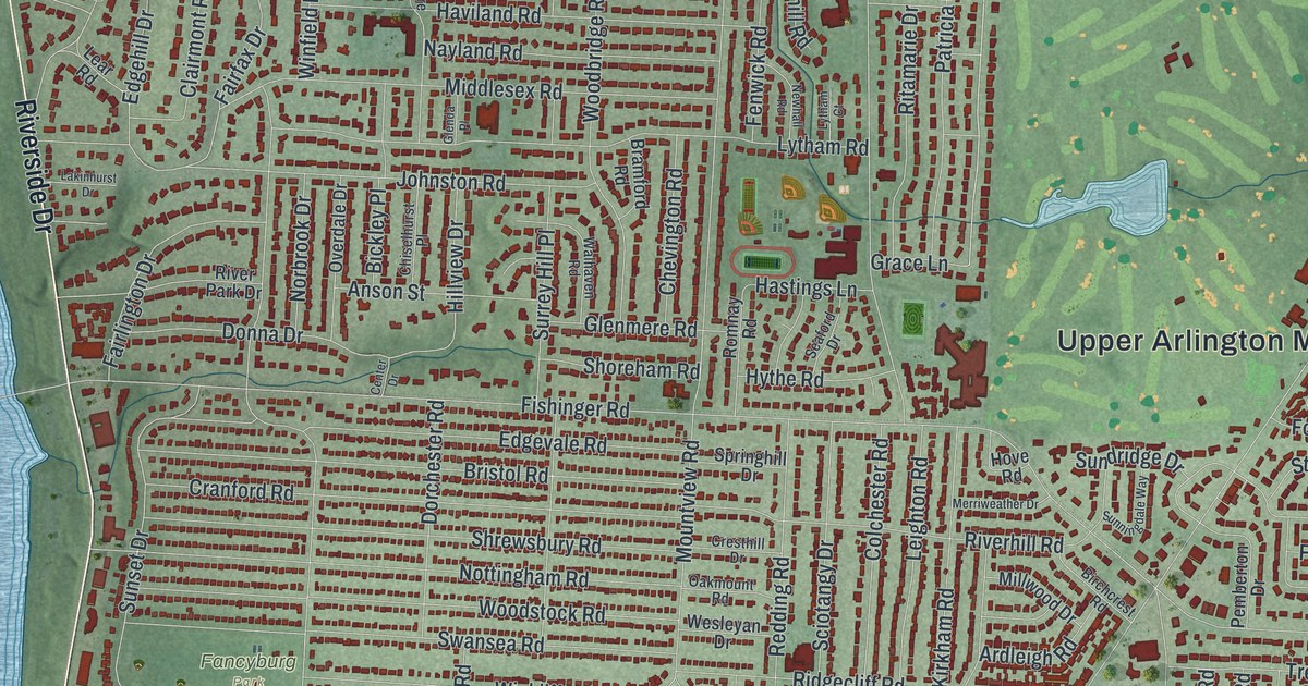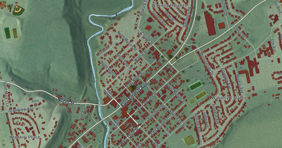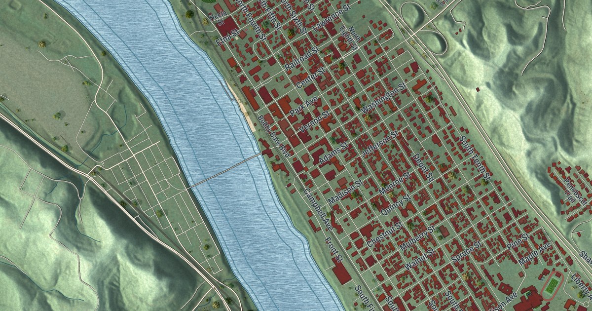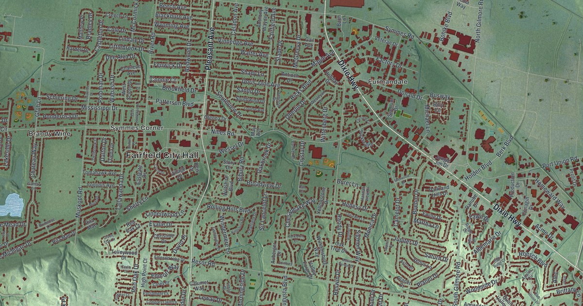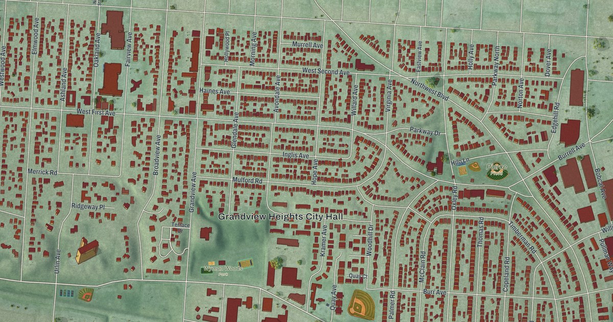
If you grew up in Grandview Heights or still run errands on Grandview Avenue, this map is for you. It's a modern aerial view of Grandview Heights in Franklin County, Ohio, made from modern data and given a vintage artistic feel. Red buildings fill the blocks from West Fifth Avenue down to Goodale Boulevard. Grandview Heights City Hall sits near the middle. Blue water bends along the left side, and a river runs down the right.
Grandview Avenue and the streets around it
On this map you'll find Grandview Avenue, West First Avenue, Goodale Boulevard, Northwest Boulevard, Dublin Road, West Third Avenue, West Fifth Avenue, Grandview Heights City Hall, Wyman Woods Park, Pierce Field, Oakland Avenue, Broadview Avenue, Burr Avenue, and more. Each red shape is a building, so zoom in on the preview and look for yours.
The Bank Block on Grandview Avenue
The Bank Block on Grandview Avenue was dedicated in 1928. Don Monroe Casto Sr. built it. An Ohio History Connection historical marker calls it one of the earliest regional shopping centers in the United States. Its big idea was parking. More people were driving cars by then. So Casto gave them 350 free parking spaces, with a uniformed attendant to watch the lot. The first tenants included three grocers that competed side by side: Kroger, A&P and Piggly Wiggly. There was also a bank, a stationer, a barber shop and a pharmacy. Casto was once called "the man who changed the shopping habits of the free world." The building was added to the National Register in 1997. It's still the center of Grandview's shopping district. Find Grandview Avenue on the map, and you've found its street.
Grandview Heights, from West Fifth Avenue to Goodale Boulevard
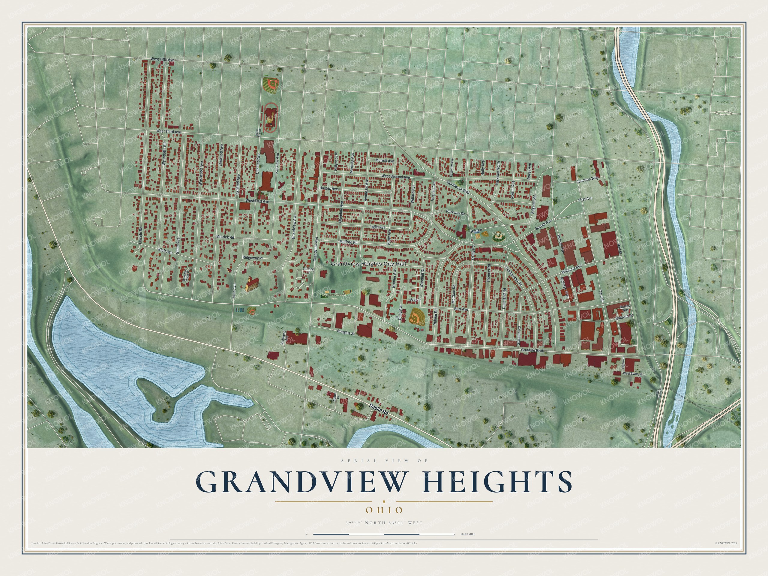
Created by KNOWOL in 2026, this print shows Grandview Heights from above, with red buildings set on soft green land and blue water along both sides. The title panel reads "Aerial View of Grandview Heights, Ohio" with 39°59' North 83°03' West printed below it.
It fits well in a living room, a home office or a front hall. It's a good gift for anyone who shopped at the Bank Block or grew up near Grandview Avenue, especially someone who has moved away. Open the preview and find your street. See sizes and frames for the Grandview Heights map.