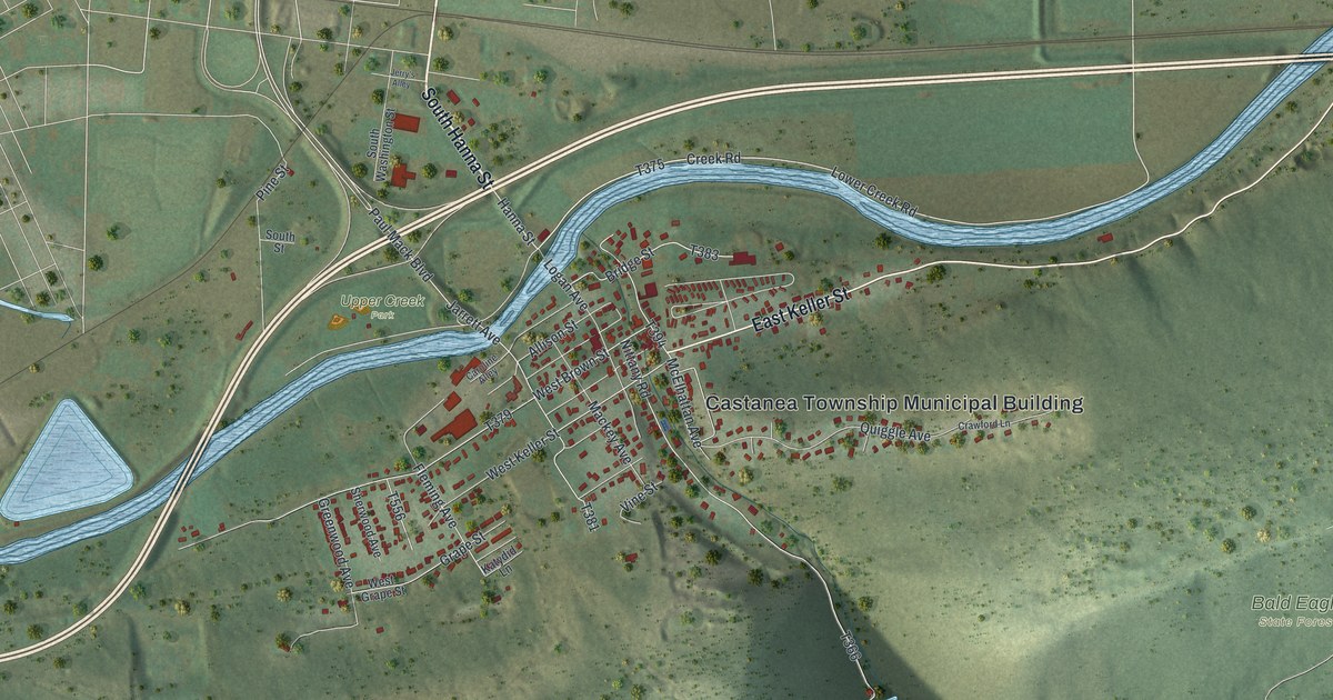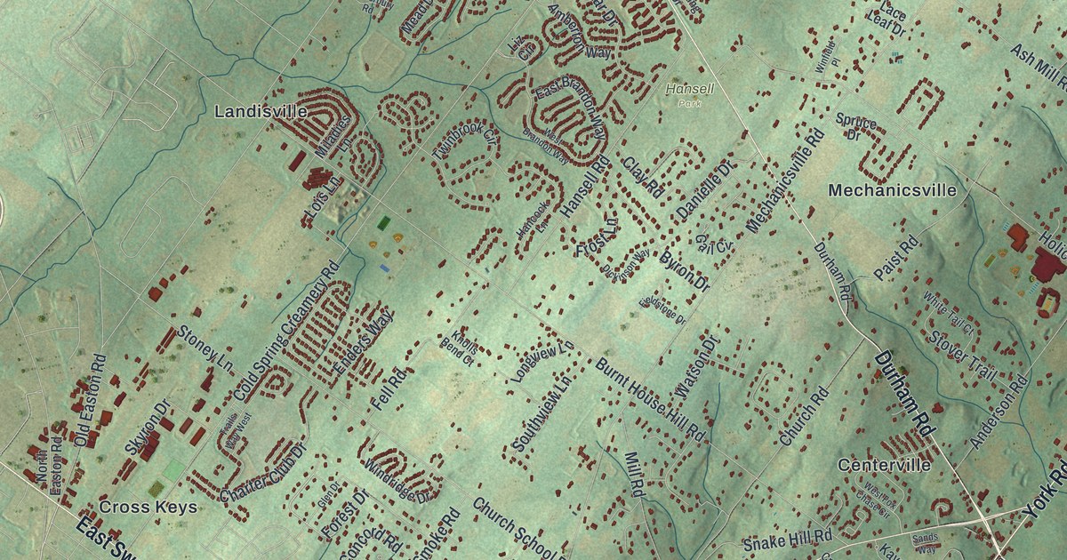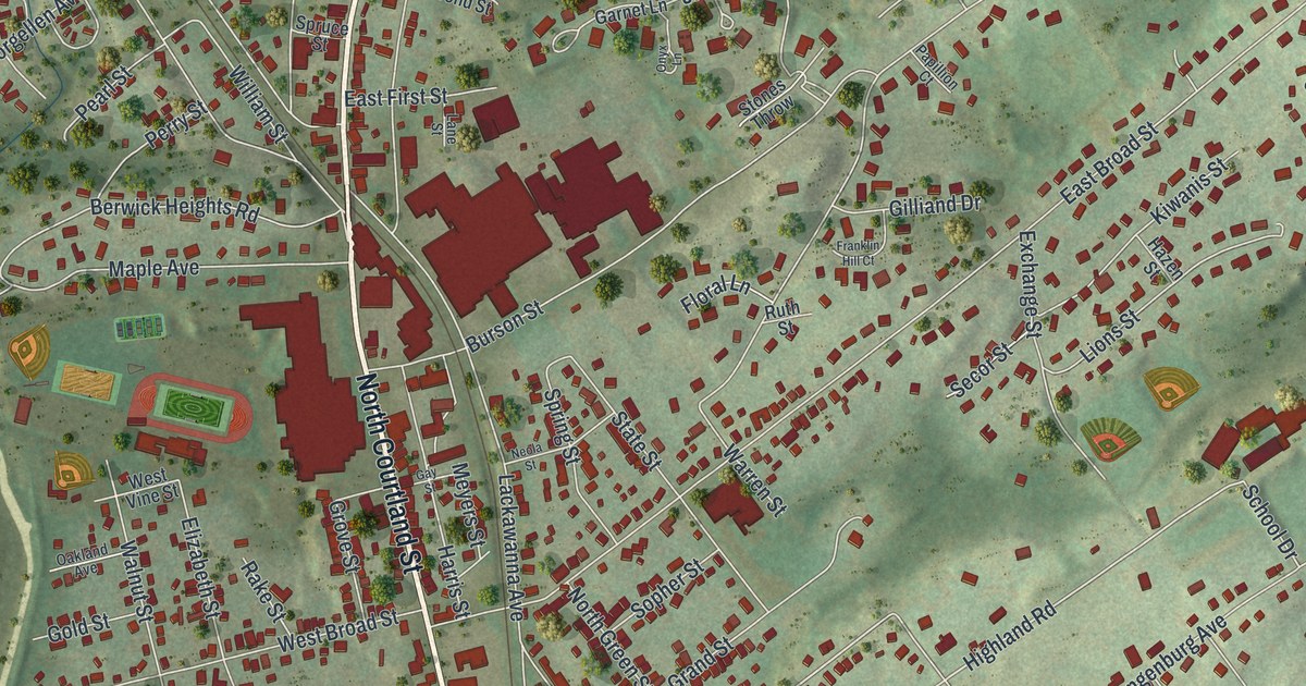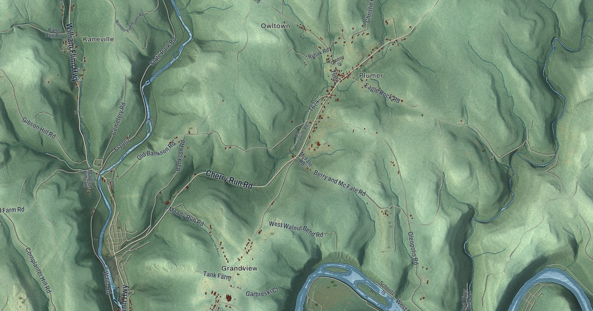
If you grew up in Plumer, Grandview or Hasson Heights, or you've walked the old town site at Pithole, this map is for you. It's a new aerial view of Cornplanter Township in Venango County, Pennsylvania, made from modern data and given a vintage look. Green hills rise between deep creek valleys, and a wide blue river loops across the bottom of the sheet. Small red buildings gather in Plumer, Grandview, Hasson Heights and Colonial Village. Up in the hills to the right, you'll find the name Pithole City.
Pithole City, Plumer and Grandview on the Cornplanter Map
On this map you'll find William Flinn Highway, Rouseville Road, Cherry Run Road, Pithole Road, Grandview Road, Petroleum Center Road, Oleopolis Road, Union Street, Hillcrest Avenue, Pithole City, Petroleum Center, Plumer, Hasson Heights, Colonial Village, Oleopolis, and more. Each red shape is a building, so zoom in on the preview and look for yours.
Pithole City, the Oil Boom Town of 1865
Oil was found at Pithole in 1865. Within a few months, it was a boom town of 15,000 people. It had banks, churches, hotels, a newspaper and a post office. It even had a water system and a railroad. Then the wells began to go dry in less than a year. By 1868, Pithole was a ghost town. In time, only dug-out holes and the lines of old streets were left. That's the story told on state markers from the Pennsylvania Historical and Museum Commission, which looks after the site today. On the map, Pithole City sits near Pithole Road and Lesher Road, in the upper right.
The McClintock No. 1 Well From 1861
Oil shaped the whole township. The 1890 History of Venango County says this is where pumping, shipping and refining oil first grew into a real industry. Half a dozen towns of 5,000 to 15,000 people rose here at different times. One well from those early days is McClintock No. 1. It was drilled only two years after the famous Drake Well. It began producing oil in August 1861. When the state put up its marker in 1958, the well had never stopped. That marker stands where William Flinn Highway meets Waitz Road.
A Map for Cornplanter Families Near and Far
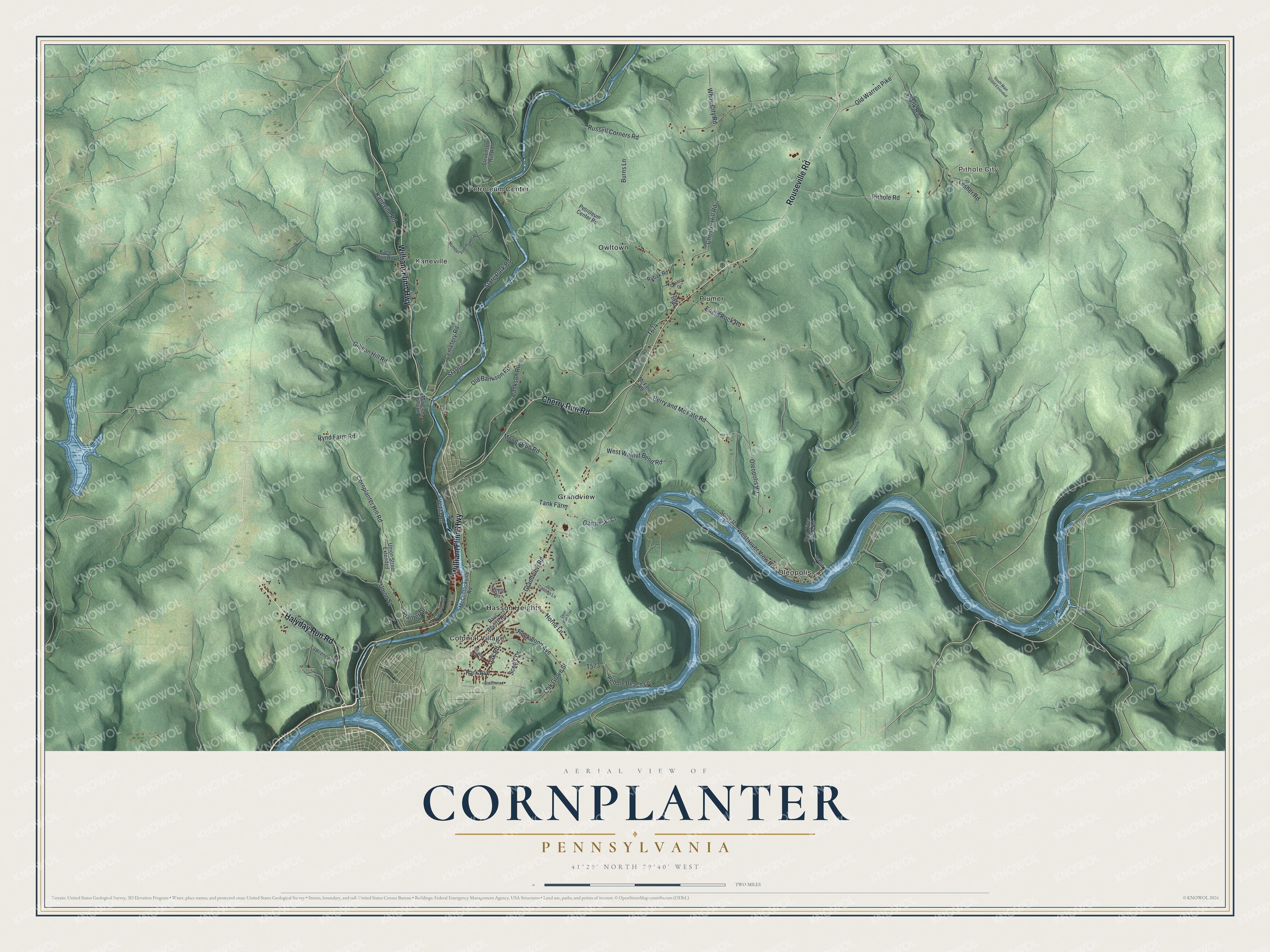
Created by KNOWOL in 2026, this print shows Cornplanter's hills in soft shaded green, with water in blue and every building in small red shapes. The cream title panel at the bottom reads "Aerial View of Cornplanter, Pennsylvania" with the coordinates 41°29' North 79°40' West.
It fits well in a living room, a den or a hallway where family photos hang. It makes a good gift for someone who grew up in Hasson Heights or who took the kids to see Pithole City. It's also a way to send a piece of home to someone who moved away. Open the preview and look for the roads you know. See sizes and frames for the Cornplanter map.