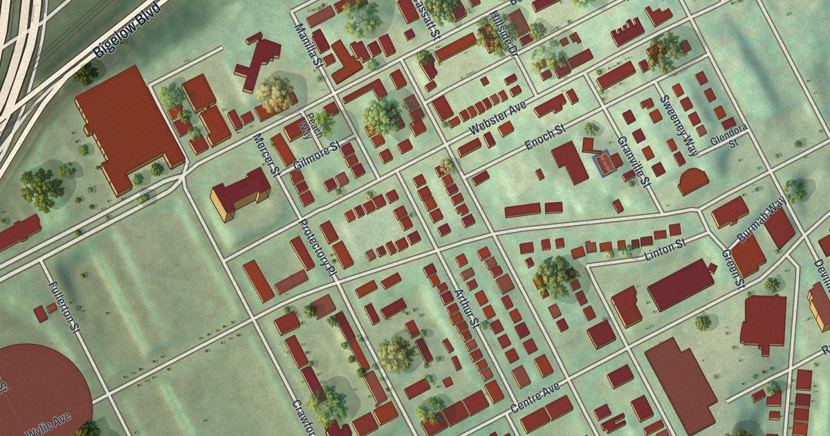
If you grew up in Crawford-Roberts, or your family still talks about the blocks along Wylie Avenue and Bedford Avenue, this map is for you. It's a modern aerial view of Crawford-Roberts in Pittsburgh, Allegheny County, Pennsylvania, made from modern data and given a vintage look. Rows of red buildings climb the green hillside. Bigelow Boulevard sweeps along one side, and blue river water shows in two corners of the sheet.
Bedford Avenue, Wylie Avenue and Centre Avenue
On this map you'll find Wylie Avenue, Bedford Avenue, Centre Avenue, Webster Avenue, Crawford Street, Roberts Street, Bigelow Boulevard, Reed Street, Dinwiddie Street, Logan Street, Granville Street, Soho, and more. Each red shape is a building, so zoom in on the preview and look for yours.
August Wilson's Birthplace on Bedford Avenue
A state historical marker stands at 1727 Bedford Avenue. It marks the birthplace of August Wilson. He wrote a cycle of ten plays, one for each decade of the 20th century. The marker says most of them focus on African American life in the Hill District. Two of them, "Fences" and "The Piano Lesson," won Pulitzer prizes for drama in 1987 and 1990. "Fences" also won a Tony Award on Broadway. He helped start Pittsburgh's Black Horizon Theater, too. In 2013 his house was added to the National Register of Historic Places. Find Bedford Avenue on the print, and you're looking at the street where his story began.
The Jazz Union on Crawford Street
Crawford Street has a marker of its own, between Wylie and Webster avenues. It remembers Union Local 471 of the American Federation of Musicians. The local started in 1908. It was one of the first African American musicians' unions in Pennsylvania. Its headquarters sat nearby from 1940 to 1954. Jazz greats Mary Lou Williams, Art Blakey, Ray Brown and George Benson were all members. In the 1960s, a merger with the white union local ended it. The marker calls that merger controversial, and says it closed one of the oldest Black union groups in the country.
Keep Wylie Avenue and Bedford Avenue Close
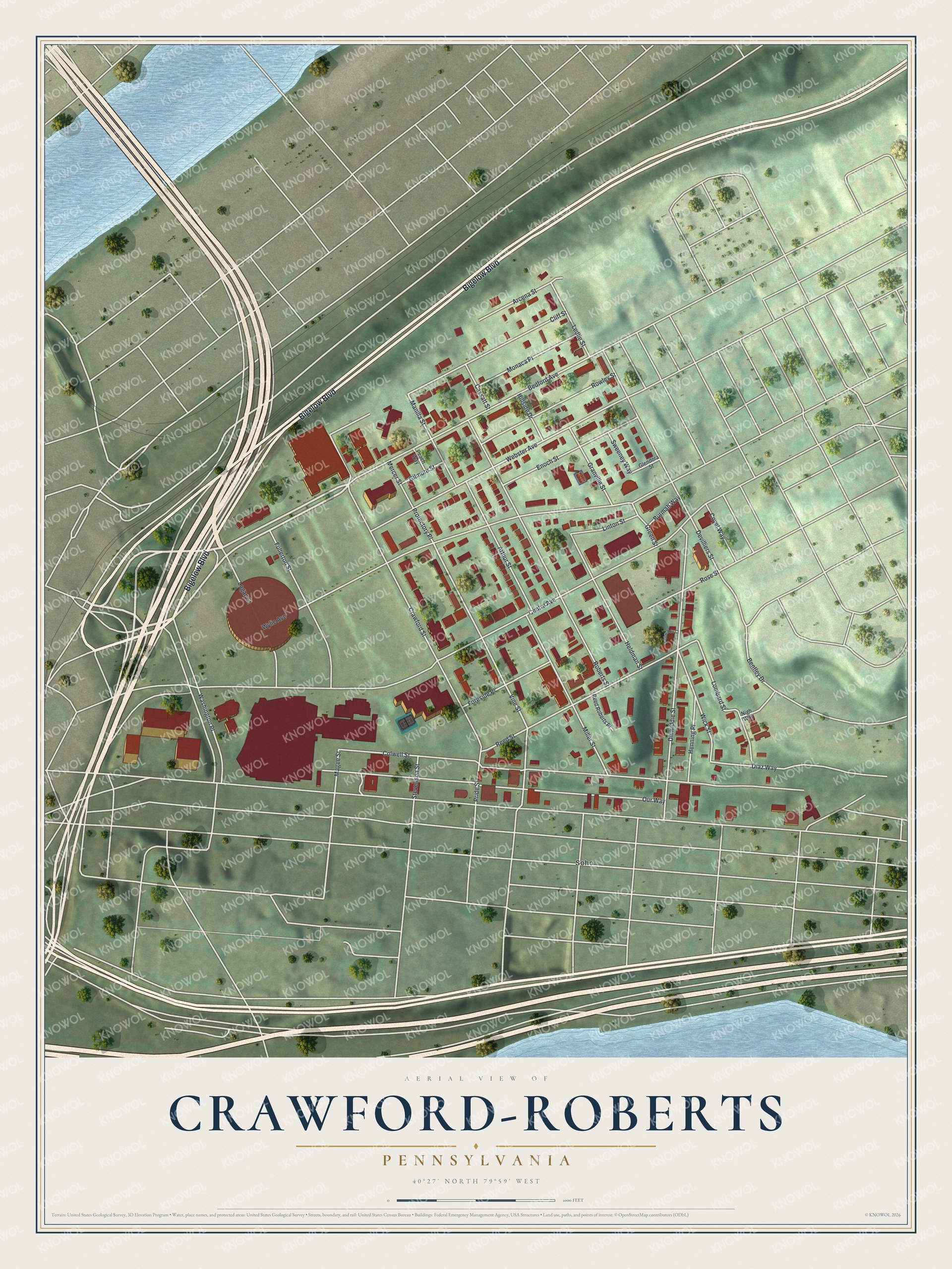
Created by KNOWOL in 2026, this print shows Crawford-Roberts from above in soft greens, with red buildings, cream roads and blue river water in two corners. The title panel reads "Aerial View of Crawford-Roberts, Pennsylvania" with 40°27' North 79°59' West printed below.
It fits a living room, a hallway or a home office. It's a thoughtful gift for someone who grew up near Bedford Avenue, or for anyone who moved away and still misses Wylie Avenue. Open the preview and find your block. See sizes and frames for the Crawford-Roberts map.