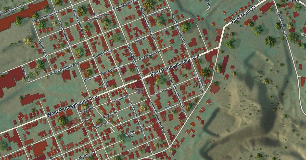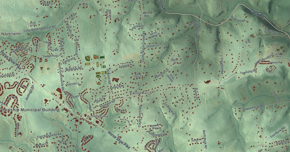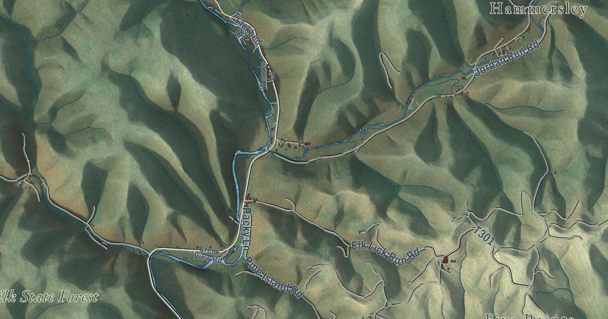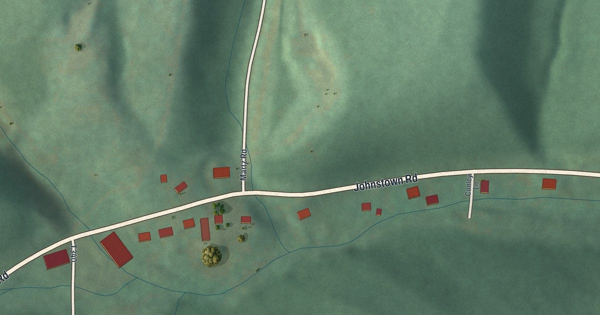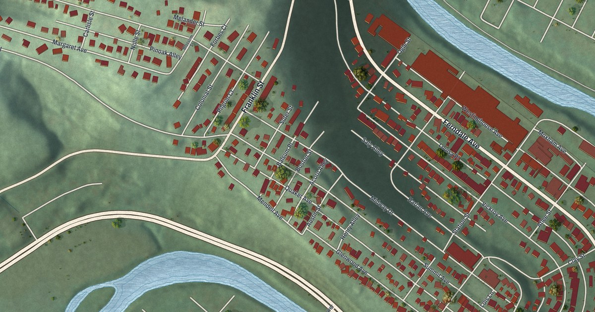
This beautifully detailed map of Ferndale, Pennsylvania was created in 2026 using aerial imagery combined with modern topographical, census, street and landmark data. It’s a one-of-a-kind view of Ferndale that combines accurate data with a vintage aesthetic. The map shows every building in its true location, many of the roads carry their names, and the shaded topographic relief shows the shape of the land.
Explore an aerial view of Ferndale, Pennsylvania
On the map you’ll find Louisa Place, along with Ferndale Avenue, Franklin Street, Margaret Avenue, Vickroy Avenue, Harlan Avenue, Summit Avenue, Hystone Avenue, Midway Drive, Westinghouse Avenue, Station Street, Plainfield Avenue, and more. If you look closely you can even find your house accurately drawn in its correct location. Zoom in on the preview to look for yours.
Did you know this piece of Ferndale, Pennsylvania history?
Ferndale became a borough in 1896, formed from Upper Yoder Township. The Vickroy family named it for the thick growth of ferns that covered the area. Their Ferndale farm had been bought in 1798 by Thomas Vickroy, a surveyor who helped lay out the old part of Pittsburgh. His son Edwin and Edwin’s wife Cornelia moved there in 1831. That’s from Henry Wilson Storey’s 1907 History of Cambria County, Pennsylvania.
Take a closer look at the Ferndale map
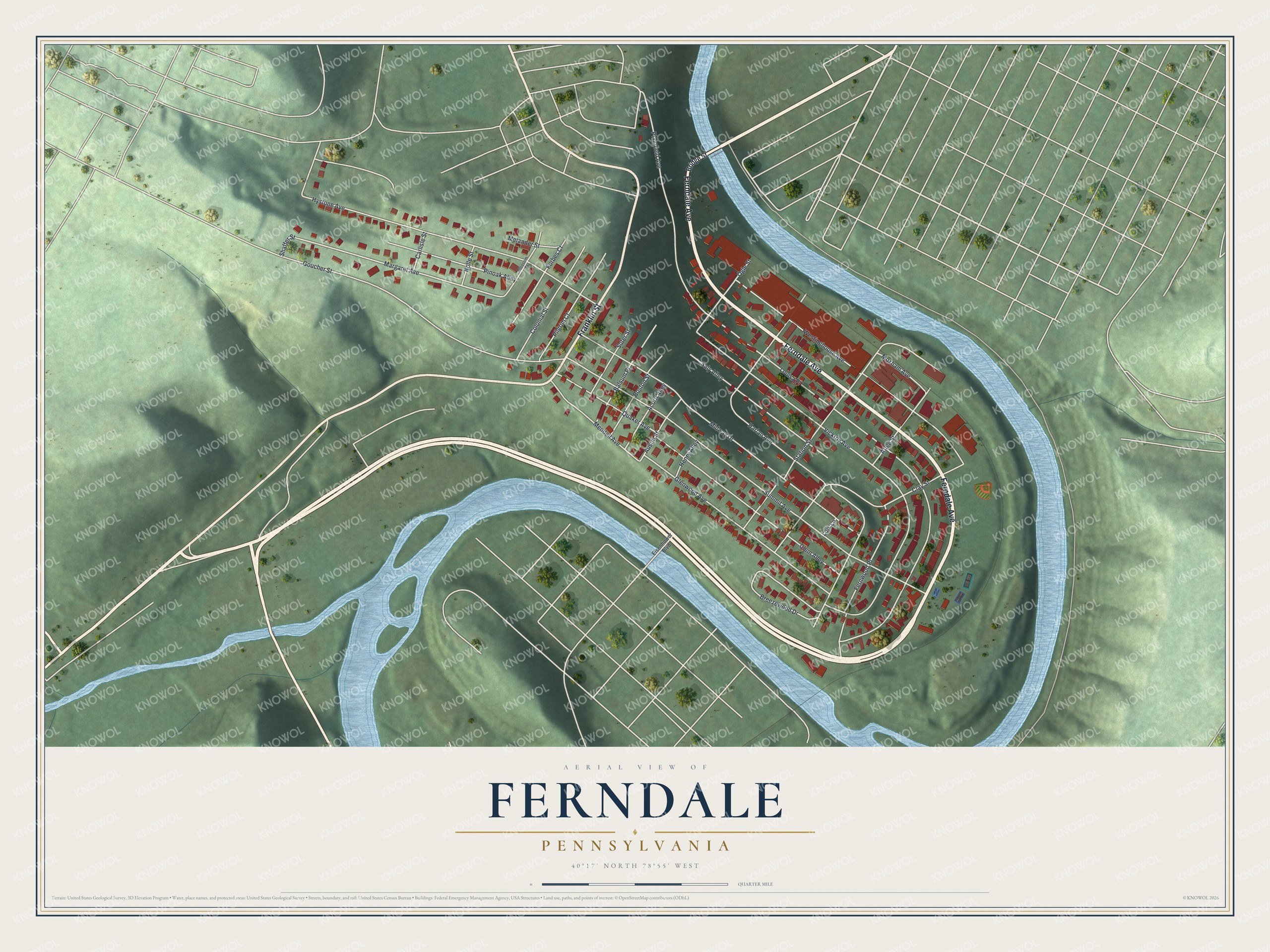
Street names on the Ferndale, Pennsylvania map
These names are printed on the map of Ferndale, Pennsylvania.
Streets and roads: Ferndale Avenue, Franklin Street, Margaret Avenue, Louisa Place, Vickroy Avenue, Harlan Avenue, Summit Avenue, Hystone Avenue, Midway Drive, Westinghouse Avenue, Station Street, Plainfield Avenue.
More street names, A to Z
Acorn Alley, Atlee Street, Austin Street, Balsum Place, Blossom Street, Boston Street, Breezewood Drive, Bridge Street, Carlisle Street, Clay Street, Clem Alley, Colonial Street, Eisenhower Boulevard, Fernwood Place, Forbes Court, Glenwood Avenue, Goucher Street, Henry Alley, Lois Lane, Melander Street, Mendell Avenue, Moxham Avenue, Nolle Street, Ogle Street, Pilgrim Court, Pinoak Alley, Quaker Avenue, Saly Alley, Shaffer Street, Suter Street.
See the Ferndale, Pennsylvania map on a wall
The Ferndale map as an 18 x 24 inch print in a black frame.

This beautifully detailed map of Ferndale makes an attractive addition to your office, library, or den, and it can even be used to teach children the geography and history of the area. It also makes a great gift for anyone with Ferndale roots. When you’re done exploring, click here to get your copy of the Ferndale map.