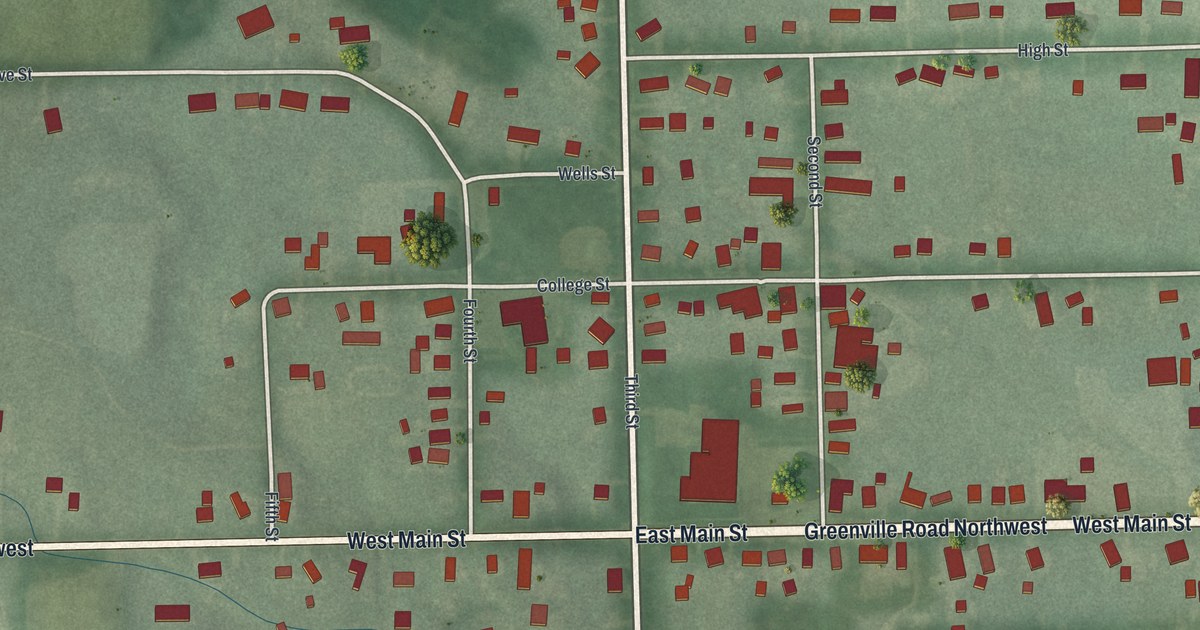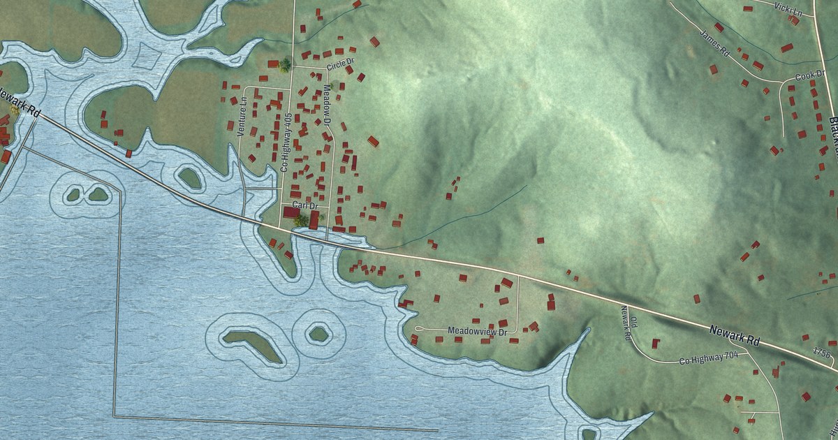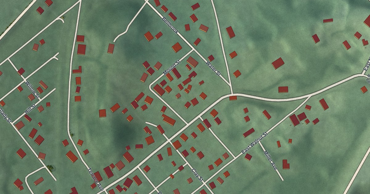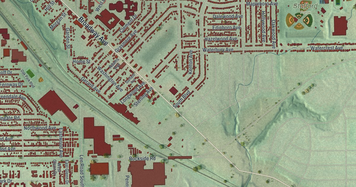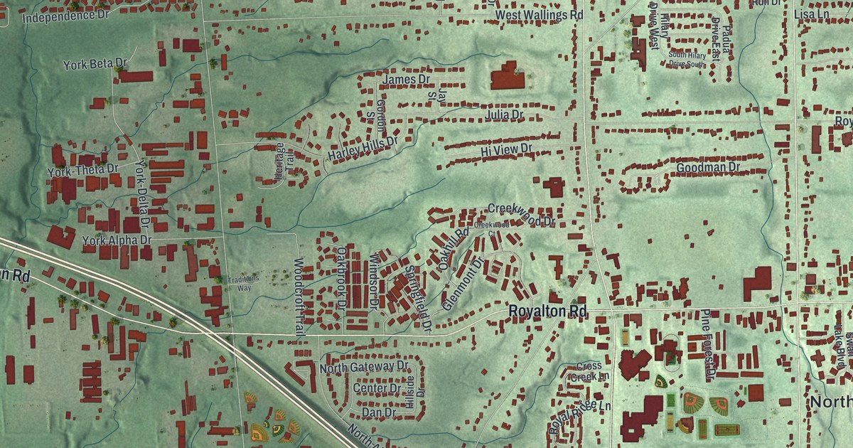
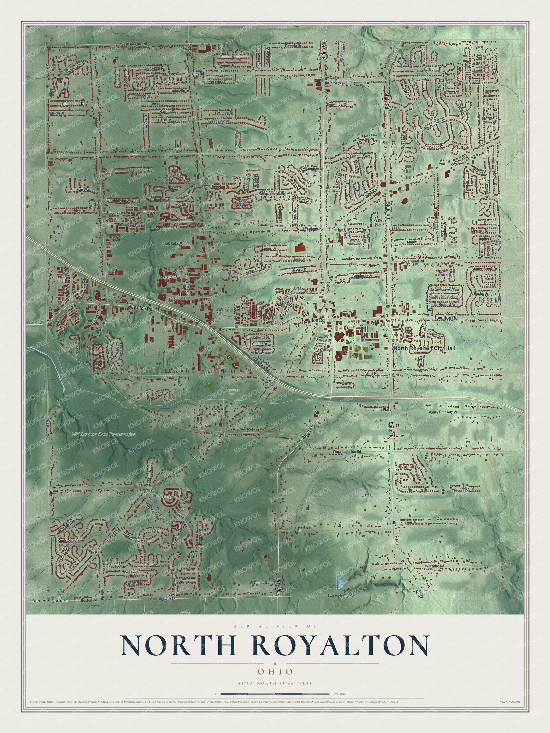
This beautifully detailed map of North Royalton, Ohio was created in 2026 using aerial imagery combined with modern topographical, census, street and landmark data. It’s a one-of-a-kind view of North Royalton that combines accurate data with a vintage aesthetic. The map shows every building in its true location, many of the roads carry their names, and the shaded topographic relief shows the shape of the land.
Explore an aerial view of North Royalton, Ohio
On the map you’ll find North Royalton City Hall, Aukerman Park, Mill Stream Run Reservation, and Bennetts Corners, along with Ridge Road, State Road, Royalton Road, Sunrise Boulevard, Rainbow Lane, Applewood Drive, Yorkview Drive, West 130th Street, and more. If you look closely you can even find your house accurately drawn in its correct location. Zoom in on the preview to look for yours.
Did you know this piece of North Royalton, Ohio history?
North Royalton was founded in 1818. Early settler Knight Sprague named the township Royalton, after his hometown in Vermont. Between 1880 and 1890, it became North Royalton. The change was made because Ohio had another town called Royalton.
Take a closer look at the North Royalton map
Street and place names on the North Royalton, Ohio map
These names are printed on the map of North Royalton, Ohio.
Places: North Royalton City Hall, Aukerman Park, Mill Stream Run Reservation and Bennetts Corners.
Streets and roads: Ridge Road, State Road, Royalton Road, Sunrise Boulevard, Rainbow Lane, Applewood Drive, Yorkview Drive, West 130th Street, West Edgerton Road, Valley Parkway Drive, Bennett Road, York Road.
More street names, A to Z
Abbey Road, Akins Road, Albion Road, Andover Lane, Angelina Drive, Apollo Drive, Ashley Lane, Aspen Oval, Athena Drive, Bear Oval, Beckenham Road, Beechwood Drive, Bentley Drive, Berkeley Lane, Boston Road, Bridget Drive, Brookhaven Drive, Bunker Road, Butternut Lane, Cady Road, Cannon Oval, Castle Drive, Cedarwood Drive, Center Drive, Chesapeake Drive, Christopher Drive, Cinnamon Boulevard, Claridge Court, Clearbrook Oval, Clubhouse Drive, Corkwood Drive, County Highway 13, Cove Drive, Creek Run Drive, Creekside Circle, Creekwood Court, Creekwood Drive, Cross Creek Lane, Crystal Lakes Drive, Dales Court, Dan Drive, Deer Creek Drive, Delsy Drive, Devonshire Drive, Donmar Road, Doula Drive, Drake Road, Dublin Drive, Eagle Chase, Eagle Nest Drive, Eagle Point, Eastend Drive, Edgewood Drive, Elaine Drive, Evergreen Trail, Fawnhaven Drive, Firefly Drive, Forest Court, Forest Glen Drive, Forestwood Lane, Foxwood Drive, Friar Post, Gabriella Drive, Gardenside Drive, Glen Abbey Drive, Glenmont Drive, Glenwillow Drive, Goodman Drive, Gordon Street, Greenwood Road, Gregory Lane, Greyfriars Circle, Hampton Club Drive, Harbour Light Drive, Hardwood Trail, Harley Hills Drive, Harrow Place, Hawley Drive, Hedgebrook Drive, Helen Drive, Hempstead Lane, Heritage Trail, Highland Drive, Hilary Drive West, Hillside Drive, Hi View Drive, Hunting Drive, Huntington Close, Independence Drive, Industrial First Avenue, Iron Gate Drive, Ivy Oval, Ivy Ridge Drive, James Drive, Jamestown Drive, Jay Street, Jonathan Drive, Julia Drive, Jupiter Drive, Kimrose Lane, Kingston Way, Kings Way, Knights Way, Lancelot Lane East, Lancelot Lane West, Lindberg Drive, Lisa Lane, Lodge Drive, Lola Lane, Louis Drive, Lynn Drive, Lytle Road, Madison Lane, Mahican Way, Malvern Drive, Maplegrove Avenue, Maple Lane, Mapleridge Drive, Martin Drive, McDermott Lane, Meadow Lane, Mercury Drive, Merlin Oval, Monica Drive, Montridge Court, Morning Star Drive, Nicole Place, North Akins Road, North Gateway Drive, North Star Drive, Nottingham Parkway, Nutmeg Lane, Oakbrook Drive, Oakhill Road, Oak Knoll Court, Oakridge Drive, Oakwood Lane, Olde Bennett Road, Padua Drive East, Pamela Drive, Parkdale Drive, Parkside Drive, Patricia Drive, Perl Court, Pinckneya Drive, Pinebrook Drive, Pine Forest Drive, Potomac Drive, Prince Charles Drive, Progress Parkway, Quail Oval, Quail Ridge Drive, Queensbridge Lane, Queens Way, Reckman Court, Redbay Lane, Red Oak North, Ridgedale Road, Ridge Line Drive, River Oaks Drive, River Road, River Rock Lane, River Run Lane, River Valley Boulevard, Riverview Drive, Royalhaven Drive, Royal Ridge Lane, Royal Valley Drive, Royalwood Road, Rustic Drive, Rye Gate Drive, Sailor Circle, Saturn Drive, Sawgrass Circle, Shaker Drive, Sharon Lane Drive, Sherwood Trail, Silverleaf Drive, Silver Tree Trail, Sir John Avenue, Sir Richard Avenue, Sir Robert Avenue, Somerset Drive, South Akins Road, Southampton Drive, South Hilary Drive South, Springfield Drive, Spruce Run Drive, Stephanie Drive, Stoney Creek Drive, Stream Side Drive, Stuart Court, Sundown Trail, Sunset Oval, Swan Lake Boulevard, Tanglewood Drive, Taras Drive, Thornhurst Drive, Thornton Drive, Tiffany Drive, Tilby Road, Timber Ridge Drive, Titan Drive, Traditions Way, Tudor Circle, Twp Highway 13, Valley Lane Drive, Valley Parkway, Villa Grande Drive, Vista Drive, Wallings Road, Walnut Hill Drive, Walnut Hills Drive, Washington Avenue, Waterbridge Drive, Waterford Drive, West Hampton Drive, West Sprague Road, West Wallings Road, Wildwood Drive, Willow Lake Drive, Wilton Lane, Wiltshire Road, Winding Way, Windsor Drive, Woodbury Lane, Woodcroft Trail, Wood Oval, Woodridge Drive, Woodside Drive, Worthington Way, York-Delta Drive, York-Theta Drive, York Alpha Drive, York Beta Drive, Yorkshire Way, Yvonne Drive.
See the North Royalton, Ohio map on a wall
The North Royalton map as an 18 x 24 inch print in a black frame.

This beautifully detailed map of North Royalton makes an attractive addition to your office, library, or den, and it can even be used to teach children the geography and history of the area. It also makes a great gift for anyone with North Royalton roots. When you’re done exploring, click here to get your copy of the North Royalton map.